Leadenhall
Settlement in Buckinghamshire
England
Leadenhall
Leadenhall is a small village located in the county of Buckinghamshire, England. Situated approximately 40 miles northwest of London, it is part of the Aylesbury Vale district. The village is nestled in a picturesque rural landscape, surrounded by rolling hills and farmland.
With a population of around 300 residents, Leadenhall retains a charming and close-knit community atmosphere. The village is primarily residential, consisting of a mix of traditional cottages and more modern houses. The architecture reflects the village's rich history, with some buildings dating back several centuries.
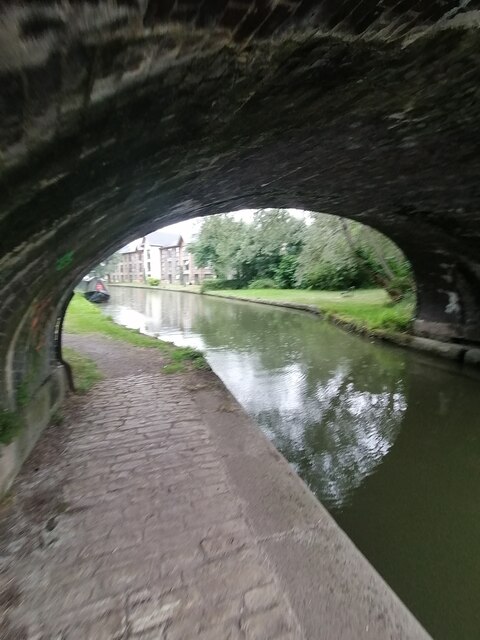
Leadenhall is known for its tranquil and idyllic surroundings, making it a popular destination for nature lovers and outdoor enthusiasts. The village is surrounded by beautiful countryside and provides ample opportunities for walking, hiking, and exploring the nearby Chiltern Hills, an Area of Outstanding Natural Beauty.
While Leadenhall is a peaceful and quiet village, it benefits from its proximity to larger towns and cities. The nearby market town of Aylesbury is just a short drive away and offers a range of amenities, including shops, restaurants, and leisure facilities.
Overall, Leadenhall is a charming village that offers a peaceful and rural lifestyle, while still providing access to nearby towns and cities. With its rich history, beautiful surroundings, and strong sense of community, it is a desirable place to live for those seeking a quintessentially English village experience.
If you have any feedback on the listing, please let us know in the comments section below.
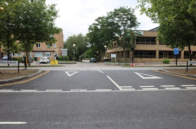
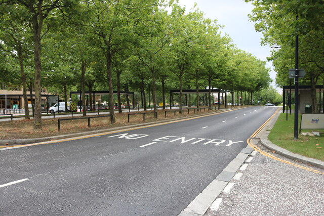
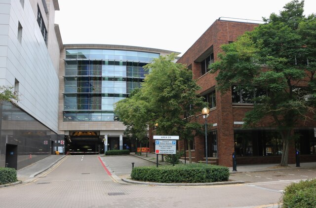
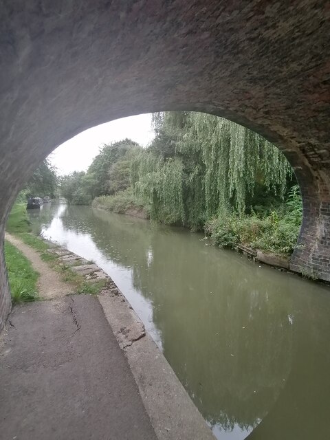
Leadenhall Images
Images are sourced within 2km of 52.028574/-0.74313833 or Grid Reference SP8637. Thanks to Geograph Open Source API. All images are credited.


Leadenhall is located at Grid Ref: SP8637 (Lat: 52.028574, Lng: -0.74313833)
Unitary Authority: Milton Keynes
Police Authority: Thames Valley
What 3 Words
///zooms.translated.pill. Near Milton Keynes, Buckinghamshire
Nearby Locations
Related Wikis
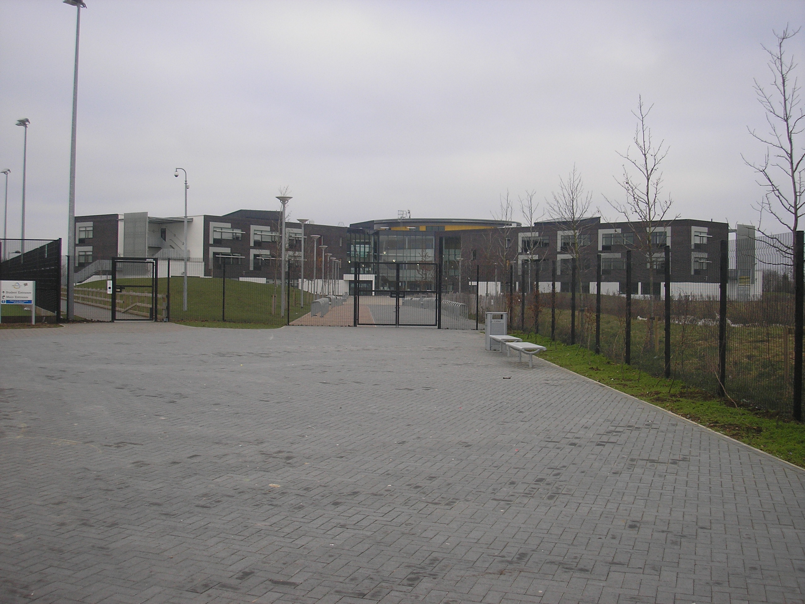
Milton Keynes Academy
Milton Keynes Academy (formerly known as the Sir Frank Markham Community School), is a secondary school in Leadenhall, Milton Keynes, United Kingdom....

Woughton (parish)
Woughton ( WUUF-tən) is a civil parish in south central Milton Keynes, Buckinghamshire, England. The parish council uses the term Community Council.The...

Milton Keynes University Hospital
Milton Keynes University Hospital is a district general hospital serving the City of Milton Keynes and the surrounding area of Buckinghamshire, Northamptonshire...

St Paul's Catholic School, Milton Keynes
St Paul's Catholic School is a comprehensive co-educational secondary school in Leadenhall, Milton Keynes, England. It has specialist science and language...
The Redway School, Milton Keynes
The Redway School is an all-age (2–19) state special school for children and young people who experience severe learning difficulties, serving the children...
Milton Keynes College
Milton Keynes College is a general further education and training college, serving the City of Milton Keynes. It also serves the surrounding areas (northern...
Campbell Park (civil parish)
Campbell Park is a civil parish in Milton Keynes, Buckinghamshire, England. The parish is bounded by Childs Way (H6) to the north, the River Ouzel to the...
Old Woughton
Old Woughton ( WUUF-tən) is a district and civil parish in south central Milton Keynes, Buckinghamshire, England. The parish was established in April 2012...
Nearby Amenities
Located within 500m of 52.028574,-0.74313833Have you been to Leadenhall?
Leave your review of Leadenhall below (or comments, questions and feedback).