Lea Green

Settlement in Cheshire

England

Lea Green

Minshull Hill Bridge Grade II listed. Listing number 1138693. Canal bridge circa 1830. A highway bridge over the Middlewich spur of the Shropshire Union Canal which links the Trent and Mersey Canal at Middlewich with the Shropshire Union Canal at Barbridge. Skew arched soffite, in English Bond, of hard burnt mainly blue bricks rising from level brick base 3'0" high. Stone band at carriageway level and stone coping on parapet of English Garden Wall Bond which has curves of slight radius towards end piers.
Minshull Hill Bridge Credit: Andrew Abbott

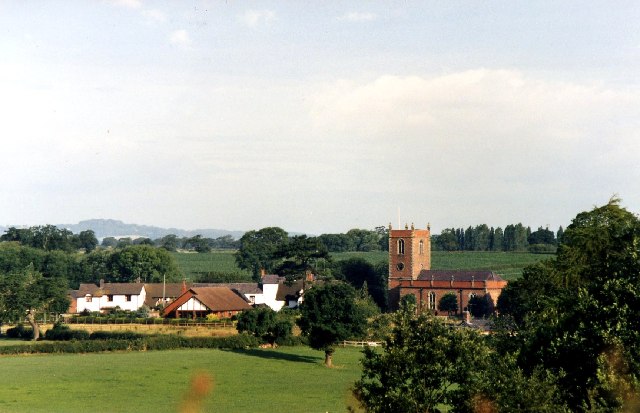
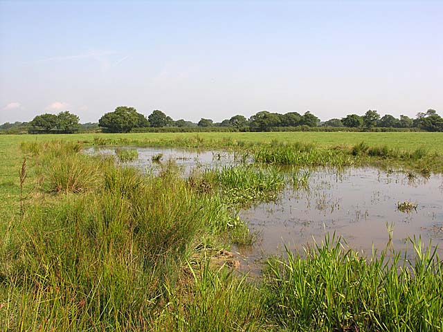
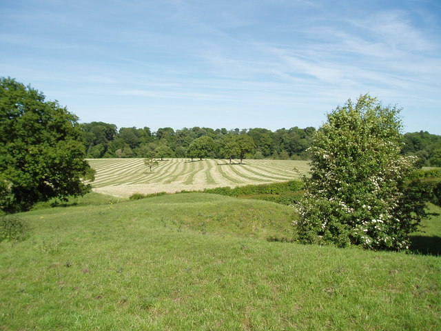
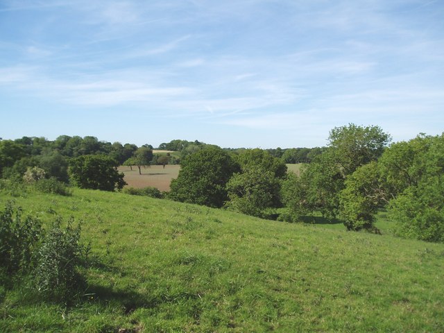
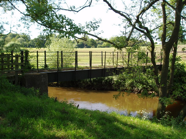
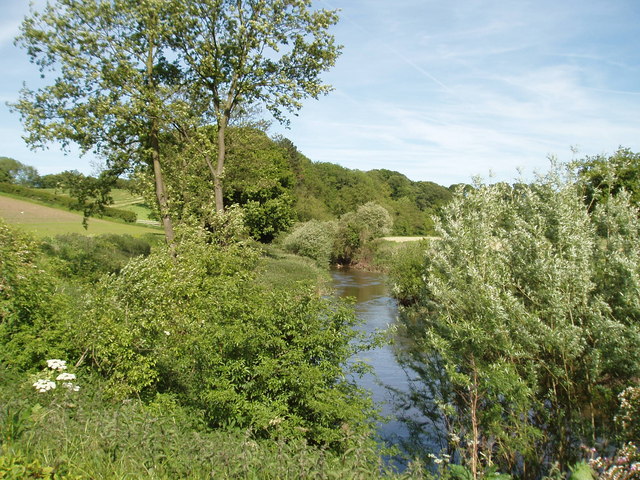
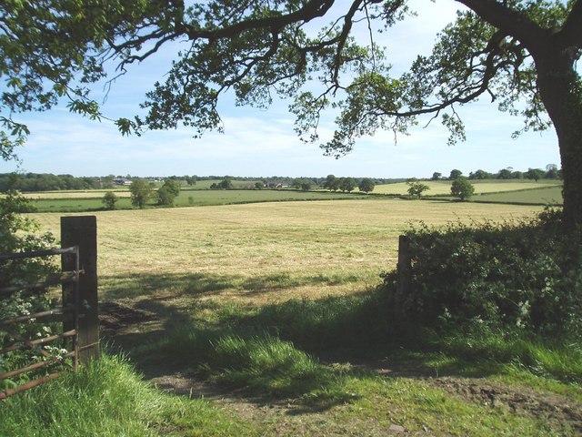
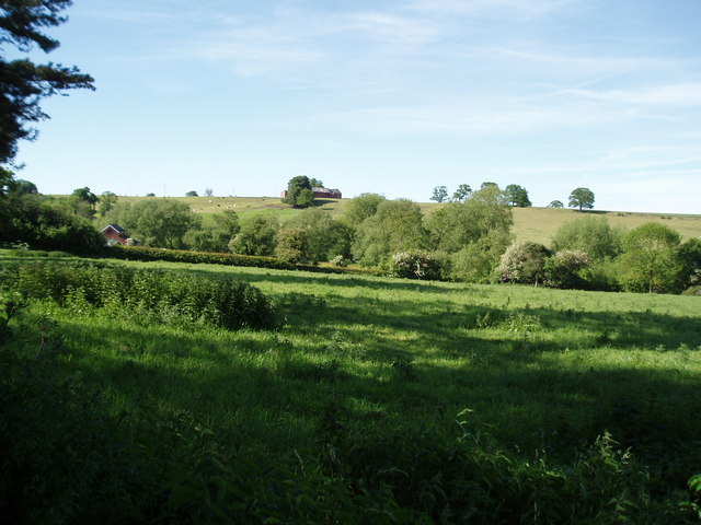
Lea Green is a small village located in the county of Cheshire, England. It is situated near the town of Widnes and is part of the borough of Halton. The village is known for its picturesque countryside, with rolling green hills and meandering streams.

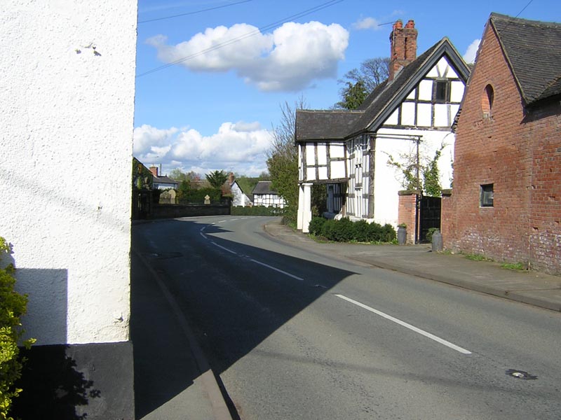
Lea Green is a primarily residential area, with a mix of traditional cottages and modern housing developments. The village has a close-knit community, with a local pub, church, and village hall serving as central meeting points for residents.

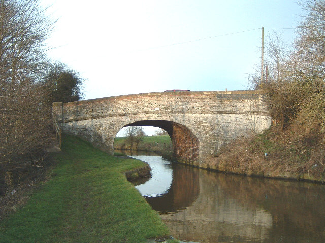
The village is well-connected to surrounding areas, with easy access to major roadways such as the M62 and M56. Nearby attractions include the historic Norton Priory Museum and Gardens, as well as the popular shopping destination of Cheshire Oaks Designer Outlet.

Lea Green offers a peaceful and tranquil setting for those looking to escape the hustle and bustle of city life, while still being within easy reach of urban amenities. The village is a charming and welcoming place to live or visit, with plenty of opportunities for outdoor activities and exploration in the surrounding countryside.

If you have any feedback on the listing, please let us know in the comments section below.
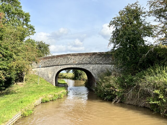
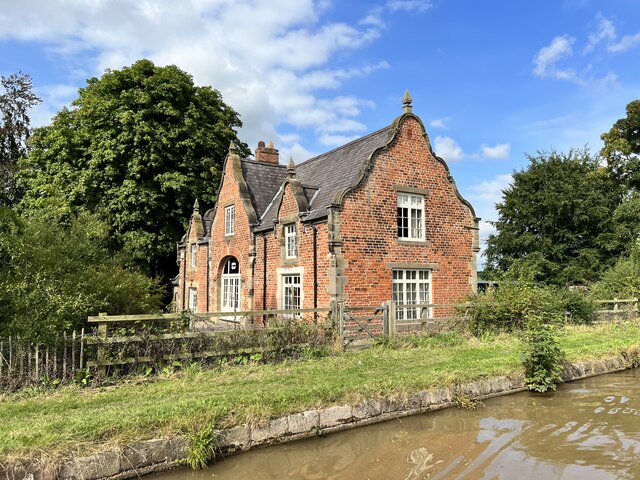
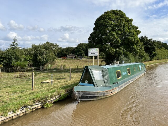
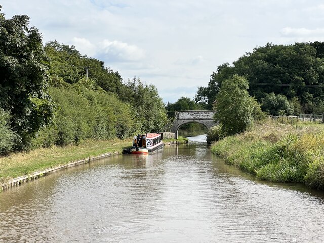
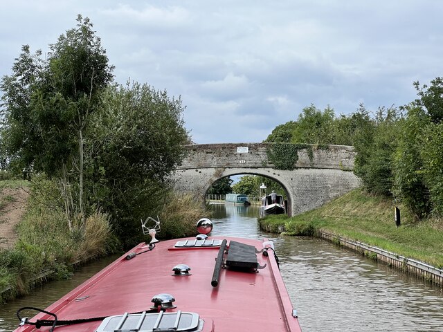
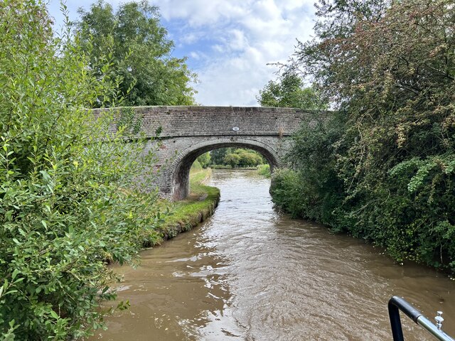
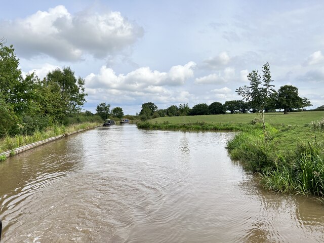
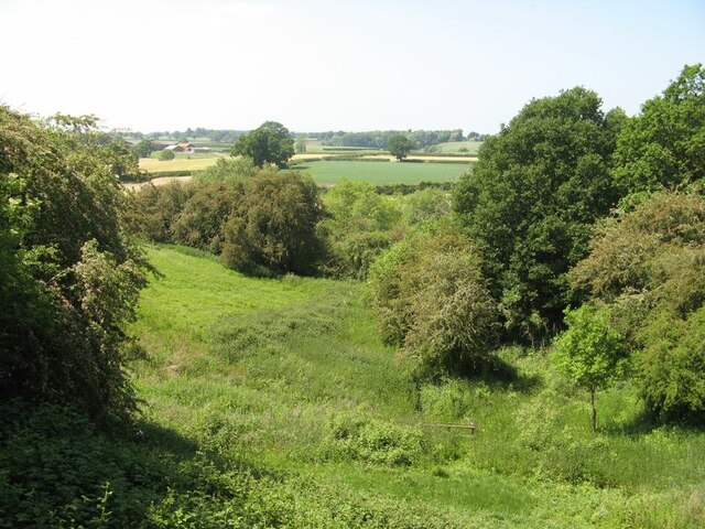
Lea Green Images

Images are sourced within 2km of 53.152955/-2.5112742 or Grid Reference SJ6561. Thanks to Geograph Open Source API. All images are credited.

Minshull Hill Bridge Grade II listed. Listing number 1138693. Canal bridge circa 1830. A highway bridge over the Middlewich spur of the Shropshire Union Canal which links the Trent and Mersey Canal at Middlewich with the Shropshire Union Canal at Barbridge. Skew arched soffite, in English Bond, of hard burnt mainly blue bricks rising from level brick base 3'0" high. Stone band at carriageway level and stone coping on parapet of English Garden Wall Bond which has curves of slight radius towards end piers.
Minshull Hill Bridge
Grade II listed. Listing number 1138693. Canal bridge circa 1830. A highway bridge over the Middlewich spur of the Shropshire Union Canal which links the Trent and Mersey Canal at Middlewich with the Shropshire Union Canal at Barbridge. Skew arched soffite, in English Bond, of hard burnt mainly blue bricks rising from level brick base 3'0" high. Stone band at carriageway level and stone coping on parapet of English Garden Wall Bond which has curves of slight radius towards end piers.
The Wharf, Church Minshull Grade II listed. Listing number 1310901. Former canal warehouse and cottage circa.1830 said to be by Thomas Telford, now a dwelling. Red brick with slate roof in late C17 style, 2 storeys 3 bays. Large carriageway arch in forward projecting bay with stone dressing up to moulded springers and brick arch with keystone. This is flanked west by a french window and east by a casement. Stone dressing to quoins and window openings. Central first floor casement has sill at eaves level and is wholly in a large shaped gable, flanking windows are higher but in smaller shaped gables. The east and west main gables are also shaped. The building has its east gable only a few feet from the tow path of the Middlewich spur of Shropshire Union Canal.
The Wharf, Church Minshull
Grade II listed. Listing number 1310901. Former canal warehouse and cottage circa.1830 said to be by Thomas Telford, now a dwelling. Red brick with slate roof in late C17 style, 2 storeys 3 bays. Large carriageway arch in forward projecting bay with stone dressing up to moulded springers and brick arch with keystone. This is flanked west by a french window and east by a casement. Stone dressing to quoins and window openings. Central first floor casement has sill at eaves level and is wholly in a large shaped gable, flanking windows are higher but in smaller shaped gables. The east and west main gables are also shaped. The building has its east gable only a few feet from the tow path of the Middlewich spur of Shropshire Union Canal.
Middlewich Branch Near Higher Elms Farm.
Middlewich Branch
Near Higher Elms Farm.
Middlewich Branch Near Higher Elms Farm.
Middlewich Branch
Near Higher Elms Farm.
Bridge 15 on the Middlewich Branch Near Higher Elms Farm.
Bridge 15 on the Middlewich Branch
Near Higher Elms Farm.
Hollingshead Bridge Grade II listed. Listing number 1320249. Accommodation bridge. 1827-33. Telford design. Skew built. Washed brick with stone band and copings. Single-basket arch with saw-toothed arch ring, solid parapet and piers. Towpath retaining wall with stone coping.
Hollingshead Bridge
Grade II listed. Listing number 1320249. Accommodation bridge. 1827-33. Telford design. Skew built. Washed brick with stone band and copings. Single-basket arch with saw-toothed arch ring, solid parapet and piers. Towpath retaining wall with stone coping.
Polestead Wood Winding Hole On the Middlewich Branch.
Polestead Wood Winding Hole
On the Middlewich Branch.
Weaver valley The River Weaver is not far away here as it meanders towards the line of the canal. The valley side is quite steep and densely vegetated.
Weaver valley
The River Weaver is not far away here as it meanders towards the line of the canal. The valley side is quite steep and densely vegetated.
Church Minshull village from the Shropshire Union Middlewich Branch Canal Great canalling holiday from Middlewich to Llangollen!
Church Minshull village from the Shropshire Union Middlewich Branch Canal
Great canalling holiday from Middlewich to Llangollen!
Marlpit at Paradise Farm Typical mid-Cheshire pond which supports a wide variety of wildlife.
Marlpit at Paradise Farm
Typical mid-Cheshire pond which supports a wide variety of wildlife.
Minshullhill Bridge (14) - Shropshire Union canal Also known as Minshull Hill Bridge. 
Church Minshull Village centre is a quarter mile down the road photo left.
Minshullhill Bridge (14) - Shropshire Union canal
Also known as Minshull Hill Bridge. Church Minshull Village centre is a quarter mile down the road photo left.
Freshly mown grass Looking across farmland in Cheshire! In the distance is Boundary Wood, and just in front of the wood is the River Weaver.
Freshly mown grass
Looking across farmland in Cheshire! In the distance is Boundary Wood, and just in front of the wood is the River Weaver.
Beautiful  Cheshire! Another view (from the same viewpoint as other photo) across the river Weaver valley.
Beautiful Cheshire!
Another view (from the same viewpoint as other photo) across the river Weaver valley.
Foot bridge over the River Weaver This footbridge carries a public footpath which runs round the back of Boundary Wood and on to Wimboldsley Hall, ending at the A530.
Foot bridge over the River Weaver
This footbridge carries a public footpath which runs round the back of Boundary Wood and on to Wimboldsley Hall, ending at the A530.
Footpath alongside the River Weaver
Cheshire countryside Taken from lane near to Lea Green Villa Farm, with 'Higher Elms' in distance (left) and 'Lower Elms' (right).
Cheshire countryside
Taken from lane near to Lea Green Villa Farm, with 'Higher Elms' in distance (left) and 'Lower Elms' (right).
Valley of the Ash Brook The Ash Brook is a tributary of the river Weaver. Weaver Park Farm is just visible on the top of the hill.
Valley of the Ash Brook
The Ash Brook is a tributary of the river Weaver. Weaver Park Farm is just visible on the top of the hill.
Microwave Dish, Darnhall This small radio telescope forms part of the Jodrell Bank complex.
Microwave Dish, Darnhall
This small radio telescope forms part of the Jodrell Bank complex.
Show me another place!

Lea Green is located at Grid Ref: SJ6561 (Lat: 53.152955, Lng: -2.5112742)

Unitary Authority: Cheshire East

Police Authority: Cheshire

What 3 Words

///curated.lakes.conjured. Near Over, Cheshire

Nearby Locations

Lea Green

Related Wikis

St Bartholomew's Church, Church Minshull

St Bartholomew's Church is in the village of Church Minshull, Cheshire, England. It is recorded in the National Heritage List for England as a designated...

Church Minshull

Church Minshull is a village and civil parish in the unitary authority of Cheshire East and the ceremonial county of Cheshire, England. The village is...

Minshull Vernon United Reformed Church

Minshull Vernon United Reformed Church is on Cross Lane, Minshull Vernon, Cheshire, England. It is recorded in the National Heritage List for England as...

Weaver Hall, Darnhall

Weaver Hall is an English country house in the parish of Darnhall, Cheshire. It was built in the early 17th century, largely rebuilt in the early 18th...

Related Videos

Nantwich's Aqueduct Marina Caravan Park In Cheshire

Aqueduct Marina & Caravan Park Stopped here 24th & 25th Nov on a mini break, it was close to a Christening we were going to ...

Four County’s Ring

Canal Adventures.

Home Farm Park. Residential living

Brand new 2022 model. Omar Regency 40 x 20 2 bedrooms.

Winsford Flashes 23rd October with Andy

Andy Wright FRGS and me paddling on the Winsford flashes in Cheshire.

Nearby Amenities

Located within 500m of 53.152955,-2.5112742
Bus Stop
Church Minshull, Over Road / Mobile Home Park
Bus: yes
Naptan AtcoCode: 0600CR399
Naptan Bearing: SE
Naptan CommonName: Mobile Home Park
Naptan Indicator: o/s
Naptan Landmark: Delamere Car Sales
Naptan LocalityName: Church Minshull
Naptan NaptanCode: cheamdw
Naptan ShortCommonName: Mobile Home Park
Naptan Street: Over Road
Naptan Verified: no
Network: Cheshire East Council
Operator: Ansa Transport
Public Transport: platform
Source: naptan_import
Lat/Long: 53.152853/-2.5108941
Bus Stop
Church Minshull, Over Road / Mobile Home Park
Bus: yes
Naptan AtcoCode: 0600CR400
Naptan Bearing: NW
Naptan CommonName: Mobile Home Park
Naptan Indicator: opp
Naptan Landmark: Mobile Home Park
Naptan LocalityName: Church Minshull
Naptan NaptanCode: cheamga
Naptan ShortCommonName: Mobile Home Park
Naptan Street: Over Road
Naptan Verified: no
Network: Cheshire East Council
Operator: Ansa Transport
Public Transport: platform
Source: naptan_import
Lat/Long: 53.153036/-2.511619
Lee Green Hall
Building: farm
Lat/Long: 53.1549771/-2.5050904
Turning Loop
Lat/Long: 53.1506069/-2.5058806
The data included in this document is from www.openstreetmap.org. The data is made available under ODbL.

Have you been to Lea Green?

Leave your review of Lea Green below (or comments, questions and feedback).