Leachachan

Settlement in Ross-shire

Scotland

Leachachan

A87 near Inverinate
A87 near Inverinate Credit: Steven Brown

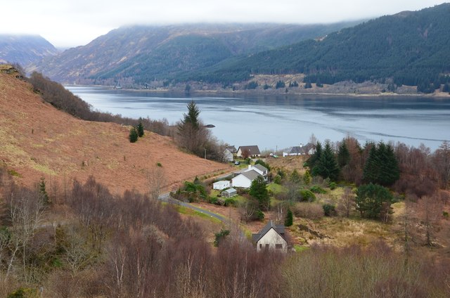
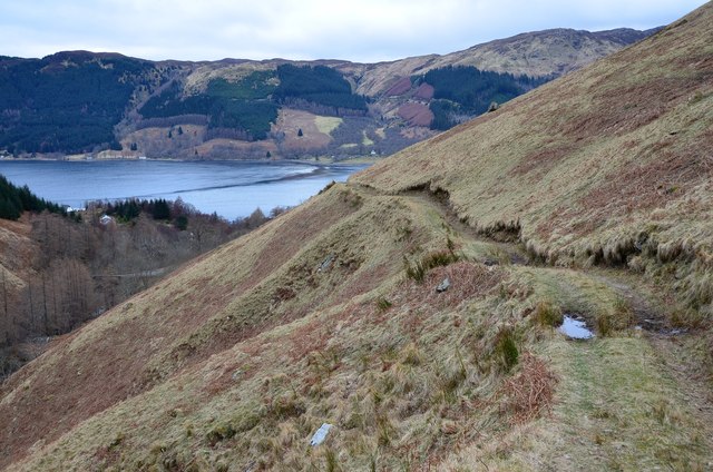
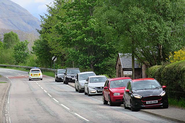
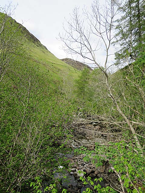
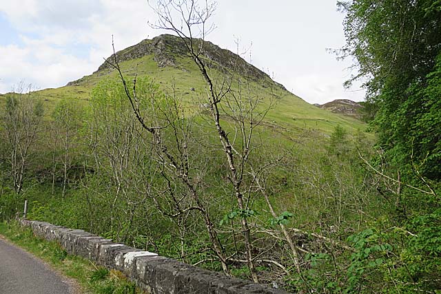
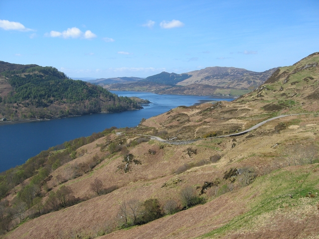
Leachachan is a small village located in Ross-shire, Scotland. Situated amidst the stunning Highland scenery, Leachachan is known for its picturesque views of rolling hills, lush greenery, and tranquil lochs. The village is surrounded by numerous walking and hiking trails, making it a popular destination for outdoor enthusiasts.

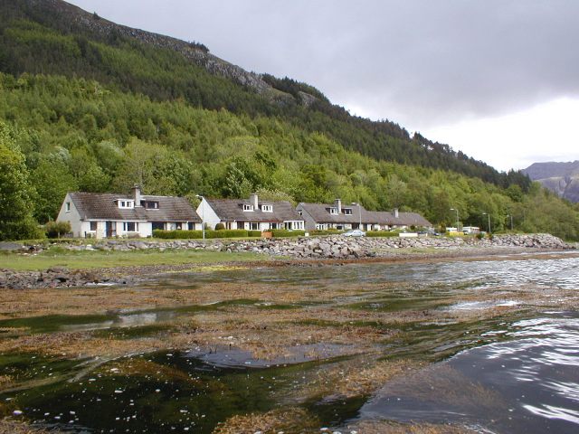
Leachachan is home to a small population of residents who enjoy a peaceful and close-knit community. The village has a few local amenities, including a small shop, a pub, and a primary school. The nearest larger town is Strathpeffer, which is about a 20-minute drive away.

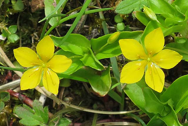
Visitors to Leachachan can explore the nearby attractions, such as the Rogie Falls, a series of impressive waterfalls located just a short drive from the village. The area is also known for its abundance of wildlife, including red deer, ospreys, and otters.

Overall, Leachachan offers a tranquil and scenic retreat for those looking to escape the hustle and bustle of city life and immerse themselves in the natural beauty of the Scottish Highlands.

If you have any feedback on the listing, please let us know in the comments section below.
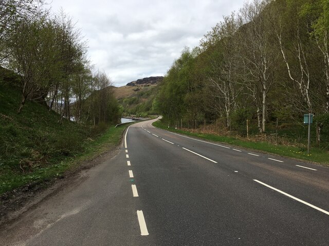
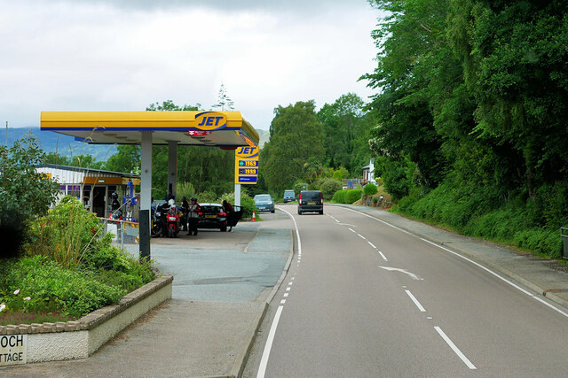
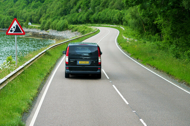
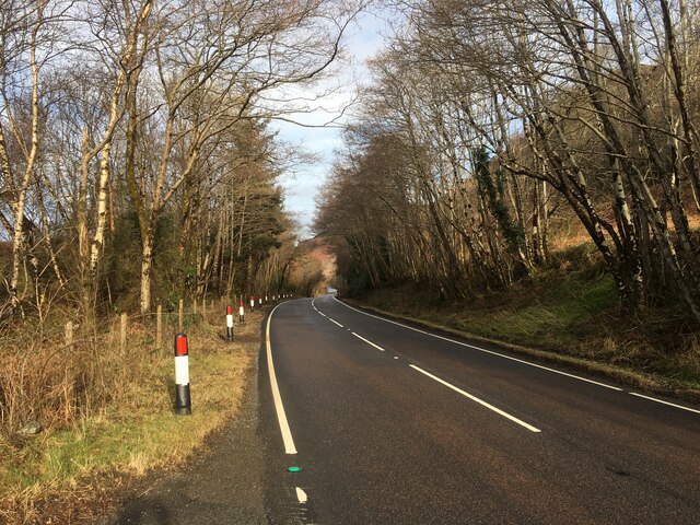
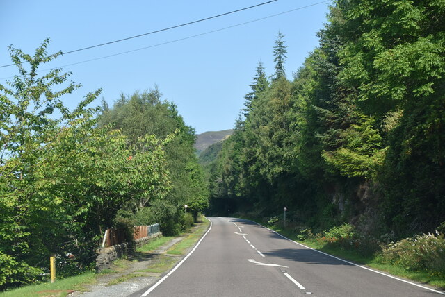
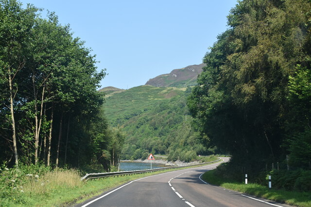
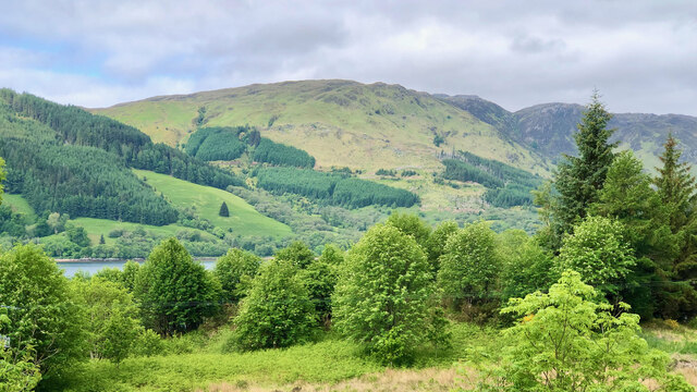
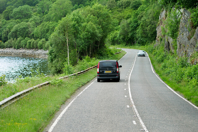
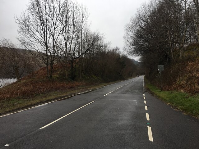
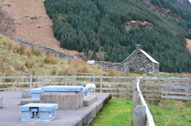
Leachachan Images

Images are sourced within 2km of 57.241917/-5.4880305 or Grid Reference NG8922. Thanks to Geograph Open Source API. All images are credited.

A87 near Inverinate
A87 near Inverinate
Inverinate Service Station The A87 is a primary route  in the Highland region of Scotland. It runs west for 99 miles from its junction with the A82 at Invergarry, along the north shores of Loch Garry and Loch Cluanie, then through Glen Shiel and along Loch Duich to Kyle of Lochalsh before crossing the Skye Bridge to Kyleakin, Broadford, and Portree, before terminating at Uig in the north of the Isle of Skye.
Inverinate Service Station
The A87 is a primary route in the Highland region of Scotland. It runs west for 99 miles from its junction with the A82 at Invergarry, along the north shores of Loch Garry and Loch Cluanie, then through Glen Shiel and along Loch Duich to Kyle of Lochalsh before crossing the Skye Bridge to Kyleakin, Broadford, and Portree, before terminating at Uig in the north of the Isle of Skye.
A87, Loch Duich
A87, Loch Duich
A87 along Loch Duich
A87 The A87 runs 99 miles from Invergarry to Uig on the Isle of Skye <a href="https://www.geograph.org.uk/photo/7374675">NG3863 : End of the A87, Uig</a>.
<span class="nowrap"><a title="https://www.sabre-roads.org.uk/wiki/index.php?title=A87" rel="nofollow ugc noopener" href="https://www.sabre-roads.org.uk/wiki/index.php?title=A87">Link</a><img style="margin-left:2px;" alt="External link" title="External link - shift click to open in new window" src="https://s1.geograph.org.uk/img/external.png" width="10" height="10"/></span>
A87
The A87 runs 99 miles from Invergarry to Uig on the Isle of Skye NG3863 : End of the A87, Uig. LinkExternal link
A87 by Loch Duich The A87 runs 99 miles from Invergarry to Uig on the Isle of Skye <a href="https://www.geograph.org.uk/photo/7374675">NG3863 : End of the A87, Uig</a>.
<span class="nowrap"><a title="https://www.sabre-roads.org.uk/wiki/index.php?title=A87" rel="nofollow ugc noopener" href="https://www.sabre-roads.org.uk/wiki/index.php?title=A87">Link</a><img style="margin-left:2px;" alt="External link" title="External link - shift click to open in new window" src="https://s1.geograph.org.uk/img/external.png" width="10" height="10"/></span>
A87 by Loch Duich
The A87 runs 99 miles from Invergarry to Uig on the Isle of Skye NG3863 : End of the A87, Uig. LinkExternal link
Bella Vista
Bella Vista
Westbound A87 alongside Loch Duich The A87 is a primary route  in the Highland region of Scotland. It runs west for 99 miles from its junction with the A82 at Invergarry, along the north shores of Loch Garry and Loch Cluanie, then through Glen Shiel and along Loch Duich to Kyle of Lochalsh before crossing the Skye Bridge to Kyleakin, Broadford, and Portree, before terminating at Uig in the north of the Isle of Skye.
Westbound A87 alongside Loch Duich
The A87 is a primary route in the Highland region of Scotland. It runs west for 99 miles from its junction with the A82 at Invergarry, along the north shores of Loch Garry and Loch Cluanie, then through Glen Shiel and along Loch Duich to Kyle of Lochalsh before crossing the Skye Bridge to Kyleakin, Broadford, and Portree, before terminating at Uig in the north of the Isle of Skye.
A87 towards Dornie
A87 towards Dornie
Water treatment installation A water treatment plant near the An Leth-allt, maybe as the supply for houses below on the minor road over Carr Brae.
Water treatment installation
A water treatment plant near the An Leth-allt, maybe as the supply for houses below on the minor road over Carr Brae.
Houses above Loch Duich Houses by the minor road from Inverinate to Dornie.
Houses above Loch Duich
Houses by the minor road from Inverinate to Dornie.
Loch Duich in view On the path heading down to the minor road from Dornie via Carr Brae.
Loch Duich in view
On the path heading down to the minor road from Dornie via Carr Brae.
Waiting for the Convoy The police car was one of three instructing motorists to get off the road to make way for an approaching eastbound wide load, bringing all westbound traffic to a complete standstill.
Waiting for the Convoy
The police car was one of three instructing motorists to get off the road to make way for an approaching eastbound wide load, bringing all westbound traffic to a complete standstill.
Inverinate Filling Station The filling station is about to disappear from view behind the first of a convoy of three enormous vehicles transporting wind turbine blades east from the dock at Kyle of Lochalsh.
Inverinate Filling Station
The filling station is about to disappear from view behind the first of a convoy of three enormous vehicles transporting wind turbine blades east from the dock at Kyle of Lochalsh.
Heavy Transport This is the second, and behind it the third, of a convoy moving three wind turbine blades eastwards from Kyle of Lochalsh. I was extremely thankful that I was travelling westbound!

This is the same convoy shortly afterwards near the Cluanie Dam <a href="https://www.geograph.org.uk/photo/5406196">NH1810 : Wind turbine delivery</a>.
Heavy Transport
This is the second, and behind it the third, of a convoy moving three wind turbine blades eastwards from Kyle of Lochalsh. I was extremely thankful that I was travelling westbound! This is the same convoy shortly afterwards near the Cluanie Dam NH1810 : Wind turbine delivery.
An Leth-Allt Looking upriver from the road bridge, with Creag a' Ghleadhair on the left. I think this means 'the rock of the noisy blow' but I don't know whether this refers to wind or someone hitting someone else, and if so why. The summit of Boc Mòr (631 metres) is just visible on the skyline.
An Leth-Allt
Looking upriver from the road bridge, with Creag a' Ghleadhair on the left. I think this means 'the rock of the noisy blow' but I don't know whether this refers to wind or someone hitting someone else, and if so why. The summit of Boc Mòr (631 metres) is just visible on the skyline.
Creag a' Ghleadhair The view from the road bridge over An Leth-Allt. I think the name means 'the rock of the noisy blow' but I don't know whether this refers to wind or someone hitting someone else, and if so why.
Creag a' Ghleadhair
The view from the road bridge over An Leth-Allt. I think the name means 'the rock of the noisy blow' but I don't know whether this refers to wind or someone hitting someone else, and if so why.
Yellow Pimpernel (Lysimachia nemorum) This low creeping plant is much more common in this part of the world than its better known cousin Scarlet Pimpernel, which prefers drier or better-drained soils.
Yellow Pimpernel (Lysimachia nemorum)
This low creeping plant is much more common in this part of the world than its better known cousin Scarlet Pimpernel, which prefers drier or better-drained soils.
Show me another place!

Leachachan is located at Grid Ref: NG8922 (Lat: 57.241917, Lng: -5.4880305)

Unitary Authority: Highland

Police Authority: Highlands and Islands

What 3 Words

///haggle.prancing.bandage. Near Glenelg, Highland

Nearby Locations

Leachachan

Related Wikis

Loch Duich

Loch Duich (Scottish Gaelic: "Loch Dubhthaich") is a sea loch situated on the western coast of Scotland, in the Highlands. == History == In 1719, British...

Inverinate

Inverinate (Scottish Gaelic: Inbhir Ìonaid) is a small linear village on the north shore of Loch Duich in Lochalsh, Scottish Highlands and is in the Scottish...

Letterfearn

Letterfearn (Scottish Gaelic: Leitir Fheàrna) is a settlement that lies of the western shore of Loch Duich in Skye and Lochalsh, Highlands of Scotland...

Ratagan

Ratagan (Ràtagan in Scottish Gaelic) is a small hamlet on the southwestern shore of the sea loch, Loch Duich in Lochalsh, Scottish Highlands and is in...

Nearby Amenities

Located within 500m of 57.241917,-5.4880305
Source: PGS
Lat/Long: 57.2405193/-5.4855
Source: PGS
Lat/Long: 57.2407699/-5.4856425
Source: PGS
Lat/Long: 57.2410742/-5.486362
Source: PGS
Lat/Long: 57.2413242/-5.486602
Source: PGS
Lat/Long: 57.2415018/-5.4867577
Source: PGS
Lat/Long: 57.2417133/-5.487256
Source: PGS
Lat/Long: 57.242313/-5.488217
Source: PGS
Lat/Long: 57.242633/-5.4879482
Source: PGS
Lat/Long: 57.2427476/-5.4880538
Source: PGS
Lat/Long: 57.2429794/-5.4885987
Source: PGS
Lat/Long: 57.2433787/-5.4889156
Source: PGS
Lat/Long: 57.2436819/-5.4896396
Source: PGS
Lat/Long: 57.2437235/-5.4899781
Created By: almien_coastlines
Source: PGS
Lat/Long: 57.244099/-5.49066
Source: PGS
Lat/Long: 57.2442867/-5.4910571
Source: PGS
Lat/Long: 57.2444844/-5.4915893
Source: PGS
Lat/Long: 57.2451158/-5.4919658
Source: PGS
Lat/Long: 57.2456012/-5.4923848
Passing Place
Lat/Long: 57.2406605/-5.4860494
The data included in this document is from www.openstreetmap.org. The data is made available under ODbL.

Have you been to Leachachan?

Leave your review of Leachachan below (or comments, questions and feedback).