Langton Matravers

Settlement in Dorset

England

Langton Matravers

Path coming out on to High Street Path beside churchyard coming out on to High Street
Path coming out on to High Street Credit: Shaun Ferguson

Langton Matravers is a picturesque village located in the county of Dorset, England. It is situated on the Isle of Purbeck, just a few miles away from the popular coastal town of Swanage. With a population of around 1,000 residents, Langton Matravers offers a peaceful and charming atmosphere.

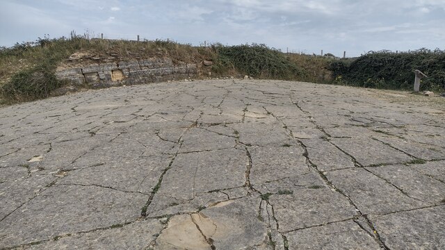
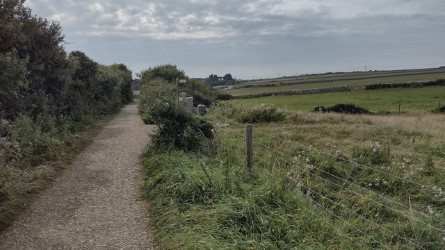
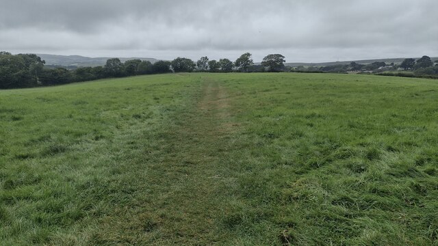
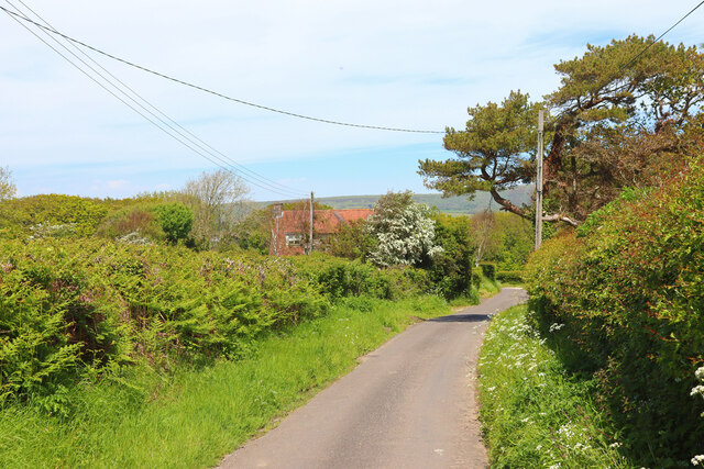
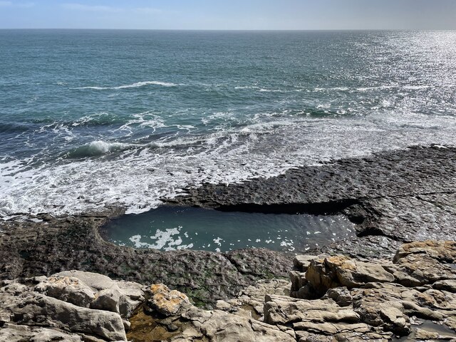
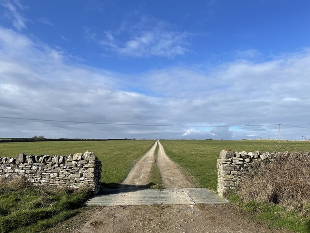
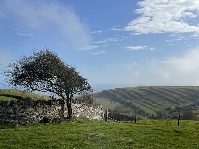
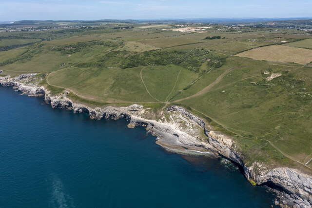
The village is known for its stunning natural beauty, surrounded by rolling hills and countryside. It is a popular destination for nature lovers and outdoor enthusiasts, with numerous walking trails and scenic viewpoints to explore. One of the most famous landmarks in the area is Dancing Ledge, a former quarry that has now become a popular spot for rock climbing and swimming.

Langton Matravers is also home to various historical sites, including St. George's Church, which dates back to the 12th century and features beautiful stained glass windows. The village has a strong sense of community, with a village hall hosting various events and activities throughout the year, including a popular annual carnival.

While Langton Matravers is a small village, it offers a range of amenities for residents and visitors. There is a local shop and post office, as well as a pub and a tea room, providing a welcoming place for people to socialize and enjoy local produce.

In summary, Langton Matravers is a charming village in Dorset, renowned for its natural beauty, historical sites, and strong community spirit. It is a hidden gem for those seeking a peaceful retreat in the heart of the English countryside.

If you have any feedback on the listing, please let us know in the comments section below.

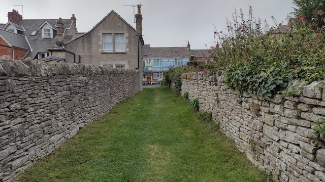
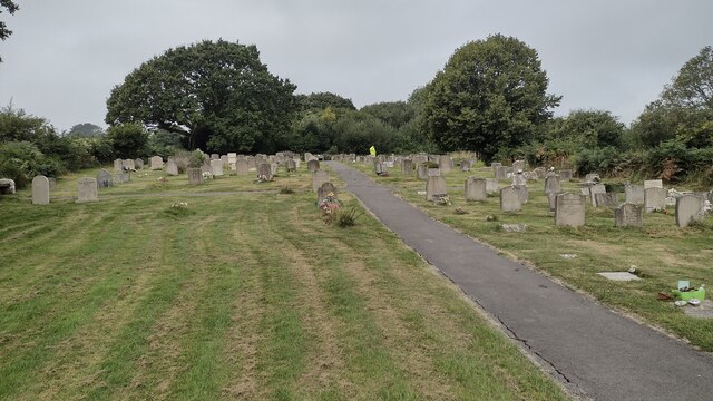
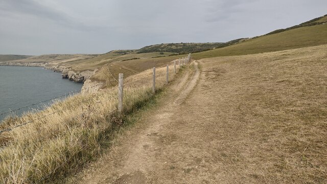
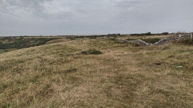
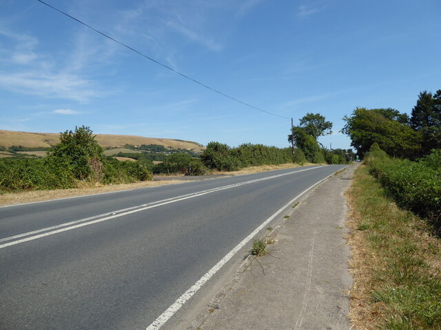
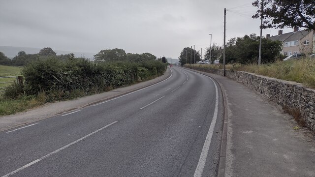
Langton Matravers Images

Images are sourced within 2km of 50.609293/-2.0047241 or Grid Reference SY9978. Thanks to Geograph Open Source API. All images are credited.

Path coming out on to High Street Path beside churchyard coming out on to High Street
Path coming out on to High Street
Path beside churchyard coming out on to High Street
Crack Lane Cemetery Crack Lane Cemetery outside of Langton Matravers
Crack Lane Cemetery
Crack Lane Cemetery outside of Langton Matravers
South West Coast Path South West Coast Path nearing Dancing Ledge
South West Coast Path
South West Coast Path nearing Dancing Ledge
Path following the Wall Path following the wall above Dancing Ledge
Path following the Wall
Path following the wall above Dancing Ledge
Keates Quarry Keates Quarry dinosaur footprints
Keates Quarry
Keates Quarry dinosaur footprints
Priest's Way Priest's Way passing the entrance to Keates Quarry dinosaur footprints
Priest's Way
Priest's Way passing the entrance to Keates Quarry dinosaur footprints
Path heading towards Woodhyde Campsite From Haycrafts Lane the path heading towards Woodhyde Campsite
Path heading towards Woodhyde Campsite
From Haycrafts Lane the path heading towards Woodhyde Campsite
Haycraft's Lane Minor road near Harman's Cross.
Haycraft's Lane
Minor road near Harman's Cross.
Level Crossing Steam train near Harman's Cross.
Level Crossing
Steam train near Harman's Cross.
Level crossing, Quarr Farm
The pool at Dancing Ledge Blasted out of the rock after WW1 for local schoolchildren, the natural swimming pool fills at high tide.
The pool at Dancing Ledge
Blasted out of the rock after WW1 for local schoolchildren, the natural swimming pool fills at high tide.
Track off the Priest's Way
Seacombe Bottom A view down to the sea, showing the strip lynchets on the far side of the hill.
Seacombe Bottom
A view down to the sea, showing the strip lynchets on the far side of the hill.
Dancing Ledge
Dancing Ledge
The double track at Harman's Cross Station From Haycrafts Lane bridge looking to the double track at Harman's Cross Station
The double track at Harman's Cross Station
From Haycrafts Lane bridge looking to the double track at Harman's Cross Station
Swanage Railway - Harman's Cross Station  On this preserved railway. Very nicely presented but on this occasion the lighting was tricky.
Swanage Railway - Harman's Cross Station
On this preserved railway. Very nicely presented but on this occasion the lighting was tricky.
Main road to Swanage at Instow
High Street High Street A351 heading into Swanage
High Street
High Street A351 heading into Swanage
Show me another place!

Langton Matravers is located at Grid Ref: SY9978 (Lat: 50.609293, Lng: -2.0047241)

Unitary Authority: Dorset

Police Authority: Dorset

What 3 Words

///hiked.mondays.sang. Near Swanage, Dorset

Related Wikis

Langton Matravers

Langton Matravers () is a village and civil parish on the Isle of Purbeck, in the county of Dorset in the south of England. It is situated about 2 miles...

The Old Malthouse School

The Old Malthouse School (The OMH) was a preparatory school in the village of Langton Matravers near Swanage in the Isle of Purbeck, Dorset, United Kingdom...

Durnford School

Durnford School was an English preparatory school for boys which opened in 1894 on the Isle of Purbeck in Dorset. The school occupied Durnford House, in...
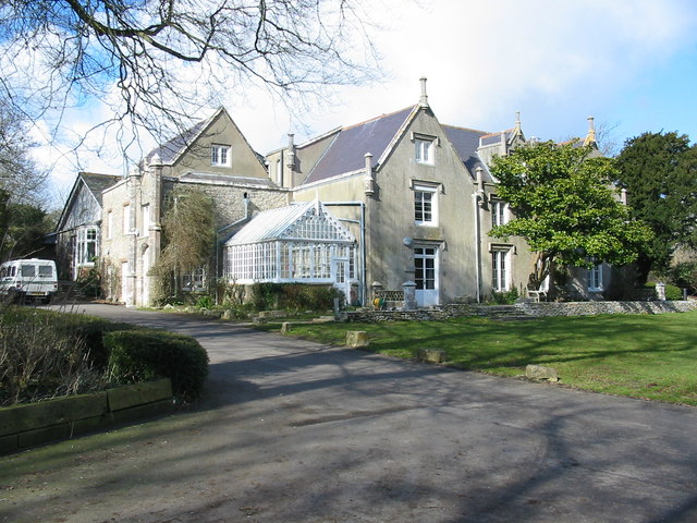
Leeson House

Leeson House is a field studies centre in the village of Langton Matravers in the heart of the Isle of Purbeck, Dorset, England. The Isle of Purbeck forms...

Acton, Dorset

Acton is a hamlet in the parish of Langton Matravers, on the Isle of Purbeck, in the county of Dorset in the south of England. The hamlet of Acton was...

Priest's Way

The Priest's Way is the historical route taken by clergy from St Nicholas's, Worth Matravers to St Mary's Church, Swanage in the Isle of Purbeck in Dorset...

Spyway

Spyway is an isolated property in the parish of Worth Matravers in Dorset and is owned by the National Trust. It is located on the route of the Priest...
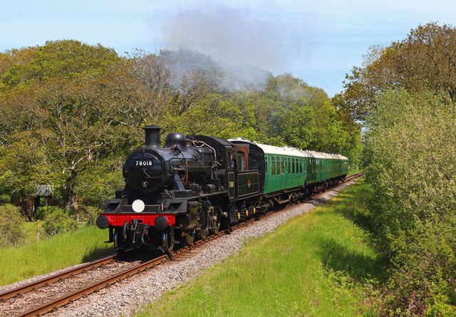
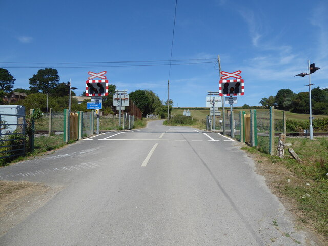
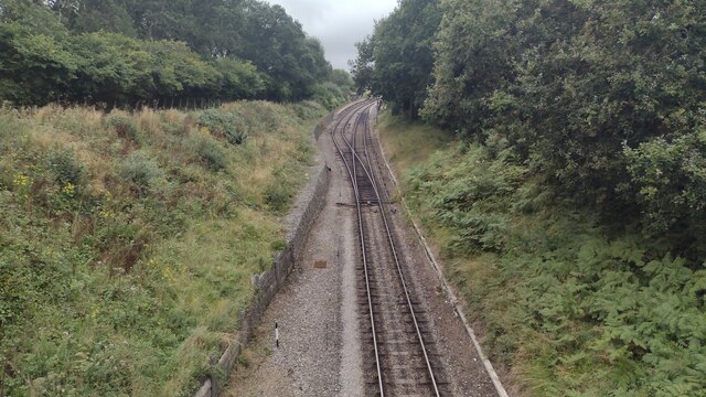
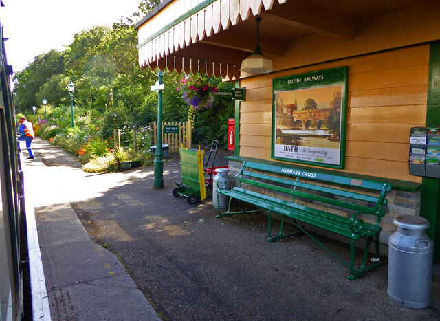
Swanage Railway

The Swanage Railway is a railway branch line from near Wareham, Dorset to Swanage, Dorset, England, opened in 1885 and now operated as a heritage railway...

Nearby Amenities

Located within 500m of 50.609293,-2.0047241
Langton Matravers
Is In: Dorset, England, UK
Place: village
Source: npe
Lat/Long: 50.6099559/-2.0004999
Turning Circle
Lat/Long: 50.6074782/-2.0048427
Turning Circle
Source: bing
Lat/Long: 50.6100406/-2.0034477
Langton Matravers Museum of the Stone Industry
Addr City: Swanage
Addr Postcode: BH19 3HZ
Addr Street: Saint George's Close
Fee: yes
Fee Conditional: no @ (age < 10)
Opening Hours: Apr 01-Sep 30 Mo-Sa 10:00-12:00,14:00-16:00
Tourism: museum
Website: https://www.dorsetmuseums.co.uk/langton-matravers-museum
Wikidata: Q113369844
Lat/Long: 50.610026/-2.0033197
Material: wood
Power: pole
Ref: 56904038
Source: survey
Source Ref: survey
Lat/Long: 50.6081748/-2.0005495
Material: wood
Power: pole
Source: bing
Lat/Long: 50.6094666/-2.0001065
Material: wood
Power: pole
Source: bing
Lat/Long: 50.6050646/-2.0055007
Material: wood
Power: pole
Source: bing
Lat/Long: 50.6056528/-2.0057992
Material: wood
Power: pole
Source: bing
Lat/Long: 50.6063647/-2.0061538
Material: wood
Power: pole
Ref: 56904053;1
Source: GPS+GLONASS
Lat/Long: 50.6068536/-2.0098774
Material: wood
Power: pole
Source: bing
Lat/Long: 50.6069413/-2.0064541
Material: wood
Power: pole
Source: bing
Lat/Long: 50.6072788/-2.0103941
Capstan Field
Material: wood
Note: Names "CAPTAN FIELD" and "CAPSTAN FIELD" are both on the pole, with an A not an O.
Power: pole
Ref: 56904055;3
Source: bing
Source Ref: survey
Transformer: distribution
Voltage Primary: 11000
Voltage Secondary: 400
Voltage Tertiary: 230
Lat/Long: 50.6077937/-2.0109768
Fire Hydrant
Emergency: fire_hydrant
Fire Hydrant Diameter: 100
Fire Hydrant Type: underground
Ref: 649
Source: GPS
Lat/Long: 50.6087201/-2.0074687
Fire Hydrant
Emergency: fire_hydrant
Fire Hydrant Diameter: 3 inch
Fire Hydrant Type: underground
Ref: 8401
Source: GPS
Lat/Long: 50.608828/-2.0046196
Fire Hydrant
Emergency: fire_hydrant
Fire Hydrant Diameter: 3 inch
Fire Hydrant Type: underground
Ref: 5233
Source: GPS
Lat/Long: 50.6091223/-2.0037461
Fire Hydrant
Emergency: fire_hydrant
Fire Hydrant Type: underground
Source: GPS
Lat/Long: 50.6091966/-2.00235
Telephone
Booth: K6
Covered: booth
Operator: BT
Payment Coins: yes
Phone: +44 1929 422225
Source: GPS
Lat/Long: 50.6096016/-2.0019783
Fire Hydrant
Emergency: fire_hydrant
Fire Hydrant Diameter: 100
Fire Hydrant Type: underground
Ref: 2785
Source: GPS
Lat/Long: 50.6097622/-2.0013467
Material: wood
Power: pole
Ref: 245;816028
Source: GPS+GLONASS
Lat/Long: 50.6104566/-2.0076401
Material: wood
Power: pole
Ref: 816031
Source: GPS+GLONASS
Source Ref: survey
Lat/Long: 50.6105062/-2.0070144
Barrier: stile
Source: GPS
Lat/Long: 50.6114705/-2.0080968
Barrier: gate;stile
Source: GPS
Lat/Long: 50.612996/-2.0082637
Man Made: surveillance
Surveillance: public
Surveillance Type: camera
Lat/Long: 50.6089339/-2.0073671
Fire Hydrant
Emergency: fire_hydrant
Fire Hydrant Diameter: 3 inch
Fire Hydrant Type: underground
Ref: 396
Source: GPS+GLONASS
Lat/Long: 50.609388/-2.003994
Bench
Source: survey
Lat/Long: 50.6095561/-2.0033388
Fire Hydrant
Emergency: fire_hydrant
Fixme: Is this a real fire hydrant?
Source: GPS+GLONASS
Lat/Long: 50.6102917/-2.0085083
Barrier: stile
Source: GPS+GLONASS
Lat/Long: 50.6103201/-2.0086008
Location: underground
Source: survey
Water: wash_out
Lat/Long: 50.6103755/-2.0085139
Barrier: stile
Source: GPS+GLONASS
Lat/Long: 50.6103888/-2.0079266
Barrier: stile
Source: survey
Lat/Long: 50.6106087/-2.0068795
Barrier: stile
Source: survey
Lat/Long: 50.6123862/-2.00678
Historic Highway: street_lamp
Note: Concrete street lapm column, still partially exists, cut short to fit in wall.
Source: GPS+GLONASS
Lat/Long: 50.6091515/-2.0046066
Fixme: Small water tap on a short pillar above a blocked drain. Looks abandoned.
Lat/Long: 50.609256/-2.0044207
Post Box
Brand: Royal Mail
Brand Wikidata: Q638098
Brand Wikipedia: en:Royal Mail
Collection Times: Mo-Fr 16:30; Sa 09:45
Operator: Royal Mail
Operator Wikidata: Q638098
Post Box Type: pillar
Ref: BH19 76
Ref GB Uprn: 10015477930
Royal Cypher: EIIR
Royal Cypher Wikidata: Q33102113
Source: GPS+GLONASS
Lat/Long: 50.6095203/-2.0023487
Historic: memorial
Source: survey
Lat/Long: 50.6095564/-2.0033954
Waste Basket
Source: survey
Waste: dog_excrement
Lat/Long: 50.6096579/-2.0024024
Man Made: surveillance
Surveillance: outdoor;public
Surveillance Type: camera
Lat/Long: 50.6097561/-2.0052665
Location: underground
Source: GPS+GLONASS
Water: wash_out
Lat/Long: 50.6103762/-2.0085236
Fixme: School playing fields
Lat/Long: 50.6103783/-2.0070248
Location: underground
Source: GPS+GLONASS
Water: wash_out
Lat/Long: 50.610573/-2.0053422
Bench
Source: survey
Lat/Long: 50.6128946/-2.0012445
Bench
Source: survey
Lat/Long: 50.6128972/-2.0022834
Bench
Source: survey
Lat/Long: 50.6129377/-2.0012514
Barrier: stile
Material: wood
Source: survey
Step Count: 2
Stile: stepover
Lat/Long: 50.6085725/-2.011403
Material: wood
Power: pole
Source: bing
Lat/Long: 50.6108973/-1.9996271
Material: wood
Power: pole
Source: bing
Lat/Long: 50.6111895/-1.9987122
Material: wood
Power: pole
Source: bing
Lat/Long: 50.6061833/-2.0092007
Durnford Drove
Material: wood
Power: pole
Ref: 56904045;16
Source: survey
Source Ref: survey
Transformer: distribution
Voltage Primary: 11000
Voltage Secondary: 400
Voltage Tertiary: 230
Lat/Long: 50.607311/-2.0050397
Material: wood
Power: pole
Ref: 56904042;14
Source: bing
Lat/Long: 50.607356/-2.0008
Material: wood
Power: pole
Source: bing
Lat/Long: 50.6078517/-2.0114219
Langton Matravers
Location Transition: yes
Material: wood
Note: 11kV goes underground as well as LV
Power: pole
Ref: 56904036
Source: GPS+GLONASS
Transformer: distribution
Voltage Primary: 11000
Voltage Secondary: 400
Voltage Tertiary: 230
Lat/Long: 50.6098048/-1.9999995
Location Transition: yes
Material: wood
Power: pole
Ref: 56904051
Source: GPS+GLONASS
Lat/Long: 50.606597/-2.0076471
Barrier: kissing_gate
Source: survey
Lat/Long: 50.6067354/-2.007616
Material: wood
Power: pole
Ref: 56904044;15
Source: survey
Source Ref: survey
Lat/Long: 50.6073326/-2.0030014
Barrier: stile
Material: wood
Source: survey
Step Count: 2
Stile: stepover
Lat/Long: 50.6078694/-1.9999584
Barrier: stile
Material: wood
Source: survey
Step Count: 1
Stile: stepover
Lat/Long: 50.6078809/-1.9998961
Barrier: kissing_gate
Lat/Long: 50.6080897/-1.9980316
Fire Hydrant
Emergency: fire_hydrant
Fire Hydrant Diameter: 100
Fire Hydrant Type: underground
Ref: 11999
Source: GPS+GLONASS
Lat/Long: 50.60817/-2.003944
Fire Hydrant
Emergency: fire_hydrant
Fire Hydrant Type: underground
Source: GPS+GLONASS
Lat/Long: 50.608171/-2.01015
Grit Bin
Lat/Long: 50.6082102/-2.0046818
Grit Bin
Source: survey
Lat/Long: 50.60822/-2.0101482
Material: wood
Power: pole
Source: bing
Lat/Long: 50.6085158/-2.0111421
Fire Hydrant
Emergency: fire_hydrant
Fire Hydrant Diameter: 4 inch
Fire Hydrant Type: underground
Ref: 13327
Source: GPS+GLONASS
Lat/Long: 50.608517/-2.011031
Material: wood
Power: pole
Source: bing
Lat/Long: 50.6085303/-2.0105693
Material: wood
Power: pole
Source: bing
Lat/Long: 50.6085659/-2.0099466
Material: wood
Power: pole
Source: bing
Lat/Long: 50.6085804/-2.0093966
Post Box
Brand: Royal Mail
Brand Wikidata: Q638098
Brand Wikipedia: en:Royal Mail
Collection Times: Mo-Fr 16:30; Sa 09:30
Operator: Royal Mail
Operator Wikidata: Q638098
Post Box Type: wall
Ref: BH19 109
Ref GB Uprn: 10015427849
Royal Cypher: GVIR
Royal Cypher Wikidata: Q33102169
Source: survey
Lat/Long: 50.6086213/-2.0103411
Bench
Backrest: no
Lat/Long: 50.6090803/-2.0046839
Bench
Source: survey
Lat/Long: 50.6092173/-2.0048537
Fire Hydrant
Emergency: fire_hydrant
Fire Hydrant Type: underground
Source: GPS+GLONASS
Lat/Long: 50.609228/-2.004856
Recycling
Source: survey
Lat/Long: 50.6095816/-1.999093
Waste Basket
Check Date: 2023-04-07
Waste: dog_excrement
Lat/Long: 50.6097565/-1.9984336
Milestone
Source: survey
Lat/Long: 50.609817/-1.9981674
Grit Bin
Source: survey
Lat/Long: 50.609823/-1.9981432
Fire Hydrant
Emergency: fire_hydrant
Fire Hydrant Diameter: 3 inch
Fire Hydrant Type: underground
Ref: 10067
Source: GPS+GLONASS
Lat/Long: 50.609913/-1.998047
School
St George's Pre-School
Denomination: anglican
Religion: christian
Website: http://www.stgeorgespreschool.dorset.sch.uk/
Lat/Long: 50.609538/-2.0062609
Barrier: stile
Material: wood
Source: survey
Step Count: 2
Stile: stepover
Lat/Long: 50.6065483/-1.999811
Waste Basket
Check Date: 2023-04-07
Source: survey
Waste: dog_excrement
Lat/Long: 50.607295/-2.0047816
Material: wood
Power: pole
Ref: 816056
Lat/Long: 50.6073264/-2.0015234
Material: wood
Power: pole
Ref: 56904043;14A
Ref Switch: SW 71812 F2H
Source: survey
Switch: mechanical
Lat/Long: 50.6073411/-2.0022009
Barrier: stile
Material: wood
Source: survey
Step Count: 1
Stile: stepover
Lat/Long: 50.6073538/-2.0006942
Bus Stop
Langton Matravers, Capston Field
Bench: no
Bin: no
Bus: yes
Layby: no
Naptan AtcoCode: 1200POA10087
Naptan Bearing: W
Naptan BusStopType: CUS
Naptan CommonName: Capston Field
Naptan Indicator: W-bound
Naptan NaptanCode: dordamtj
Naptan Street: High Street
Naptan Verified: no
Public Transport: platform
Shelter: no
Lat/Long: 50.6085259/-2.0104577
Bus Stop
Langton Matravers, Capston Field
Bench: no
Bus: yes
Layby: no
Naptan AtcoCode: 1200POA10086
Naptan Bearing: E
Naptan CommonName: Capstan Field
Naptan Indicator: E-bound
Naptan NaptanCode: dordamtg
Naptan Street: High Street
Naptan Verified: no
Public Transport: platform
Shelter: no
Lat/Long: 50.608617/-2.0103956
Bus Stop
Kings Arms
Bench: yes
Bus: yes
Layby: no
Naptan AtcoCode: 1200POA10090
Naptan Bearing: E
Naptan CommonName: The Kings Arms
Naptan Indicator: E-bound
Naptan NaptanCode: dordapgd
Naptan Street: High Street
Naptan Verified: no
Public Transport: platform
Shelter: yes
Lat/Long: 50.6095725/-2.0026538
Location Transition: yes
Material: wood
Power: pole
Ref: 56904040;2
Source: GPS+GLONASS
Source Ref: survey
Lat/Long: 50.6080557/-1.9980719
HPB - Langton House
Addr City: Langton Matravers, Swanage
Addr Housename: Langton House
Addr Postcode: BH19 3HG
Addr Street: Durnford Drove
Internet Access: wlan
Internet Access Fee: no
Operator: Holiday Property Bond
Smoking: no
Tourism: hotel
Lat/Long: 50.6052549/-2.0045506
Defibrillator
Defibrillator Location: High Street, Langton Matravers - almost opposite Kings Arms
Emergency: defibrillator
Indoor: no
Lat/Long: 50.6096858/-2.0018712
Direction: 190
Generator Method: photovoltaic
Generator Output Electricity: yes
Generator Solar Modules: 3
Generator Source: solar
Generator Type: solar_photovoltaic_panel
Location: roof
Power: generator
Lat/Long: 50.6089599/-2.0035112
Direction: S
Generator Method: photovoltaic
Generator Output Electricity: yes
Generator Solar Modules: 8
Generator Source: solar
Generator Type: solar_photovoltaic_panel
Location: roof
Power: generator
Lat/Long: 50.6088113/-2.000955
Direction: S
Generator Method: photovoltaic
Generator Output Electricity: yes
Generator Solar Modules: 8
Generator Source: solar
Generator Type: solar_photovoltaic_panel
Location: roof
Power: generator
Lat/Long: 50.6083118/-2.0105229
Direction: 190
Generator Method: photovoltaic
Generator Output Electricity: yes
Generator Solar Modules: 12
Generator Source: solar
Generator Type: solar_photovoltaic_panel
Location: roof
Power: generator
Lat/Long: 50.6089333/-2.0038571
Direction: S
Generator Method: photovoltaic
Generator Output Electricity: yes
Generator Solar Modules: 6
Generator Source: solar
Generator Type: solar_photovoltaic_panel
Location: roof
Power: generator
Lat/Long: 50.6078144/-2.0012114
Direction: SSW
Generator Method: photovoltaic
Generator Output Electricity: yes
Generator Solar Modules: 14
Generator Source: solar
Generator Type: solar_photovoltaic_panel
Location: roof
Power: generator
Lat/Long: 50.609208/-2.0061021
Direction: 190
Generator Method: photovoltaic
Generator Output Electricity: yes
Generator Solar Modules: 3
Generator Source: solar
Generator Type: solar_photovoltaic_panel
Location: roof
Power: generator
Lat/Long: 50.6089548/-2.0034197
Direction: 190
Generator Method: photovoltaic
Generator Output Electricity: yes
Generator Solar Modules: 2
Generator Source: solar
Generator Type: solar_photovoltaic_panel
Location: roof
Power: generator
Lat/Long: 50.6089363/-2.0034702
Direction: 190
Generator Method: photovoltaic
Generator Output Electricity: yes
Generator Solar Modules: 17
Generator Source: solar
Generator Type: solar_photovoltaic_panel
Location: roof
Power: generator
Lat/Long: 50.6099275/-2.0004952
Power: transformer
Source: bing
Transformer: distribution
Lat/Long: 50.6100971/-2.0024109
Power: switch
Source: bing
Lat/Long: 50.610093/-2.0024377
Power: transformer
Source: bing
Transformer: distribution
Lat/Long: 50.6083938/-2.0076556
Power: switch
Source: bing
Lat/Long: 50.6083711/-2.0076257
Material: wood
Power: pole
Ref: 1
Source: bing
Source Ref: interpolation
Lat/Long: 50.6081445/-1.999784
Bus Stop
Steppes Hill
Bus: yes
Naptan AtcoCode: 1200POA10093
Naptan Bearing: E
Naptan BusStopType: CUS
Naptan CommonName: Steppes Hill
Naptan Indicator: E-bound
Naptan NaptanCode: dordapmg
Naptan Street: Coombe Hill
Naptan Verified: no
Public Transport: platform
Shelter: no
Lat/Long: 50.6100041/-1.9979614
Bus Stop
Steppes Hill
Bench: yes
Bin: yes
Bus: yes
Check Date: 2024-03-29
Naptan AtcoCode: 1200POA10092
Naptan Bearing: W
Naptan CommonName: Steppes Hill
Naptan Indicator: W-bound
Naptan NaptanCode: dordapmd
Naptan Street: Coombe Hill
Naptan Verified: no
Public Transport: platform
Shelter: yes
Lat/Long: 50.6098279/-1.9982806
Bus Stop
Kings Arms
Bus: yes
Naptan AtcoCode: 1200POA10091
Naptan Bearing: W
Naptan BusStopType: CUS
Naptan CommonName: The Kings Arms
Naptan Indicator: W-bound
Naptan NaptanCode: dordapgj
Naptan Street: High Street
Naptan Verified: no
Public Transport: platform
Lat/Long: 50.60955/-2.0024749
Bus Stop
Durnford Drove
Bus: yes
Naptan AtcoCode: 1200POA10089
Naptan Bearing: W
Naptan CommonName: Durnford Drove
Naptan Indicator: W-bound
Naptan NaptanCode: dordapam
Naptan Street: High Street
Naptan Verified: no
Public Transport: platform
Shelter: no
Lat/Long: 50.6092245/-2.0048567
Bus Stop
Durnford Drove
Bus: yes
Naptan AtcoCode: 1200POA10088
Naptan Bearing: E
Naptan BusStopType: CUS
Naptan CommonName: Durnford Drove
Naptan Indicator: E-bound
Naptan NaptanCode: dordapaj
Naptan Street: High Street
Naptan Verified: no
Public Transport: platform
Shelter: no
Lat/Long: 50.609313/-2.0048379
Toilets
Access: customers
Indoor: yes
Male: yes
Lat/Long: 50.6065125/-2.0086781
Toilets
Access: customers
Female: yes
Fixme: check position
Indoor: yes
Lat/Long: 50.6064926/-2.0085512
Shower
Access: customers
Indoor: yes
Male: yes
Lat/Long: 50.6065755/-2.008671
Shower
Access: customers
Female: yes
Fixme: check position
Indoor: yes
Lat/Long: 50.6065902/-2.0085637
Turning Circle
Lat/Long: 50.6070606/-2.0082713
The data included in this document is from www.openstreetmap.org. The data is made available under ODbL.

Have you been to Langton Matravers?

Leave your review of Langton Matravers below (or comments, questions and feedback).