Lanhainsworth

Settlement in Cornwall

England

Lanhainsworth

St Columb Major, Bank St
St Columb Major, Bank St Credit: SMJ

The requested URL returned error: 429 Too Many Requests

If you have any feedback on the listing, please let us know in the comments section below.

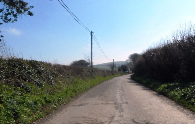
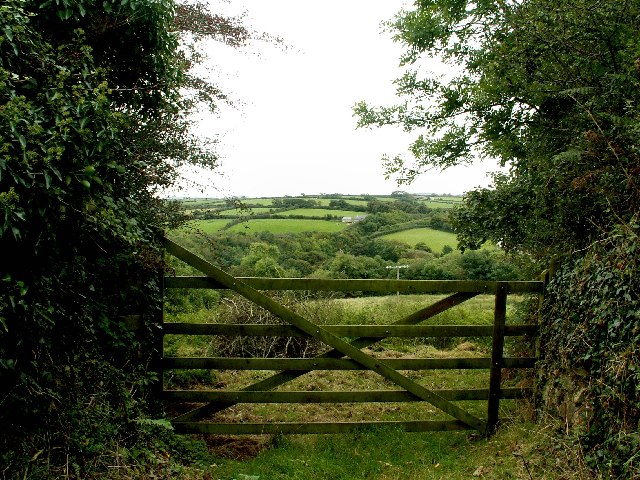
Lanhainsworth Images

Images are sourced within 2km of 50.441445/-4.9288545 or Grid Reference SW9264. Thanks to Geograph Open Source API. All images are credited.

St Columb Major, Bank St
Restormel : The A39 The A39 heads past St Columb Major here in the former Cornish district of Restormel.
Restormel : The A39
The A39 heads past St Columb Major here in the former Cornish district of Restormel.
Restormel : The A39 Traffic on the A39 as it bypasses the town of St Columb Major.
Restormel : The A39
Traffic on the A39 as it bypasses the town of St Columb Major.
St Columb Major : Newquay Road Newquay Road in Columb Major taken from the junction at Trekenning Road.
St Columb Major : Newquay Road
Newquay Road in Columb Major taken from the junction at Trekenning Road.
St Columb Major : Fair Street Fair Street taken on the road junction with Newquay Road.
St Columb Major : Fair Street
Fair Street taken on the road junction with Newquay Road.
Bridge carrying minor road over A39 south of St Columb Major On the left there are industrial buildings on the edge of the village.
Bridge carrying minor road over A39 south of St Columb Major
On the left there are industrial buildings on the edge of the village.
A39 passing St Columb Major The road to the right is a minor one which leads to Hill Head and a caravan park
A39 passing St Columb Major
The road to the right is a minor one which leads to Hill Head and a caravan park
Footpath sign by the A39 Despite this being principally a through route for vehicles, there is sufficient pedestrian traffic to merit a pedestrian sign to the town centre.
Footpath sign by the A39
Despite this being principally a through route for vehicles, there is sufficient pedestrian traffic to merit a pedestrian sign to the town centre.
A39 junction for St Columb Major Although St Columb Major is to the left of the A39, the signs take traffic to the right using wider roads than the single track road to the left through Talskiddy.
A39 junction for St Columb Major
Although St Columb Major is to the left of the A39, the signs take traffic to the right using wider roads than the single track road to the left through Talskiddy.
A39 cutting west of Trevornick Farm The lane on the left is the slip road for traffic from St Eval which joined at a crossroads before the cutting.
A39 cutting west of Trevornick Farm
The lane on the left is the slip road for traffic from St Eval which joined at a crossroads before the cutting.
St Columb Major: junction of Fore Street and Union Hill
Junction on the road from St Columb Major to Tregamere
The A39 Travelling north approaching St Columb Major.
The A39
Travelling north approaching St Columb Major.
The A39 A load of silage near St Columb Major.
The A39
A load of silage near St Columb Major.
The A39 A large tractor heading south-west near St Columb Major.
The A39
A large tractor heading south-west near St Columb Major.
A Private Track
A Private Track
Lane at Hill Head
Lane at Hill Head
Talskiddy Ford This is an impressive concrete based ford found just outside Talskiddy.
Talskiddy Ford
This is an impressive concrete based ford found just outside Talskiddy.
Show me another place!

Lanhainsworth is located at Grid Ref: SW9264 (Lat: 50.441445, Lng: -4.9288545)

Unitary Authority: Cornwall

Police Authority: Devon and Cornwall

What 3 Words

///organisms.bedding.decades. Near St Columb Major, Cornwall

Nearby Locations

Tregamere Lanhainsworth

Related Wikis

Gluvian

Gluvian is a hamlet in mid Cornwall, England, United Kingdom. It is situated one mile (1.6 km) north of St Columb Major (where the 2011 census population...

Tregamere

Tregamere is a hamlet in the parish of St Columb Major, Cornwall, England, United Kingdom, about 1 km northeast of the town of St Columb Major. == References ==

The Old Rectory, St Columb Major

The Old Rectory is a grade II* listed Victorian moated Rectory, located on the banks of the River Menalhyl in St Columb Major, in Cornwall, England. It...

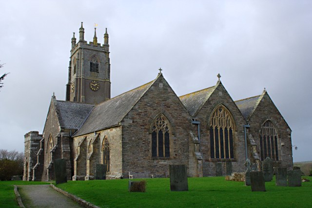
St Columba's Church, St Columb Major

St Columba's Church is a 14th-century, Grade I listed parish church in the Church of England Diocese of Truro in St Columb Major, Cornwall. In 1860 plans...

Nearby Amenities

Located within 500m of 50.441445,-4.9288545
Gluvian
Is In: Cornwall, England, UK
Is In Country: England
Is In Country Code: GB
Is In County: Cornwall
Place: village
Source: npe
Wikidata: Q5572506
Lat/Long: 50.4430039/-4.9352824
Tregamere
Place: hamlet
Wikidata: Q7837826
Lat/Long: 50.4438888/-4.9238384
Material: wood
Power: pole
Lat/Long: 50.4382295/-4.9323034
Power: pole
Lat/Long: 50.4380732/-4.9305385
Power: pole
Lat/Long: 50.4379314/-4.9288313
Power: pole
Lat/Long: 50.4379579/-4.9275814
Power: pole
Lat/Long: 50.4379895/-4.9268813
Power: pole
Lat/Long: 50.4380433/-4.9251151
Power: pole
Lat/Long: 50.4413659/-4.9353383
Power: pole
Lat/Long: 50.441207/-4.9338537
Power: pole
Lat/Long: 50.441488/-4.9323799
Power: pole
Lat/Long: 50.4418715/-4.9296346
Power: pole
Lat/Long: 50.441804/-4.9281111
Power: pole
Lat/Long: 50.441763/-4.9269028
Power: pole
Lat/Long: 50.4416759/-4.9253203
Power: pole
Lat/Long: 50.4416315/-4.9237351
Power: pole
Lat/Long: 50.4408901/-4.9230109
Power: pole
Lat/Long: 50.4401915/-4.922386
Parking
Access: yes
Fee: no
Parking: layby
Lat/Long: 50.4406621/-4.9321532
Generator Method: photovoltaic
Generator Output Electricity: yes
Generator Source: solar
Generator Type: solar_photovoltaic_panel
Location: roof
Power: generator
Lat/Long: 50.4410857/-4.9314317
The data included in this document is from www.openstreetmap.org. The data is made available under ODbL.

Have you been to Lanhainsworth?

Leave your review of Lanhainsworth below (or comments, questions and feedback).