Langport Eastover
Settlement in Somerset South Somerset
England
Langport Eastover
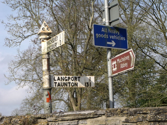
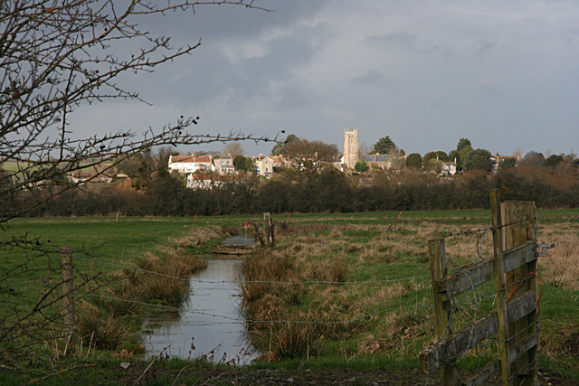
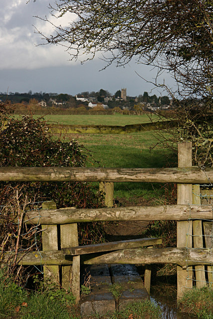
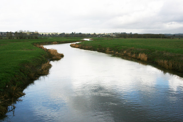
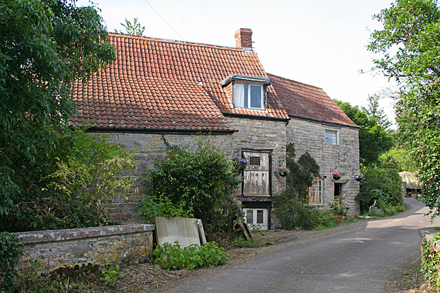
Langport Eastover is a small town located in the county of Somerset, England. Situated on the banks of the River Parrett, it has a population of around 1,700 residents. The town is part of the South Somerset district and lies approximately 10 miles northwest of Yeovil.
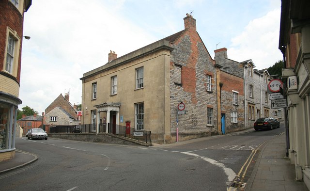
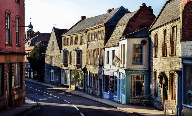
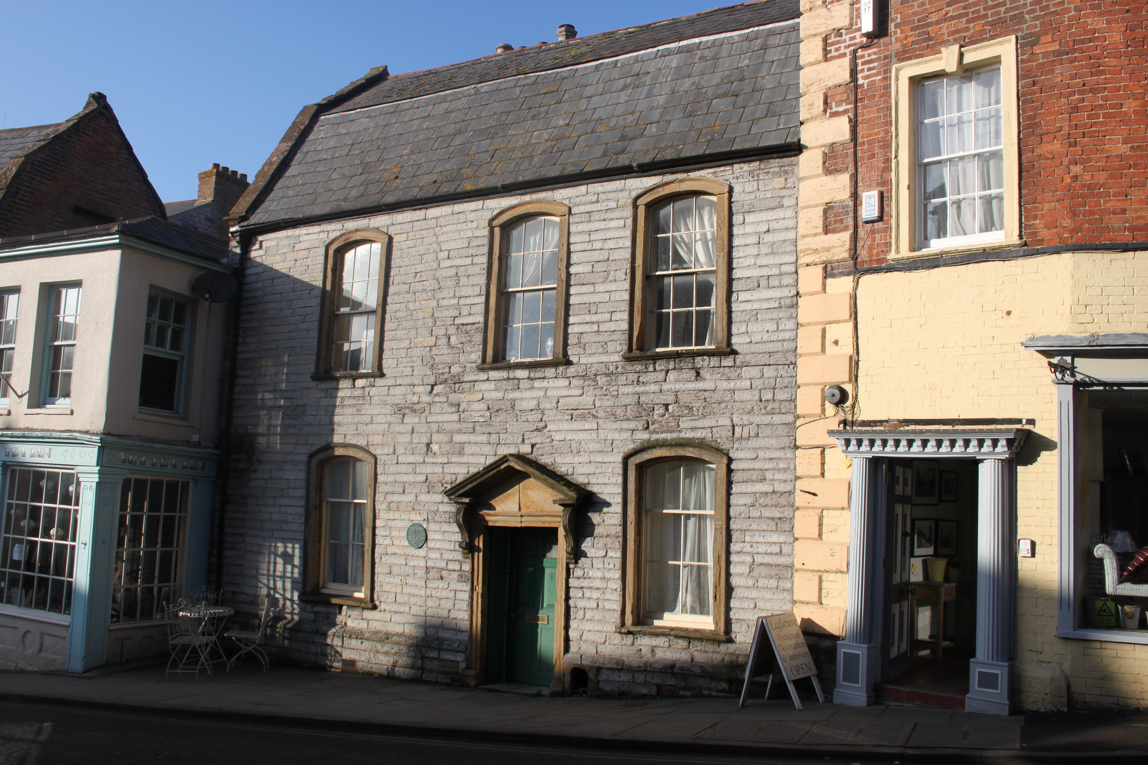
Historically, Langport Eastover was an important trading center, as it stood at the crossing of two major Roman roads. Its strategic location made it a significant hub for commerce and transportation in the region. Today, the town retains much of its historical charm, with several well-preserved buildings dating back to the medieval and Georgian periods.
One notable landmark in Langport Eastover is the Hanging Chapel, a unique structure suspended over the main street. This 15th-century chapel is a rare example of a medieval bridge chapel and is now a Grade I listed building.
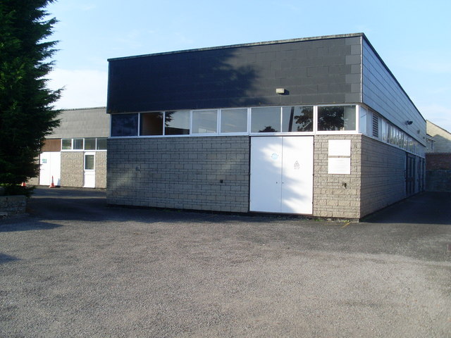
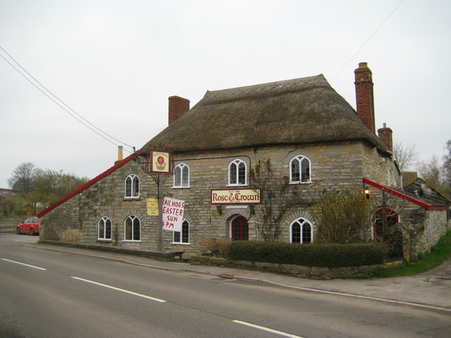
The town offers a range of amenities for its residents and visitors. There are several shops, cafes, and restaurants, as well as a primary school and a medical center. Langport Eastover also hosts regular markets and community events, attracting locals and tourists alike.
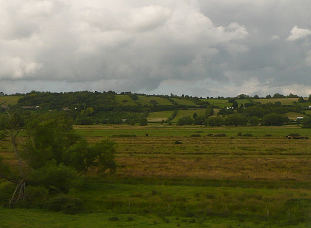
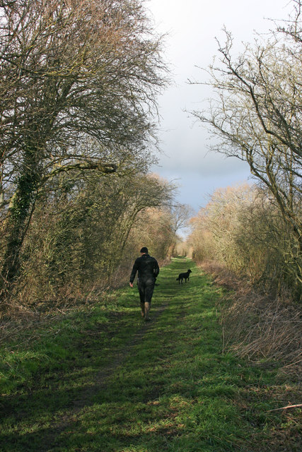
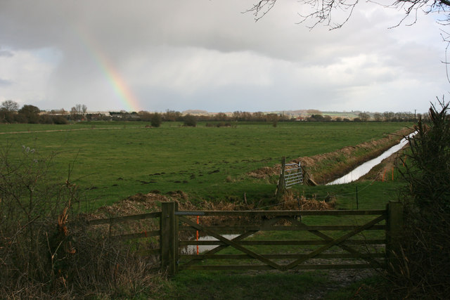
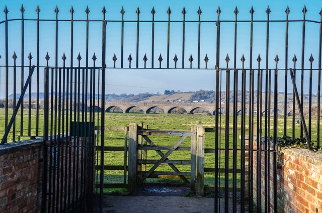
The surrounding countryside provides opportunities for outdoor activities, including walking, cycling, and fishing. The nearby River Parrett is particularly popular for boating and canoeing enthusiasts.
In summary, Langport Eastover is a picturesque town with a rich history and a strong sense of community. Its riverside location, historical landmarks, and recreational opportunities make it an attractive place to live and visit in Somerset.
If you have any feedback on the listing, please let us know in the comments section below.
Langport Eastover Images
Images are sourced within 2km of 51.03726/-2.829416 or Grid Reference ST4126. Thanks to Geograph Open Source API. All images are credited.


Langport Eastover is located at Grid Ref: ST4126 (Lat: 51.03726, Lng: -2.829416)
Administrative County: Somerset
District: South Somerset
Police Authority: Avon and Somerset
What 3 Words
///shorter.swordfish.decking. Near Langport, Somerset
Nearby Locations
Related Wikis

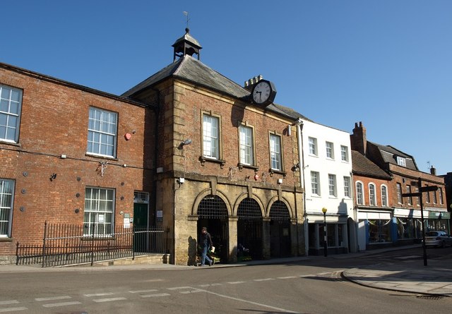
Langport Town Hall
Langport Town Hall is a municipal building in Bow Street in Langport, Somerset, England. The building, which is the meeting place of Langport Town Council...
Tudor House, Langport
The Tudor House is an 18th-century house in Langport, Somerset, England. It was built in 1776 but had fallen into disrepair until it was bought and restored...

Langport
Langport is a town and civil parish in Somerset, England, 5 miles (8 km) west of Somerton. The parish, which covers only part of the town, has a population...

Langport Rural District
Langport was a rural district in Somerset, England, from 1894 to 1974. It was created in 1894 under the Local Government Act 1894. In 1974 it was abolished...

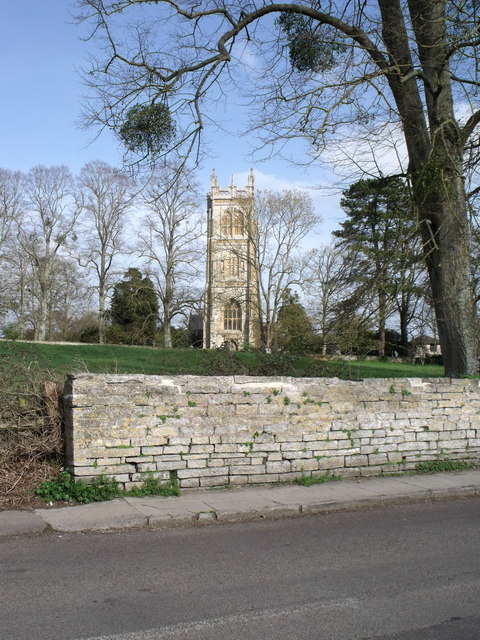
Church of All Saints, Langport
The Church of All Saints in Langport, Somerset, England, has 12th-century origins but was rebuilt in the late 15th century. It is recorded in the National...
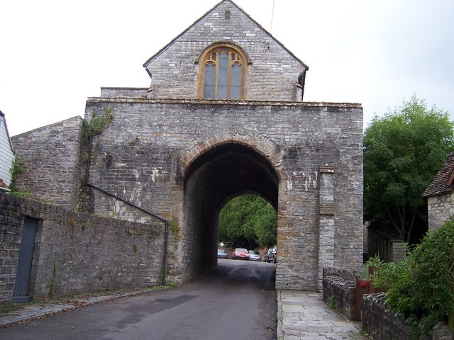
The Hanging Chapel
The Hanging Chapel (more formally known as the Chantry Chapel of the Blessed Virgin Mary) in Langport, Somerset, England is a 13th-century archway, bearing...

Warehouse, Langport
The Warehouse in Great Bow Yard Langport, Somerset, England is an example of Victorian industrial architecture. The Warehouse was built in the late 18th...
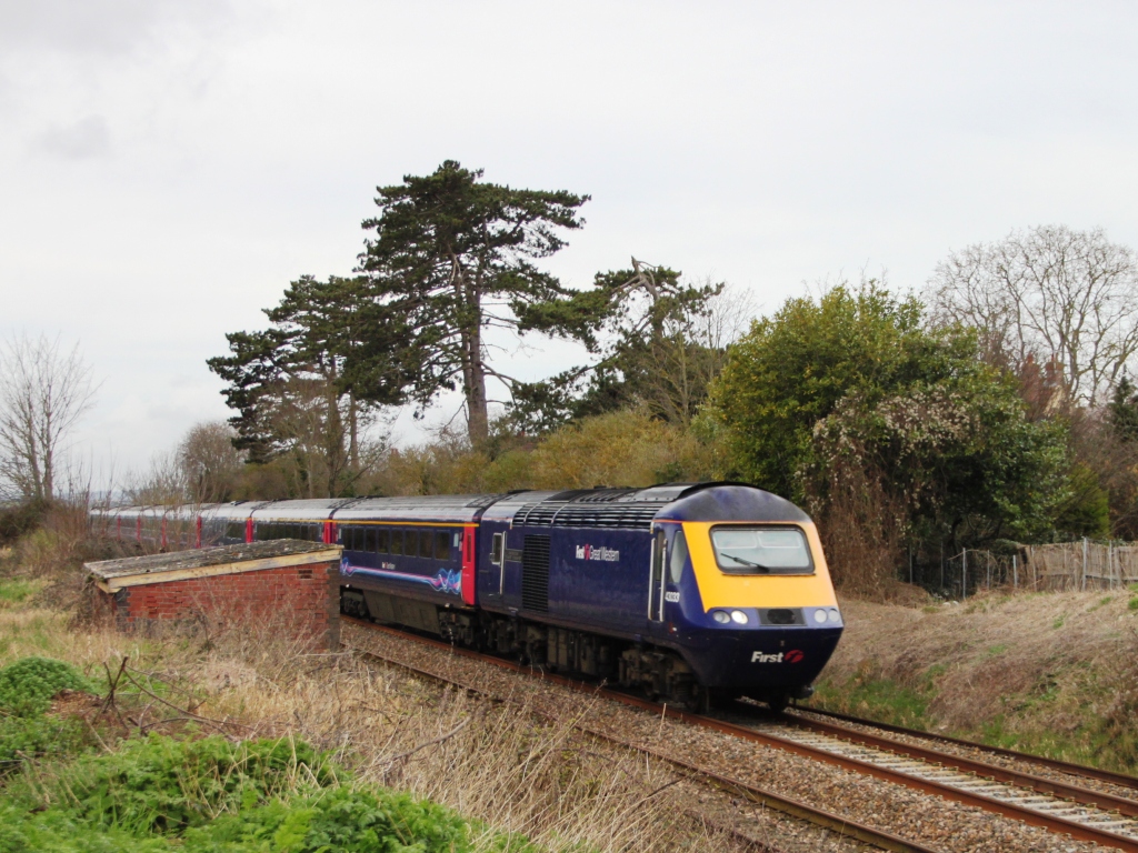
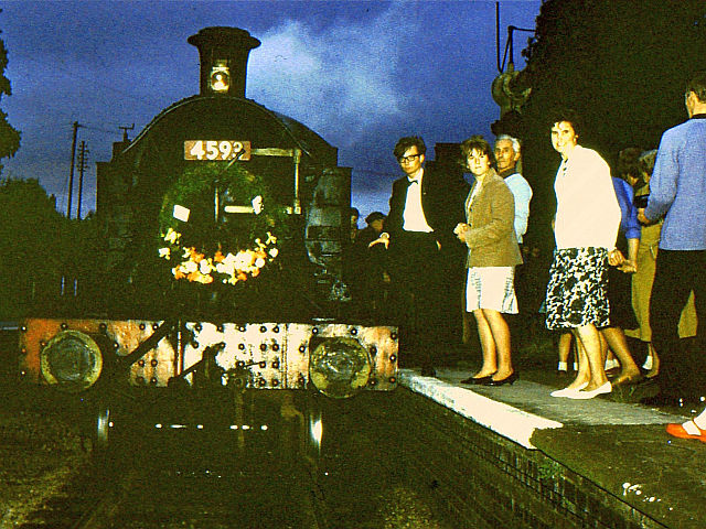
Langport East railway station
Langport East was a railway station situated in Langport in Somerset. The station also served Huish Episcopi. The station was on the Langport and Castle...
Nearby Amenities
Located within 500m of 51.03726,-2.829416Have you been to Langport Eastover?
Leave your review of Langport Eastover below (or comments, questions and feedback).