Langmere
Settlement in Norfolk South Norfolk
England
Langmere
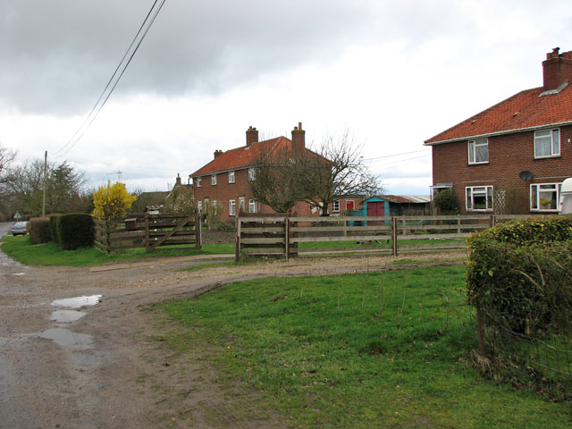
Langmere is a small village located in the county of Norfolk in eastern England. Situated about 14 miles south-east of Norwich, Langmere is part of the South Norfolk district and falls within the civil parish of Dickleburgh and Rushall. The village is nestled in a rural area surrounded by picturesque countryside, offering residents and visitors a tranquil and peaceful environment.
Langmere is known for its charming and traditional architecture, with a mix of thatched cottages and brick houses lining its quiet streets. The village is also home to a historic church, St. Michael and All Angels, which dates back to the 14th century and features some notable medieval features.
Although small in size, Langmere benefits from its proximity to nearby amenities. The village of Dickleburgh, just a short distance away, offers a range of facilities including a primary school, post office, convenience store, and a village hall. For more extensive amenities, the bustling market town of Diss is located approximately 6 miles to the south-west, providing residents with access to supermarkets, shops, cafes, and a railway station.
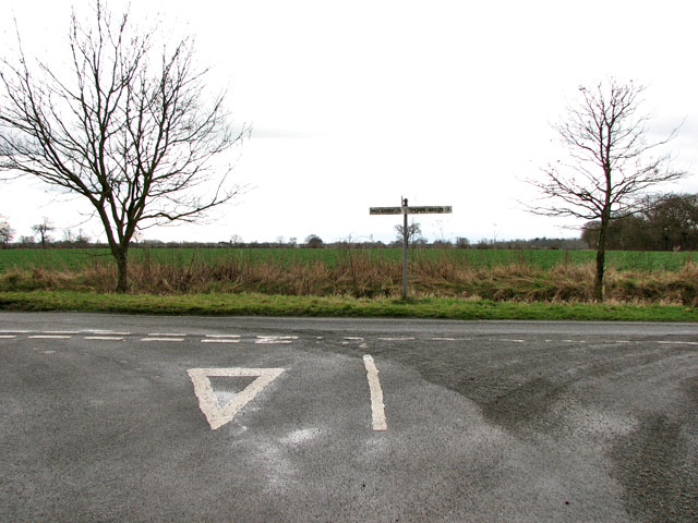
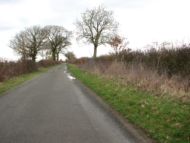
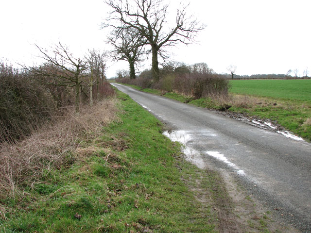
The surrounding countryside offers opportunities for outdoor activities such as walking, cycling, and birdwatching, with the Waveney Valley and Norfolk Broads both within easy reach. Overall, Langmere provides a peaceful and idyllic setting for those seeking a rural lifestyle while still being within reach of essential amenities and nearby attractions.
If you have any feedback on the listing, please let us know in the comments section below.
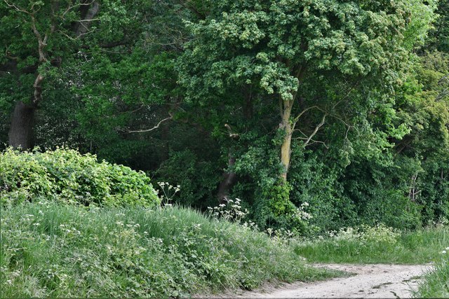
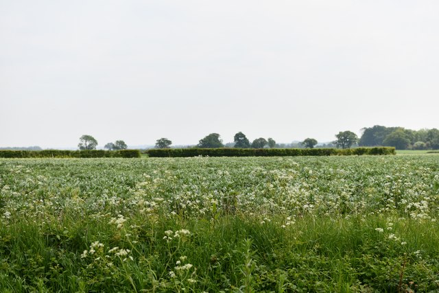
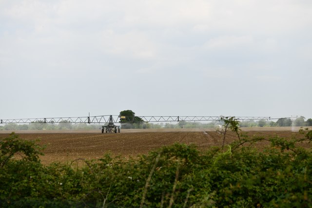
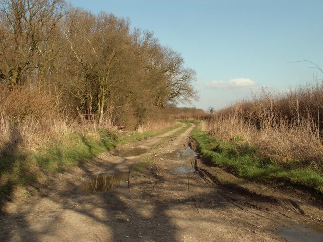
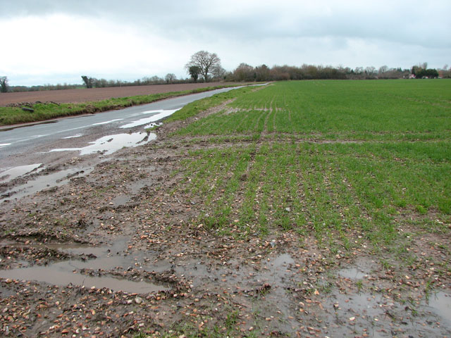
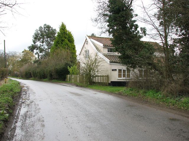
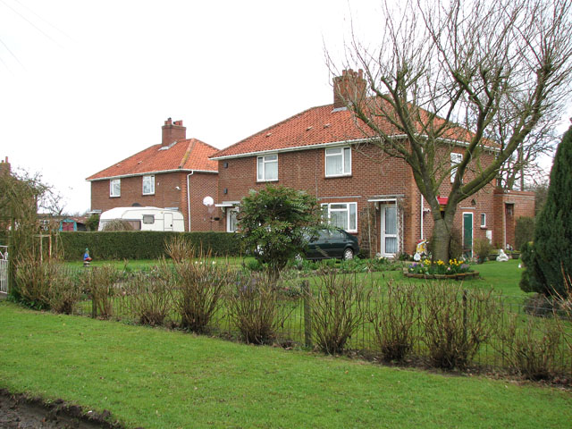
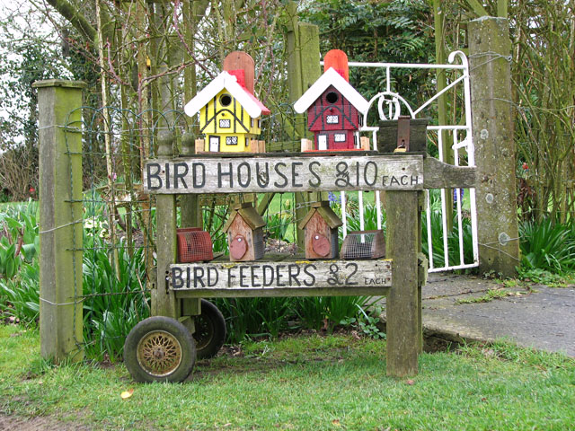
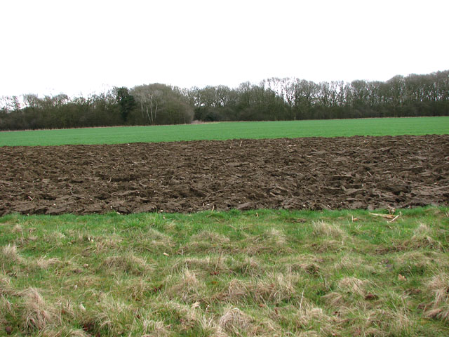
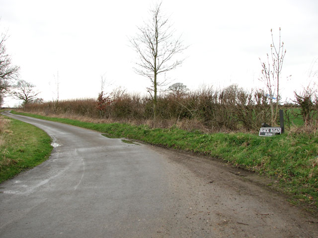
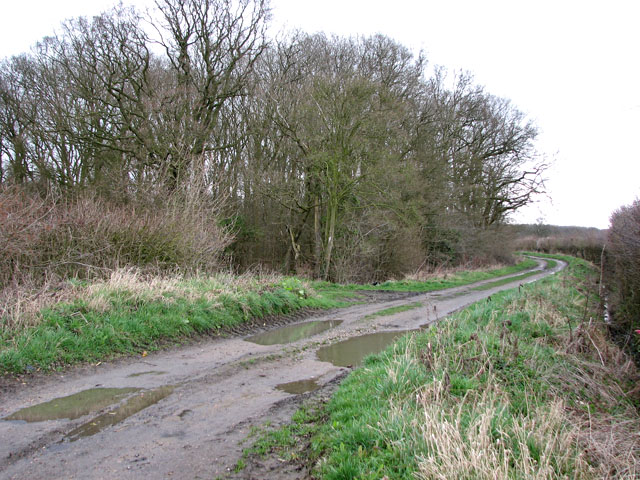
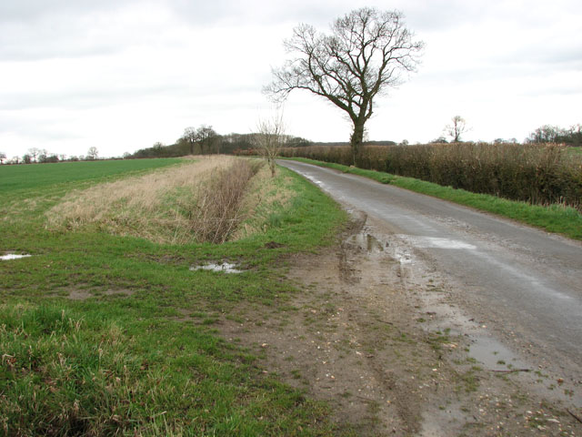
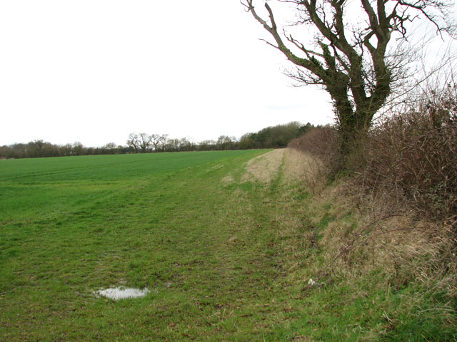
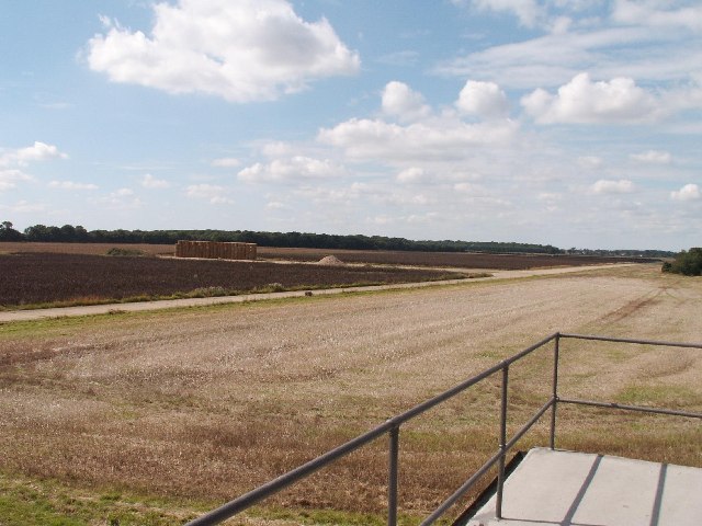
Langmere Images
Images are sourced within 2km of 52.392202/1.211506 or Grid Reference TM1881. Thanks to Geograph Open Source API. All images are credited.
Langmere is located at Grid Ref: TM1881 (Lat: 52.392202, Lng: 1.211506)
Administrative County: Norfolk
District: South Norfolk
Police Authority: Norfolk
What 3 Words
///swipes.audit.feasted. Near Dickleburgh, Norfolk
Nearby Locations
Related Wikis

100th Bomb Group Memorial Museum
The 100th Bomb Group Memorial Museum, located in the original control tower and other remaining buildings of the RAF Thorpe Abbotts airfield east of Diss...

Dickleburgh
Dickleburgh is a village and former civil parish, now in the parish of Dickleburgh and Rushall, in the South Norfolk district of the English county of...

Rushall, Norfolk
Rushall is a village and former civil parish, now in the parish of Dickleburgh and Rushall, in the South Norfolk district, in the county of Norfolk, England...
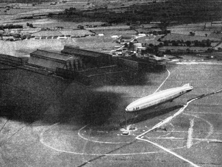
RNAS Pulham
RNAS Pulham (later RAF Pulham) was a Royal Navy Air Service (RNAS) airship station, near Pulham St Mary 18 mi (29 km) south of Norwich, UK. Though land...
Nearby Amenities
Located within 500m of 52.392202,1.211506Have you been to Langmere?
Leave your review of Langmere below (or comments, questions and feedback).