Knockbain

Settlement in Ross-shire

Scotland

Knockbain

Baled and safe. Haymaking was easy in 2006 - plenty of hot sunshine. However while awaiting its removal the owner of this crop is taking no chances. With Inverness nearby this is almost "urban fringe" and there is a good market for small hay bales for horse feed.
Baled and safe. Credit: Richard Webb

Knockbain is a small village located in the county of Ross-shire, in the northern part of Scotland. Situated about 10 miles northwest of the town of Inverness, Knockbain enjoys a picturesque setting amidst the stunning Scottish Highlands. The village is nestled between rolling hills and offers breathtaking views of the surrounding countryside.

The history of Knockbain dates back centuries, with evidence of human settlement in the area dating back to ancient times. The village itself has a charming and rustic feel, with traditional stone houses and a close-knit community. The population of Knockbain is relatively small, with around 200 residents.

Despite its small size, Knockbain is not lacking in amenities. The village boasts a primary school, a local shop, and a community hall, which serves as a hub for social gatherings and events. The residents of Knockbain take pride in their community and actively participate in various activities and initiatives.

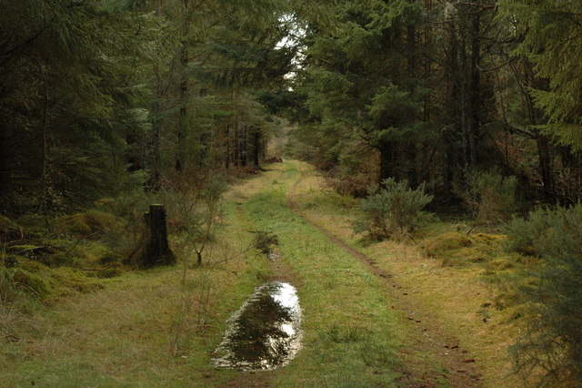
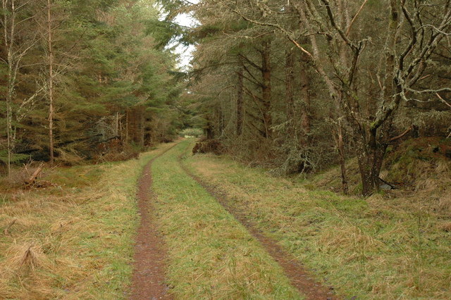
Nature lovers will find plenty to explore in the surrounding area. The nearby countryside offers numerous walking trails and scenic spots, perfect for outdoor enthusiasts. Additionally, Knockbain is conveniently located near the coast, allowing for easy access to beautiful beaches and coastal walks.

Overall, Knockbain is a peaceful and picturesque village in the heart of the Scottish Highlands. Its stunning natural surroundings, friendly community, and close proximity to both the town of Inverness and the coast make it an ideal place to live or visit for those seeking tranquility and natural beauty.

If you have any feedback on the listing, please let us know in the comments section below.
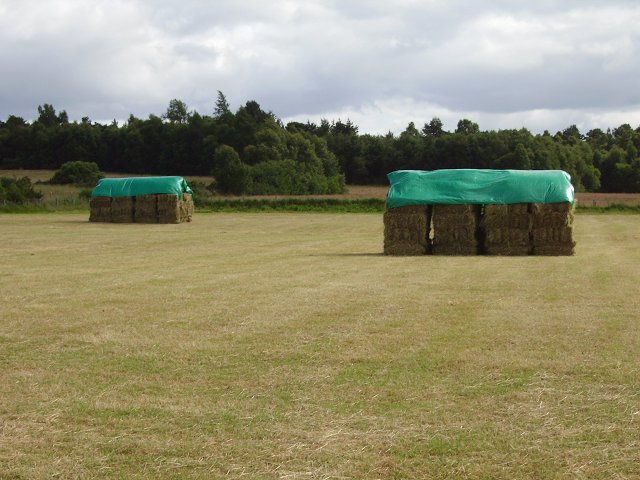
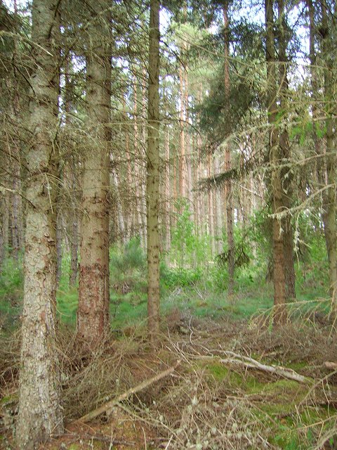
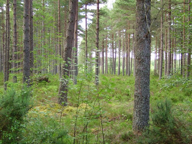
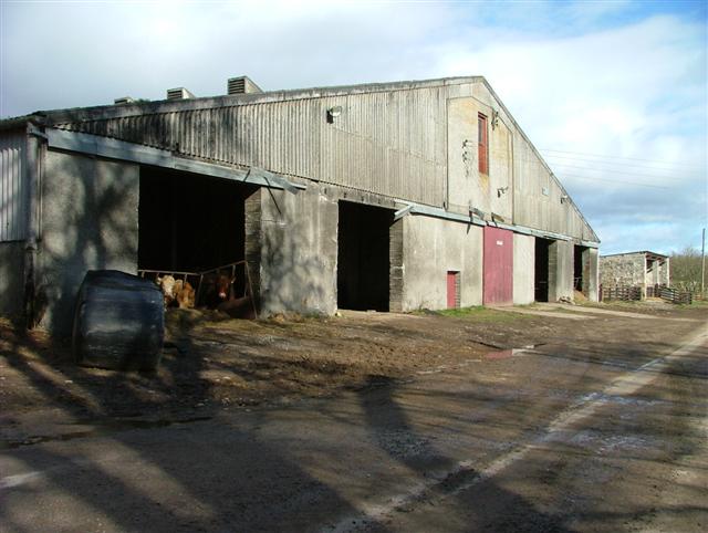
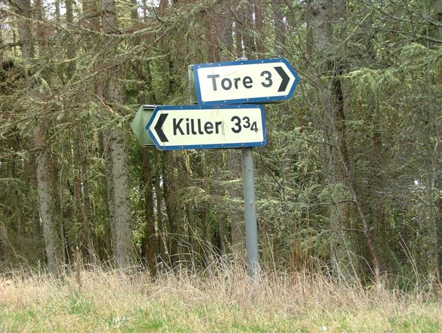
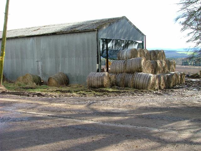
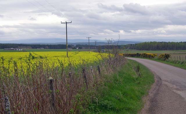
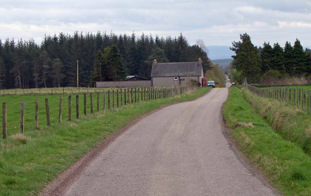
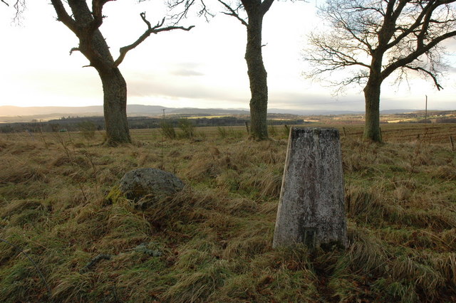
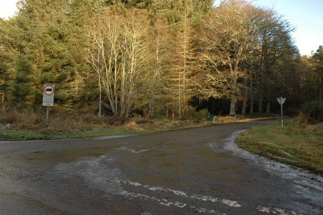
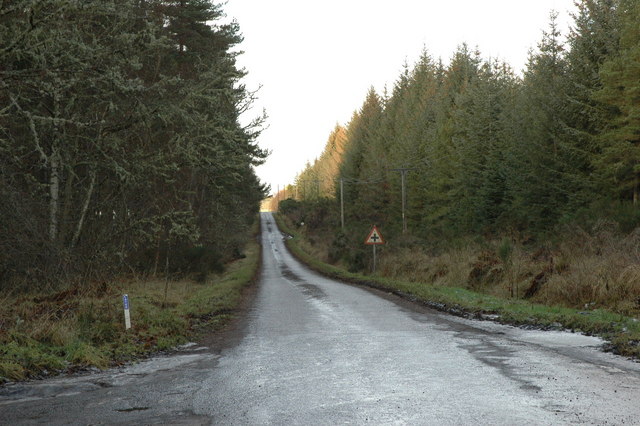
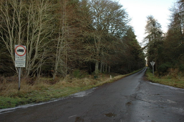
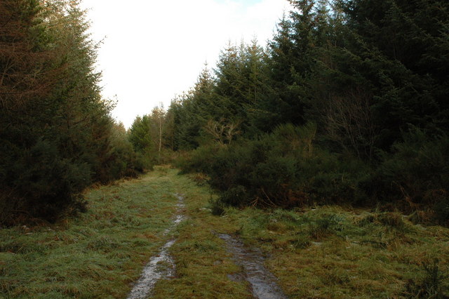
Knockbain Images

Images are sourced within 2km of 57.573664/-4.3026851 or Grid Reference NH6256. Thanks to Geograph Open Source API. All images are credited.

Baled and safe. Haymaking was easy in 2006 - plenty of hot sunshine. However while awaiting its removal the owner of this crop is taking no chances. With Inverness nearby this is almost "urban fringe" and there is a good market for small hay bales for horse feed.
Baled and safe.
Haymaking was easy in 2006 - plenty of hot sunshine. However while awaiting its removal the owner of this crop is taking no chances. With Inverness nearby this is almost "urban fringe" and there is a good market for small hay bales for horse feed.
Knockbain Wood. The central Millbuie ridge on the Black Isle is made of infertile sandy deposits from glaciers. Most of it is forested.
Knockbain Wood.
The central Millbuie ridge on the Black Isle is made of infertile sandy deposits from glaciers. Most of it is forested.
Bogbuie Wood Part of the large forest in the infertile middle of the Black Isle.
Bogbuie Wood
Part of the large forest in the infertile middle of the Black Isle.
Farm Building at Muirton The public road goes between the farm buildings.
Farm Building at Muirton
The public road goes between the farm buildings.
Cattle at Muirton Farm Enjoying a feed in the sunshine.
Cattle at Muirton Farm
Enjoying a feed in the sunshine.
Track in Bellton Wood Also known as Schoolhouse Wood.
Track in Bellton Wood
Also known as Schoolhouse Wood.
Road Through the Trees Going south to meet the A832 trunk road.
Road Through the Trees
Going south to meet the A832 trunk road.
Signpost at Junction The "Killer" one should read Killen.
Signpost at Junction
The "Killer" one should read Killen.
Farm Building at Muirton The public road goes through the farm.
Farm Building at Muirton
The public road goes through the farm.
Near Knockbain A view on the Black Isle.
Near Knockbain
A view on the Black Isle.
The road by Knockbain This area is full of small crofts that appear to be very active.
The road by Knockbain
This area is full of small crofts that appear to be very active.
Trig point near Munlochy
Crossroads in Bellton Wood
Minor road to Culbokie The crossroads sign that can be seen should be facing the opposite direction.
Minor road to Culbokie
The crossroads sign that can be seen should be facing the opposite direction.
Minor road through Bellton Wood
Track in Bellton Wood
Bellton Wood
Bellton Wood
Bellton Wood The forest track deteriorates in the distance.
Bellton Wood
The forest track deteriorates in the distance.
Show me another place!

Knockbain is located at Grid Ref: NH6256 (Lat: 57.573664, Lng: -4.3026851)

Unitary Authority: Highland

Police Authority: Highlands and Islands

What 3 Words

///surfacing.oblige.arena. Near Dingwall, Highland

Nearby Locations

Knockbain

Related Wikis

Mounteagle transmitting station

The Mounteagle transmitting station is a broadcasting and telecommunications facility, situated close to the town of Fortrose, Scotland, in Highland (grid...

Duncanston

Duncanston is a scattered crofting and rural village, lying 3 miles east of Conon Bridge, on the Black Isle in Inverness, within the Scottish Highlands...

Munlochy railway station

Munlochy railway station served the village of Munlochy, Ross and Cromarty, Scotland, from 1894 to 1951 on the Fortrose Branch. == History == The station...

Munlochy

Munlochy ( mən-LOKH-ee; Scottish Gaelic: Poll Lochaidh) is a small village, lying at the head of Munlochy Bay (Ob Poll Lochaidh), in the Black Isle in...

Nearby Amenities

Located within 500m of 57.573664,-4.3026851
Knockbain
Place: hamlet
Source: OS OpenData Streetview
Lat/Long: 57.5726318/-4.3093208
Booth: K6
Covered: booth
Disused Amenity: telephone
Man Made: telephone_box
Source: survey 13th August 2014
Lat/Long: 57.5711514/-4.2970673
Power: pole
Lat/Long: 57.5713848/-4.3090434
Power: pole
Lat/Long: 57.5717243/-4.3080897
Power: pole
Lat/Long: 57.5720812/-4.3071157
Power: pole
Lat/Long: 57.5724642/-4.3060828
Power: pole
Lat/Long: 57.5728287/-4.3050763
Power: pole
Lat/Long: 57.5732009/-4.3040394
Power: pole
Lat/Long: 57.5732389/-4.3028219
Power: pole
Lat/Long: 57.5732825/-4.3015942
Power: pole
Lat/Long: 57.5749483/-4.3046989
Power: pole
Lat/Long: 57.5744554/-4.3038852
Power: pole
Lat/Long: 57.5740594/-4.303106
Power: pole
Lat/Long: 57.5736666/-4.3023572
Power: pole
Lat/Long: 57.5728744/-4.3009449
Power: pole
Lat/Long: 57.5724838/-4.3003402
Power: pole
Lat/Long: 57.571968/-4.2995224
Power: pole
Lat/Long: 57.571474/-4.2987412
Power: pole
Lat/Long: 57.5709691/-4.2979579
Power: pole
Lat/Long: 57.5705142/-4.2970914
Power: pole
Lat/Long: 57.5754396/-4.30554
Power: pole
Lat/Long: 57.5759042/-4.3063476
Power: pole
Lat/Long: 57.5763535/-4.3069746
Power: pole
Lat/Long: 57.5767778/-4.3075408
Power: pole
Lat/Long: 57.5754728/-4.3070609
Power: pole
Lat/Long: 57.5750571/-4.3077772
Power: pole
Lat/Long: 57.5746665/-4.3084428
Power: pole
Lat/Long: 57.5726329/-4.2996299
Power: pole
Lat/Long: 57.5730833/-4.2989705
Power: pole
Lat/Long: 57.5735034/-4.2983739
Power: pole
Lat/Long: 57.5711421/-4.2973065
Power: pole
Lat/Long: 57.5713445/-4.2967444
Power: pole
Lat/Long: 57.5715665/-4.2961641
Power: pole
Lat/Long: 57.5717624/-4.2956385
The data included in this document is from www.openstreetmap.org. The data is made available under ODbL.

Have you been to Knockbain?

Leave your review of Knockbain below (or comments, questions and feedback).