Knockbain
Settlement in Inverness-shire
Scotland
Knockbain
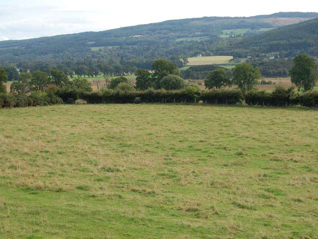
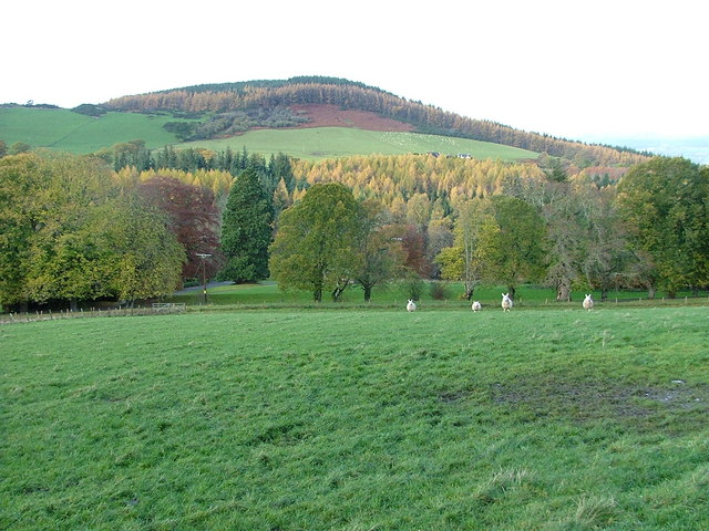
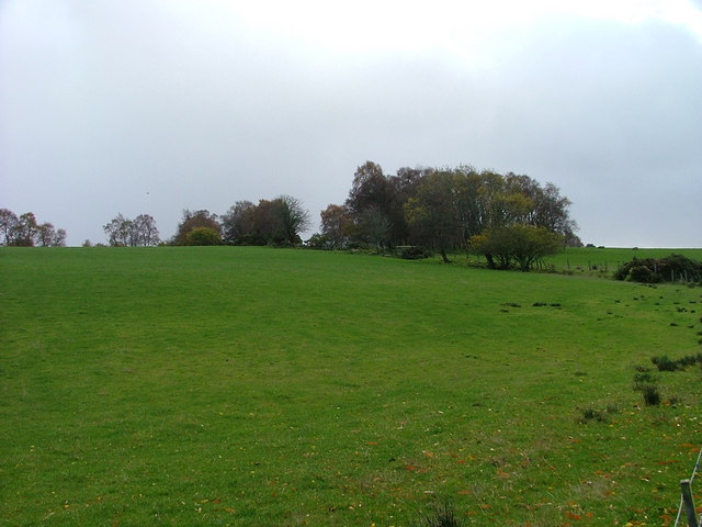
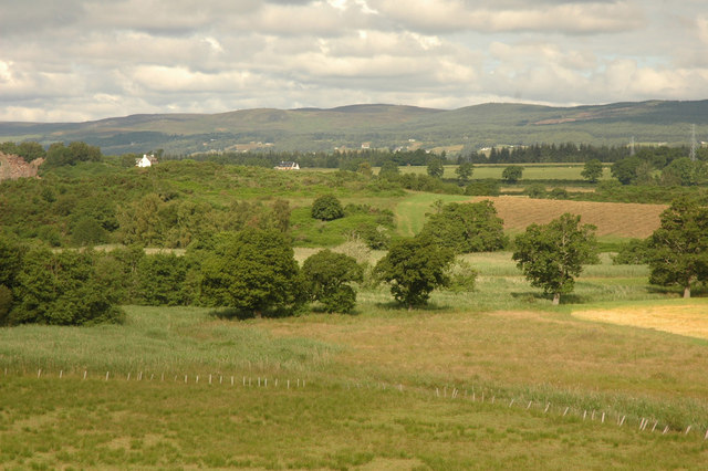
Knockbain is a picturesque village located in the Inverness-shire region of Scotland. Situated just a few miles northeast of Inverness, the village is surrounded by stunning natural beauty, with rolling hills and lush green landscapes dominating the area.
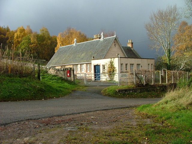
With a population of around 500 residents, Knockbain offers a tranquil and close-knit community atmosphere. The village is known for its charming traditional stone houses and well-maintained gardens, adding to its overall appeal. The local residents take great pride in preserving the village's heritage and maintaining its unique character.
Despite its small size, Knockbain boasts a range of amenities that cater to the needs of its residents. The village features a community center, a primary school, and a village hall where various events and gatherings take place throughout the year. Additionally, there are a few local businesses, including a small grocery store and a cozy pub, serving as social hubs for the community.
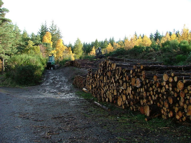
One of the highlights of Knockbain is its proximity to the stunning Scottish Highlands, offering residents and visitors ample opportunities for outdoor activities. Hiking, fishing, and cycling are popular pastimes in the area, with numerous trails and paths to explore. The nearby Moray Firth coastline is also easily accessible, providing breathtaking views and the chance to spot dolphins and other marine wildlife.
In conclusion, Knockbain is a charming village situated in the beautiful Inverness-shire region. With its stunning surroundings, strong sense of community, and access to outdoor recreational activities, it is an idyllic place to live or visit for those seeking tranquility and natural beauty.
If you have any feedback on the listing, please let us know in the comments section below.
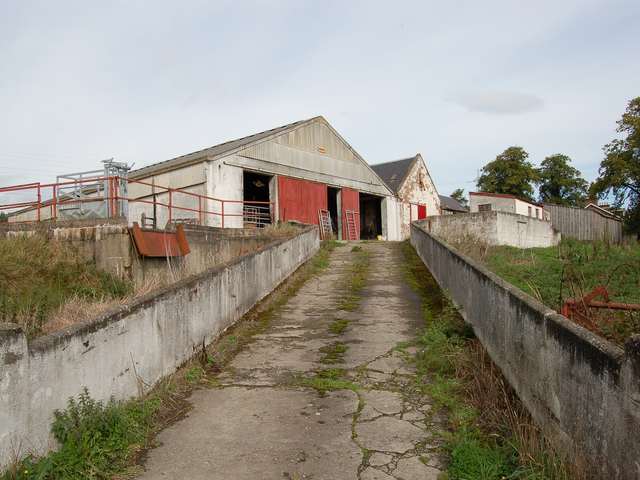
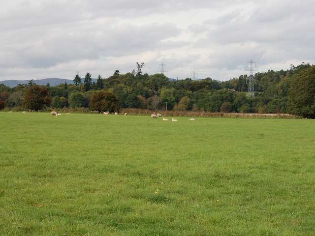
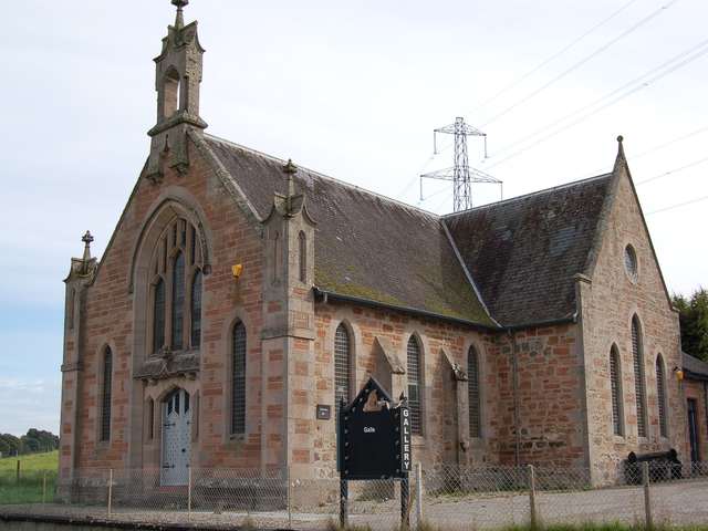
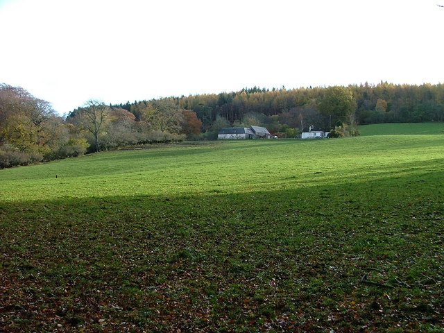
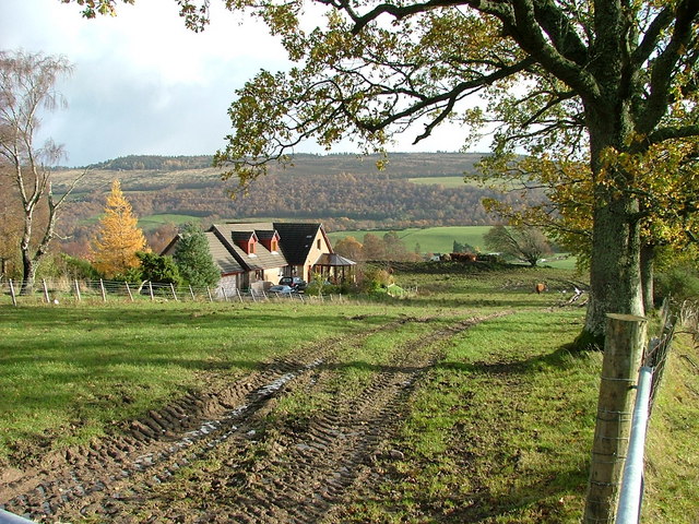
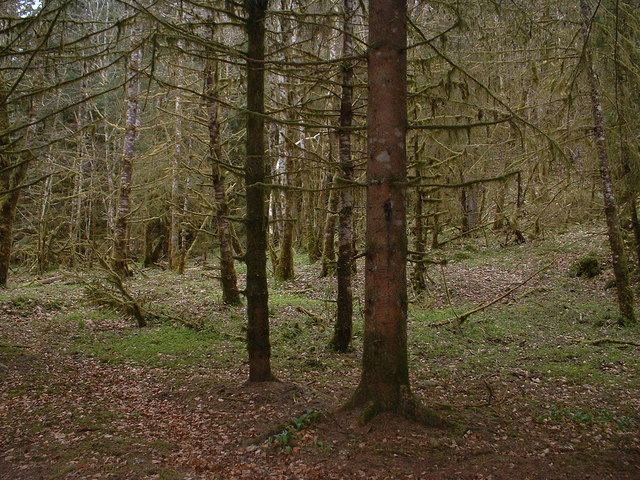
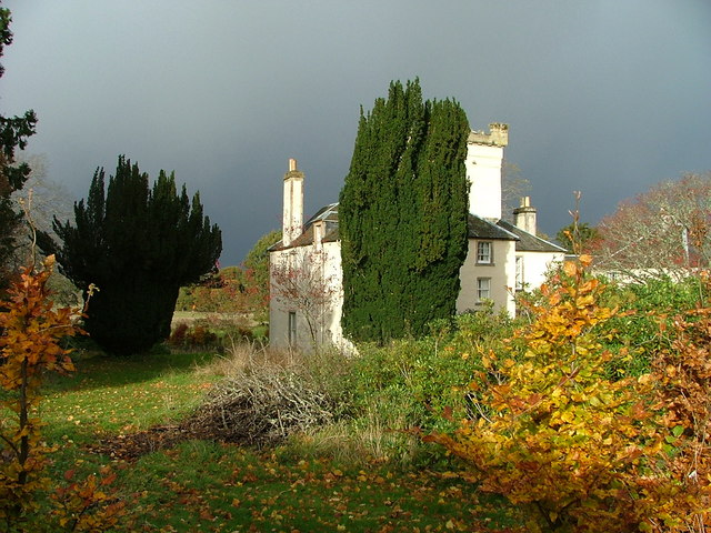
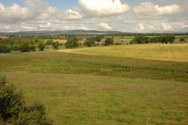
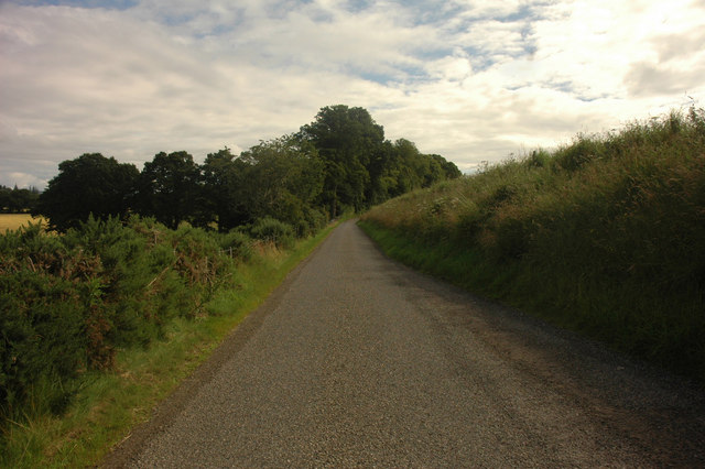
Knockbain Images
Images are sourced within 2km of 57.456474/-4.4141437 or Grid Reference NH5543. Thanks to Geograph Open Source API. All images are credited.
Knockbain is located at Grid Ref: NH5543 (Lat: 57.456474, Lng: -4.4141437)
Unitary Authority: Highland
Police Authority: Highlands and Islands
What 3 Words
///sculpting.stores.forest. Near Beauly, Highland
Nearby Locations
Related Wikis

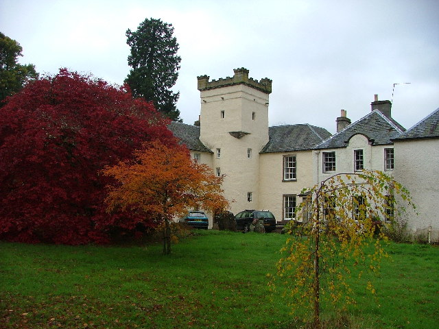
Moniack Castle
Moniack Castle is a 16th-century tower house located 7 miles (11 km) west of Inverness, and just south of Beauly in Highland, Scotland. The castle was...

The Aird
The Aird (from Scottish Gaelic: An Àird (IPA: [an ˈaːɾʃt̪]) meaning "The High Place") is an area of the County of Inverness, to the west of the City of...

Kirkhill, Highland
Kirkhill (Scottish Gaelic: Cnoc Mhoire, meaning "Big Hill") is a small village and civil parish in the Highland council area of Scotland. It is 10 miles...

Cabrich
Cabrich (Scottish Gaelic: Cabarach, meaning "Place of Tree-trunks") is a scattered crofting community in the Highland council area of Scotland. It is 1...
Nearby Amenities
Located within 500m of 57.456474,-4.4141437Have you been to Knockbain?
Leave your review of Knockbain below (or comments, questions and feedback).