Kitwell

Settlement in Worcestershire Bromsgrove

England

Kitwell

A Prospect of Birmingham The view from Frankley Beeches. Below, the reservoirs where the city's water is kept when it arrives from Wales.
A Prospect of Birmingham Credit: Adrian Bailey

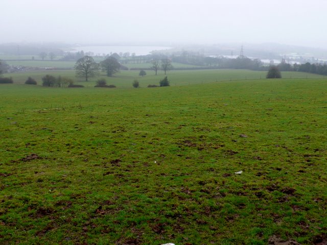
Kitwell is a small village located in the county of Worcestershire, England. Situated approximately 11 miles southwest of the city of Birmingham, it falls within the administrative district of the Metropolitan Borough of Dudley. The village is nestled amidst picturesque countryside, offering its residents a tranquil and idyllic setting.

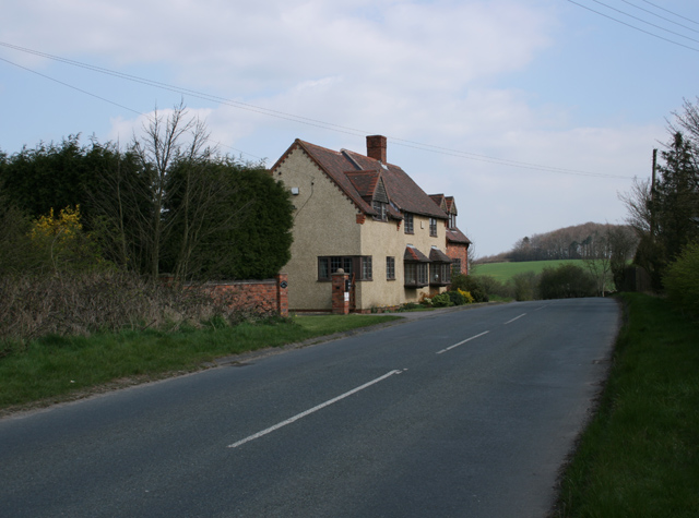
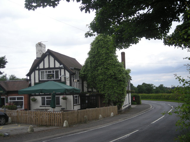
Kitwell is primarily a residential area, consisting mainly of detached and semi-detached houses. The village is known for its close-knit community spirit, with an active residents' association organizing various social events throughout the year. The village also boasts a local pub, providing a gathering place for locals and visitors alike.

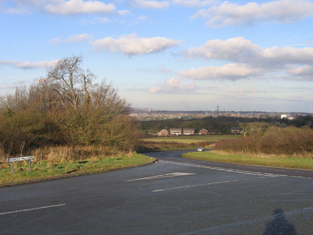
In terms of amenities, Kitwell offers limited facilities within its immediate vicinity. However, nearby towns such as Halesowen and Quinton provide a wider range of services, including supermarkets, shops, schools, and healthcare facilities. The village benefits from excellent transport links, with regular bus services connecting it to neighboring towns and cities.

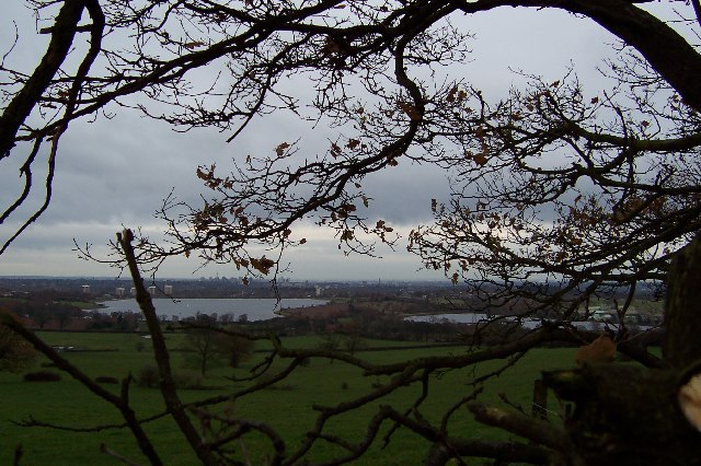
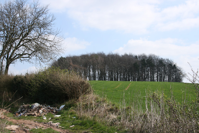
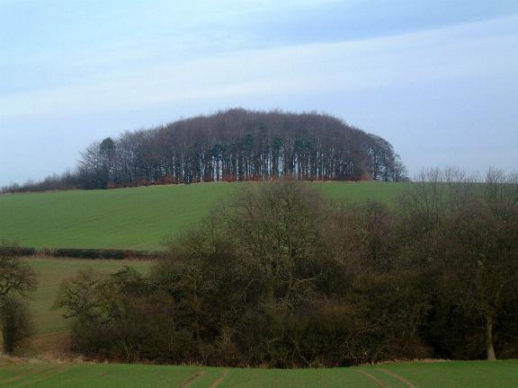
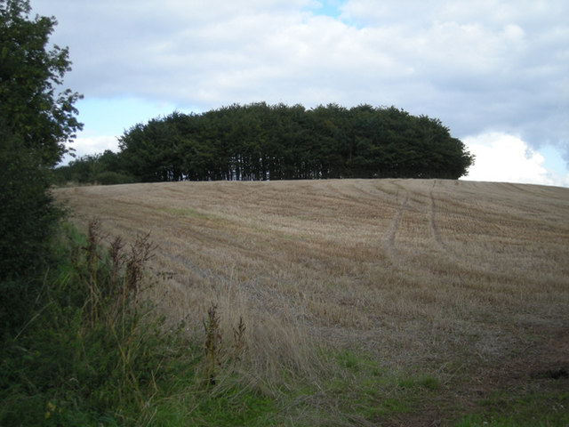
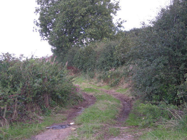
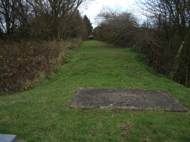
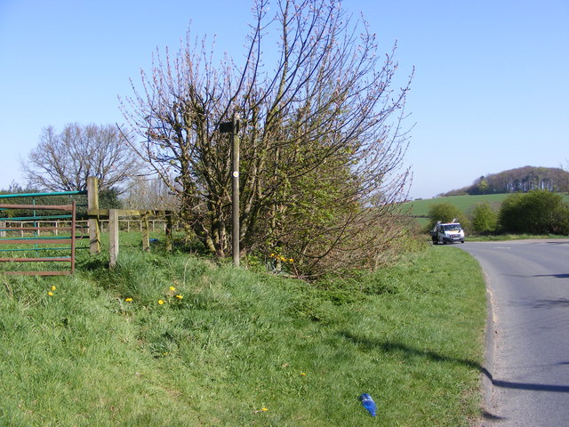
Nature enthusiasts will appreciate the surrounding countryside, which offers ample opportunities for outdoor activities such as walking, cycling, and exploring the nearby Clent Hills. The area also features several parks and green spaces, providing recreational areas for residents to enjoy.

In conclusion, Kitwell is a peaceful and residential village in Worcestershire, offering its residents a serene countryside lifestyle while still being within easy reach of larger towns and cities. Its close-knit community and beautiful surroundings make it an attractive place to live for those seeking a quieter, rural setting.

If you have any feedback on the listing, please let us know in the comments section below.

Kitwell Images

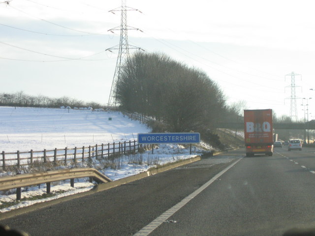
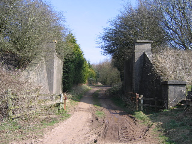
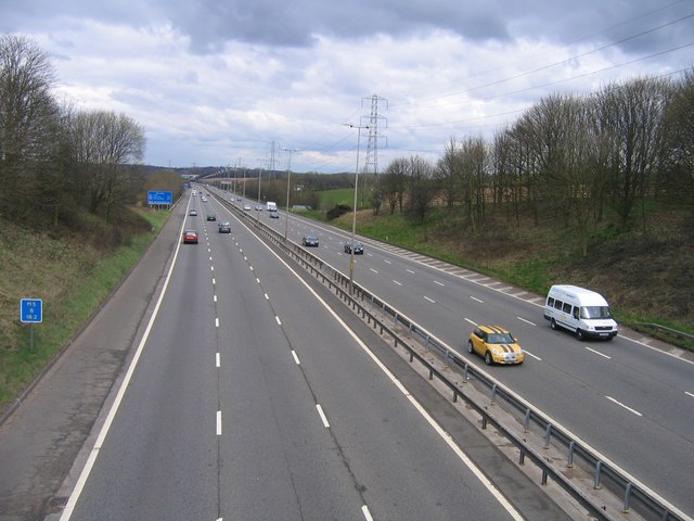
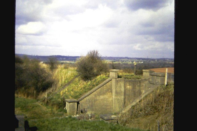
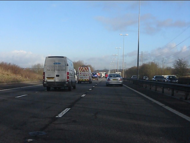
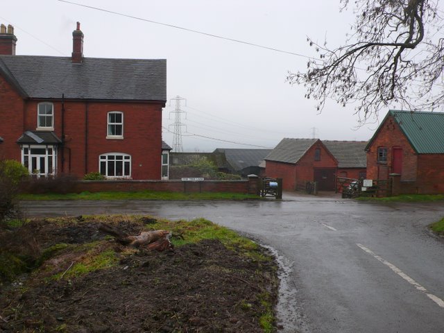
Images are sourced within 2km of 52.429366/-2.0154721 or Grid Reference SO9981. Thanks to Geograph Open Source API. All images are credited.

A Prospect of Birmingham The view from Frankley Beeches. Below, the reservoirs where the city's water is kept when it arrives from Wales.
A Prospect of Birmingham
The view from Frankley Beeches. Below, the reservoirs where the city's water is kept when it arrives from Wales.
Frankley Hill Lane Frankley Beeches in the background
Frankley Hill Lane
Frankley Beeches in the background
Frankley Beeches
Frankley Beeches
Frankley Beeches The cluster of beeches is a legacy of the Cadbury family and is now cared for by the National Trust. The landmark is sufficiently prominent to be seen by traffic heading north along the M5 - if you dare - about 2kms before Frankley Services.
Frankley Beeches
The cluster of beeches is a legacy of the Cadbury family and is now cared for by the National Trust. The landmark is sufficiently prominent to be seen by traffic heading north along the M5 - if you dare - about 2kms before Frankley Services.
Frankley Beeches, a local landmark
Farm track near Frankley Beeches
Route of Elan pipeline A long mound concealing the Elan pipeline, looking towards Frankley.
Route of Elan pipeline
A long mound concealing the Elan pipeline, looking towards Frankley.
Frankley Hill Lane, Egghill Lane Junction View taken on the road junction just a short distance from Frankley Beeches Wood a local National Trust landmark which can be seen from the other side of the City of Birmingham.
Frankley Hill Lane, Egghill Lane Junction
View taken on the road junction just a short distance from Frankley Beeches Wood a local National Trust landmark which can be seen from the other side of the City of Birmingham.
M5 Motorway Crossing The Border into Worcestershire Just South of Frankley Services between Junctions 3 and 4.
M5 Motorway Crossing The Border into Worcestershire
Just South of Frankley Services between Junctions 3 and 4.
Dismantled Railway Bridge, Rubery to Halesowen Railway
M5 Motorway Looking North Towards Frankley Services & Junction 3
Remains of railway bridge, near Elan Aqueduct Viewed from site of Halesowen Railway bridge, close to route of Elan Aqueduct.  Under former bridge, off to right is cul-de-sac on Oxwood Lane.  Half a mile north of here is the site of Dowery Dell viaduct.

More recent photo <a href="https://www.geograph.org.uk/photo/1213252">SO9779 : Dismantled Railway Bridge, Rubery to Halesowen Railway</a>
Remains of railway bridge, near Elan Aqueduct
Viewed from site of Halesowen Railway bridge, close to route of Elan Aqueduct. Under former bridge, off to right is cul-de-sac on Oxwood Lane. Half a mile north of here is the site of Dowery Dell viaduct. More recent photo SO9779 : Dismantled Railway Bridge, Rubery to Halesowen Railway
M5 Motorway running straight toward Frankley
Yew Tree Farm This farm on Yew Tree Lane at the junction with Pound Lane is just east of the M5 and must have lost a large amount of land when the motorway was built.
Yew Tree Farm
This farm on Yew Tree Lane at the junction with Pound Lane is just east of the M5 and must have lost a large amount of land when the motorway was built.
Fly Tipping on Egg Hill This is a favourite fly tipping spot as there is a layby with a small wooded area accessible right next to the road well away from any houses. Even sadder because the woods contain a memorial to Stanley Edge.
Fly Tipping on Egg Hill
This is a favourite fly tipping spot as there is a layby with a small wooded area accessible right next to the road well away from any houses. Even sadder because the woods contain a memorial to Stanley Edge.
Memorial to Stanley Edge This granite memorial stone is in a small wooded area just off the minor road Egghill Lane. The memorial reads "Austin Seven. In Memory of Stanley Howard Edge 1903 - 1990 who helped create the motor for the millions" Unfortunately the site has been much despoiled by flytippers. Edge was a young draftsman trained at the Austin works who helped design the Austin Seven.
Memorial to Stanley Edge
This granite memorial stone is in a small wooded area just off the minor road Egghill Lane. The memorial reads "Austin Seven. In Memory of Stanley Howard Edge 1903 - 1990 who helped create the motor for the millions" Unfortunately the site has been much despoiled by flytippers. Edge was a young draftsman trained at the Austin works who helped design the Austin Seven.
Countryside at Frankley Beeches This is the view across to Frankley reservoirs from near to Egghill Lane on Egg Hill
Countryside at Frankley Beeches
This is the view across to Frankley reservoirs from near to Egghill Lane on Egg Hill
Frankley Hill Path The view as a footpath joins Frankley Hill Lane.
Frankley Hill Path
The view as a footpath joins Frankley Hill Lane.
Show me another place!

Kitwell is located at Grid Ref: SO9981 (Lat: 52.429366, Lng: -2.0154721)

Administrative County: Worcestershire

District: Bromsgrove

Police Authority: West Merica

What 3 Words

///jeeps.decide.ranked. Near Bartley Green, West Midlands

Nearby Locations

Kitwell Bromwich Wood

Related Wikis

Frankley services

Frankley services is a motorway service station on the M5 motorway between Junctions 3 (A456, Quinton Interchange) and 4 (A38, Lydiate Ash), near Birmingham...

Illey

Illey is a hamlet south of Halesowen in the Dudley district, in the county of the West Midlands, England. == History == Illey was historically a township...

King Edward VI Five Ways School

King Edward VI Five Ways (KEFW) is a selective co-educational state grammar school for ages 11–18 in Bartley Green, Birmingham, United Kingdom. One of...

St Michael and All Angels' Church, Bartley Green

St. Michael and All Angels' Church, Bartley Green is a parish church in the Church of England located in Bartley Green, Birmingham. == History == St....

Nearby Amenities

Located within 500m of 52.429366,-2.0154721
Source: Bing
Lat/Long: 52.4282018/-2.01804
Power: tower
Source: bing
Lat/Long: 52.4322379/-2.0129618
Power: tower
Source: survey; Bing
Lat/Long: 52.4338251/-2.0151968
Power: tower
Source: survey
Lat/Long: 52.4321904/-2.0148787
Traffic Calming: cushion
Lat/Long: 52.4295162/-2.0140543
Barrier: rising_bollard
Note: appears to be broken and left down/open
Status: open
Lat/Long: 52.4298622/-2.0155549
Bus Stop
Balmoral Rd / Ravenhayes Lane
Bus: yes
Naptan AtcoCode: 43000395202
Naptan Bearing: W
Naptan BusStopType: MKD
Naptan CommonName: Ravenhayes Lane
Naptan Indicator: before
Naptan Landmark: M5 Service Area
Naptan NaptanCode: nwmgmadj
Naptan Status: ACT
Naptan StopType: BCT
Naptan Street: BALMORAL RD
Naptan Towards: Frankley
Naptan Verified: no
Public Transport: platform
Route Ref: 22;23;202
Source: WMCA
Lat/Long: 52.4291322/-2.0146046
Post Box
Ref: B32 1342
Lat/Long: 52.4290568/-2.0099788
Power: tower
Source: Bing; survery
Lat/Long: 52.4302909/-2.0091009
Bus Stop
Balmoral Rd / Harlech Close
Bus: yes
Naptan AtcoCode: 43000395101
Naptan Bearing: NW
Naptan BusStopType: MKD
Naptan CommonName: Harlech Close
Naptan Indicator: adj
Naptan NaptanCode: nwmawtja
Naptan PlusbusZoneRef: BHAMNWS
Naptan Status: ACT
Naptan StopType: BCT
Naptan Street: BALMORAL RD
Naptan Towards: Frankley
Naptan Verified: no
Public Transport: platform
Route Ref: 22;23;202
Source: WMCA
Lat/Long: 52.428818/-2.009751
Bus Stop
Balmoral Rd / Harlech Close
NaPTANAreaCode: 43000395102
Bus: yes
Naptan AtcoCode: 43000395102
Naptan Bearing: SE
Naptan BusStopType: MKD
Naptan CommonName: Harlech Close
Naptan Indicator: opp
Naptan NaptanCode: nwmawtjd
Naptan PlusbusZoneRef: BHAMNWS
Naptan Status: ACT
Naptan StopType: BCT
Naptan Street: BALMORAL RD
Naptan Towards: Bartley Green
Naptan Verified: no
Public Transport: platform
Route Ref: 22;202
Shelter: yes
Shelter Ref: 610313
Source: WMCA
Lat/Long: 52.4289709/-2.009501
Kitwell
Shop: kiosk
Lat/Long: 52.4288854/-2.0099476
Barrier: stile
Lat/Long: 52.4266729/-2.0095982
Bus Stop
Balmoral Rd / Ravenhayes Lane
Bus: yes
Naptan AtcoCode: 43000395201
Naptan Bearing: E
Naptan BusStopType: CUS
Naptan CommonName: Ravenhayes Lane
Naptan Indicator: after
Naptan Landmark: M5 Service Area
Naptan NaptanCode: nwmgmadg
Naptan PlusbusZoneRef: BHAMNWS
Naptan Status: ACT
Naptan StopType: BCT
Naptan Street: BALMORAL RD
Naptan Towards: Bartley Green
Naptan Verified: no
Public Transport: platform
Route Ref: 22;202
Source: WMCA
Lat/Long: 52.4298965/-2.0130164
Frankley Services (Southbound) Coach Pick Up Poi
Naptan AtcoCode: 2000G800003
Naptan Bearing: S
Naptan BusStopType: CUS
Naptan CommonName: Frankley Services (Southbound) Coach Pick Up Poi
Naptan Landmark: Frankley Services (Southbound) Coach Pick Up Poi
Naptan NaptanCode: wocgjpta
Naptan Street: Frankley Services (Southbound) Coach Pick Up Poi
Naptan Verified: no
Source: naptan_import
Lat/Long: 52.4284415/-2.0174801
Power: tower
Source: visual survey;estimate
Lat/Long: 52.4273823/-2.0144509
Power: tower
Source: Bing; survey
Lat/Long: 52.4303579/-2.01286
Police
Lat/Long: 52.4277281/-2.0170082
Power: tower
Source: bing
Lat/Long: 52.4314125/-2.0120071
Power: tower
Source: bing
Lat/Long: 52.431569/-2.0124443
Power: tower
Source: Bing
Lat/Long: 52.4289482/-2.0088721
Fast Food
Burger King
Addr City: Birmingham
Addr Housename: Frankley Motorway Services Area
Addr Postcode: B32 4AR
Addr Street: Illey Lane
Addr Suburb: Frankley
Brand: Burger King
Brand Wikidata: Q177054
Brand Wikipedia: en:Burger King
Contact Website: https://locations.burgerking.co.uk/birmingham/frankley-msa
Cuisine: burger
Fhrs Id: 1007152
Source Addr: FHRS Open Data
Takeaway: yes
Lat/Long: 52.4295232/-2.0190918
Cafe
Costa
Addr City: Birmingham
Addr Housename: Frankley Motorway Services Area
Addr Postcode: B32 4AR
Addr Street: Illey Lane
Addr Suburb: Frankley
Brand: Costa
Brand Wikidata: Q608845
Brand Wikipedia: en:Costa Coffee
Cuisine: coffee_shop
Fhrs Id: 1007151
Source Addr: FHRS Open Data
Takeaway: yes
Lat/Long: 52.4293073/-2.0194352
Fast Food
Eat & Drink Co.
Lat/Long: 52.4294251/-2.0193708
Fast Food
Greggs
Addr City: Birmingham
Addr Country: GB
Addr Housename: Frankley Motorway Services Area
Addr Postcode: B32 4AR
Addr Street: Illey Lane
Brand: Greggs
Brand Wikidata: Q3403981
Brand Wikipedia: en:Greggs
Contact Website: https://www.greggs.co.uk/shop-finder?shop-code=2263
Cuisine: sandwich;bakery
Fhrs Id: 1007150
Takeaway: yes
Lat/Long: 52.4293139/-2.019124
Toilets
Check Date: 2022-10-09
Fee: no
Wheelchair: yes
Lat/Long: 52.4289999/-2.0192099
Yes
Barrier: rising_bollard
Bollard: rising
Emergency: yes
Locked: no
Note: appears to be broken and left down/open
Status: open
Lat/Long: 52.4308299/-2.0194914
ShortDescription: M5/7162B M5 northBound
Bcc Ref: 30082216
Operator: National Highways
Operator Wikidata: Q5760006
Ref: M5/7162B
Traffic Sign: variable_message
Traffic Sign Location: roadside
Variable Message Information: traffic
Lat/Long: 52.4303311/-2.0179278
Generator Method: photovoltaic
Generator Output Electricity: yes
Generator Source: solar
Generator Type: solar_photovoltaic_panel
Power: generator
Lat/Long: 52.432946/-2.0111632
Generator Method: photovoltaic
Generator Output Electricity: yes
Generator Source: solar
Generator Type: solar_photovoltaic_panel
Power: generator
Lat/Long: 52.4326795/-2.0134592
Generator Method: photovoltaic
Generator Output Electricity: yes
Generator Source: solar
Generator Type: solar_photovoltaic_panel
Power: generator
Lat/Long: 52.4330883/-2.0133734
Generator Method: photovoltaic
Generator Output Electricity: yes
Generator Source: solar
Generator Type: solar_photovoltaic_panel
Power: generator
Lat/Long: 52.4336288/-2.0135598
Generator Method: photovoltaic
Generator Output Electricity: yes
Generator Source: solar
Generator Type: solar_photovoltaic_panel
Power: generator
Lat/Long: 52.4294463/-2.0110479
Man Made: tower
Tower Type: communication
Lat/Long: 52.4309288/-2.0167449
Power: pole
Ref: 725200
Source: wpd_open_data
Transformer: distribution
Lat/Long: 52.4308373/-2.016647
Power: pole
Ref: 725199
Source: wpd_open_data
Transformer: distribution
Lat/Long: 52.4309321/-2.0184018
Power: pole
Source: bing
Lat/Long: 52.4306778/-2.021884
Power: pole
Source: bing
Lat/Long: 52.4307498/-2.020382
Power: substation
Ref Wpd: 725197
Source: wpd_open_data
Lat/Long: 52.4337547/-2.014921
Power: substation
Ref: 725201
Source: wpd_open_data
Lat/Long: 52.4288747/-2.0169501
M&S Simply Food
Addr City: Birmingham
Addr Housename: Frankley Motorway Services Area
Addr Postcode: B32 4AR
Addr Street: Illey Lane
Addr Suburb: Frankley
Brand: M&S Simply Food
Brand Wikidata: Q714491
Fhrs Id: 1007156
Phone: +44 1235 503131
Shop: convenience
Source: receipt from visit
Source Addr: FHRS Open Data
Website: https://www.marksandspencer.com/stores/frankley-m5-south-moto-simply-food-4116
Lat/Long: 52.4285945/-2.0173103
Kit's Well
Natural: spring
Lat/Long: 52.4318763/-2.0153399
M&S Simply Food
Addr City: Birmingham
Addr Housename: Frankley Motorway Services Area
Addr Postcode: B32 4AR
Addr Street: Illey Lane
Addr Suburb: Frankley
Brand: M&S Simply Food
Brand Wikidata: Q714491
Fhrs Id: 1007153
Shop: convenience
Source Addr: FHRS Open Data
Website: https://www.marksandspencer.com/stores/frankley-north-moto-2076
Lat/Long: 52.4294891/-2.0195238
Cafe
Costa
Addr Housename: Frankley Motorway Services Area
Addr Postcode: B32 4AR
Addr Street: Illey Lane
Brand: Costa
Brand Wikidata: Q608845
Cuisine: coffee_shop
Fhrs Id: 1007158
Takeaway: yes
Lat/Long: 52.4288497/-2.0170258
WHSmith
Brand: WHSmith
Brand Wikidata: Q1548712
Shop: books
Lat/Long: 52.4286705/-2.0174807
Capacity: 2
Man Made: charge_point
Operator: Gridserve
Operator Wikidata: Q89575318
Socket Chademo: 1
Socket Chademo Output: 50kW
Socket Type2 Output: 50kW
Socket Type2 Combo: 1
Lat/Long: 52.4289974/-2.0168165
Capacity: 1
Man Made: charge_point
Operator: Gridserve
Operator Wikidata: Q89575318
Socket Type2: 1
Socket Type2 Output: 22 kW
Lat/Long: 52.4289935/-2.016898
Fast Food
Burger King
Brand: Burger King
Brand Wikidata: Q177054
Cuisine: burger
Takeaway: yes
Lat/Long: 52.4288957/-2.0174542
Capacity: 1
Man Made: charge_point
Operator: Gridserve
Operator Wikidata: Q89575318
Socket Type2: 1
Socket Type2 Output: 22 kW
Lat/Long: 52.4294434/-2.0186369
Capacity: 2
Man Made: charge_point
Operator: Gridserve
Operator Wikidata: Q89575318
Socket Chademo: 1
Socket Chademo Output: 50kW
Socket Type2 Output: 50kW
Socket Type2 Combo: 1
Lat/Long: 52.4294558/-2.0185579
Traffic Calming: cushion
Lat/Long: 52.4298389/-2.0131499
Traffic Calming: cushion
Lat/Long: 52.4298394/-2.0118654
Traffic Calming: cushion
Lat/Long: 52.4286046/-2.0090444
The data included in this document is from www.openstreetmap.org. The data is made available under ODbL.

Have you been to Kitwell?

Leave your review of Kitwell below (or comments, questions and feedback).