Kittle's Corner

Settlement in Suffolk East Suffolk

England

Kittle's Corner

Cretingham St Peter's church, the chancel From the outside this charming little church at first glance looks cottage-like. The tower is 14th c. with battlements added by the Tudors, but the church is earlier. Here, in the chancel the battering of the walls is very apparent.
Cretingham St Peter's church, the chancel Credit: Adrian S Pye

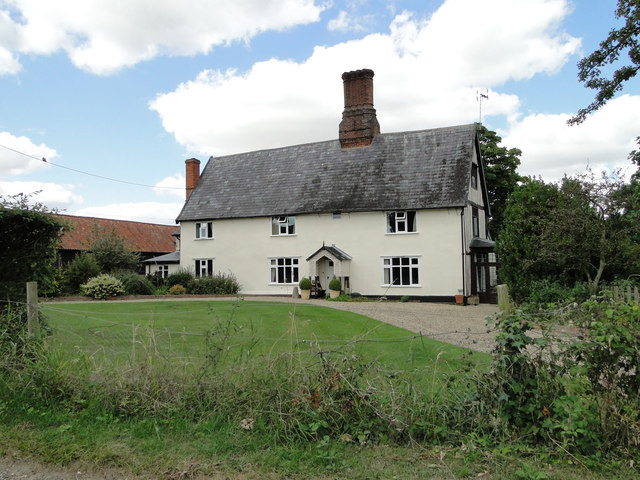
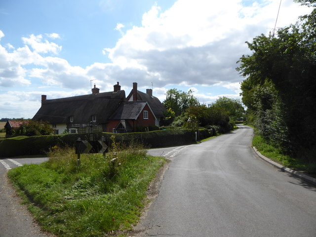
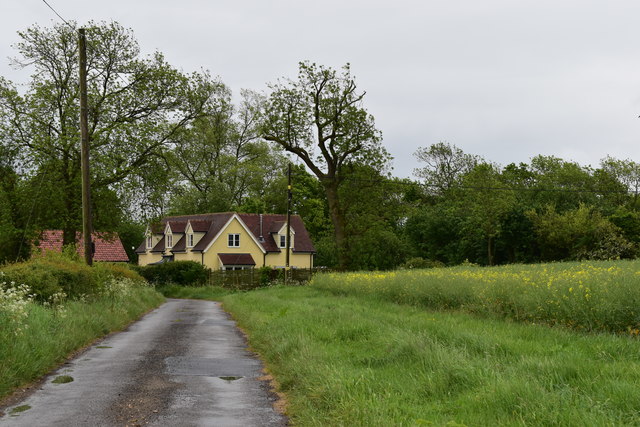
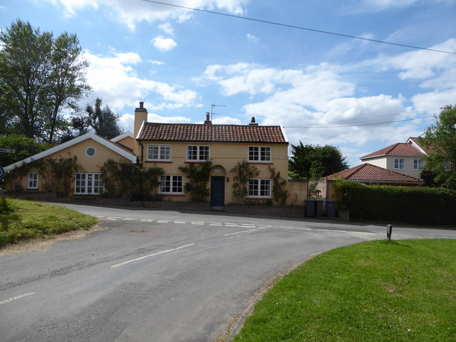
Kittle's Corner is a small village located in the county of Suffolk, England. Situated in the East Anglia region, the village is nestled amidst the picturesque countryside, offering stunning views and a tranquil atmosphere. It is part of the Mid Suffolk district and lies approximately 7 miles northeast of the town of Stowmarket.

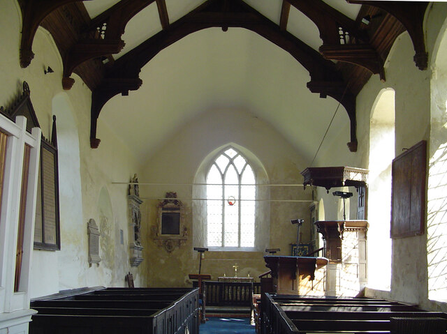
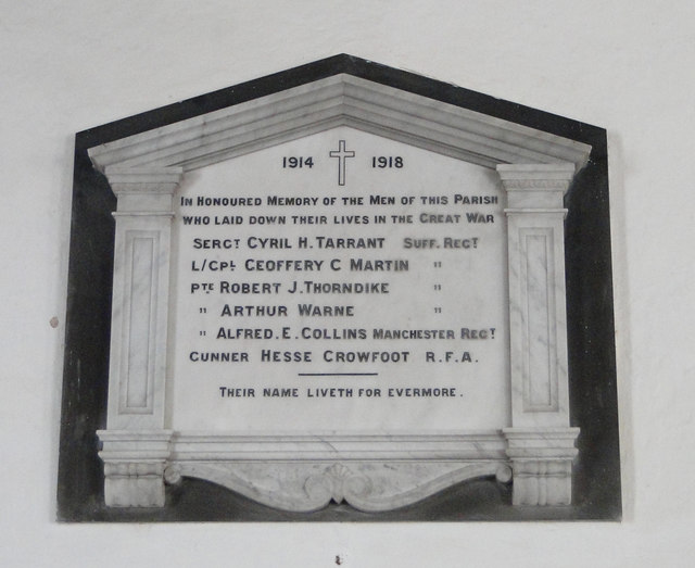
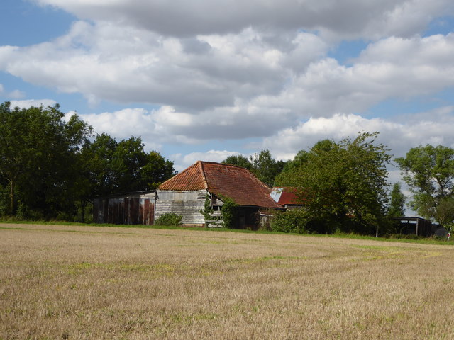
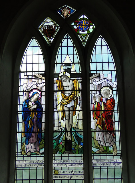
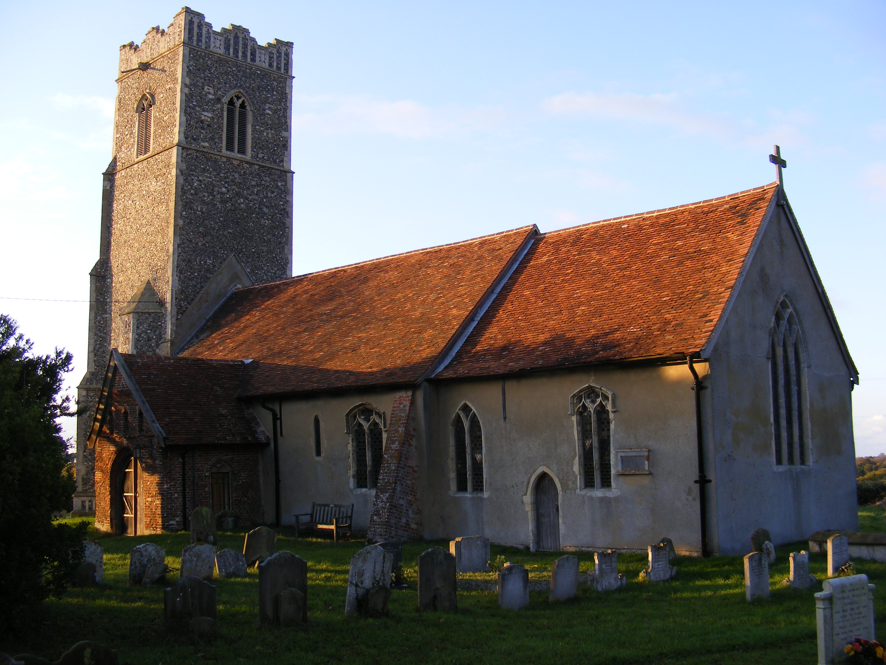
The origins of Kittle's Corner can be traced back to medieval times. The village is known for its rich history, and evidence of this can still be seen in the architecture of some of its buildings. The village church, St. Mary's, is a prominent feature, dating back to the 14th century and boasting beautiful stained glass windows.

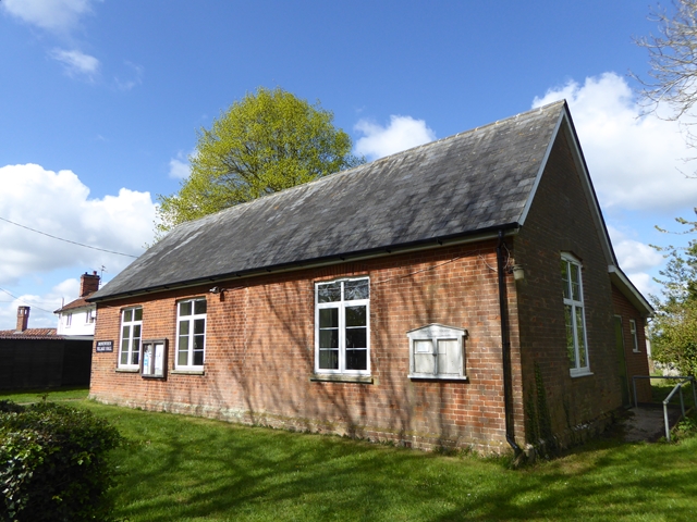
Despite its small size, Kittle's Corner offers a range of amenities for its residents and visitors. The village has a local pub, The Red Lion, which provides a friendly atmosphere and serves traditional English food and drinks. It also acts as a community hub, hosting various events and activities throughout the year.

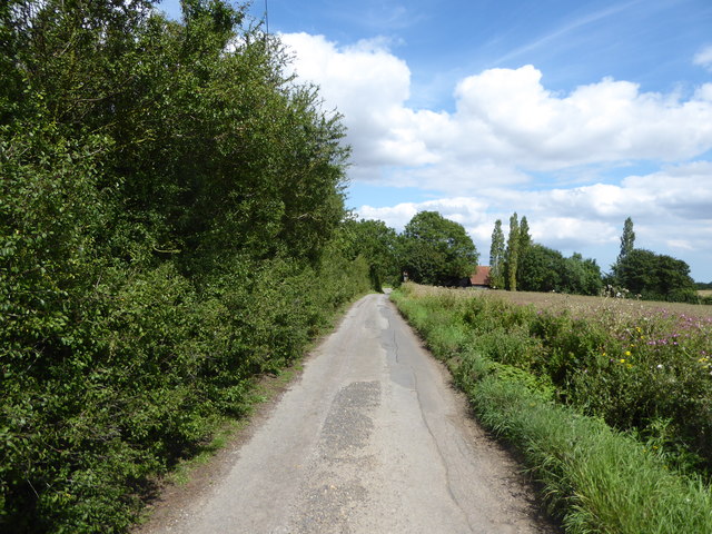
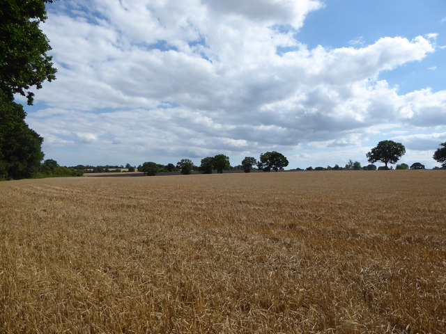
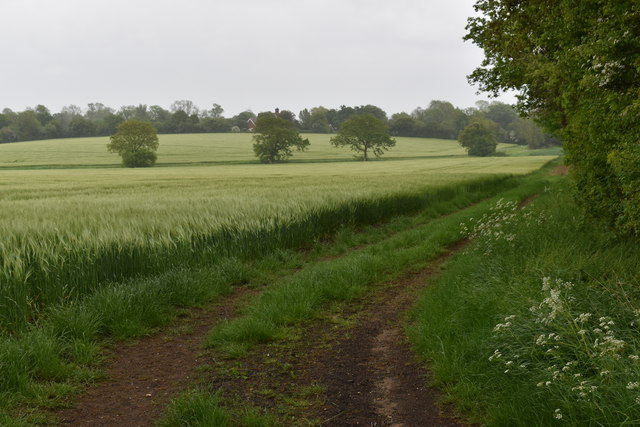
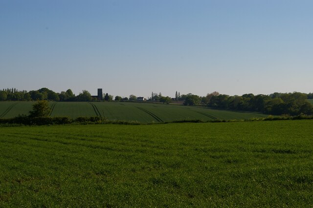
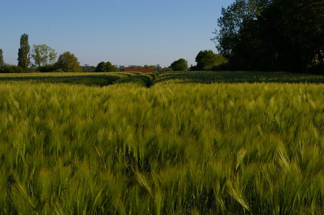
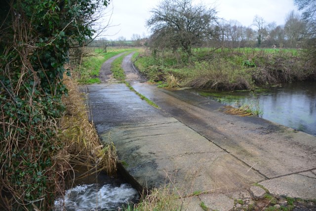
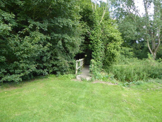
The surrounding countryside provides ample opportunities for outdoor activities, such as walking and cycling. The area is characterized by rolling hills, meandering rivers, and expansive fields, making it a popular destination for nature enthusiasts.

Access to Kittle's Corner is facilitated by the nearby A140 road, which connects the village to larger towns and cities in the region. The village is well-connected to public transportation, with regular bus services linking it to neighboring areas.

In summary, Kittle's Corner in Suffolk is a quaint village with a rich history and natural beauty. Its idyllic setting and community-focused atmosphere make it an attractive place for residents and visitors alike.

If you have any feedback on the listing, please let us know in the comments section below.

Kittle's Corner Images

Images are sourced within 2km of 52.189148/1.2587417 or Grid Reference TM2259. Thanks to Geograph Open Source API. All images are credited.

Cretingham St Peter's church, the chancel From the outside this charming little church at first glance looks cottage-like. The tower is 14th c. with battlements added by the Tudors, but the church is earlier. Here, in the chancel the battering of the walls is very apparent.
Cretingham St Peter's church, the chancel
From the outside this charming little church at first glance looks cottage-like. The tower is 14th c. with battlements added by the Tudors, but the church is earlier. Here, in the chancel the battering of the walls is very apparent.
The Chestnuts, Monewden
Monewden Village Hall
Monewden WW1 War Memorial The memorial records the names of the six men lost in the Great War.
Monewden WW1 War Memorial
The memorial records the names of the six men lost in the Great War.
Kittle's Corner
Kittle's Corner
Lane near Poplar Farm
View across the fields from Tabie's Wood
Harvesting with Monewden Church beyond
Barns at Chestnut Tree Farm
Farm track and barley field near Chapel Hill Looking east from the road near Hope Lodge, towards Shrubbery Farm.
Farm track and barley field near Chapel Hill
Looking east from the road near Hope Lodge, towards Shrubbery Farm.
Meadowview House Just off the road between Otley and Cretingham.
Meadowview House
Just off the road between Otley and Cretingham.
Monewden WW2 Memorial Window The east window behind the Altar is a memorial to four men killed in the Second World War. The text reads as follows: 
To the Glory of God in grateful memory of these who made the supreme sacrifice when serving in HM. Forces in the World War 1939 1945.
H J Bishop, R C L Bury, J H T Tarrant, R C Taylor.
Monewden WW2 Memorial Window
The east window behind the Altar is a memorial to four men killed in the Second World War. The text reads as follows: To the Glory of God in grateful memory of these who made the supreme sacrifice when serving in HM. Forces in the World War 1939 1945. H J Bishop, R C L Bury, J H T Tarrant, R C Taylor.
Monewden village sign The sign is surmounted by a crown and E II R, the dates 1952 and 1977 suggest the sign was erected for the silver jubilee of Queen Elizabeth II. The parish church St Mary is in the centre background with the path drawing the eye to a wheatsheaf representing the agricultural heritage of the village. Opposite, a large cartwheel, a reminder that once a wheelwright, Joshua Shulver and others who may have followed him were outstanding and worthy of inclusion on the village sign. <a title="https://www.geograph.org.uk/photo/4293426" href="https://www.geograph.org.uk/photo/4293426">Link</a>
Monewden village sign
The sign is surmounted by a crown and E II R, the dates 1952 and 1977 suggest the sign was erected for the silver jubilee of Queen Elizabeth II. The parish church St Mary is in the centre background with the path drawing the eye to a wheatsheaf representing the agricultural heritage of the village. Opposite, a large cartwheel, a reminder that once a wheelwright, Joshua Shulver and others who may have followed him were outstanding and worthy of inclusion on the village sign. Link
View south near Chestnut Tree Farm On the other side of the valley is Monewdon church.
View south near Chestnut Tree Farm
On the other side of the valley is Monewdon church.
Barley field near Corner Farm
Cretingham Ford This ford is found on the River Deben near Dove's Farm at Cretingham.
Cretingham Ford
This ford is found on the River Deben near Dove's Farm at Cretingham.
House in The Street, Cretingham
Footbridge on the path across Cretingham Golf Course
Show me another place!

Kittle's Corner is located at Grid Ref: TM2259 (Lat: 52.189148, Lng: 1.2587417)

Administrative County: Suffolk

District: East Suffolk

Police Authority: Suffolk

What 3 Words

///toothpick.umbrella.scoop. Near Debenham, Suffolk

Nearby Locations

Kittle's Corner

Related Wikis

Cretingham

Cretingham is a village and a civil parish in the East Suffolk district, in the English county of Suffolk. It is on the River Deben, 2 miles south off...

East Suffolk (county)

East Suffolk, along with West Suffolk, was created in 1888 as an administrative county of England. The administrative county was based on the eastern quarter...

High House Meadows, Monewden

High House Meadows, Monewden is a three hectare biological Site of Special Scientific Interest west of Monewden in Suffolk.These unimproved meadows have...
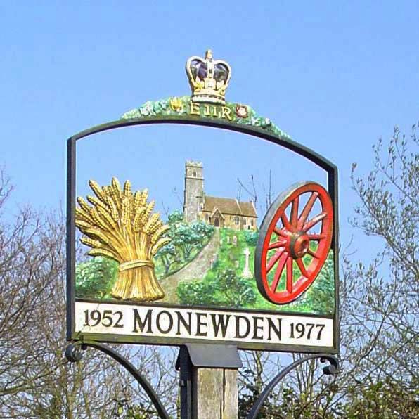
Monewden

Monewden ( MON-ə-dən) is a small village and a civil parish in the hundred of Loss (Also: Loes, Loose), in the East Suffolk District, in the English county...

Nearby Amenities

Located within 500m of 52.189148,1.2587417
Kirtles Corner
Junction: yes
Lat/Long: 52.1893301/1.2589448
Kittle's Corner
Place: hamlet
Lat/Long: 52.1888832/1.2585416
Bus Stop
Cretingham House
Local Ref: opp
Public Transport: platform
Lat/Long: 52.18932/1.2589887
Bus Stop
Cretingham House
Local Ref: adj
Public Transport: platform
Lat/Long: 52.1893455/1.2588673
The data included in this document is from www.openstreetmap.org. The data is made available under ODbL.

Have you been to Kittle's Corner?

Leave your review of Kittle's Corner below (or comments, questions and feedback).