Kitford

Settlement in Dorset

England

Kitford

Ibberton Ford This ford at Marsh Farm, Ibberton runs along the byway for about 50 metres.
Ibberton Ford Credit: John Walton

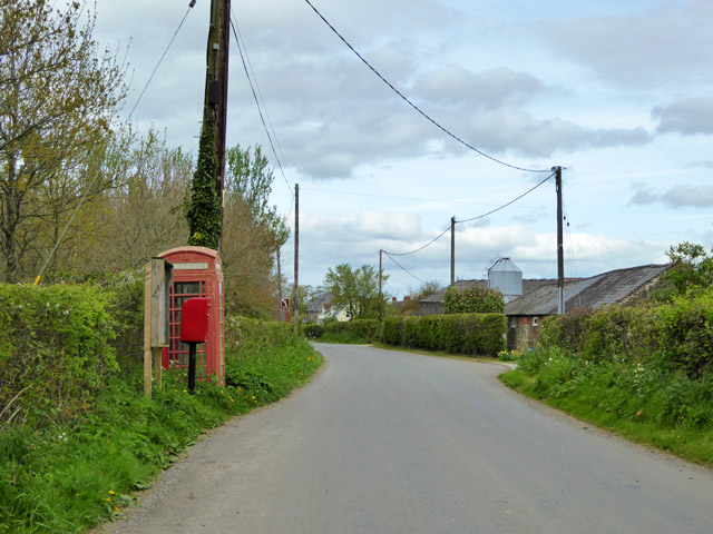
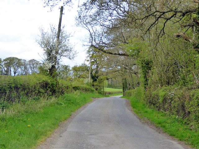
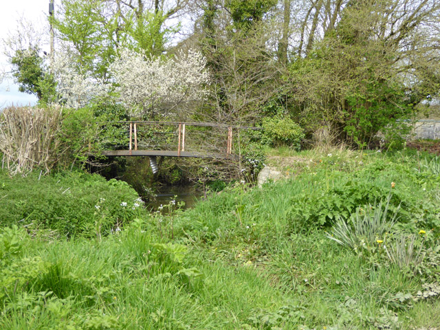
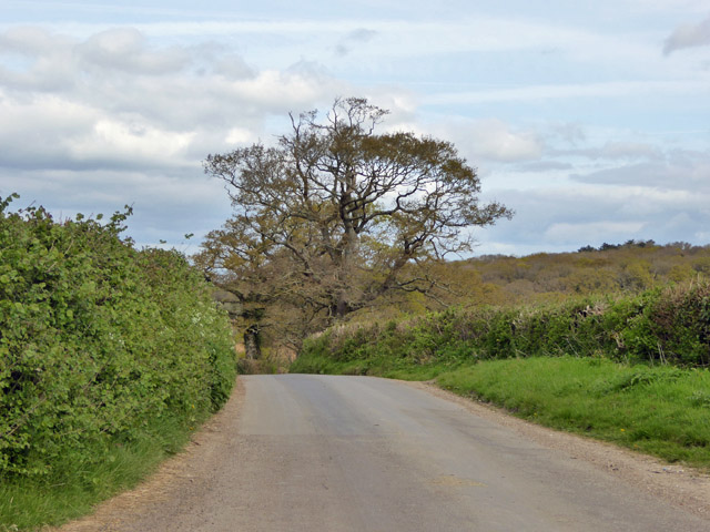
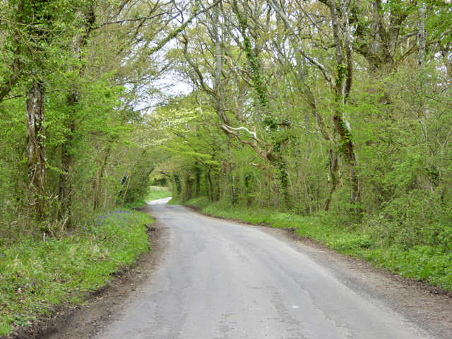
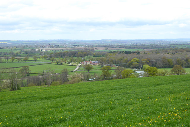
Kitford is a small village located in the county of Dorset, England. Situated in the picturesque countryside, it is nestled between rolling green hills and meandering streams, creating a serene and tranquil atmosphere for its residents and visitors alike.

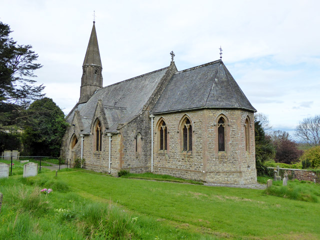
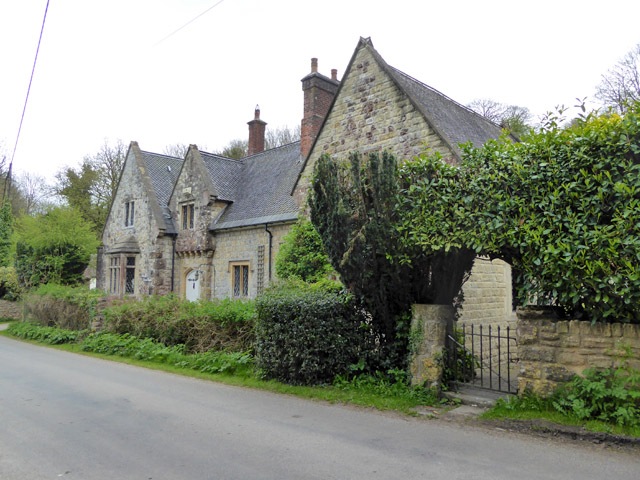
With a population of around 500 people, Kitford has a close-knit community that is known for its welcoming and friendly nature. The village is characterized by its charming thatched-roof cottages, which add to its traditional English countryside appeal. The local church, St. Mary's, dating back to the 12th century, stands proudly in the heart of the village and serves as a reminder of its rich history.

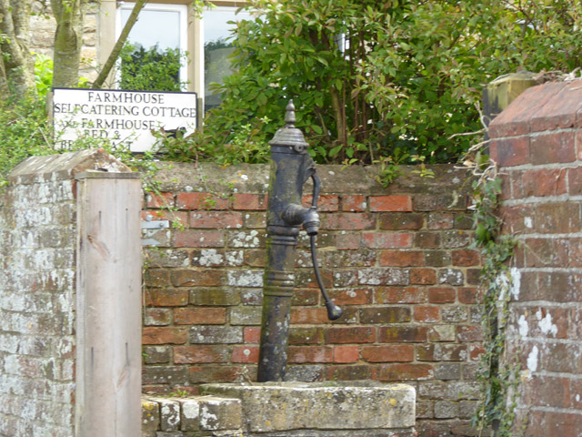
Although small in size, Kitford offers a range of amenities to its residents. The village has a primary school, a village hall, a post office, and a local pub, The Red Lion, which acts as a social hub for the community. The pub serves traditional English food and is known for its cozy atmosphere and warm hospitality.

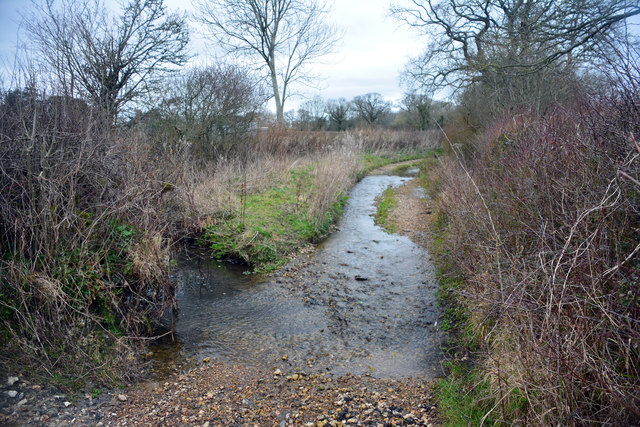
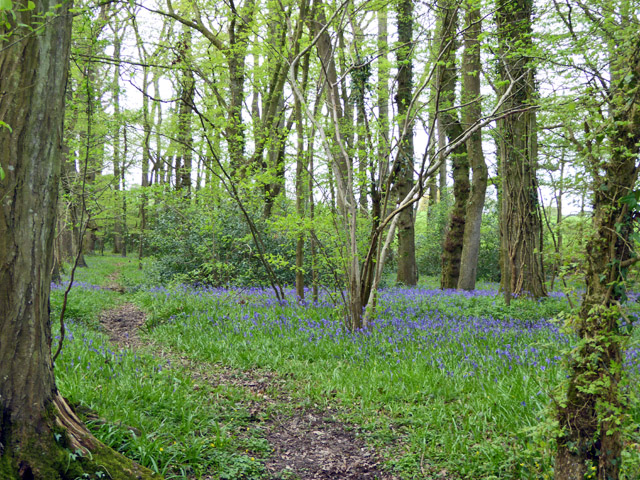
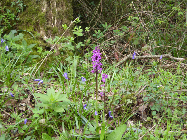
Nature lovers are drawn to Kitford for its idyllic surroundings. The village is surrounded by acres of lush green fields, making it an ideal location for countryside walks and outdoor activities. The nearby Kitford Woods provide a peaceful retreat, with their ancient trees and diverse wildlife.

Overall, Kitford offers a peaceful and picturesque lifestyle for its residents, while also attracting visitors with its natural beauty and charming village atmosphere.

If you have any feedback on the listing, please let us know in the comments section below.
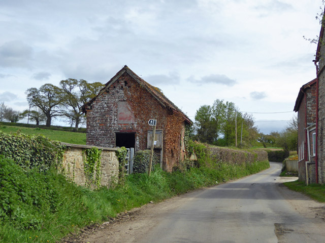
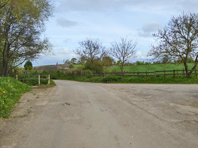
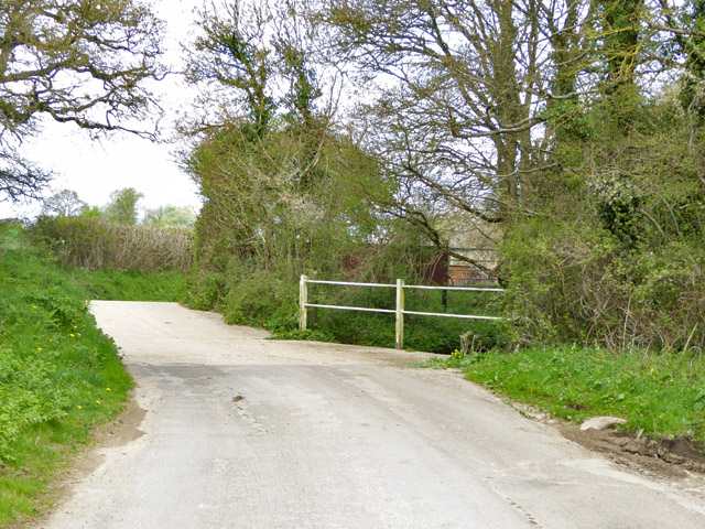
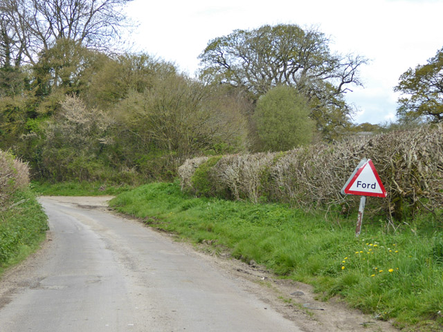
Kitford Images

Images are sourced within 2km of 50.878979/-2.3184096 or Grid Reference ST7708. Thanks to Geograph Open Source API. All images are credited.

Ibberton Ford This ford at Marsh Farm, Ibberton runs along the byway for about 50 metres.
Ibberton Ford
This ford at Marsh Farm, Ibberton runs along the byway for about 50 metres.
Woolland church A grade II listed building, about 1857. 'Unknown dedication' - odd for such a late church, surely someone must know.
Woolland church
A grade II listed building, about 1857. 'Unknown dedication' - odd for such a late church, surely someone must know.
Notice board, postbox, telephone box, Woolland Across the road from Skinners Farm.
Notice board, postbox, telephone box, Woolland
Across the road from Skinners Farm.
Lane north from Woolland Heading towards Fifehead St. Quintin.
Lane north from Woolland
Heading towards Fifehead St. Quintin.
Bluebells, Fudge Copse
Footbridge over River Divelish Across the road from Lower Fifehead Farm.
Footbridge over River Divelish
Across the road from Lower Fifehead Farm.
Old pump, Lower Fifehead Farm
Crate Hill Heading north.
Crate Hill
Heading north.
Small disused building, Lower Fifehead Farm Purpose unknown. A notice board outside looks like a parish outpost board for official notices, but that looks disused as well.
Small disused building, Lower Fifehead Farm
Purpose unknown. A notice board outside looks like a parish outpost board for official notices, but that looks disused as well.
Crossing of River Divelish, Fifehead St Quintin The river passes under the road via a long diagonal culvert. It looks like it may flow over the road in really wet times, but no ford is mapped here, and there is no footbridge. Older maps do show a ford and footbridge.
Crossing of River Divelish, Fifehead St Quintin
The river passes under the road via a long diagonal culvert. It looks like it may flow over the road in really wet times, but no ford is mapped here, and there is no footbridge. Older maps do show a ford and footbridge.
'Ford' south of Fifehead St. Quintin No longer mapped as such, although an overgrown footbridge is off to the left and the road still has a 'Ford' sign. It probably does flood over in really wet times.
'Ford' south of Fifehead St. Quintin
No longer mapped as such, although an overgrown footbridge is off to the left and the road still has a 'Ford' sign. It probably does flood over in really wet times.
Ford ahead on lane to Fifehead St Quintin It turned out to be a disappointment - the stream went under the road and looked as if it had gone that way for a considerable time.
Ford ahead on lane to Fifehead St Quintin
It turned out to be a disappointment - the stream went under the road and looked as if it had gone that way for a considerable time.
Laneside Early Purple Orchids Beating the bluebells into good flower, as is normally the case.
Laneside Early Purple Orchids
Beating the bluebells into good flower, as is normally the case.
Lane towards Fifehead St Quintin A stretch with interesting woodland flora.
Lane towards Fifehead St Quintin
A stretch with interesting woodland flora.
The Old School, Woolland A grade II listed building, from about 1850.
The Old School, Woolland
A grade II listed building, from about 1850.
View north-west from hill above Woolland Looking towards Dairy House Farm.
View north-west from hill above Woolland
Looking towards Dairy House Farm.
War Memorial, Ibberton Church Porch
Ibberton Churchyard: early September 2018
Show me another place!

Kitford is located at Grid Ref: ST7708 (Lat: 50.878979, Lng: -2.3184096)

Unitary Authority: Dorset

Police Authority: Dorset

What 3 Words

///essay.window.fractions. Near Sturminster Newton, Dorset

Nearby Locations

Kitford Kitford Copse

Related Wikis

Ibberton

Ibberton is a village and civil parish in the county of Dorset in southern England. It is situated in the Blackmore Vale under the scarp face of the Dorset...

Belchalwell

Belchalwell is a small village and former civil parish, now in the parish of Okeford Fitzpaine in the Blackmore Vale, in the Dorset district, in the ceremonial...

St Aldhelm's Church, Belchalwell

St Aldhelm's Church is a Grade II* listed Anglican church in the village of Belchalwell, Dorset. It is in the ecclesiastical parish of Belchalwell, which...

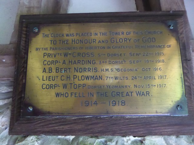
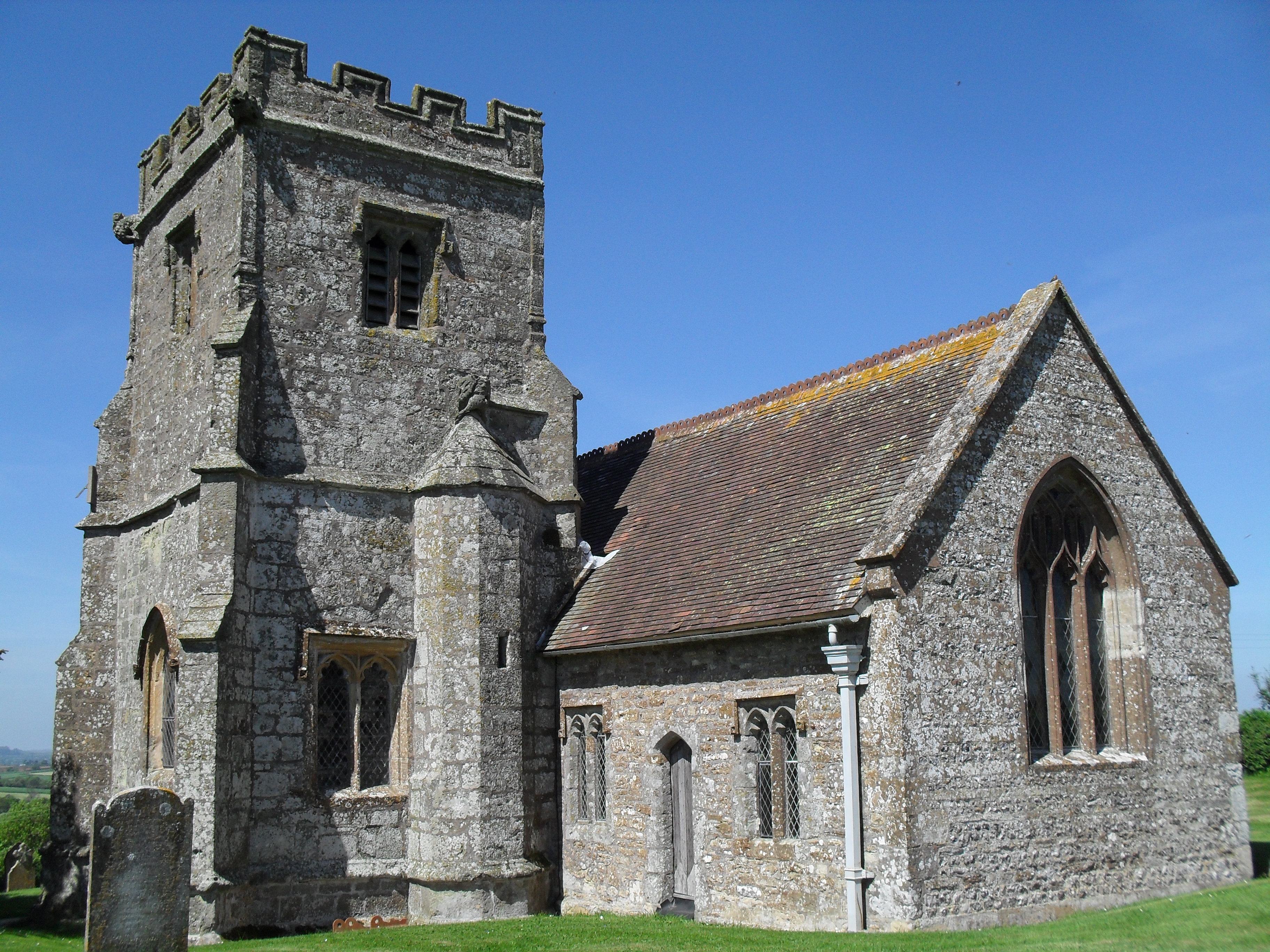
Church of St Eustace, Ibberton

The Parish Church of St Eustace is a Grade II* listed Anglican church in the village of Ibberton, Dorset. It stands to the south of the village, on a steep...

Nearby Amenities

Located within 500m of 50.878979,-2.3184096
Ford: yes
Lat/Long: 50.8789718/-2.3179497
Ford: yes
Lat/Long: 50.8789747/-2.3181383
The data included in this document is from www.openstreetmap.org. The data is made available under ODbL.

Have you been to Kitford?

Leave your review of Kitford below (or comments, questions and feedback).