Kitford Copse
Wood, Forest in Dorset
England
Kitford Copse
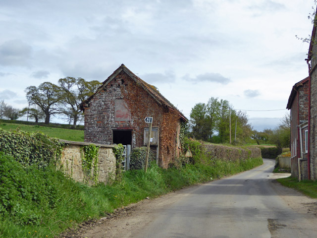
Kitford Copse is a picturesque woodland located in the county of Dorset, England. Spanning over an area of approximately 100 acres, this ancient forest is a haven for nature enthusiasts and offers a tranquil escape from the hustle and bustle of everyday life.
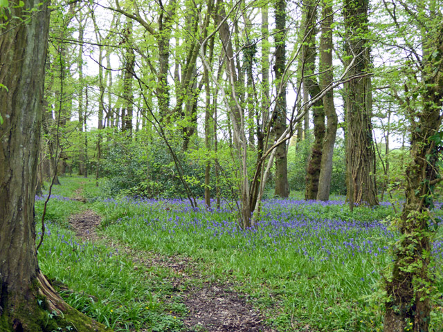
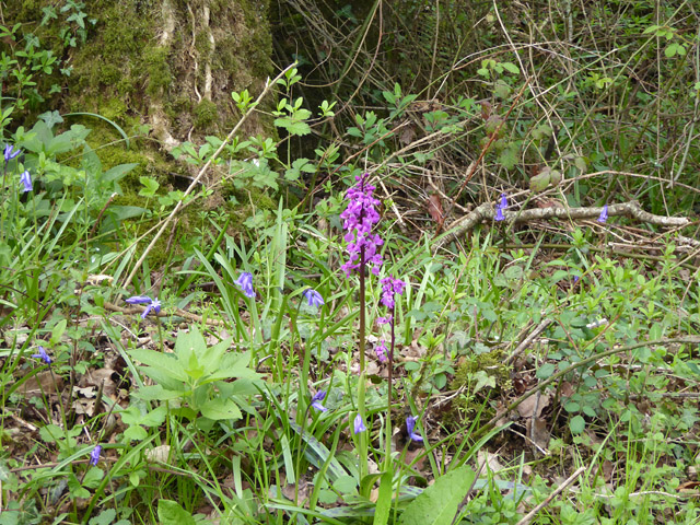
The copse is predominantly composed of broadleaf trees, including oak, beech, and ash, which create a dense canopy overhead, providing shade and shelter for a variety of wildlife. The forest floor is covered in a lush carpet of ferns, wildflowers, and mosses, creating a vibrant and enchanting atmosphere.
Walking through Kitford Copse, visitors can observe a diverse range of flora and fauna. The woodland is home to numerous bird species, such as woodpeckers, nightingales, and owls, which can be heard chirping and hooting throughout the day. Squirrels can be spotted darting through the trees, while deer and foxes occasionally make appearances, adding to the sense of natural beauty and wilderness.
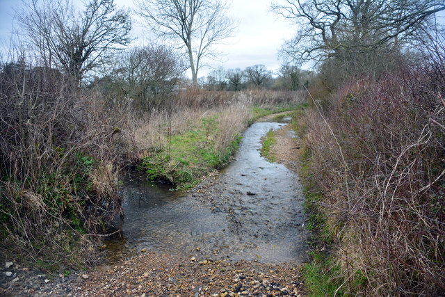
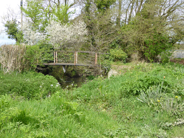
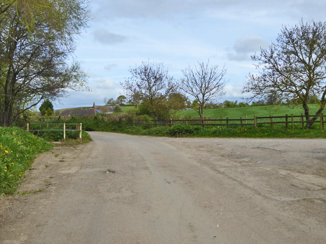
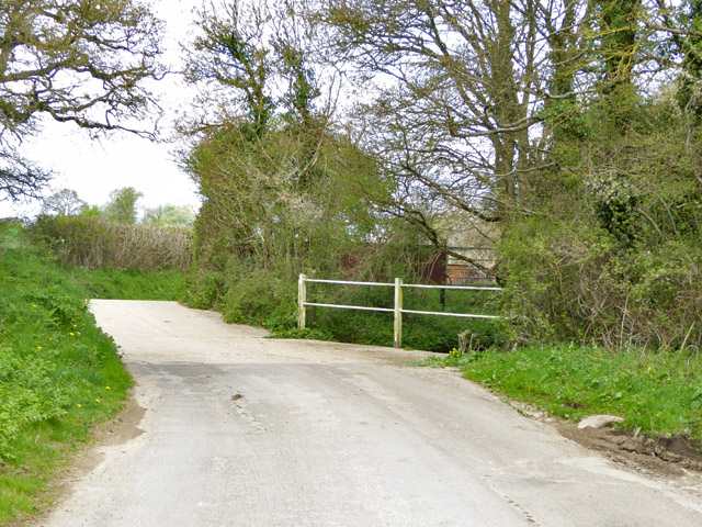
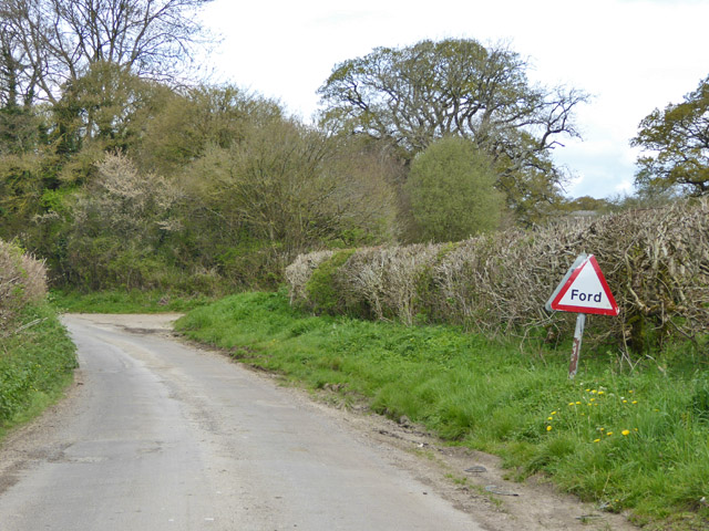
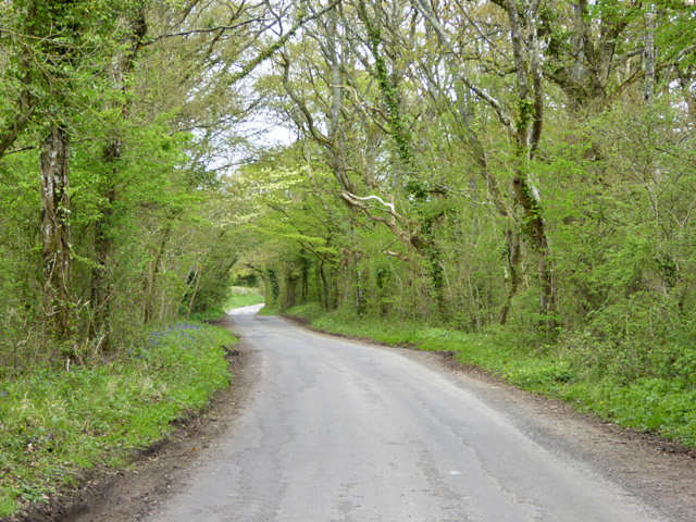
Tranquil streams and small ponds can also be found within the copse, adding to its charm and providing a habitat for amphibians and aquatic creatures. Several well-maintained footpaths wind their way through the forest, offering visitors the opportunity to explore its natural wonders and experience the therapeutic benefits of being surrounded by nature.
Kitford Copse is a popular destination for nature walks, photography, and birdwatching. It is managed by the local authorities to ensure its preservation and accessibility for the enjoyment of both locals and tourists alike. With its idyllic setting and abundance of natural wonders, Kitford Copse is a true gem in the Dorset countryside.
If you have any feedback on the listing, please let us know in the comments section below.
Kitford Copse Images
Images are sourced within 2km of 50.879666/-2.3202195 or Grid Reference ST7708. Thanks to Geograph Open Source API. All images are credited.
Kitford Copse is located at Grid Ref: ST7708 (Lat: 50.879666, Lng: -2.3202195)
Unitary Authority: Dorset
Police Authority: Dorset
What 3 Words
///pining.wolves.ports. Near Sturminster Newton, Dorset
Nearby Locations
Related Wikis

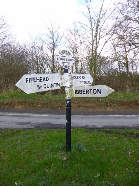
Ibberton
Ibberton is a village and civil parish in the county of Dorset in southern England. It is situated in the Blackmore Vale under the scarp face of the Dorset...
Belchalwell
Belchalwell is a small village and former civil parish, now in the parish of Okeford Fitzpaine in the Blackmore Vale, in the Dorset district, in the ceremonial...

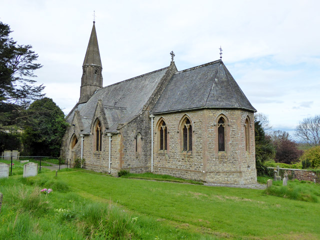
St Aldhelm's Church, Belchalwell
St Aldhelm's Church is a Grade II* listed Anglican church in the village of Belchalwell, Dorset. It is in the ecclesiastical parish of Belchalwell, which...

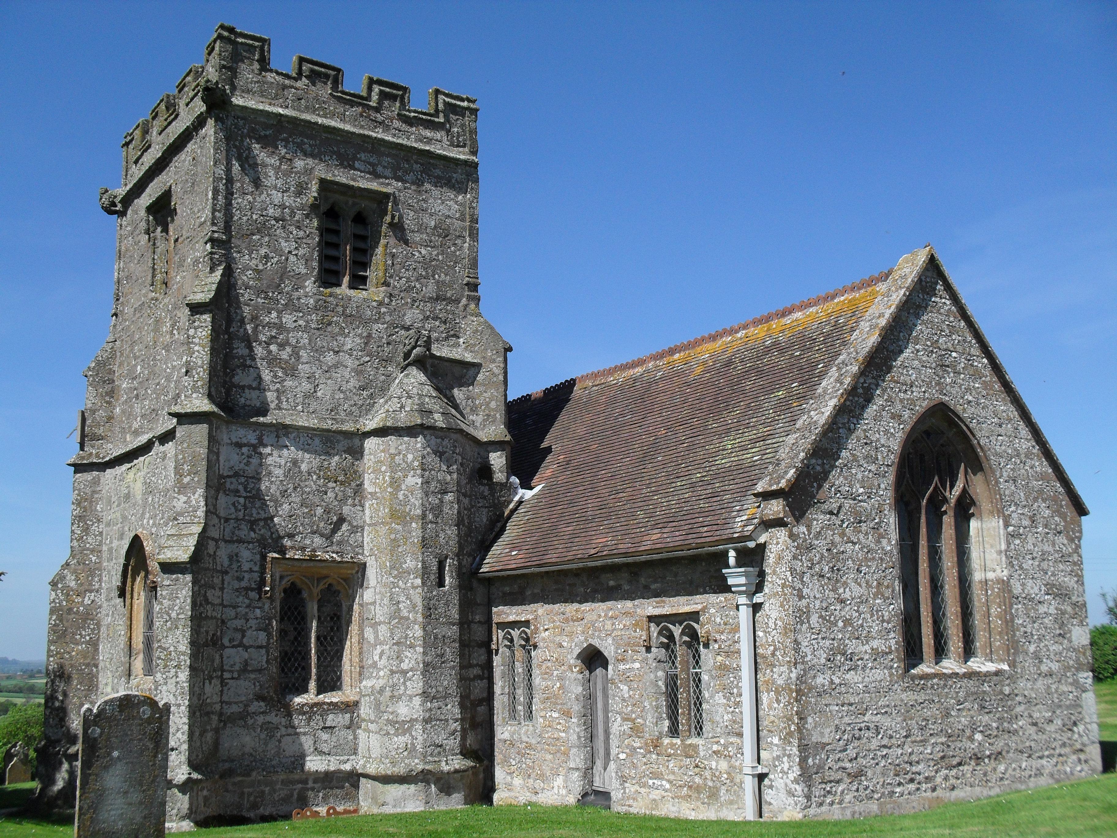
Church of St Eustace, Ibberton
The Parish Church of St Eustace is a Grade II* listed Anglican church in the village of Ibberton, Dorset. It stands to the south of the village, on a steep...

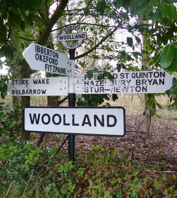
Woolland
Woolland is a village and civil parish in north Dorset, England, situated in the Blackmore Vale under Bulbarrow Hill 7 miles (11 km) west of Blandford...

Belchalwell Street
Belchalwell Street is a village in Dorset, England, at the foot of Bell Hill, generally included in the village of Belchalwell. == External links == Belchalwell

Fifehead Neville
Fifehead Neville is a village and civil parish in the county of Dorset in southern England, situated in the Blackmore Vale about two miles (three kilometres...

Bell Hill, Dorset
At 258 metres, Bell Hill is one of the highest hills in the county of Dorset, England and a high point on the Wessex Ridgeway. == Location == Bell Hill...
Nearby Amenities
Located within 500m of 50.879666,-2.3202195Have you been to Kitford Copse?
Leave your review of Kitford Copse below (or comments, questions and feedback).