Deansbridge Covert

Wood, Forest in Staffordshire Stafford

England

Deansbridge Covert

Shropshire Union Canal View from the High Bridge.
Shropshire Union Canal Credit: Richard Webb

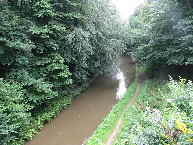
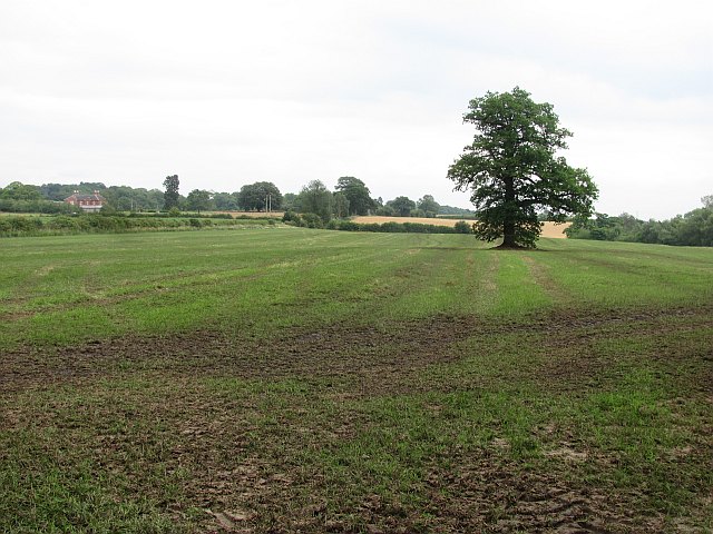
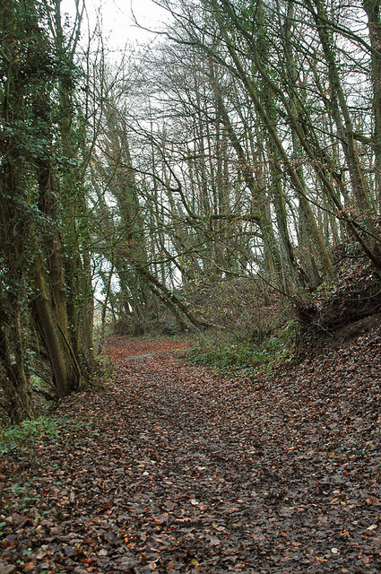
Deansbridge Covert is a picturesque woodland located in Staffordshire, England. Covering an area of approximately 100 acres, it is a popular destination for nature lovers and outdoor enthusiasts. The woodland is characterized by a dense canopy of trees, predominantly oak and beech, which create a tranquil and enchanting atmosphere.

The diverse ecosystem of Deansbridge Covert supports a wide variety of flora and fauna. Bluebells, primroses, and wild garlic carpet the forest floor during spring, providing a colorful display. The woodland is also home to several bird species, including woodpeckers, nuthatches, and owls, making it a haven for birdwatchers.

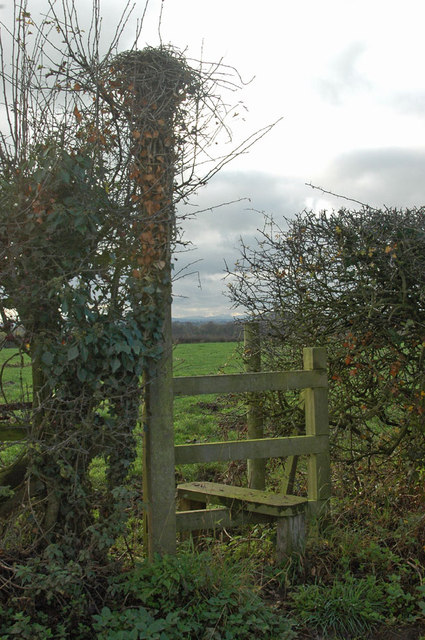
Visitors to Deansbridge Covert can explore its network of well-maintained footpaths and trails. These paths wind through the forest, offering stunning views and glimpses of wildlife along the way. The woodland also features a small pond, providing a habitat for frogs, newts, and other aquatic creatures.

The tranquility and natural beauty of Deansbridge Covert make it an ideal location for family picnics, leisurely walks, and nature photography. The woodland is well-preserved, with efforts made to maintain its biodiversity and protect its delicate ecosystem.

Deansbridge Covert is easily accessible, located just a short distance from the nearest town. It offers ample parking facilities and has designated areas for picnickers and nature enthusiasts. Whether for a peaceful stroll or a day spent exploring, Deansbridge Covert is a hidden gem within Staffordshire's natural landscape.

If you have any feedback on the listing, please let us know in the comments section below.

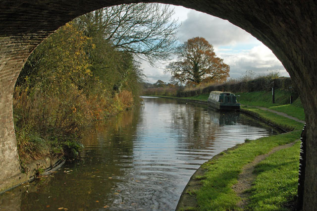
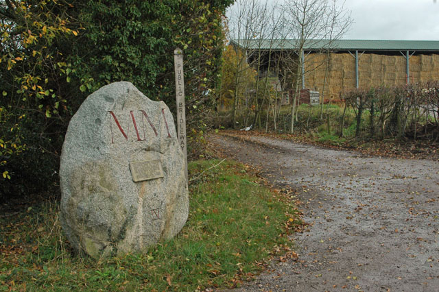
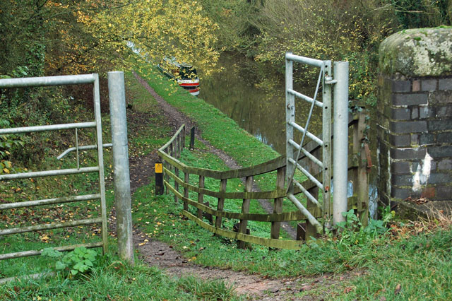
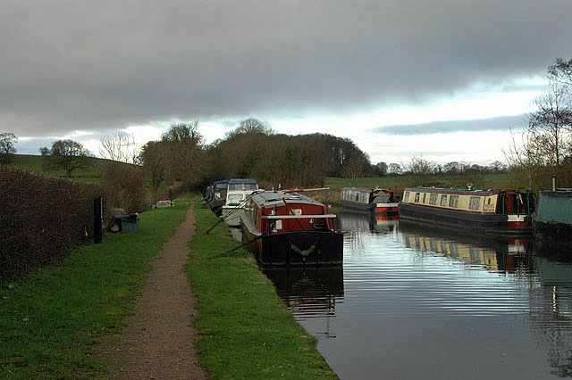
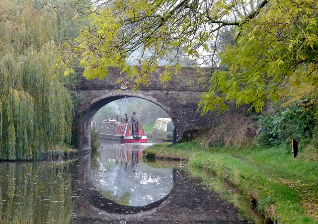
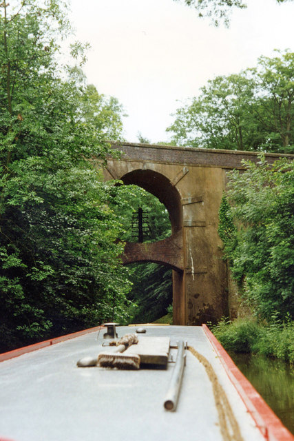
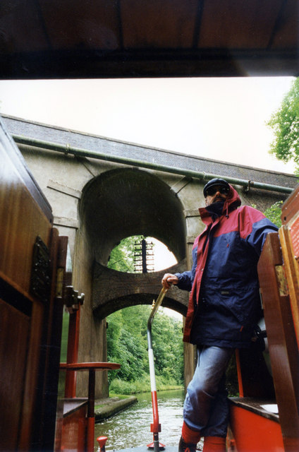
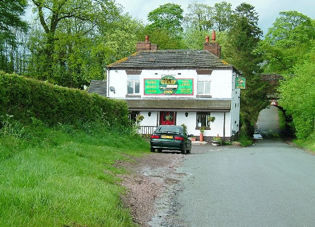
Deansbridge Covert Images

Images are sourced within 2km of 52.812794/-2.3340421 or Grid Reference SJ7723. Thanks to Geograph Open Source API. All images are credited.

Shropshire Union Canal View from the High Bridge.
Shropshire Union Canal
View from the High Bridge.
A muddy field Silage has just been taken off this field, and vehicle movements have made things muddy. A lone tree in the middle of a field is often a sign that there was once a hedge there.
A muddy field
Silage has just been taken off this field, and vehicle movements have made things muddy. A lone tree in the middle of a field is often a sign that there was once a hedge there.
Stile on footpath to Leawood
Roadside 'greasy spoon' Look closely at the person in the 'cafe' and you will see him providing an unusual 'welcome' sign. I was going to purchase a buttie but not after that 'comment'.
Roadside 'greasy spoon'
Look closely at the person in the 'cafe' and you will see him providing an unusual 'welcome' sign. I was going to purchase a buttie but not after that 'comment'.
The Shroppie at the Anchor
A 'Millennium Stone' on Grubb Street
Gateway to the Shroppie
Shropshire Union Canal - just north of Norbury
Woodland near the Shropshire Union Canal
Arable fields east of Norbury, Staffordshire Seen from the Shropshire Union Canal, the woodland ahead is Little Campions; that by the right edge is Moat Covert.
Arable fields east of Norbury, Staffordshire
Seen from the Shropshire Union Canal, the woodland ahead is Little Campions; that by the right edge is Moat Covert.
Arable fields east of Norbury, Staffordshire Seen from the Shropshire Union Canal, the woodland at the right edge is known as Little Campions. Straight ahead and more distant are Gorsey Covert and Ball's Rough, on the skyline.
Arable fields east of Norbury, Staffordshire
Seen from the Shropshire Union Canal, the woodland at the right edge is known as Little Campions. Straight ahead and more distant are Gorsey Covert and Ball's Rough, on the skyline.
The north bar at the Anchor Inn, High Offley This legendary canalside public house has its two front rooms as bars, the rest of the building being the landlady's living accommodation. As can be seen here, the actual serving counter is very small (the same as in the other room), but has space for the recently installed hand pump for serving the Wadworth's 6x; until recently Olive (shown here) would fetch a jug of beer from the cellar and decant it into glasses - she still tops up using the jug, so you get a "full pint" of ale. There is also room on the bar for another pump which I believe dispenses a very cold liquid. There are two similar pumps in the other bar which has been redecorated recently.

Update: The Anchor was forced to close in 2020-21 because of the impossibility of operating indoor "social distancing" during during the Covid-19 pandemic.

Update: Olive Cliff, the landlady for over fifty years, passed away on 28 April 2021. Elaine will be reopening the pub after Covid-19 restrictions are lifted.

<a href="https://www.geograph.org.uk/photo/1394162">SJ7725 : The Anchor Inn at High Offley, Staffordshire</a>
<a href="https://www.geograph.org.uk/photo/1598513">SJ7725 : The Anchor Inn at High Offley, Staffordshire</a>
<a href="https://www.geograph.org.uk/photo/547982">SJ7725 : Floral narrowboat, The Anchor Inn, High Offley, Staffordshire</a>
<a href="https://www.geograph.org.uk/photo/547978">SJ7725 : A Floral Anchor Inn, High Offley, Staffordshire</a>
The north bar at the Anchor Inn, High Offley
This legendary canalside public house has its two front rooms as bars, the rest of the building being the landlady's living accommodation. As can be seen here, the actual serving counter is very small (the same as in the other room), but has space for the recently installed hand pump for serving the Wadworth's 6x; until recently Olive (shown here) would fetch a jug of beer from the cellar and decant it into glasses - she still tops up using the jug, so you get a "full pint" of ale. There is also room on the bar for another pump which I believe dispenses a very cold liquid. There are two similar pumps in the other bar which has been redecorated recently. Update: The Anchor was forced to close in 2020-21 because of the impossibility of operating indoor "social distancing" during during the Covid-19 pandemic. Update: Olive Cliff, the landlady for over fifty years, passed away on 28 April 2021. Elaine will be reopening the pub after Covid-19 restrictions are lifted. SJ7725 : The Anchor Inn at High Offley, Staffordshire SJ7725 : The Anchor Inn at High Offley, Staffordshire SJ7725 : Floral narrowboat, The Anchor Inn, High Offley, Staffordshire SJ7725 : A Floral Anchor Inn, High Offley, Staffordshire
Anchor Bridge near High Offley, Staffordshire Beyond the Bridge (No 42) across the Shropshire Union Canal is the renowned and antiquated Anchor Inn. Use it while you can. Too many of these little gems close down through lack of patronage (and various other government fueled discouragements)!
Anchor Bridge near High Offley, Staffordshire
Beyond the Bridge (No 42) across the Shropshire Union Canal is the renowned and antiquated Anchor Inn. Use it while you can. Too many of these little gems close down through lack of patronage (and various other government fueled discouragements)!
High Bridge 39 Shropshire Union Canal The Shropshire Union Canal (from Autherley to Nantwich) was engineered by Thomas Telford and opened in 1835. There are long straight sections of this canal which required either embankments or cuttings to avoid the need for locks. Although this was a more difficult procedure, the end route was shorter and the progress for horse drawn working boats could be maintained with (hopefully) no stoppages. The canal (formerly the Birmingham and Liverpool Junction Canal) was opened at a time when railways were making serious inroads into the canal companies' businesses. 

The current Shroppie north of Nantwich was formerly the Chester Canal, opened in 1779, and has wider locks and bridges. Boats up to nine feet in beam can still navigate this section; Telford's canal accommodates only narrowboats up to seven feet in beam.
High Bridge 39 Shropshire Union Canal
The Shropshire Union Canal (from Autherley to Nantwich) was engineered by Thomas Telford and opened in 1835. There are long straight sections of this canal which required either embankments or cuttings to avoid the need for locks. Although this was a more difficult procedure, the end route was shorter and the progress for horse drawn working boats could be maintained with (hopefully) no stoppages. The canal (formerly the Birmingham and Liverpool Junction Canal) was opened at a time when railways were making serious inroads into the canal companies' businesses. The current Shroppie north of Nantwich was formerly the Chester Canal, opened in 1779, and has wider locks and bridges. Boats up to nine feet in beam can still navigate this section; Telford's canal accommodates only narrowboats up to seven feet in beam.
High Bridge near Norbury, Staffordshire Shropshire Union Canal.
This strange looking bridge (No 39) is in Grub Street cutting, and carries the A519 between Newport and Eccleshall. This is yet another of the many cuttings (linked by long embankments) that Thomas Telford engineered in order to build his canal as straight as possible with as few locks as possible, thus allowing working boats the least delay possible as they attempted to combat the growing competition from the railways in the mid 1830s when this canal was opened.
High Bridge near Norbury, Staffordshire
Shropshire Union Canal. This strange looking bridge (No 39) is in Grub Street cutting, and carries the A519 between Newport and Eccleshall. This is yet another of the many cuttings (linked by long embankments) that Thomas Telford engineered in order to build his canal as straight as possible with as few locks as possible, thus allowing working boats the least delay possible as they attempted to combat the growing competition from the railways in the mid 1830s when this canal was opened.
Farmland north-east of Norbury, Staffordshire Seen from the Shropshire Union Canal.
Farmland north-east of Norbury, Staffordshire
Seen from the Shropshire Union Canal.
Show me another place!

Deansbridge Covert is located at Grid Ref: SJ7723 (Lat: 52.812794, Lng: -2.3340421)

Administrative County: Staffordshire

District: Stafford

Police Authority: Staffordshire

What 3 Words

///delays.flushed.pedicure. Near Chetwynd, Shropshire

Related Wikis

Norbury, Staffordshire

Norbury is a village and civil parish in the Borough of Stafford, in west Staffordshire, England. The population as taken at the 2011 census was 371.It...

Loynton

Loynton is a hamlet on the A519 near the villages of Norbury, and Woodseaves in Staffordshire, England. It lies in the civil parish of Norbury. Loynton...

Loynton Moss

Loynton Moss is a nature reserve of the Staffordshire Wildlife Trust, near the village of Woodseaves, in Staffordshire, England. It is adjacent to the...

Norbury Junction

Norbury Junction (grid reference SJ793228) is a hamlet and former canal junction which lies about 1 mile (1.6 km) to the south east of Norbury, in Staffordshire...

Gnosall Rural District

Gnosall was a rural district in Staffordshire, England from 1894 to 1934. It was formed under the Local Government Act 1894 from that part of the Newport...

High Offley

High Offley is a small village and civil parish in Staffordshire, England. It lies 3 miles southwest of the small town of Eccleshall and about 1 mile west...

Shebdon

Shebdon is a hamlet in the county of Staffordshire, England. It is part of the parish of High Offley, a small village approximately 1.5 miles to the ENE...

Woodseaves

Woodseaves is a village in Staffordshire, England. It lies in the civil parish of High Offley and is situated on the A519 (Newport-Newcastle-under-Lyme...

Nearby Amenities

Located within 500m of 52.812794,-2.3340421
Cafe
Tickled Trout
Alt Name: Loynton Estate Coffee & Tea Rooms
Lat/Long: 52.8134932/-2.3296192
Give Way
Direction: backward
Lat/Long: 52.809199/-2.3332674
The data included in this document is from www.openstreetmap.org. The data is made available under ODbL.

Have you been to Deansbridge Covert?

Leave your review of Deansbridge Covert below (or comments, questions and feedback).