Kirkton of Airlie

Settlement in Angus

Scotland

Kirkton of Airlie

Rapids on the River Isla Just upstream from Dillavaird Bridge, the River Isla flows through a most spectacular gorge.
Rapids on the River Isla Credit: Oliver Dixon

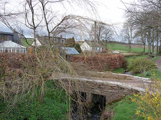
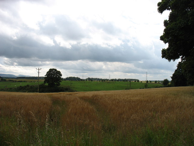
Kirkton of Airlie is a small village located in the Angus region of Scotland. It is situated near the town of Kirriemuir and is surrounded by picturesque countryside and farmland. The village is known for its charming rural setting and historic buildings, including the Airlie Castle which dates back to the 16th century.

Kirkton of Airlie has a close-knit community and a peaceful atmosphere, making it an ideal place for those looking to escape the hustle and bustle of city life. The village is also home to a number of local amenities, including a primary school, a church, and a village hall.

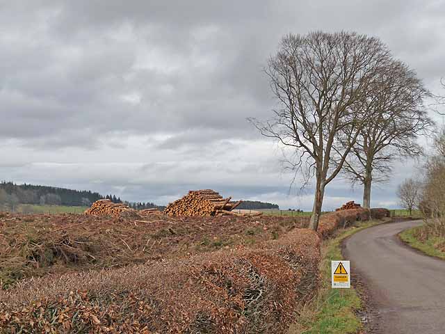
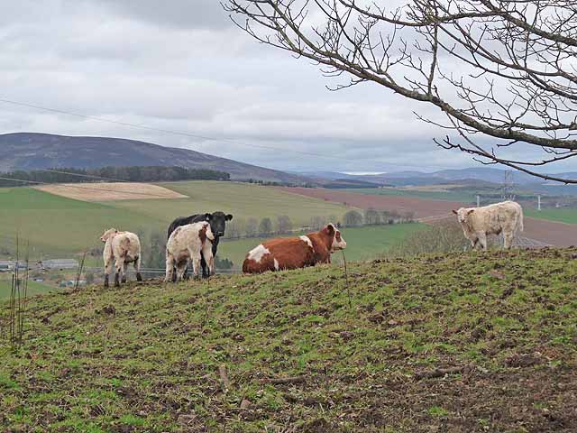
Visitors to Kirkton of Airlie can enjoy exploring the surrounding countryside, with plenty of walking and cycling routes to choose from. The village is also conveniently located for exploring the wider Angus region, with attractions such as Glamis Castle and the Angus Glens within easy reach.

Overall, Kirkton of Airlie offers a tranquil and idyllic setting for those seeking a rural retreat in the heart of Scotland.

If you have any feedback on the listing, please let us know in the comments section below.

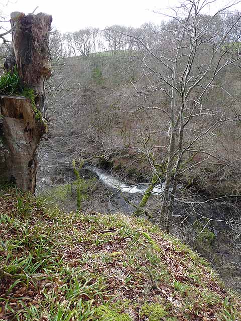
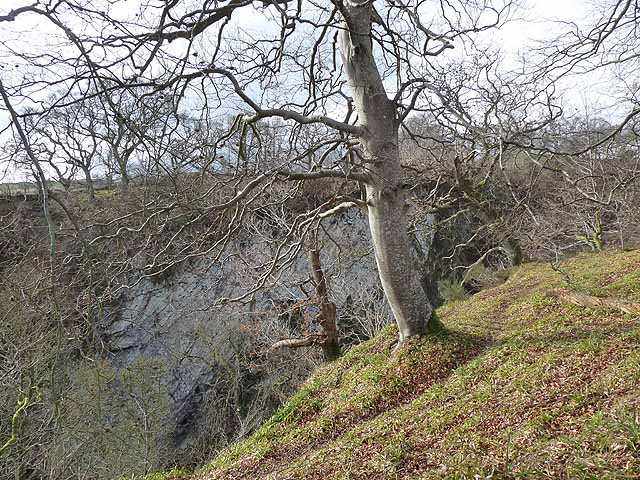
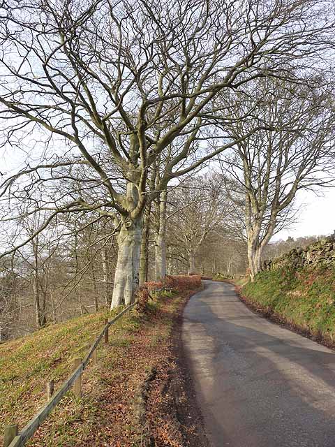
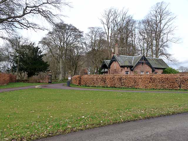
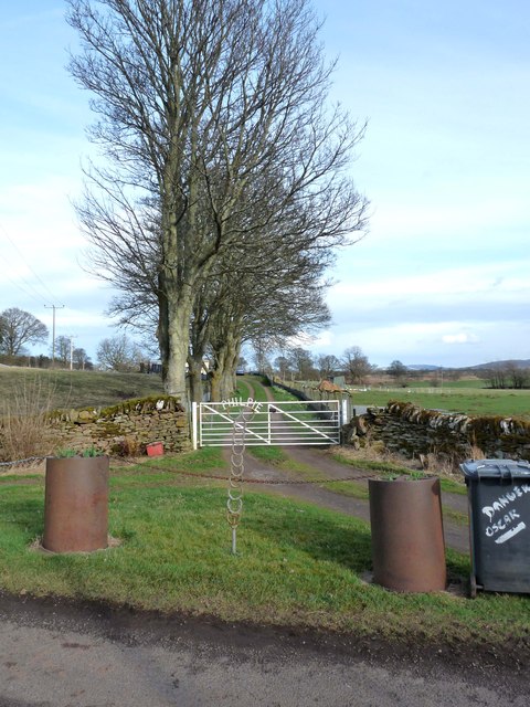
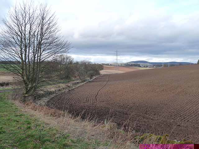
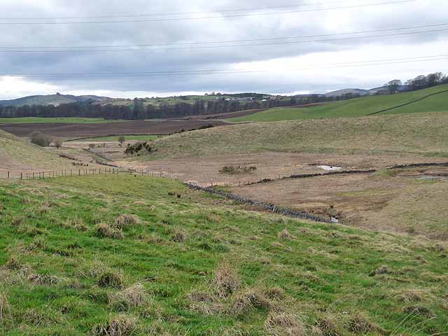
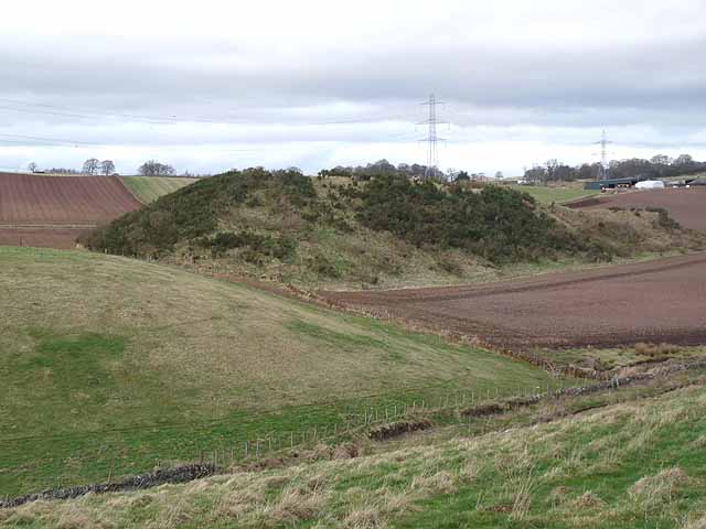
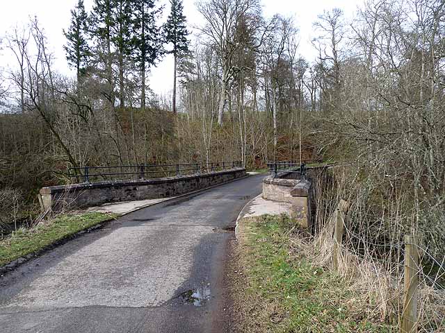
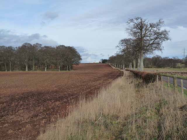
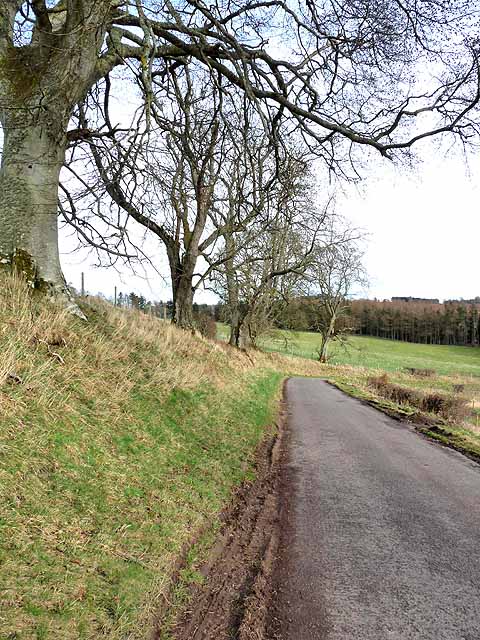
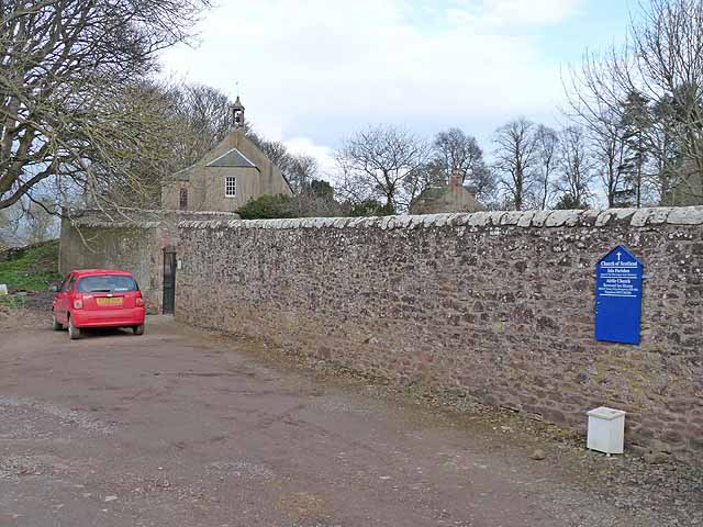
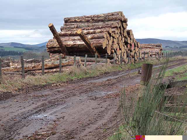
Kirkton of Airlie Images

Images are sourced within 2km of 56.650152/-3.1228813 or Grid Reference NO3151. Thanks to Geograph Open Source API. All images are credited.

Rapids on the River Isla Just upstream from Dillavaird Bridge, the River Isla flows through a most spectacular gorge.
Rapids on the River Isla
Just upstream from Dillavaird Bridge, the River Isla flows through a most spectacular gorge.
The Den of Airlie Just downstream from Airlie Castle, the River Isla flows through a most impressive, cliff-bound gorge.
The Den of Airlie
Just downstream from Airlie Castle, the River Isla flows through a most impressive, cliff-bound gorge.
Road beside the Den of Airlie Tree-lined road typical of the district. The ground drops precipitously to the left to the Den of Airlie, a gorge carved out by the River Isla.
Road beside the Den of Airlie
Tree-lined road typical of the district. The ground drops precipitously to the left to the Den of Airlie, a gorge carved out by the River Isla.
Lodge to Airlie Castle Airlie Castle is a late 18th century manor house built on the ruins of an earlier castle.
Lodge to Airlie Castle
Airlie Castle is a late 18th century manor house built on the ruins of an earlier castle.
Gateway to Philpie An imaginative house sign and a pair of recycled oil drums make for a distinctive entrance.
Gateway to Philpie
An imaginative house sign and a pair of recycled oil drums make for a distinctive entrance.
Ploughed field at Airlie Showing the distinctive red soil of the district.
Ploughed field at Airlie
Showing the distinctive red soil of the district.
Valley near Kirkton of Airlie
Valley near Kirkton of Airlie Line of pylons in the background, with Barns of Airlie <a href="https://www.geograph.org.uk/gridref/NO3151">NO3151</a>to the right.
Valley near Kirkton of Airlie
Line of pylons in the background, with Barns of Airlie NO3151to the right.
Bridge of Lundies Bridge carrying a minor road over the Melgam Water.
Bridge of Lundies
Bridge carrying a minor road over the Melgam Water.
Ploughed field alongside a country road at Brae of Airlie Typical of the tree-lined roads in the district. Note the deep red colour of the ploughed field, also characteristic of the district.
Ploughed field alongside a country road at Brae of Airlie
Typical of the tree-lined roads in the district. Note the deep red colour of the ploughed field, also characteristic of the district.
Road leading down to the Bridge of Lundies
Church of Scotland at Airlie Behind a high wall in the hamlet of Kirkton of Airlie.
Church of Scotland at Airlie
Behind a high wall in the hamlet of Kirkton of Airlie.
Kirkton of Airlie A tiny hamlet adjoining, as its name implies, the Church of Scotland Kirk at Airlie.
Kirkton of Airlie
A tiny hamlet adjoining, as its name implies, the Church of Scotland Kirk at Airlie.
Clear felling at the Kaims of Airlie A large area of woodland to the north of the road along the Kaims of Airlie has been reduced to a pile of logs.
Clear felling at the Kaims of Airlie
A large area of woodland to the north of the road along the Kaims of Airlie has been reduced to a pile of logs.
Log pile at Kaims of Airlie A large area of woodland to the north of the road along the Kaims of Airlie has been reduced to a pile of logs. Not sure how the diagonal logs come into the equation.
Log pile at Kaims of Airlie
A large area of woodland to the north of the road along the Kaims of Airlie has been reduced to a pile of logs. Not sure how the diagonal logs come into the equation.
Cattle at the Kaims of Airlie The Kaims of Airlie is a prominent ridge on the northern edge of Strathmore. Baldovie <a href="https://www.geograph.org.uk/gridref/NO3253">NO3253</a> is the farm which can be seen in the floor of the valley.
Cattle at the Kaims of Airlie
The Kaims of Airlie is a prominent ridge on the northern edge of Strathmore. Baldovie NO3253 is the farm which can be seen in the floor of the valley.
Fields near Airlie, seen from the A926
Road closed, Dillavaird, Airlie This road has been closed for over a year now; I assume there has been a landslide in the Den of Airlie.
Road closed, Dillavaird, Airlie
This road has been closed for over a year now; I assume there has been a landslide in the Den of Airlie.
Show me another place!

Kirkton of Airlie is located at Grid Ref: NO3151 (Lat: 56.650152, Lng: -3.1228813)

Unitary Authority: Angus

Police Authority: Tayside

What 3 Words

///shrubbery.lighters.personal. Near Alyth, Perth & Kinross

Related Wikis

Airlie, Angus

Airlie (Scottish Gaelic: Iarlaidh) is a civil parish in the Scottish council area of Angus. It is the seat of the Earl of Airlie, and the location of...
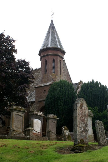
Airlie Parish Kirk

Airlie Parish Kirk is a church in Airlie, Angus. It was completed in 1783 and dedicated to St. Meddan. The interior was renovated in 1893. The church contains...

Airlie Castle

Airlie Castle is a mansion house in the parish of Airlie, Angus, near the junction of the Isla and Melgund rivers, 9 kilometres west of Kirriemuir, Angus...

Ruthven, Angus

Ruthven ( RIV-ən) is a village in Angus, Scotland. It is two miles (3.2 km) north of Meigle, where the A926 road crosses the River Isla. == See also... ==

Nearby Amenities

Located within 500m of 56.650152,-3.1228813
Bus Stop
Barns of Airlie
Bus: yes
Local Ref: AT
Naptan AtcoCode: 6490IM1713
Naptan Bearing: N
Naptan BusStopType: CUS
Naptan CommonName: Barns of Airlie
Naptan Indicator: at
Naptan NaptanCode: 26427247
Naptan Street: Unclassified Road
Naptan Verified: no
Public Transport: platform
Source: naptan_import
Lat/Long: 56.6520265/-3.1259089
Power: tower
Source: Bing
Lat/Long: 56.6512029/-3.1283618
Power: tower
Source: Bing
Lat/Long: 56.6538416/-3.1268757
Kirkton of Airlie
Place: hamlet
Lat/Long: 56.6503851/-3.1219472
Barns of Airlie
Place: isolated_dwelling
Lat/Long: 56.6520493/-3.1264627
Crabra
Place: isolated_dwelling
Lat/Long: 56.6523088/-3.1175578
Grange of Airlie
Place: isolated_dwelling
Lat/Long: 56.6464223/-3.1195963
Power: pole
Lat/Long: 56.6481705/-3.1177892
Power: pole
Lat/Long: 56.6475762/-3.1186846
Power: pole
Lat/Long: 56.6468023/-3.1190347
Power: pole
Lat/Long: 56.6459631/-3.1210828
Power: pole
Lat/Long: 56.6464398/-3.1203707
Power: pole
Lat/Long: 56.6511517/-3.1225657
Power: pole
Lat/Long: 56.6516219/-3.1230357
Power: pole
Lat/Long: 56.6524397/-3.1238558
Power: pole
Lat/Long: 56.6529861/-3.1244128
Power: pole
Lat/Long: 56.6535042/-3.1249157
Power: pole
Lat/Long: 56.6540015/-3.1254304
Power: pole
Lat/Long: 56.6520198/-3.1252917
Power: pole
Lat/Long: 56.6524436/-3.1238441
Power: pole
Lat/Long: 56.6527807/-3.1226973
Power: pole
Lat/Long: 56.6530959/-3.1216022
Power: pole
Lat/Long: 56.6534434/-3.1204036
Power: pole
Lat/Long: 56.6537677/-3.119278
Power: pole
Lat/Long: 56.653167/-3.1168833
Power: pole
Lat/Long: 56.6526851/-3.1162605
The data included in this document is from www.openstreetmap.org. The data is made available under ODbL.

Have you been to Kirkton of Airlie?

Leave your review of Kirkton of Airlie below (or comments, questions and feedback).