Thorn Wood
Wood, Forest in Angus
Scotland
Thorn Wood
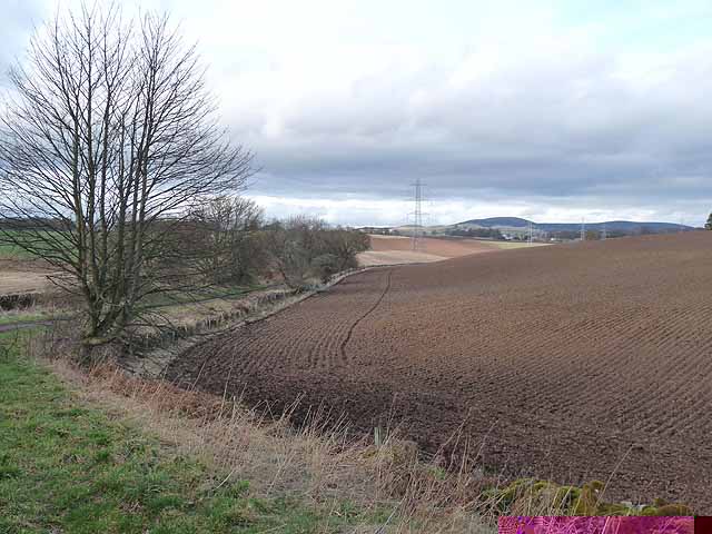
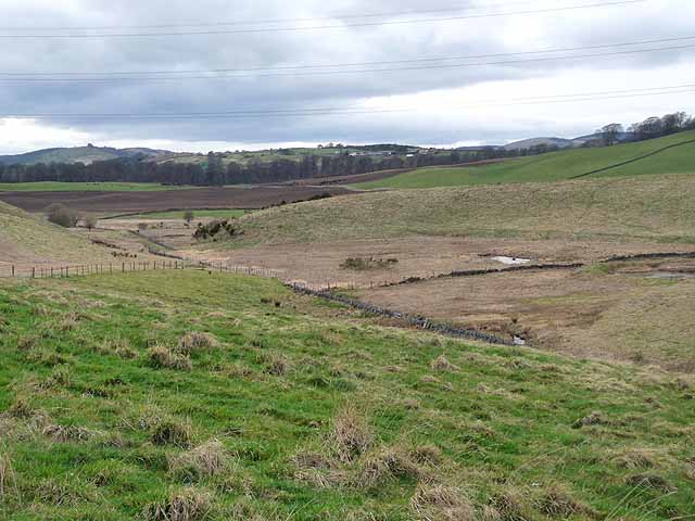
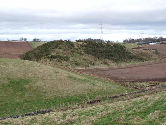
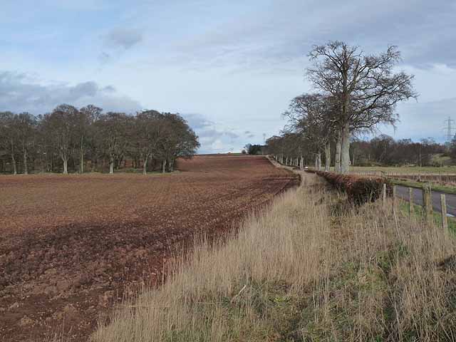
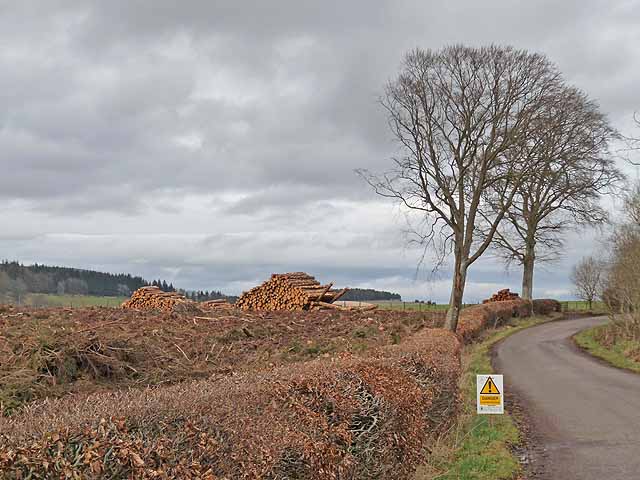
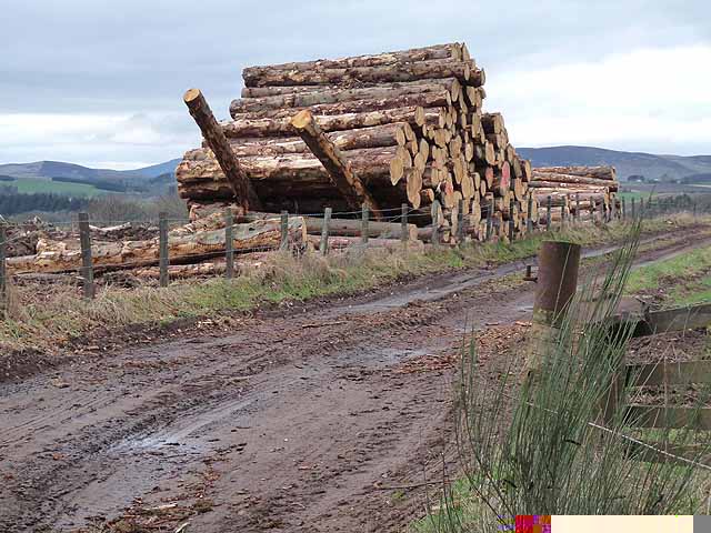
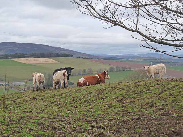
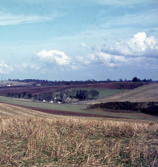
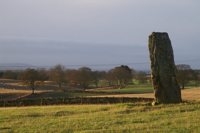
Thorn Wood is a picturesque forest located in the Angus region of Scotland. Covering an area of approximately 100 acres, the woodland is known for its diverse range of plant and animal species. The forest is dominated by native broadleaf trees such as oak, birch, and beech, creating a vibrant and lush habitat for wildlife.
Thorn Wood is a popular destination for nature lovers, hikers, and birdwatchers, with a network of well-maintained trails that wind through the forest. Visitors can enjoy peaceful walks among the towering trees, listening to the sounds of birdsong and the rustling of leaves in the wind.
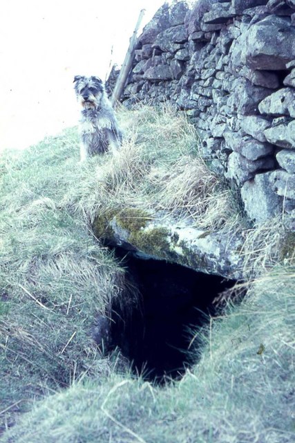
The forest is also home to a variety of wildlife, including deer, foxes, and a wide range of bird species. Birdwatchers can spot species such as woodpeckers, owls, and red kites among the treetops.
Thorn Wood is a valuable natural resource, providing important habitat for plants and animals, as well as offering recreational opportunities for visitors. The forest is managed and protected by local conservation organizations to ensure its preservation for future generations to enjoy.
If you have any feedback on the listing, please let us know in the comments section below.
Thorn Wood Images
Images are sourced within 2km of 56.649709/-3.1130826 or Grid Reference NO3151. Thanks to Geograph Open Source API. All images are credited.


Thorn Wood is located at Grid Ref: NO3151 (Lat: 56.649709, Lng: -3.1130826)
Unitary Authority: Angus
Police Authority: Tayside
What 3 Words
///contracts.kilowatt.bridge. Near Kirriemuir, Angus
Nearby Locations
Related Wikis

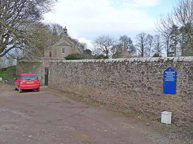
Airlie Parish Kirk
Airlie Parish Kirk is a church in Airlie, Angus. It was completed in 1783 and dedicated to St. Meddan. The interior was renovated in 1893. The church contains...
Airlie, Angus
Airlie (Scottish Gaelic: Iarlaidh) is a civil parish in the Scottish council area of Angus. It is the seat of the Earl of Airlie, and the location of...

Airlie Castle
Airlie Castle is a mansion house in the parish of Airlie, Angus, near the junction of the Isla and Melgund rivers, 9 kilometres west of Kirriemuir, Angus...

Balfour Castle, Angus
Balfour Castle was a baronial mansion at Balfour Mains, near Kirkton of Kingoldrum, Angus, Scotland. The castle which was built in the 16th century is...
Nearby Amenities
Located within 500m of 56.649709,-3.1130826Have you been to Thorn Wood?
Leave your review of Thorn Wood below (or comments, questions and feedback).