Kiln Pit Hill
Settlement in Northumberland
England
Kiln Pit Hill

Kiln Pit Hill is a small village located in Northumberland, England. Situated approximately 6 miles northwest of Consett, it is nestled in the picturesque countryside of the North Pennines Area of Outstanding Natural Beauty. The village is part of the civil parish of Knitsley and is surrounded by rolling hills, lush green fields, and dense woodland.
The origins of Kiln Pit Hill can be traced back to the mining industry that once thrived in the area. The village takes its name from the coal pits and kilns that were used for the production of lime during the 19th century. Today, remnants of these industrial activities can still be seen in the form of disused mine entrances and the occasional kiln.
The village itself is relatively small, with a close-knit community that values its rural lifestyle. Most of the houses in Kiln Pit Hill are traditional stone-built cottages, giving the village a charming and quaint atmosphere. The surrounding landscape provides ample opportunities for outdoor activities, such as hiking, cycling, and wildlife spotting.
Although Kiln Pit Hill is a quiet village, it benefits from its proximity to larger towns and cities. Consett, with its range of amenities and services, is just a short drive away, offering residents easy access to shops, schools, and healthcare facilities.
Overall, Kiln Pit Hill offers a peaceful and idyllic setting for those seeking a rural lifestyle in the heart of Northumberland's stunning natural landscape.
If you have any feedback on the listing, please let us know in the comments section below.
Kiln Pit Hill Images
Images are sourced within 2km of 54.890528/-1.9399016 or Grid Reference NZ0355. Thanks to Geograph Open Source API. All images are credited.


Kiln Pit Hill is located at Grid Ref: NZ0355 (Lat: 54.890528, Lng: -1.9399016)
Unitary Authority: Northumberland
Police Authority: Northumbria
What 3 Words
///sandbags.summit.pixel. Near Healey, Northumberland
Nearby Locations
Related Wikis
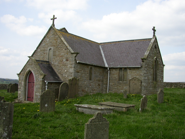
St Andrew's Church, Shotley
St Andrew's Church, Shotley, is a redundant Anglican church standing in an isolated position at a height of 960 feet (293 m) on Greymare Hill in Northumberland...

Minsteracres
Minsteracres is an 18th-century mansion house, now a Christian retreat centre, in Northumberland, England. It is a Grade II listed building.The house was...

Snods Edge
Snods Edge is a small hamlet in South Northumberland, about 4 miles (6 km) from Consett. The name is thought to have derived from "snow's edge", referring...
Carterway Heads
Carterway Heads is a hamlet in Northumberland, England. It is situated between Consett and the Derwent Reservoir, at the intersection of the A68 and B6278...
Nearby Amenities
Located within 500m of 54.890528,-1.9399016Have you been to Kiln Pit Hill?
Leave your review of Kiln Pit Hill below (or comments, questions and feedback).