Kilmory
Settlement in Argyllshire
Scotland
Kilmory

The requested URL returned error: 429 Too Many Requests
If you have any feedback on the listing, please let us know in the comments section below.
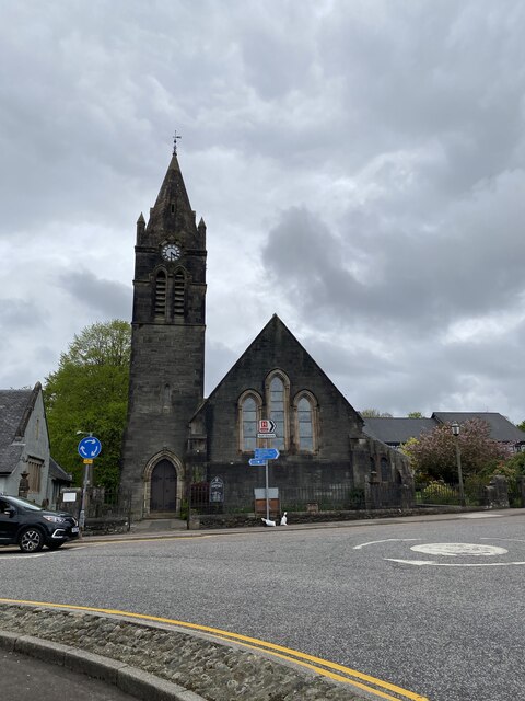
Kilmory Images
Images are sourced within 2km of 56.026823/-5.4244072 or Grid Reference NR8686. Thanks to Geograph Open Source API. All images are credited.


Kilmory is located at Grid Ref: NR8686 (Lat: 56.026823, Lng: -5.4244072)
Unitary Authority: Argyll and Bute
Police Authority: Argyll and West Dunbartonshire
What 3 Words
///welfare.embarks.dictation. Near Lochgilphead, Argyll & Bute
Nearby Locations
Related Wikis
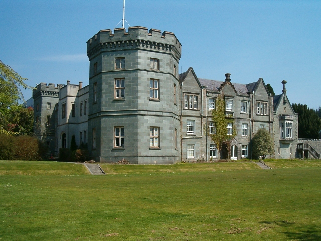
Kilmory Castle
Kilmory Castle, also known as Kilmory House, is a large 19th century house located just to the south of Lochgilphead, in old county Argyll, on the west...

Lochgilphead High School
Lochgilphead High School in Lochgilphead, Argyll is a secondary school servicing around 500-700 students. A new campus has been built in 2007 incorporating...

Lochgilphead
Lochgilphead (; Scottish Gaelic: Ceann Loch Gilb [kʲʰan̪ˠ l̪ˠɔx ˈkʲilip]) is a town and former burgh in Argyll and Bute, Scotland, with a population of...

Mid Argyll Community Hospital
Mid Argyll Community Hospital is a community hospital in Blarbuie Road, Lochgilphead, Scotland. It is managed by NHS Highland. == History == The facility...
Nearby Amenities
Located within 500m of 56.026823,-5.4244072Have you been to Kilmory?
Leave your review of Kilmory below (or comments, questions and feedback).