Kilmichael

Settlement in Inverness-shire

Scotland

Kilmichael

Forest path going down to join woodland walk to Craig Mony
Forest path going down to join woodland walk to Craig Mony Credit: Sarah McGuire

The requested URL returned error: 429 Too Many Requests

If you have any feedback on the listing, please let us know in the comments section below.
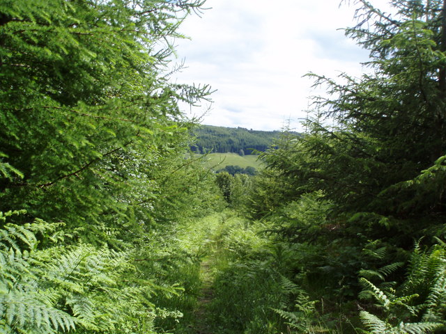
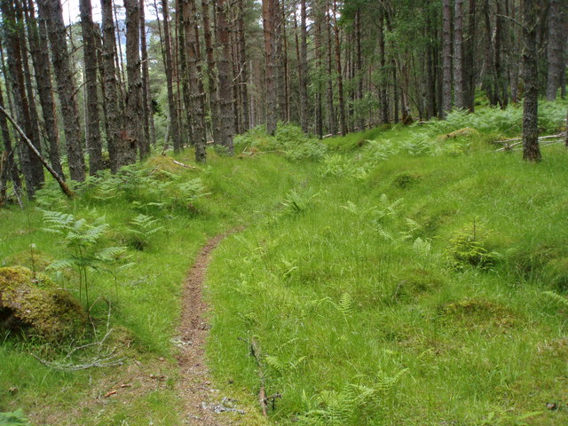
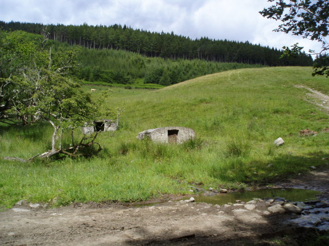
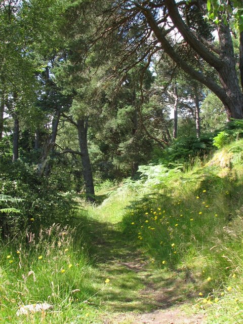
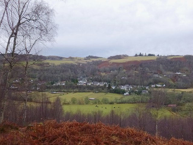
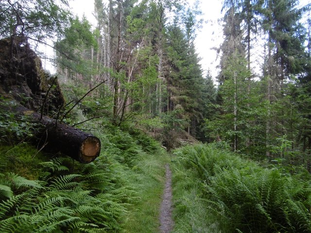
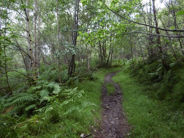
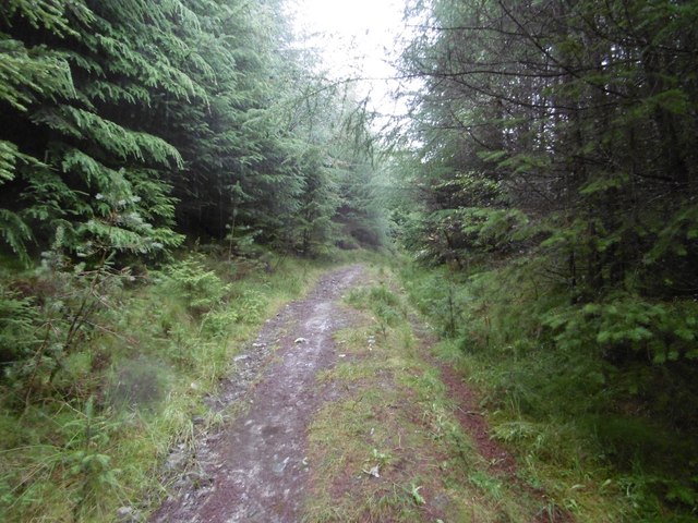
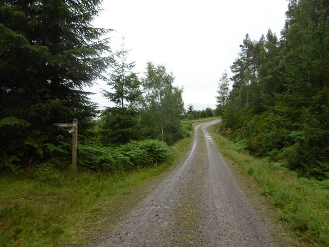
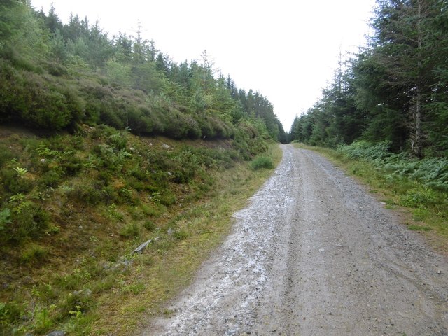
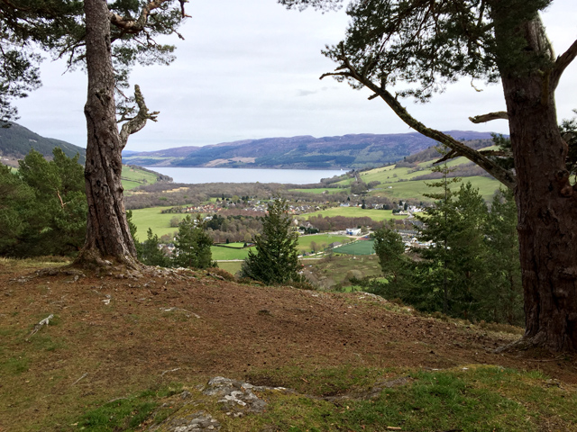
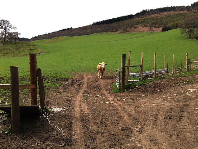
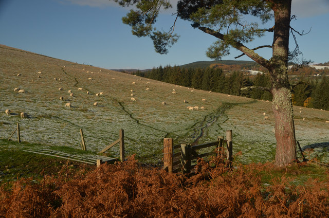
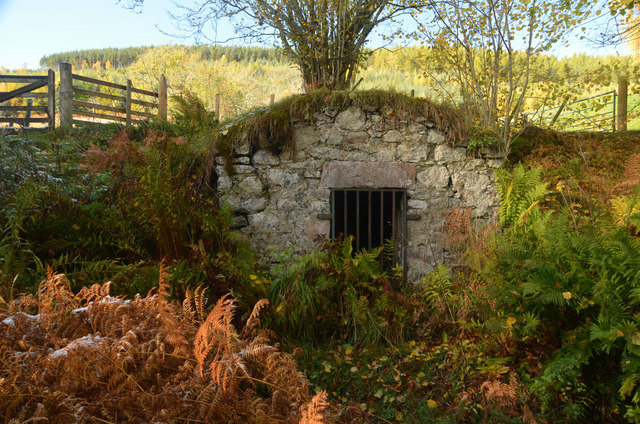
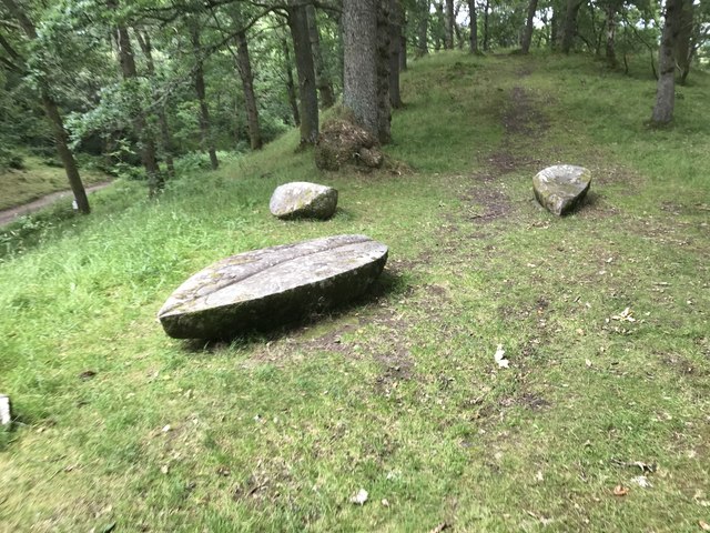
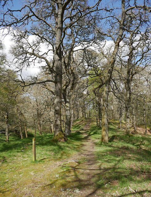
Kilmichael Images

Images are sourced within 2km of 57.339535/-4.4858336 or Grid Reference NH5030. Thanks to Geograph Open Source API. All images are credited.

Forest path going down to join woodland walk to Craig Mony
Path going up Cnoc a' Bhuachaille through Pine forest
Covered water tanks by ford
Path, Craig Mony Path leading through mixed woodland below the fort on Craig Mony.
Path, Craig Mony
Path leading through mixed woodland below the fort on Craig Mony.
View over Glenurquhart to Milton From a viewpoint on a path through the woods, near Craig Mony.

Looking across the foot of Glenurquhart towards the village of Milton, or Baile a' Mhuilinn in Gaelic. This shows how the village is spread out along by the River Enrick.
Part of the A833 road is visible (just to the left of centre), where it climbs steeply up Culnakirk Brae.
View over Glenurquhart to Milton
From a viewpoint on a path through the woods, near Craig Mony. Looking across the foot of Glenurquhart towards the village of Milton, or Baile a' Mhuilinn in Gaelic. This shows how the village is spread out along by the River Enrick. Part of the A833 road is visible (just to the left of centre), where it climbs steeply up Culnakirk Brae.
Path through a pine forest Singletrack on the Affric Kintail Way.  After a climb just past here, the route to Cannich is nearly all on roads.
Path through a pine forest
Singletrack on the Affric Kintail Way. After a climb just past here, the route to Cannich is nearly all on roads.
Drumnadrochit singletrack Woodland path on the Affric Kintail Way.
Drumnadrochit singletrack
Woodland path on the Affric Kintail Way.
Slopes of Cnoc a' Bhuachaille A track up through the trees on the Affric Kintail Way.  A steep climb.
Slopes of Cnoc a' Bhuachaille
A track up through the trees on the Affric Kintail Way. A steep climb.
Affric Kintail Way signpost After a long singletrack climb, the many kilometres of logging road begins. Definitely a route best done with wheels.  If going towards Drumnadrochit, the descent from here is steep.
Affric Kintail Way signpost
After a long singletrack climb, the many kilometres of logging road begins. Definitely a route best done with wheels. If going towards Drumnadrochit, the descent from here is steep.
Logging road, Glen Urquhart Contouring the slopes of Cnoc a' Bhuachaille.
Logging road, Glen Urquhart
Contouring the slopes of Cnoc a' Bhuachaille.
Craigmonie The site of an ancient hill fort, Craigmonie (or Craig Mony) is a fine viewpoint looking out across Drumnadrochit to Loch Ness.
Craigmonie
The site of an ancient hill fort, Craigmonie (or Craig Mony) is a fine viewpoint looking out across Drumnadrochit to Loch Ness.
Bullock above Balmacaan
Barnett's Gate at Craigmony, near Drumnadrochit, Highlands The wooden gate in this photo has a small plaque which reads "This gate is dedicated in memory of Sgt. Craig Barnett RAF 1963 - 1995 Cared for by the Woodland Trust".
Barnett's Gate at Craigmony, near Drumnadrochit, Highlands
The wooden gate in this photo has a small plaque which reads "This gate is dedicated in memory of Sgt. Craig Barnett RAF 1963 - 1995 Cared for by the Woodland Trust".
Probable Cistern at Balmacaan, Drumnadrochit, Scottish Highlands A grate of iron bars blocks the entrance to a small chamber set within the hillside.  The chamber has a vaulted masonry roof and what appears to be a concrete tank in the floor.  Given the location next to a small watercourse on the former estate of Balmacaan, it seems most likely that this structure is a redundant cistern for supplying water.
Probable Cistern at Balmacaan, Drumnadrochit, Scottish Highlands
A grate of iron bars blocks the entrance to a small chamber set within the hillside. The chamber has a vaulted masonry roof and what appears to be a concrete tank in the floor. Given the location next to a small watercourse on the former estate of Balmacaan, it seems most likely that this structure is a redundant cistern for supplying water.
Depth marker in glacial kettlehole
Forest path
Forest path
Stone sculptured seats
Path, Balmacaan Wood Passing through mixed woodland, including some tall oak trees. This is part of a waymarked trail, with a post on the left.
Path, Balmacaan Wood
Passing through mixed woodland, including some tall oak trees. This is part of a waymarked trail, with a post on the left.
Show me another place!

Kilmichael is located at Grid Ref: NH5030 (Lat: 57.339535, Lng: -4.4858336)

Unitary Authority: Highland

Police Authority: Highlands and Islands

What 3 Words

///handicaps.demanding.adopt. Near Drumnadrochit, Highland

Nearby Locations

Kilmichael Drumnadrochit

Related Wikis

Drumnadrochit

Drumnadrochit (; Scottish Gaelic: Druim na Drochaid) is a village in the Highland local government council area of Scotland, lying near the west shore...

Milton, Glenurquhart

Milton (Scottish Gaelic: Baile a' Mhuilinn) is a village in Glenurquhart, to the west of the village of Drumnadrochit, in the Highland council area of...

Glen Urquhart High School

Glen Urquhart High School is a six-year comprehensive secondary school situated in Drumnadrochit. The school's primary catchment area ranges from Abriachan...

Lewiston, Highland

Lewiston is a small linear village, situated less than 1 mile southeast of Drumnadrochit, in Inverness-shire, Scottish Highlands and is in the Scottish...

Nearby Amenities

Located within 500m of 57.339535,-4.4858336
Crossing
Button Operated: yes
Crossing: traffic_signals
Crossing Ref: zebra
Source: survey
Tactile Paving: yes
Lat/Long: 57.3362608/-4.4801379
Bus Stop
Post Office
Bench: yes
Bus: yes
Check Date Shelter: 2023-07-22
Direction: N
Naptan AtcoCode: 670085519
Naptan Bearing: N
Naptan CommonName: Post Office
Naptan Indicator: o/s
Naptan Landmark: Village Square
Naptan NaptanCode: 45324364
Naptan Street: A82
Public Transport: platform
Shelter: yes
Source: naptan_import;survey
Lat/Long: 57.3364434/-4.4803729
Drumnadrochit War Memorial
Historic: memorial
Memorial: obelisk
Lat/Long: 57.337301/-4.4796461
Post Box
Collection Times: Mo-Fr 17:30; Sa 14:00
Operator: Royal Mail
Post Box Type: pillar
Ref: IV3 141
Royal Cypher: GR
Royal Cypher Wikidata: Q33102273
Source: survey
Lat/Long: 57.3361868/-4.4802874
Nessieland Castle Monster Centre
Tourism: attraction
Lat/Long: 57.3378412/-4.4804751
Entrance: yes
Lat/Long: 57.3378828/-4.4810696
Fres' Hair
Shop: hairdresser
Lat/Long: 57.3374624/-4.4799511
Telephone
Booth: KX100
Covered: booth
Mapillary: 601298497932689
Survey Date: 2019-08-03
Lat/Long: 57.3362413/-4.4803093
Pharmacy
Great Glen Pharmacy
Addr Housename: Victoria Buildings
Dispensing: yes
Entrance: yes
Healthcare: pharmacy
Lat/Long: 57.3374485/-4.4797963
Craig Achmony
Place: locality
Lat/Long: 57.3435068/-4.4863053
Craobhach
Place: locality
Lat/Long: 57.3391674/-4.4839411
Kilmichael House
Place: locality
Lat/Long: 57.3386905/-4.4869667
Lower Achmony Holiday Chalets
Place: locality
Lat/Long: 57.3400406/-4.4888389
Drumnadrochit Lodges
Email: info@drumnadrochit-lodges.co.uk
Internet Access: no
Phone: +44 1456 450 467
Smoking: outside
Tourism: chalet
Website: http://www.drumnadrochit-lodges.co.uk
Wheelchair: limited
Lat/Long: 57.3436978/-4.4883056
Nessie Shop
Name En: Nessie Shop
Opening Hours: Mo-Sa 09:30-17:00
Shop: gift
Lat/Long: 57.3376674/-4.4783271
Fire Hydrant
Emergency: fire_hydrant
Fire Hydrant Position: sidewalk
Fire Hydrant Type: underground
Source: survey
Lat/Long: 57.3366054/-4.4800672
Power: pole
Lat/Long: 57.3432623/-4.4895526
Power: pole
Lat/Long: 57.342868/-4.4890795
Power: pole
Lat/Long: 57.3425093/-4.4886782
Power: pole
Lat/Long: 57.3423922/-4.4885465
Power: pole
Lat/Long: 57.3418622/-4.4879386
Power: pole
Lat/Long: 57.3412344/-4.4880359
Power: pole
Lat/Long: 57.3404257/-4.4881707
Power: pole
Lat/Long: 57.3394909/-4.4882425
Power: pole
Lat/Long: 57.3404637/-4.4933598
Power: pole
Lat/Long: 57.3399013/-4.4928268
Power: pole
Lat/Long: 57.3393414/-4.4923103
Power: pole
Lat/Long: 57.3385787/-4.4918582
Power: pole
Lat/Long: 57.3376188/-4.4912833
Power: pole
Lat/Long: 57.3366056/-4.4906844
Power: pole
Lat/Long: 57.3360076/-4.4906335
Power: pole
Lat/Long: 57.3356755/-4.4893789
Power: pole
Lat/Long: 57.3356731/-4.4872829
Power: pole
Lat/Long: 57.3363462/-4.4876167
Power: pole
Lat/Long: 57.3364044/-4.4864639
Power: pole
Lat/Long: 57.3364593/-4.4852976
Power: pole
Lat/Long: 57.3365054/-4.4841283
Power: pole
Lat/Long: 57.3365442/-4.4829142
Power: pole
Lat/Long: 57.3365951/-4.4817164
Material: wood
Power: pole
Lat/Long: 57.3366508/-4.4805861
Material: wood
Power: pole
Lat/Long: 57.3366549/-4.4804783
Material: wood
Power: pole
Lat/Long: 57.3370993/-4.4806969
Material: wood
Power: pole
Lat/Long: 57.3373716/-4.4805337
Power: pole
Lat/Long: 57.3363931/-4.4896671
Bridgend House
Addr Street: Village Green
Source: Bing
Stars: 4
Tourism: guest_house
Website: http://www.bestbandb-lochness.co.uk/
Lat/Long: 57.3367266/-4.4799789
Greenlea B&B
Addr Street: Village Green
Source: Bing
Stars: 3
Tourism: guest_house
Website: http://www.drumnadrochit.co.uk/greenlea.html
Lat/Long: 57.3367017/-4.4797586
Loch Ness Cruises
Operator: Loch Ness Cruises
Shop: yes
Website: https://www.lochness-cruises.com/
Lat/Long: 57.3374455/-4.4797687
Leisure: picnic_table
Lat/Long: 57.3362682/-4.4802935
The data included in this document is from www.openstreetmap.org. The data is made available under ODbL.

Have you been to Kilmichael?

Leave your review of Kilmichael below (or comments, questions and feedback).