Kilmachalmack
Settlement in Ross-shire
Scotland
Kilmachalmack
The requested URL returned error: 429 Too Many Requests
If you have any feedback on the listing, please let us know in the comments section below.
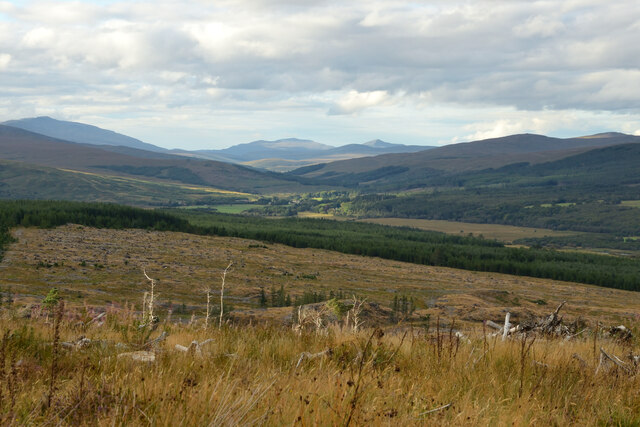
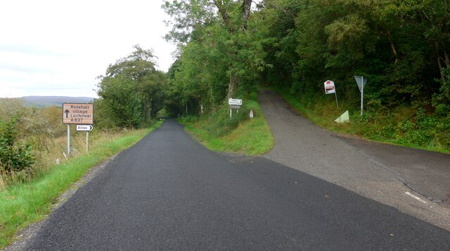
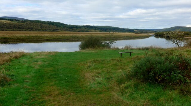
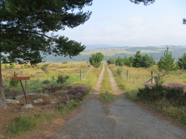
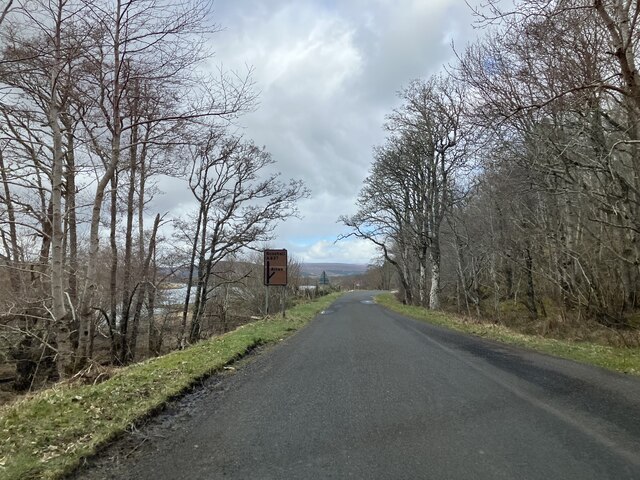
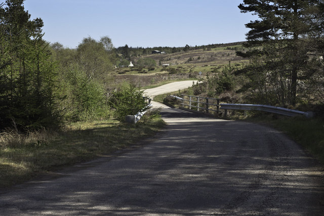
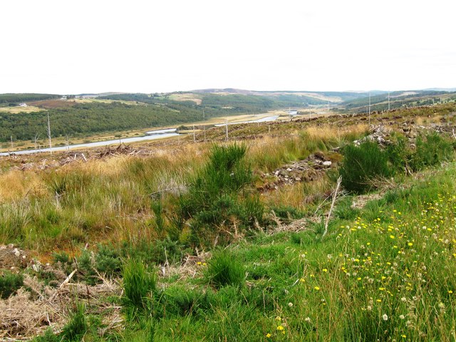
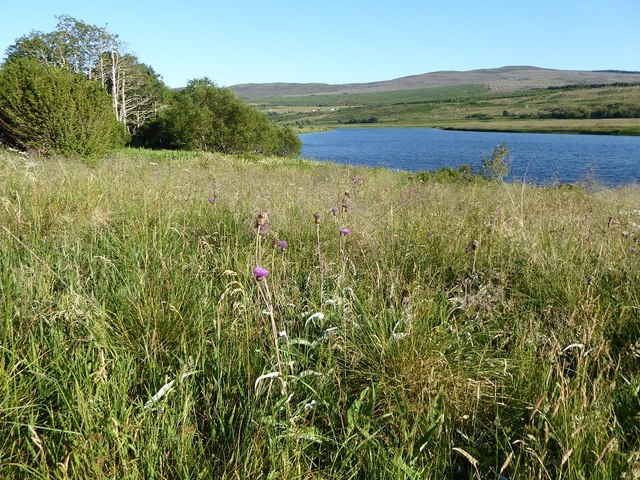
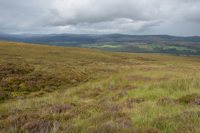
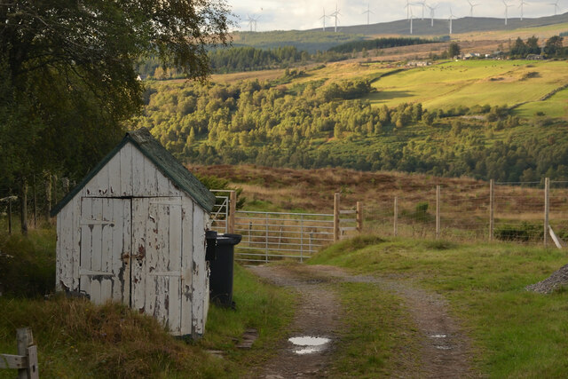
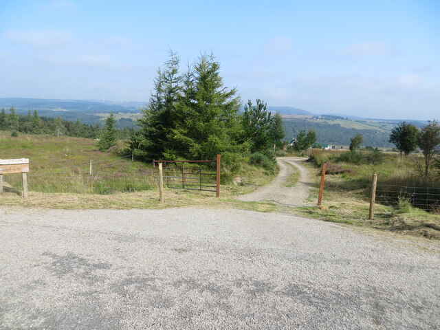
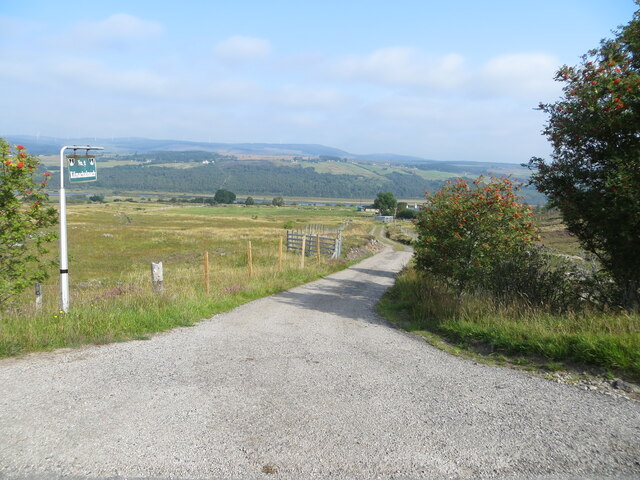
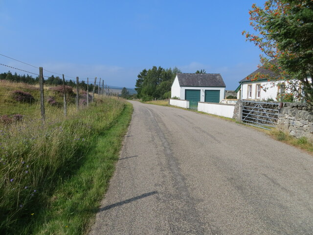
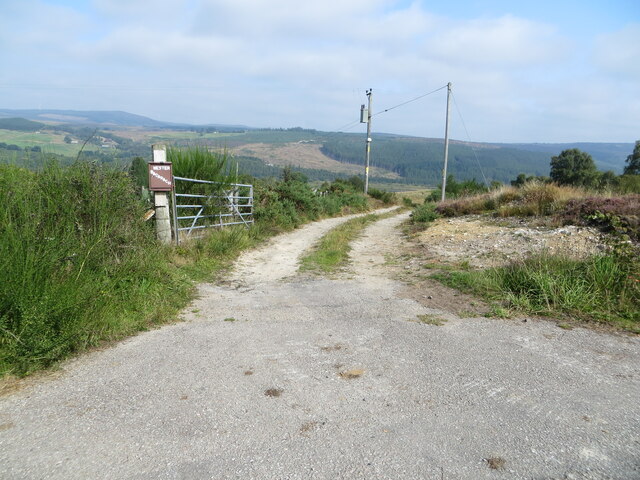
Kilmachalmack Images
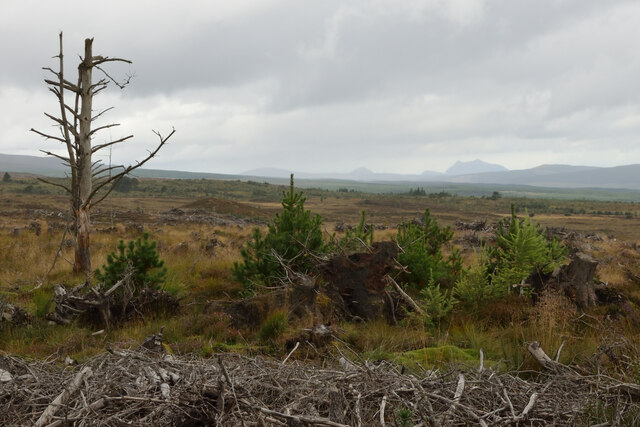
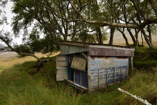
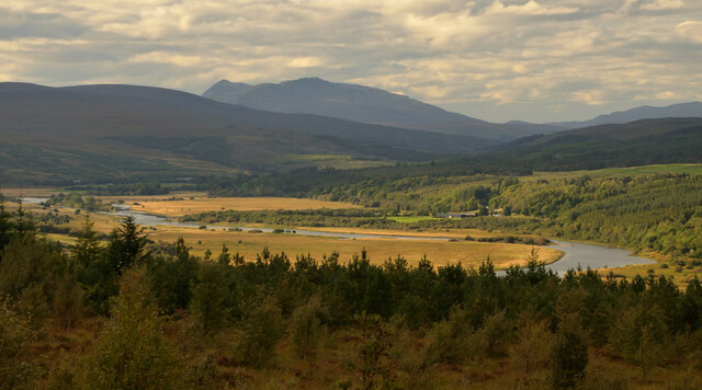
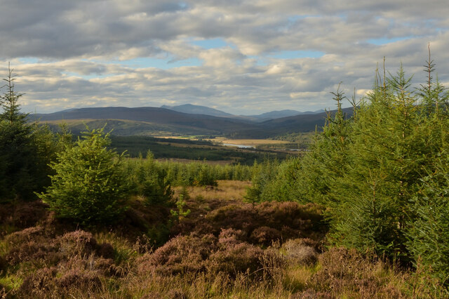
Images are sourced within 2km of 57.945616/-4.5259467 or Grid Reference NH5097. Thanks to Geograph Open Source API. All images are credited.
Kilmachalmack is located at Grid Ref: NH5097 (Lat: 57.945616, Lng: -4.5259467)
Unitary Authority: Highland
Police Authority: Highlands and Islands
What 3 Words
///roosters.tissue.foil. Near Lairg, Highland
Nearby Locations
Related Wikis

Achnahanat
Achnahanat (Scottish Gaelic: Achadh na h-Annaid) is a crofting settlement on the south side of the Kyle of Sutherland in Scotland. It is about 4 miles...
Battle of Aldy Charrish
The Battle of Aldy Charrish (also known as the Battle of Auldicharish, Aldicharrish, Aldecharwis, Alt a'Charrais, Alt Charrais, Alt na Charrais) was a...

Altass
Altass (Scottish Gaelic: Alltais) is a village in the Parish of Creich, near Lairg, Sutherland, within the Highland, Scotland and is in the council area...

Linsidemore
Linsidemore (Scottish Gaelic: Lianasaid Mhòr) is a tiny township on the north bank of the Kyle of Sutherland in the Scottish Highlands. It is about 3 miles...
Nearby Amenities
Located within 500m of 57.945616,-4.5259467Have you been to Kilmachalmack?
Leave your review of Kilmachalmack below (or comments, questions and feedback).