Killywhan

Settlement in Kirkcudbrightshire

Scotland

Killywhan

Beeswing Church complete with guard horse!
Beeswing Church Credit: Alison Stamp

Killywhan is a small village located in the historical county of Kirkcudbrightshire, Scotland. Situated in the southern part of the country, it lies approximately 5 miles northwest of the town of Castle Douglas and 10 miles northeast of Kirkcudbright.

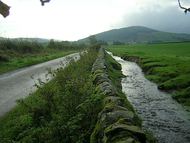
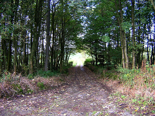
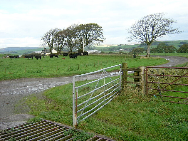
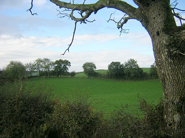
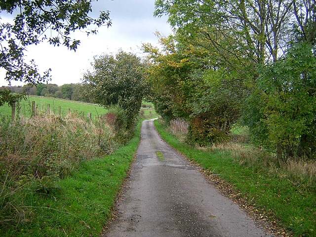
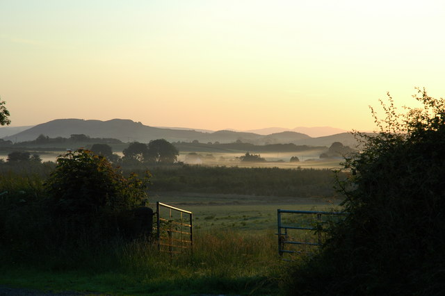
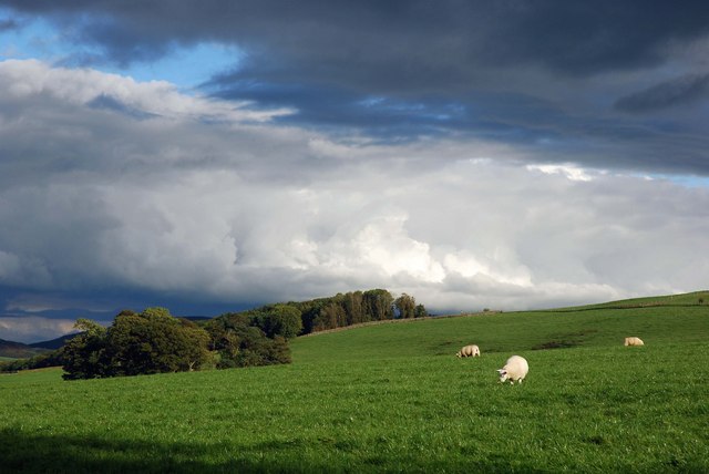
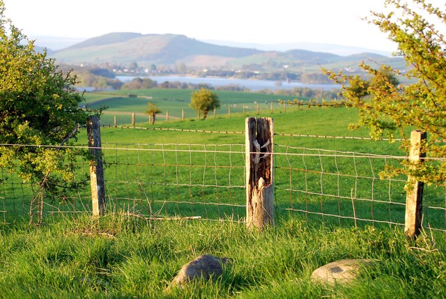
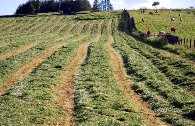
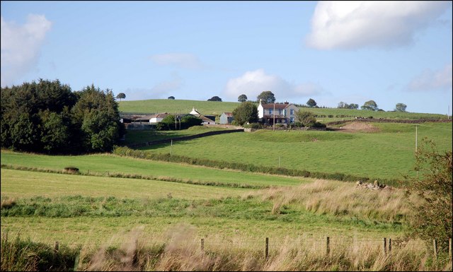
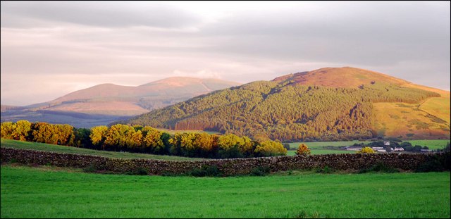
The village is nestled in a picturesque rural setting, surrounded by rolling hills and farmland. Its tranquil atmosphere makes it an ideal destination for those seeking a peaceful retreat away from the hustle and bustle of city life. Killywhan offers visitors stunning views of the Galloway Forest Park, which is renowned for its natural beauty and diverse wildlife.

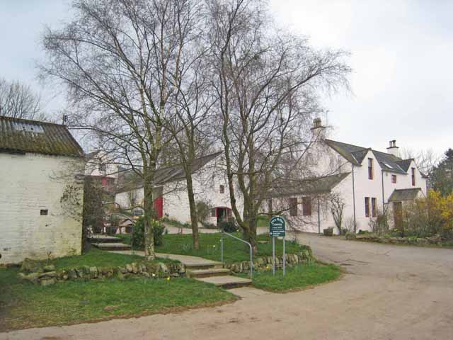
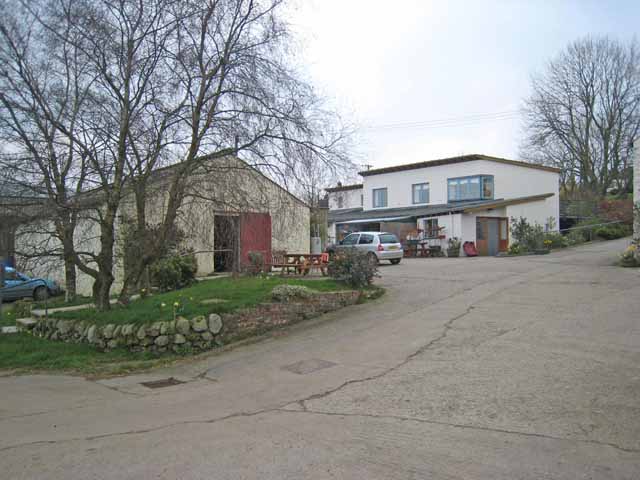
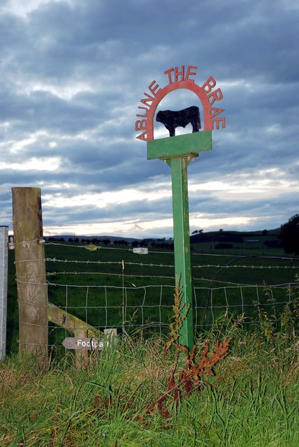
The village itself is characterized by its charming traditional stone cottages, giving it a timeless appeal. While small in size, Killywhan has a close-knit community that takes great pride in maintaining its heritage. The village is home to a local community center, which serves as a hub for social gatherings and events.

For outdoor enthusiasts, Killywhan offers a variety of activities such as hiking, cycling, and fishing. The nearby Loch Ken is a popular spot for water sports, including kayaking and sailing. The surrounding countryside provides ample opportunities for nature walks, with many trails showcasing the area's flora and fauna.

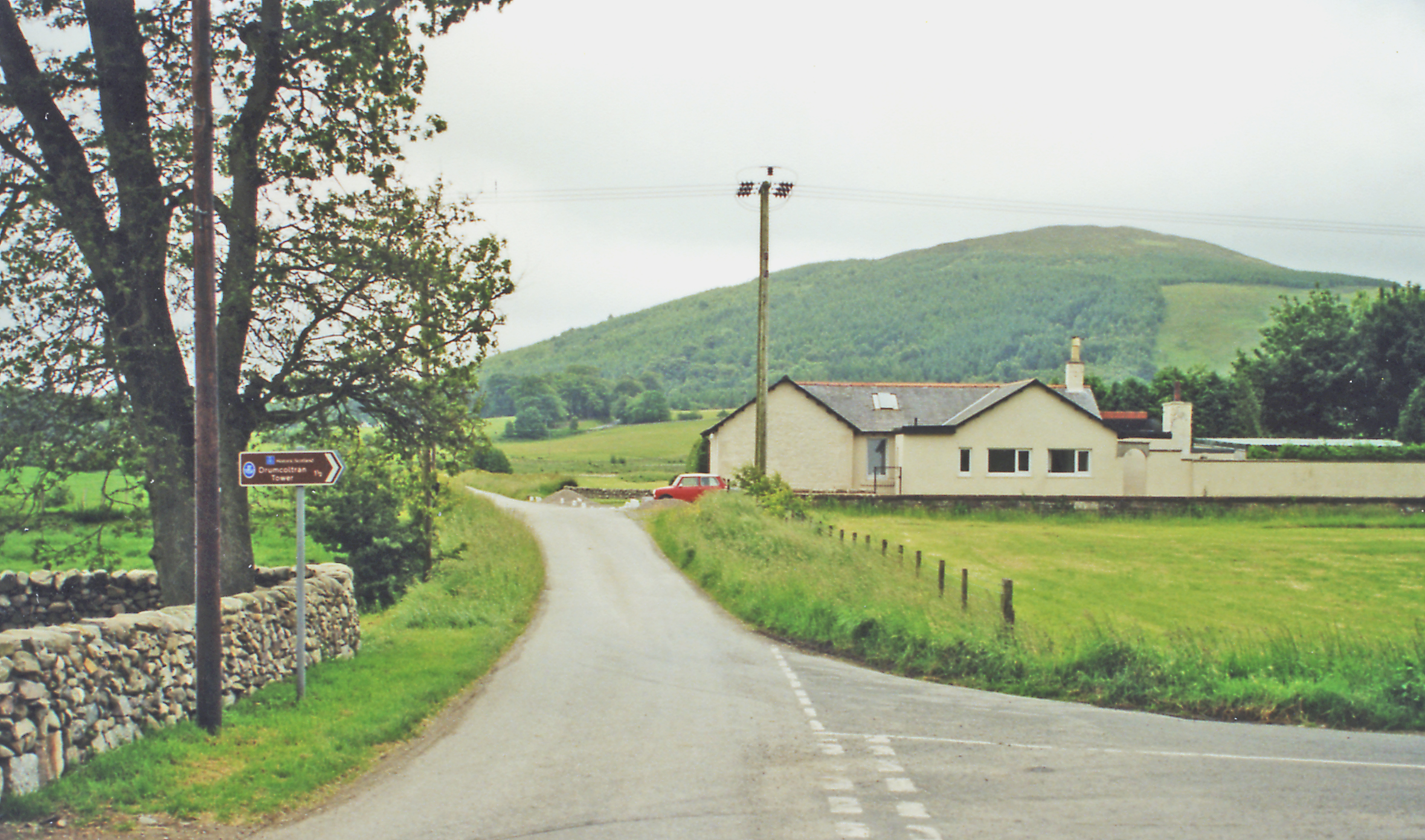
Although Killywhan is a peaceful village, it benefits from its proximity to Castle Douglas, where residents and visitors can find a range of amenities including shops, restaurants, and schools. The village's location also allows for easy access to the A75 road, connecting it to other major towns and cities in the region.

Overall, Killywhan is a charming and idyllic village that offers a tranquil escape amidst the stunning Scottish countryside.

If you have any feedback on the listing, please let us know in the comments section below.
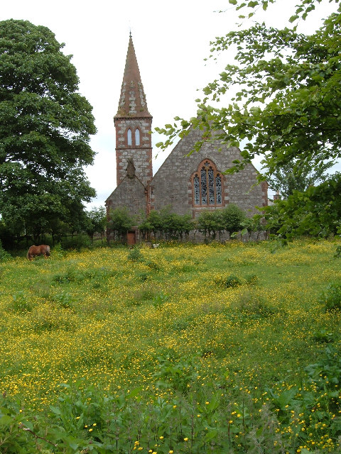
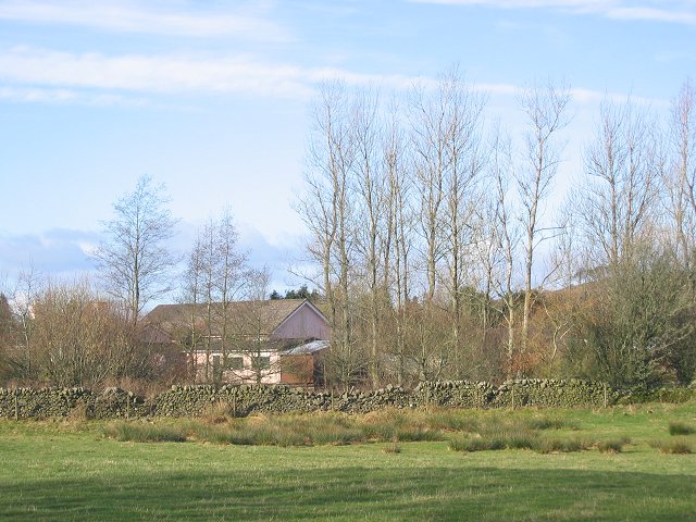
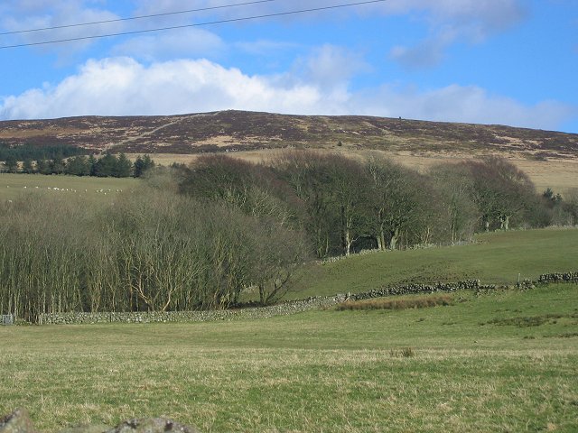
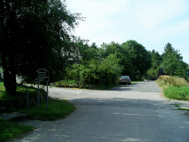
Killywhan Images

Images are sourced within 2km of 55.006902/-3.7396477 or Grid Reference NX8869. Thanks to Geograph Open Source API. All images are credited.

Beeswing Church complete with guard horse!
Beeswing Church
complete with guard horse!
Whiteside House just off the A711.
Whiteside
House just off the A711.
Whiteside View east and up the hill as farmland gives way to moorland on granite hills.
Whiteside
View east and up the hill as farmland gives way to moorland on granite hills.
Loch Arthur Creamery Loch Arthur Community belongs to the Camphill Village Trust. It was established in 1984 and offers a shared way of life providing support and challenges for men and women with special needs. The Creamery provides work for some of the community members, who produce award-winning cheeses, butter and yoghurts which along with farm produce and crafts are sold in the shop.

There are now Camphill Communities in more than 20 countries. The first community was founded in 1940 at Camphill, near Aberdeen, by Karl Konig, an Austrian doctor who had come to Scotland as a refugee.
Loch Arthur Creamery
Loch Arthur Community belongs to the Camphill Village Trust. It was established in 1984 and offers a shared way of life providing support and challenges for men and women with special needs. The Creamery provides work for some of the community members, who produce award-winning cheeses, butter and yoghurts which along with farm produce and crafts are sold in the shop. There are now Camphill Communities in more than 20 countries. The first community was founded in 1940 at Camphill, near Aberdeen, by Karl Konig, an Austrian doctor who had come to Scotland as a refugee.
Burn Near Killywhan
Burn Near Killywhan
Track to Lawston
Track to Lawston
Track Leading to Abune the Brae
Field near Abune the Brae
Minor Road Near Old Blairshinnoch
Loch Arthur Creamery The Loch Arthur Creamery is the focus of the Loch Arthur Community, a rural community for adults with special needs. <span class="nowrap"><a title="http://www.camphill.org.uk/guide/locharth/locharth.htm" rel="nofollow ugc noopener" href="http://www.camphill.org.uk/guide/locharth/locharth.htm">Link</a><img style="margin-left:2px;" alt="External link" title="External link - shift click to open in new window" src="https://s1.geograph.org.uk/img/external.png" width="10" height="10"/></span>
Loch Arthur Creamery
The Loch Arthur Creamery is the focus of the Loch Arthur Community, a rural community for adults with special needs. LinkExternal link
Farm Shop, Loch Arthur Creamery This is the farm shop, the outlet for the Loch Arthur Creamery which is the focus of the Loch Arthur Community, a rural community for adults with special needs. <span class="nowrap"><a title="http://www.camphill.org.uk/guide/locharth/locharth.htm" rel="nofollow ugc noopener" href="http://www.camphill.org.uk/guide/locharth/locharth.htm">Link</a><img style="margin-left:2px;" alt="External link" title="External link - shift click to open in new window" src="https://s1.geograph.org.uk/img/external.png" width="10" height="10"/></span>
Farm Shop, Loch Arthur Creamery
This is the farm shop, the outlet for the Loch Arthur Creamery which is the focus of the Loch Arthur Community, a rural community for adults with special needs. LinkExternal link
Early Misty Morning at Bourock Looking over the fields towards Lochfoot.
Early Misty Morning at Bourock
Looking over the fields towards Lochfoot.
Cloud at Bourock A windy day - bringing mixed weather to Bourock.
Cloud at Bourock
A windy day - bringing mixed weather to Bourock.
View across to Lochrutton View from Cauldside near Bourock - Lochrutton in the distance
View across to Lochrutton
View from Cauldside near Bourock - Lochrutton in the distance
Make Silage when the Sun Shines
Looking over to Drum
Abune the Brae
Abune the Brae
View towards Drum
View towards Drum
Show me another place!

Killywhan is located at Grid Ref: NX8869 (Lat: 55.006902, Lng: -3.7396477)

Unitary Authority: Dumfries and Galloway

Police Authority: Dumfries and Galloway

What 3 Words

///offshore.microfilm.seriously. Near Dalbeattie, Dumfries & Galloway

Nearby Locations

Killywhan Killywhan Hill

Related Wikis

Killywhan railway station

Killywhan railway station served the hamlet of Killywhan, Dumfries and Galloway, Scotland from 1859 to 1959 on the Castle Douglas and Dumfries Railway...

Beeswing, Dumfries and Galloway

Beeswing is a small village in the historical county of Kirkcudbrightshire in Scotland. == Etymology == Before Beeswing became known as Beeswing, it was...

Loch Arthur

Loch Arthur (also known as Loch Lotus) is a lake in the council area of Dumfries and Galloway in Scotland near the village of Beeswing.Loch Arthur lies...

Loch Arthur logboat

The Loch Arthur logboat or dugout canoe (also called Loch Arthur 1, Loch Lotus or Lotus Loch) was found in 1874 when the water level was low on the south...

Nearby Amenities

Located within 500m of 55.006902,-3.7396477
Killywhan
Abandoned Railway: station
Railway: site
Ref: CJD
Lat/Long: 55.0061852/-3.7395611
Power: pole
Lat/Long: 55.0101384/-3.734276
Power: pole
Lat/Long: 55.0096616/-3.7348634
Power: pole
Lat/Long: 55.0091002/-3.7356117
Power: pole
Lat/Long: 55.0086111/-3.7362823
Power: pole
Lat/Long: 55.0081527/-3.7369716
Power: pole
Lat/Long: 55.0075744/-3.7377575
Power: pole
Lat/Long: 55.0071499/-3.738357
Power: pole
Lat/Long: 55.0066069/-3.739108
Power: pole
Lat/Long: 55.0059793/-3.7398925
Power: pole
Lat/Long: 55.0053686/-3.740606
Power: pole
Lat/Long: 55.0048271/-3.7413222
Power: pole
Lat/Long: 55.004238/-3.7420303
Power: pole
Lat/Long: 55.0036088/-3.7428296
Power: pole
Lat/Long: 55.0030843/-3.7434545
Power: pole
Lat/Long: 55.0046806/-3.7340752
Power: pole
Lat/Long: 55.003863/-3.744849
Power: pole
Lat/Long: 55.0045346/-3.7439877
Power: pole
Lat/Long: 55.0050432/-3.7433322
Power: pole
Lat/Long: 55.0055651/-3.7426448
Power: pole
Lat/Long: 55.0060956/-3.7419935
Power: pole
Lat/Long: 55.0067245/-3.7412128
Power: pole
Lat/Long: 55.0076041/-3.7407737
Power: pole
Lat/Long: 55.0084789/-3.7409264
Power: pole
Lat/Long: 55.0093754/-3.7410792
Power: pole
Lat/Long: 55.0099484/-3.7411746
Power: pole
Lat/Long: 55.0107294/-3.7412638
Power: pole
Lat/Long: 55.0063924/-3.7401351
Power: pole
Lat/Long: 55.0061308/-3.739382
The data included in this document is from www.openstreetmap.org. The data is made available under ODbL.

Have you been to Killywhan?

Leave your review of Killywhan below (or comments, questions and feedback).