Kenninghall Heath
Settlement in Norfolk Breckland
England
Kenninghall Heath
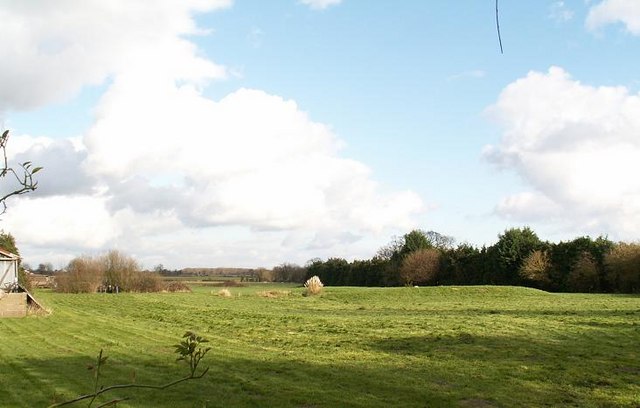
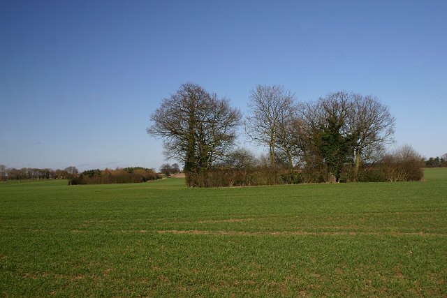
Kenninghall Heath is a picturesque heathland located in the county of Norfolk, England. Situated near the village of Kenninghall, it covers an area of approximately 200 hectares. The heath is designated as a Site of Special Scientific Interest (SSSI) due to its unique biodiversity and geological features.
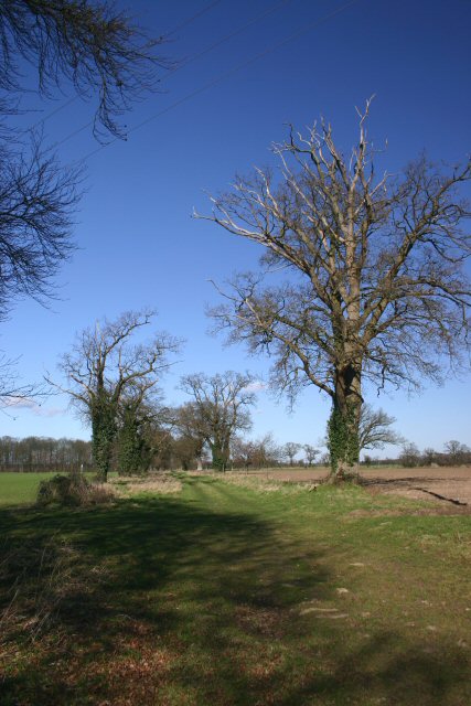
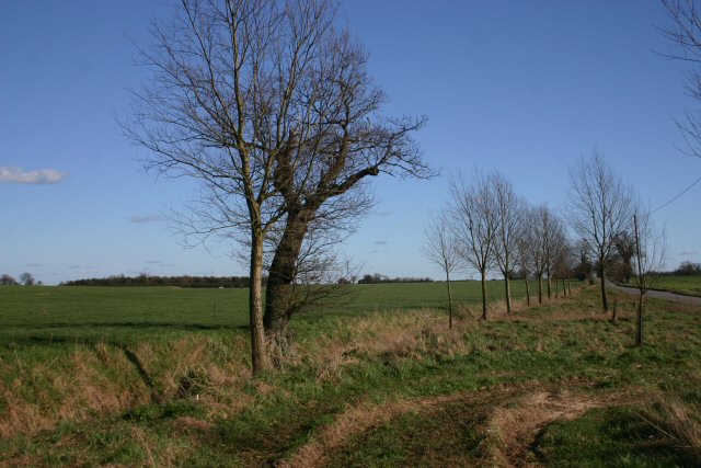
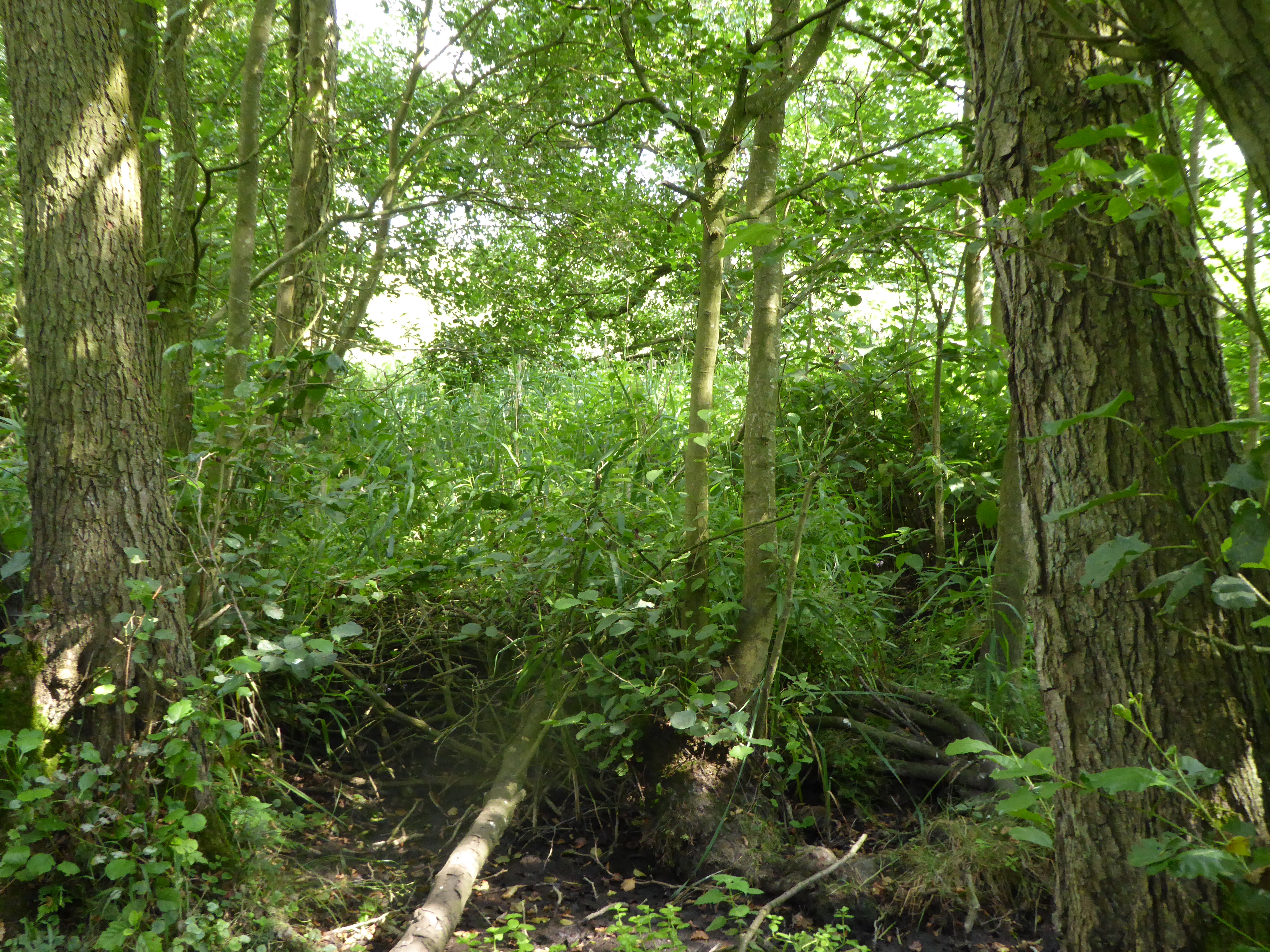
The heathland is characterized by its open, undulating terrain and is predominantly covered by heather, gorse, and grasses. It is interspersed with small pockets of woodland, providing a diverse habitat for a variety of plant and animal species. Notably, the heath is home to a population of rare and protected species such as the Dartford warbler and the silver-studded blue butterfly.
Visitors to Kenninghall Heath can enjoy leisurely walks along the network of footpaths that crisscross the area, offering stunning views of the surrounding countryside. The heath is a haven for nature lovers, birdwatchers, and photographers, who can capture the beauty of the landscape and its wildlife.
Moreover, the heath has a rich historical background. It was once part of a royal hunting ground during the medieval period and contains several archaeological sites, including Bronze Age burial mounds and Iron Age settlements. These remnants of the past add to the allure of Kenninghall Heath, attracting history enthusiasts and researchers.
Overall, Kenninghall Heath is a remarkable natural and historical treasure in Norfolk, offering visitors the opportunity to appreciate its diverse flora and fauna, explore its scenic trails, and delve into its intriguing past.
If you have any feedback on the listing, please let us know in the comments section below.
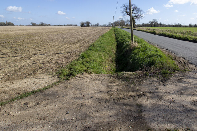
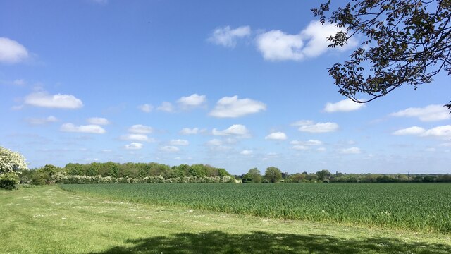
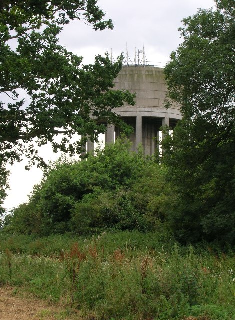
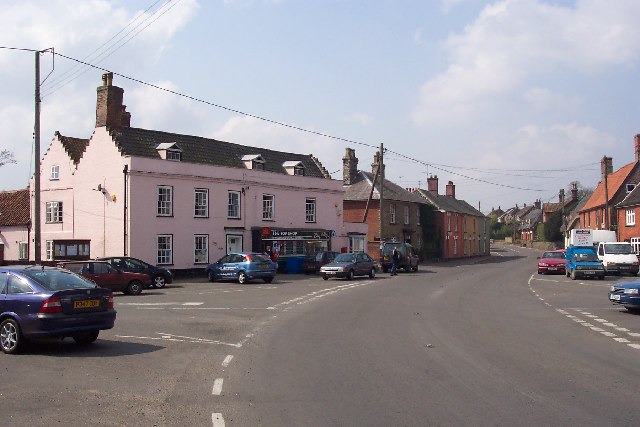
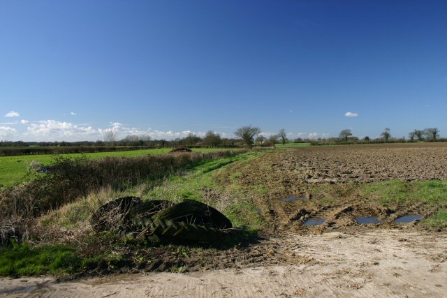
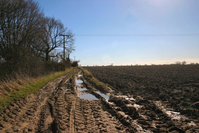
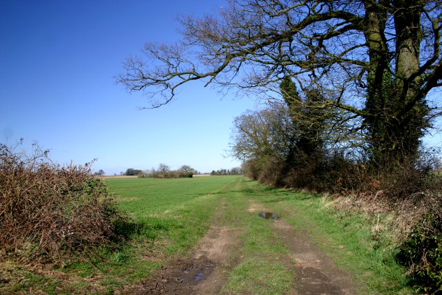
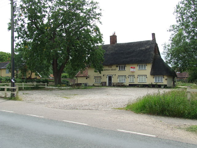
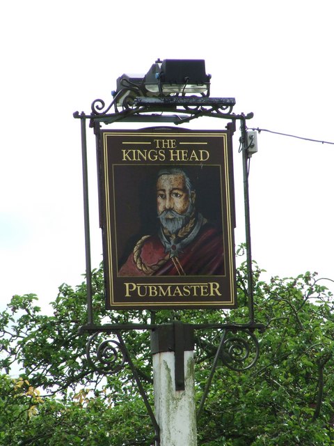
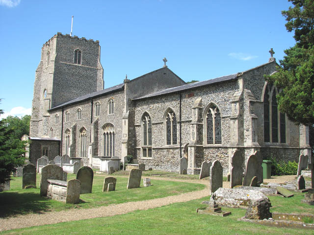
Kenninghall Heath Images
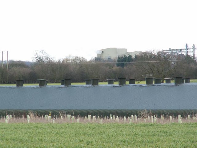
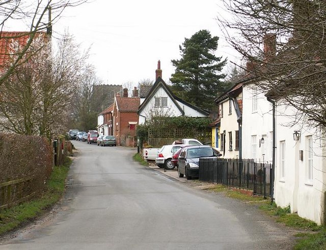
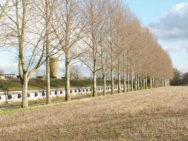
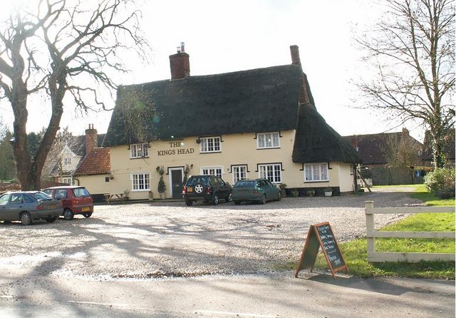
Images are sourced within 2km of 52.423375/0.99119919 or Grid Reference TM0384. Thanks to Geograph Open Source API. All images are credited.
Kenninghall Heath is located at Grid Ref: TM0384 (Lat: 52.423375, Lng: 0.99119919)
Administrative County: Norfolk
District: Breckland
Police Authority: Norfolk
What 3 Words
///washable.odds.judge. Near East Harling, Norfolk
Nearby Locations
Related Wikis
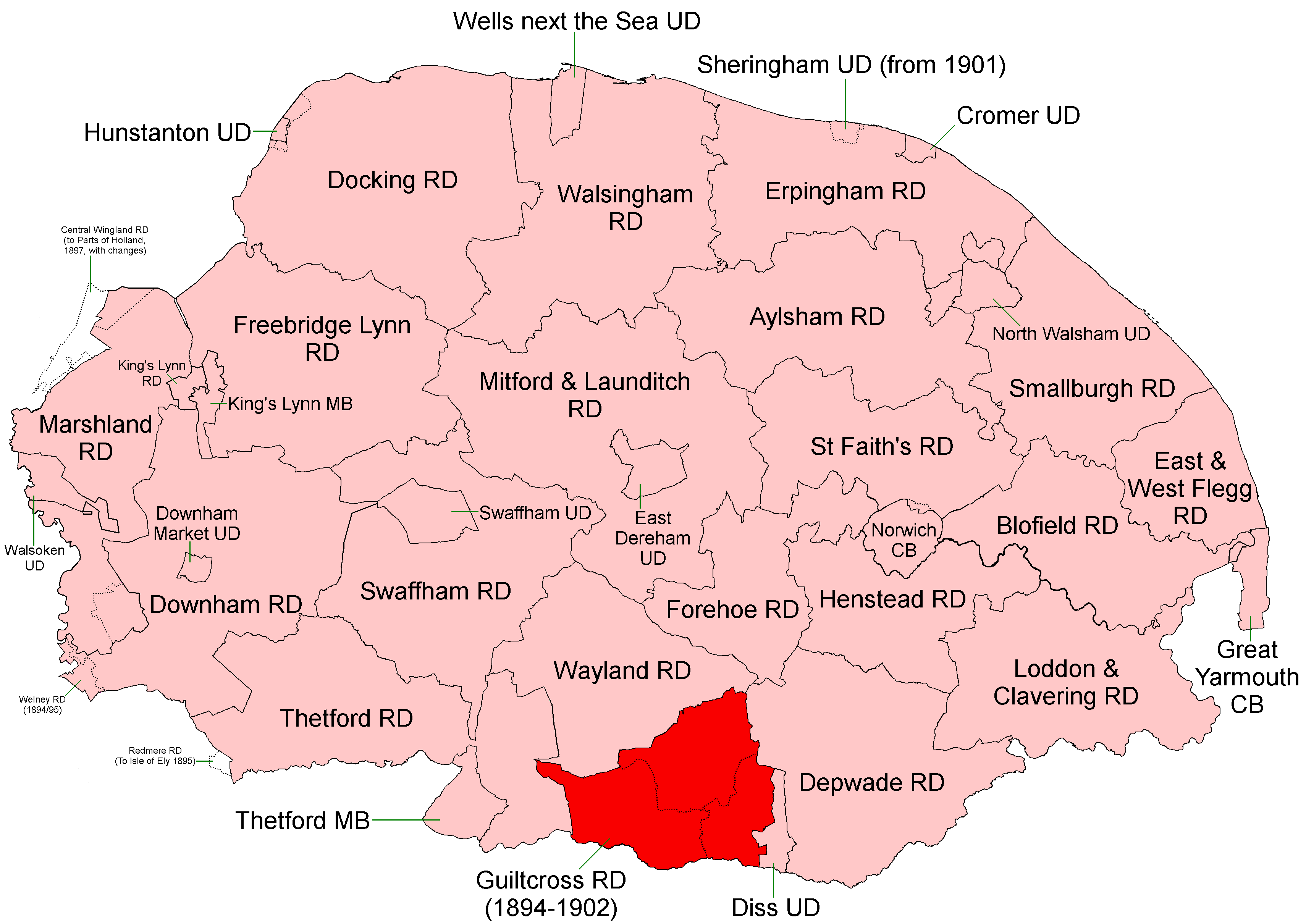
Guiltcross Rural District
Guiltcross Rural District was a rural district in Norfolk, England from 1894 to 1902.It was formed under the Local Government Act 1894 based on the Guiltcross...
Kenninghall
Kenninghall is a village and civil parish in Norfolk, England, with an area of 5.73 sq mi (14.8 km2) and a population of 950 at the 2011 census. It falls...

North Lopham
North Lopham is a village and civil parish in the English county of Norfolk. It covers an area of 8.17 km2 (3.15 sq mi) and had a population of 623 in...
Kenninghall and Banham Fens with Quidenham Mere
Kenninghall and Banham Fens with Quidenham Mere is a 48.4-hectare (120-acre) biological Site of Special Scientific Interest west of Banham, in Norfolk...
Nearby Amenities
Located within 500m of 52.423375,0.99119919Have you been to Kenninghall Heath?
Leave your review of Kenninghall Heath below (or comments, questions and feedback).