Kelland Court
Settlement in Devon Mid Devon
England
Kelland Court

Kelland Court is a charming residential area located in the county of Devon, England. Situated in the historic market town of Tiverton, this neighborhood offers a peaceful and picturesque setting for its residents.
The court is comprised of a cluster of houses, which are predominantly detached or semi-detached, surrounded by well-maintained gardens and green spaces. The architecture of the properties varies, ranging from traditional English cottages to more modern designs, providing a diverse and appealing streetscape.
Kelland Court benefits from its convenient location, with easy access to amenities and services in Tiverton town center. Residents can enjoy a range of shops, restaurants, and cafes, making it a desirable place to live for individuals and families alike. The town's schools, including Tiverton High School and Petroc College, are also within close proximity, ensuring a good education for children.
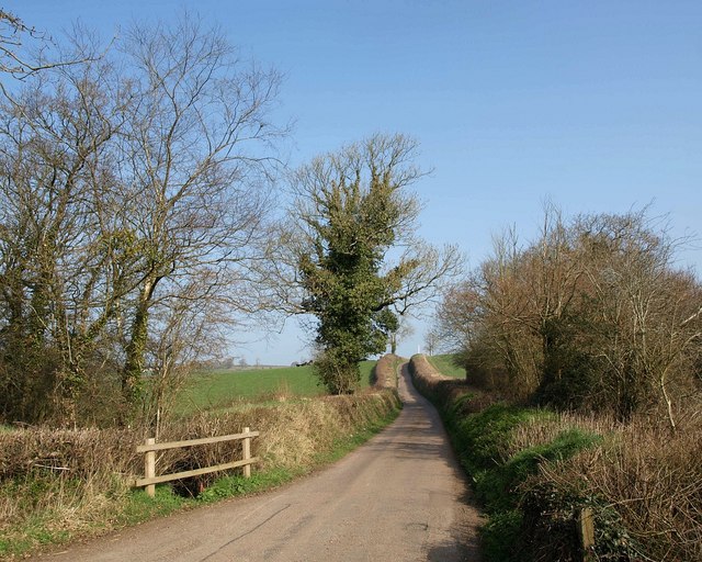
Nature lovers will appreciate the nearby countryside, with scenic walks and cycle routes available in the surrounding area. The Grand Western Canal, a popular attraction, provides opportunities for boating and fishing, allowing residents to take full advantage of the beautiful Devon landscape.
Transportation links are excellent, with the M5 motorway and Tiverton Parkway railway station both easily accessible, making it convenient for commuters to travel to other parts of the country.
Overall, Kelland Court offers a peaceful and idyllic living environment, combining the charm of a rural setting with the convenience of nearby amenities.
If you have any feedback on the listing, please let us know in the comments section below.
Kelland Court Images
Images are sourced within 2km of 50.853979/-3.8083195 or Grid Reference SS7207. Thanks to Geograph Open Source API. All images are credited.


Kelland Court is located at Grid Ref: SS7207 (Lat: 50.853979, Lng: -3.8083195)
Administrative County: Devon
District: Mid Devon
Police Authority: Devon and Cornwall
What 3 Words
///pegs.veto.dinner. Near Morchard Bishop, Devon
Nearby Locations
Related Wikis

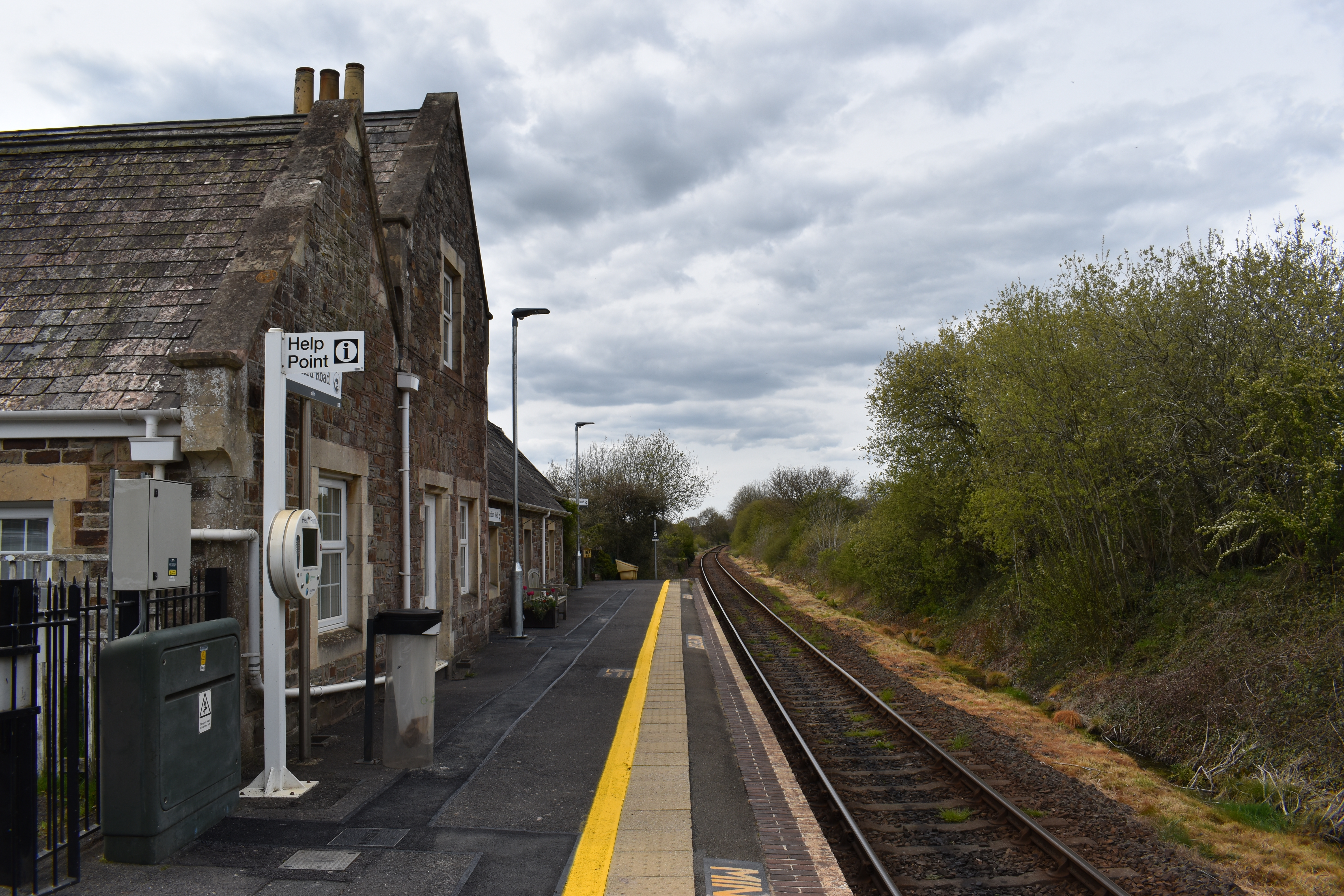
Lapford railway station
Lapford railway station is a rural station on the Tarka Line, serving the village of Lapford in Devon. It is 18 miles 35 chains (29.7 km) from Exeter Central...

Lapford
Lapford is a village and civil parish in Mid Devon in the English county of Devon. It had a population of 993 in 2001, reducing to 867 at the 2011 census...
Nymet Rowland
Nymet Rowland is a small village, and civil parish of the same name, in central Devon, England, north of Dartmoor. It takes part of its name from "Nymet...
Eastington, Devon
Eastington is a hamlet in the English county of Devon. Eastington is about one mile east of the village of Lapford. The hamlet comprises a dairy farm and...

Coldridge
Coldridge or Coleridge is a village and parish in Devon, England. It appears in the Domesday Book of 1086 as Colrige, which is thought to mean ‘the ridge...
Morchard Road railway station
Morchard Road railway station is located in the village of Down St Mary in Devon, England. It is named after the village of Morchard Bishop which lies...

Morchard Road
Morchard Road is a small hamlet in mid Devon, UK. It has a pub, the Devonshire Dumpling. It also has a railway station on the Tarka Line. == External... ==

Down St Mary
Down St Mary is a small village, and civil parish off the A377 in Mid Devon in the English county of Devon. It has a population of 316. == References... ==
Nearby Amenities
Located within 500m of 50.853979,-3.8083195Have you been to Kelland Court?
Leave your review of Kelland Court below (or comments, questions and feedback).