Kellan

Settlement in Argyllshire

Scotland

Kellan

Killiechronan camp site A simple site that does not need commitment to use.  The sort that is all too rare and all too needed now.
Killiechronan camp site Credit: Richard Webb

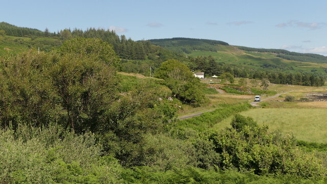
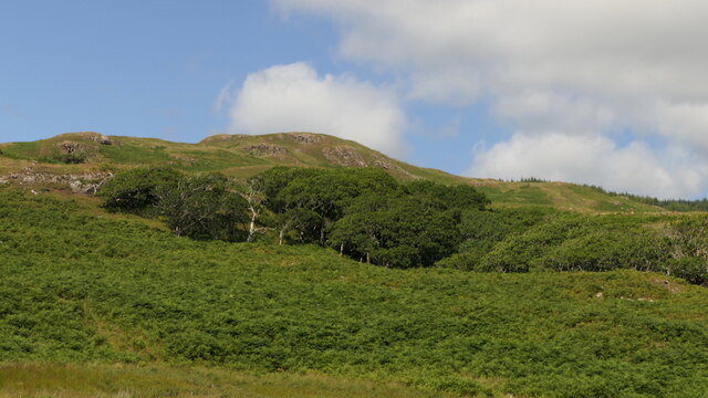
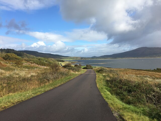
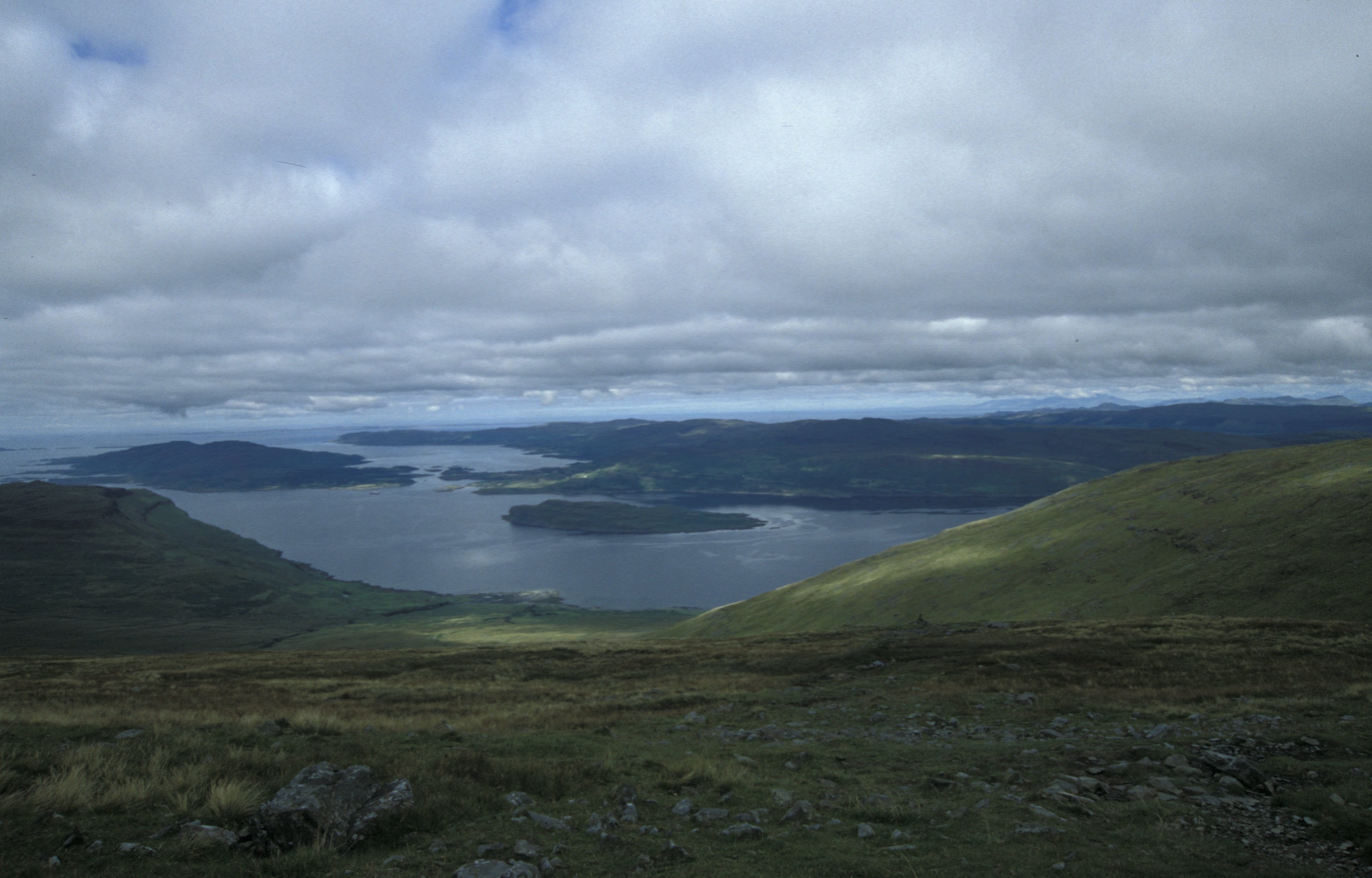
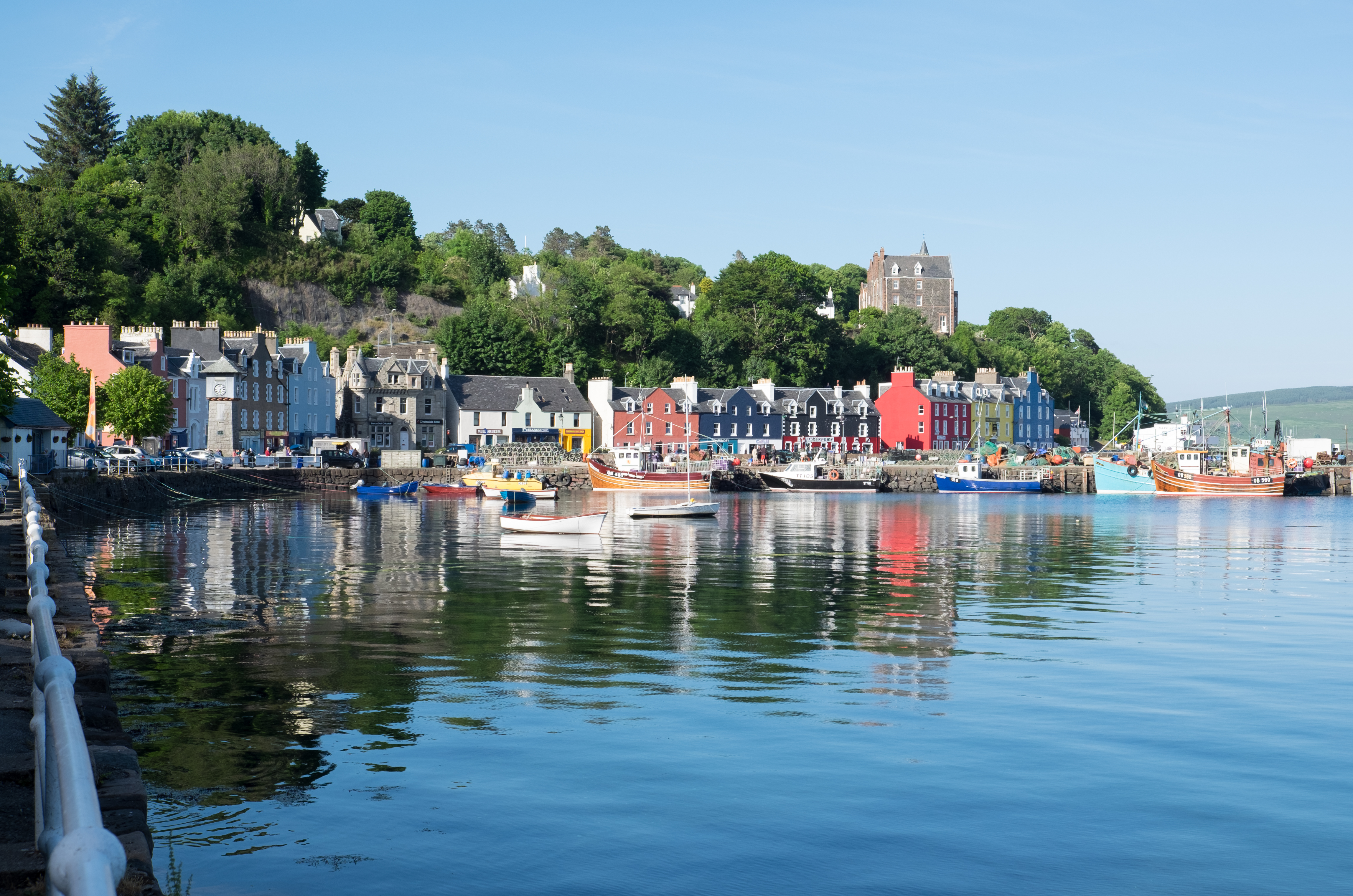
Kellan is a small village located in Argyllshire, Scotland. It is situated on the eastern shore of the Kintyre Peninsula, overlooking the picturesque Kilbrannan Sound. The village is surrounded by stunning natural beauty, with rolling hills, lush green valleys, and breathtaking coastal views.

The population of Kellan is relatively small, with just over 100 residents. Despite its size, the village has a close-knit community that is known for its warmth and friendliness. The residents of Kellan take pride in their local heritage and are dedicated to preserving the natural environment that surrounds them.

One of the notable landmarks in Kellan is the historic Kellan Castle, which dates back to the 16th century. This well-preserved ruin stands on a rocky promontory, offering visitors a glimpse into the area's rich history. The castle is a popular attraction for tourists interested in exploring Scotland's medieval past.

Nature enthusiasts will also find plenty to explore in Kellan and its surrounding area. The village is close to the Mull of Kintyre, a rugged headland that offers stunning views of the Atlantic Ocean. There are also several hiking trails and nature reserves nearby, providing opportunities for bird-watching, wildlife spotting, and peaceful walks in the countryside.

In terms of amenities, Kellan has a few local shops and a small pub, where locals and visitors can gather for a pint and a chat. For more extensive services and facilities, the nearby town of Campbeltown is easily accessible.

Overall, Kellan offers a tranquil and idyllic setting for those seeking a peaceful retreat amidst Scotland's natural splendor.

If you have any feedback on the listing, please let us know in the comments section below.

Kellan Images

Images are sourced within 2km of 56.491346/-6.0315452 or Grid Reference NM5140. Thanks to Geograph Open Source API. All images are credited.

Killiechronan camp site A simple site that does not need commitment to use.  The sort that is all too rare and all too needed now.
Killiechronan camp site
A simple site that does not need commitment to use. The sort that is all too rare and all too needed now.
Kellan Seen from a car park overlooking Loch na Keal.
Kellan
Seen from a car park overlooking Loch na Keal.
Hillside above Kellan
B8073 near Killiemor Cottage
B8073 near Kellan Mill Lodge
B8073 along Loch na Keal
B8073 towards Killiechronan
Field near Killiechronan
River Ba Estuary at Killiekronan On the left is the Killiekronan campsite. In the middle of the picture is the river bed still marked as the course of the river on the OS map. A few years age the river broke through a shingle bank in a storm making a shorter route into Loch na Keal. The new position of the River can be seen on the extreme right
River Ba Estuary at Killiekronan
On the left is the Killiekronan campsite. In the middle of the picture is the river bed still marked as the course of the river on the OS map. A few years age the river broke through a shingle bank in a storm making a shorter route into Loch na Keal. The new position of the River can be seen on the extreme right
North shore of Loch na Keal Taken just west of the entrance to Kellan Old Farm.
North shore of Loch na Keal
Taken just west of the entrance to Kellan Old Farm.
Seat, Loch na Keal Looking across the loch to Glen Cannel.
Seat, Loch na Keal
Looking across the loch to Glen Cannel.
Shore Below Kellan Wood
River Ba, Loch na Keal The outflow of the River Ba into the loch has completely changed since the OS Map was drawn. The river no longer flows north in a big loop before discharging into the loch but takes a more direct route. A significant slice of a field belonging to Killiechronan Farm has disappeared in the process. The farm can be seen in the distance.
River Ba, Loch na Keal
The outflow of the River Ba into the loch has completely changed since the OS Map was drawn. The river no longer flows north in a big loop before discharging into the loch but takes a more direct route. A significant slice of a field belonging to Killiechronan Farm has disappeared in the process. The farm can be seen in the distance.
Old Course of the River Ba The OS 1:25000 map shows the river flowing north west at this point but it is now taking a more direct linne to the loch. Leaving an elongated muddy pool at the MHWS mark.
Old Course of the River Ba
The OS 1:25000 map shows the river flowing north west at this point but it is now taking a more direct linne to the loch. Leaving an elongated muddy pool at the MHWS mark.
Loch na Keal From the north shore near Kellan Old Farm to Glen Ba.
Loch na Keal
From the north shore near Kellan Old Farm to Glen Ba.
Shore Below Kellan Wood (SW View)
Heron Feeding at Low Tide, Kellan
River Ba At its mouth in Loch na Keal at low tide. In the distance in the photo is Glen Ba with Beinn Ghraig dominant at 591m
River Ba
At its mouth in Loch na Keal at low tide. In the distance in the photo is Glen Ba with Beinn Ghraig dominant at 591m
Show me another place!

Kellan is located at Grid Ref: NM5140 (Lat: 56.491346, Lng: -6.0315452)

Unitary Authority: Argyll and Bute

Police Authority: Argyll and West Dunbartonshire

What 3 Words

///cage.probing.necklaces. Near Salen, Argyll & Bute

Related Wikis

Easan Labhar

Easan Labhar is a series of waterfalls on the island of Mull, Scotland. It lies on the Allt an Easain Labhair near Gruline west of Salen. There are also...

Inner Hebrides

The Inner Hebrides ( HEB-rid-eez; Scottish Gaelic: na h-Eileanan a-staigh, lit. 'the Inner Isles') is an archipelago off the west coast of mainland Scotland...

Loch na Keal

Loch na Keal (Scottish Gaelic: Loch na Caol), meaning Loch of the Kyle, or Narrows, also Loch of the Cliffs, is the principal sea loch on the western,...

Eorsa

Eorsa is an uninhabited island in the Inner Hebrides of Scotland. == Geography == Eorsa lies in Loch na Keal on the west coast of the Isle of Mull, to...

Isle of Mull

The Isle of Mull (Scottish Gaelic: An t-Eilean Muileach [əɲ ˈtʲʰelan ˈmuləx]) or just Mull (Scots pronunciation: [mʌl]; Scottish Gaelic: Muile [ˈmulə]...

Loch Bà (Mull)

Loch Bà is a freshwater loch, about 5 km long, in the centre of the Isle of Mull, in Scotland. It is drained by the River Bà, flowing into Loch na Keal...

Salen, Mull

Salen (Scottish Gaelic: An t-Sàilean) is a settlement on the Isle of Mull, Scotland. It is on the east coast of the island, on the Sound of Mull, approximately...

Aros Castle

Aros Castle, also known as Dounarwyse Castle, is a ruined 13th-century castle near Salen on the Isle of Mull, Scotland. The castle overlooks the Sound...

Nearby Amenities

Located within 500m of 56.491346,-6.0315452
Passing Place
Lat/Long: 56.4894442/-6.0356521
Power: pole
Lat/Long: 56.4952236/-6.0297403
Power: pole
Lat/Long: 56.4948027/-6.0306966
Power: pole
Lat/Long: 56.4937402/-6.031422
Power: pole
Lat/Long: 56.4931486/-6.0317929
Power: pole
Lat/Long: 56.4927061/-6.0316878
Power: pole
Lat/Long: 56.4922658/-6.0316054
Power: pole
Lat/Long: 56.4895114/-6.0381568
Power: pole
Lat/Long: 56.4898902/-6.0372541
Power: pole
Lat/Long: 56.4901451/-6.0366627
Power: pole
Lat/Long: 56.49064/-6.0354736
Power: pole
Lat/Long: 56.4910155/-6.0345792
Power: pole
Lat/Long: 56.4913693/-6.0337219
Power: pole
Lat/Long: 56.4918517/-6.0325884
Passing Place
Lat/Long: 56.4890397/-6.0373793
Passing Place
Lat/Long: 56.4907012/-6.0330187
Passing Place
Lat/Long: 56.4919322/-6.0300677
Passing Place
Lat/Long: 56.4923246/-6.028925
Passing Place
Lat/Long: 56.4928701/-6.0271687
The data included in this document is from www.openstreetmap.org. The data is made available under ODbL.

Have you been to Kellan?

Leave your review of Kellan below (or comments, questions and feedback).