Kellah
Settlement in Northumberland
England
Kellah
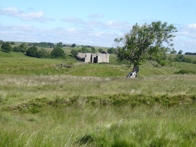
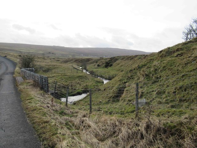
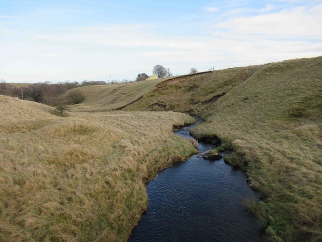
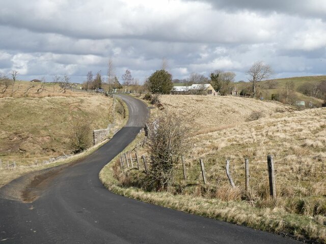
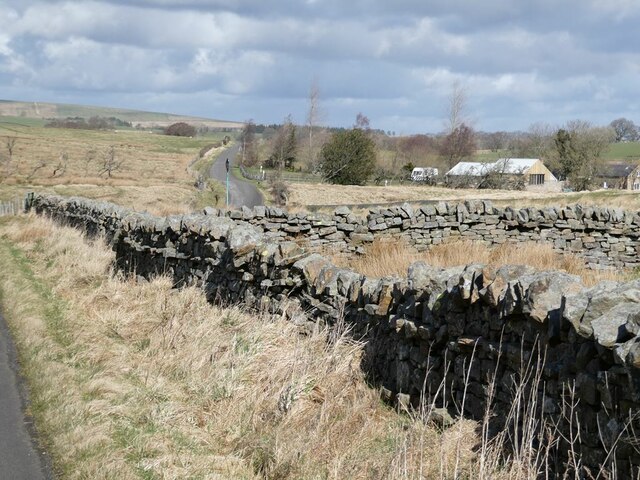
Kellah is a small village located in the county of Northumberland, England. Situated about 5 miles northwest of Haltwhistle, Kellah is nestled in the scenic beauty of the Tyne Valley. The village is surrounded by rolling hills and picturesque countryside, offering residents and visitors a tranquil and idyllic setting.
Despite its small size, Kellah has a rich history that dates back centuries. The village is known for its ancient Roman roots, with remnants of a Roman fort, Vindolanda, located nearby. This attracts history enthusiasts and tourists from far and wide, as they explore the well-preserved ruins and artifacts from this significant period.
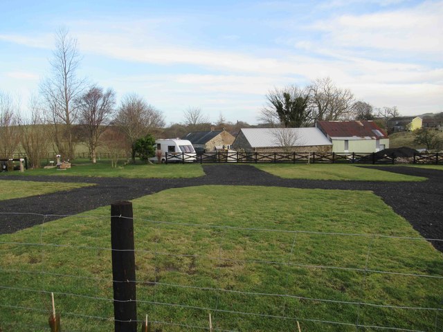
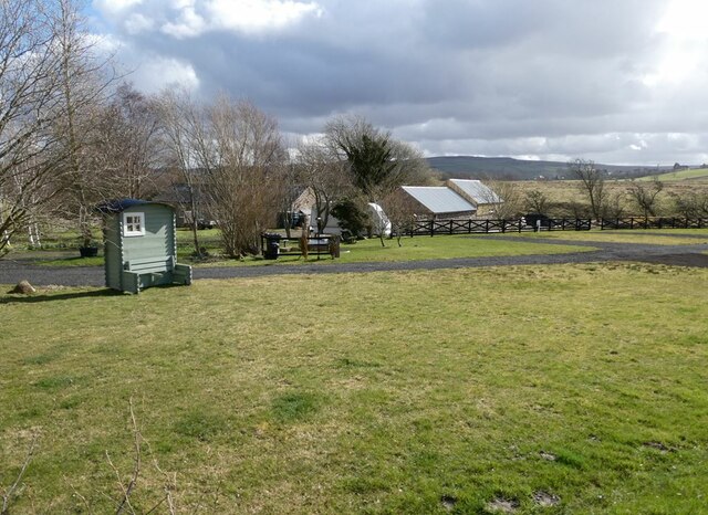
The village itself is home to a close-knit community, with a population of approximately 200 residents. The village center features a few traditional stone cottages, a village hall, and a local pub, providing a sense of community and gathering place for locals and visitors alike.
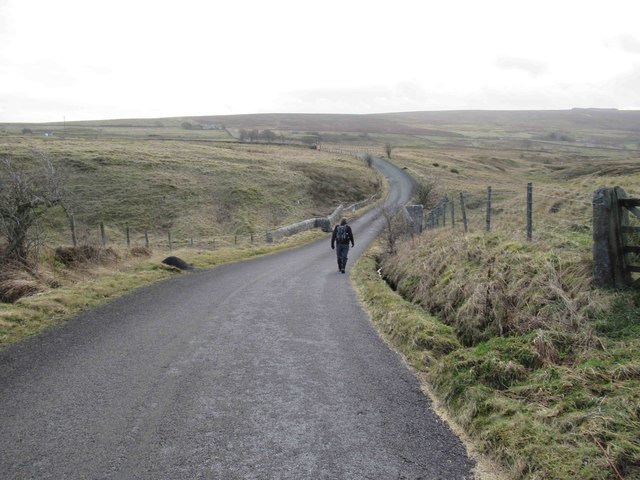
Kellah offers a range of outdoor activities for those who appreciate the natural beauty of Northumberland. The surrounding area provides ample opportunities for hiking, cycling, and exploring the nearby Northumberland National Park. Additionally, the nearby Hadrian's Wall, a UNESCO World Heritage Site, is easily accessible, allowing visitors to experience the historical significance of this ancient Roman fortification.
Overall, Kellah is a charming village with a rich historical background, stunning natural surroundings, and a warm community spirit, making it a delightful destination for anyone seeking a peaceful retreat or a glimpse into the region's past.
If you have any feedback on the listing, please let us know in the comments section below.
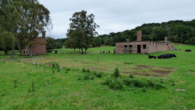
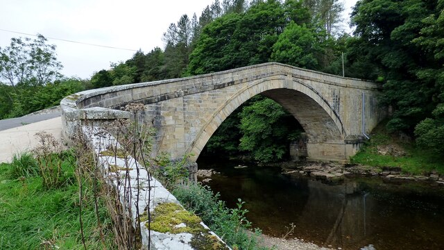
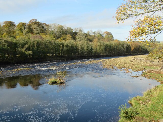
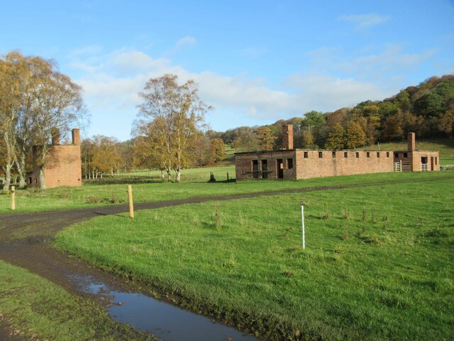
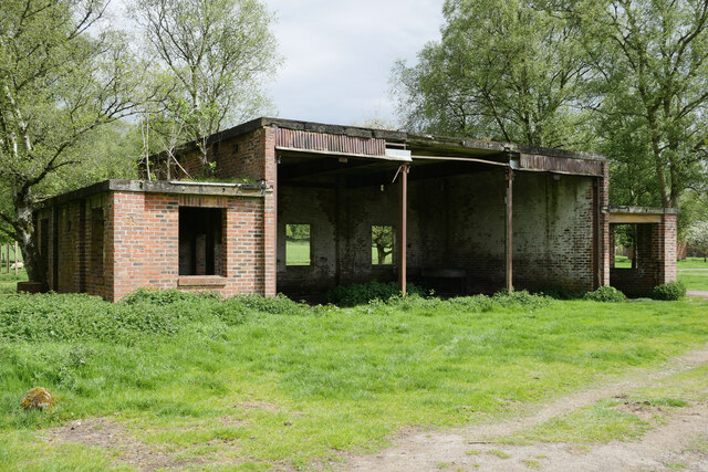
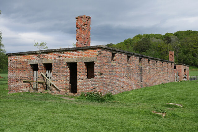
Kellah Images
Images are sourced within 2km of 54.944205/-2.5335412 or Grid Reference NY6561. Thanks to Geograph Open Source API. All images are credited.
Kellah is located at Grid Ref: NY6561 (Lat: 54.944205, Lng: -2.5335412)
Unitary Authority: Northumberland
Police Authority: Northumbria
What 3 Words
///allergy.vibe.chainsaw. Near Greenhead, Northumberland
Nearby Locations
Related Wikis

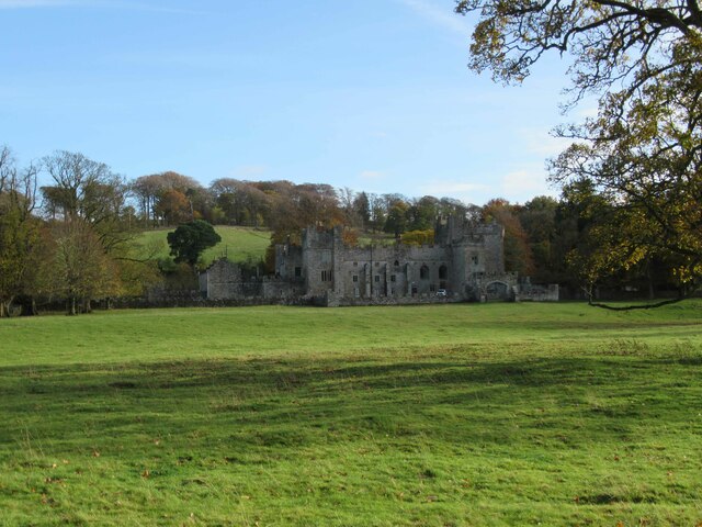
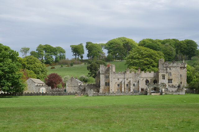
Featherstone Castle
Featherstone Castle, a Grade I listed building, is a large Gothic style country mansion situated on the bank of the River South Tyne about 3 miles (5 km...

Featherstone, Northumberland
Featherstone is a village in Northumberland, England about 17 miles (27 km) west of Hexham, and about 3 kilometres (2 mi) south of Greenhead. == Featherstone... ==

Featherstone Park railway station
Featherstone Park was a railway station on the Alston Branch Line, which ran between Haltwhistle and Alston. The station, situated 3 miles (5 km) south...
Rowfoot
Rowfoot is a hamlet in Northumberland, England at grid reference NY6849860722. == External links == Media related to Rowfoot at Wikimedia Commons

Halton Lea Gate
Halton Lea Gate is a small village in Northumberland, England, on the A689 road close to the boundary of the counties of Northumberland and Cumbria. The...

Coanwood railway station
Coanwood was a railway station on the Alston Branch Line, which ran between Haltwhistle and Alston. The station, situated 4 miles (6 km) south-west of...
Midgeholme Coalfield
The Midgeholme Coalfield is a coalfield in Midgeholme, on the border of Cumbria with Northumberland in northern England. It is the largest of a series...

Coanwood
Coanwood is a village in Northumberland, England, and is part of the Parish of Haltwhistle. It is about four miles (6 km) to the south-west of Haltwhistle...
Nearby Amenities
Located within 500m of 54.944205,-2.5335412Have you been to Kellah?
Leave your review of Kellah below (or comments, questions and feedback).