Kelleythorpe

Settlement in Yorkshire

England

Kelleythorpe

Looking west on the A614
Looking west on the A614 Credit: David Brown

Kelleythorpe is a small village located in the East Riding of Yorkshire, England. Situated approximately 2 miles north of Driffield, it is nestled in a picturesque countryside setting. The village is part of the civil parish of Nafferton and falls within the historic county boundaries of Yorkshire.

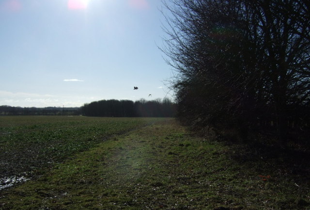
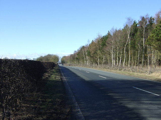
Kelleythorpe is primarily a residential area with a population of around 500 residents. The village boasts a close-knit community and a tranquil atmosphere, making it an ideal place for those seeking a peaceful countryside lifestyle. The rural landscape surrounding Kelleythorpe offers stunning views and ample opportunities for outdoor activities such as walking, cycling, and birdwatching.

Although it is a small village, Kelleythorpe benefits from its proximity to Driffield, which provides residents with access to a range of amenities including shops, supermarkets, schools, and healthcare facilities. The village itself has limited services, with a small convenience store and a pub catering to the local community's needs.

Historically, Kelleythorpe was known for its agricultural roots, with farming being a significant industry in the area. While the village has seen some modern development, it has managed to retain its rural charm and character.

Overall, Kelleythorpe offers a peaceful and idyllic lifestyle in a beautiful countryside setting, making it an attractive place for nature lovers and those looking for a close-knit community atmosphere.

If you have any feedback on the listing, please let us know in the comments section below.
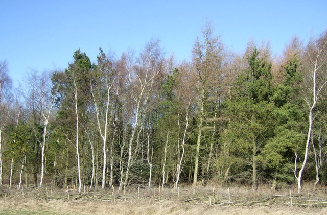
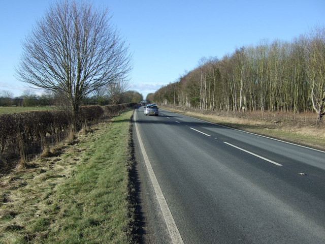
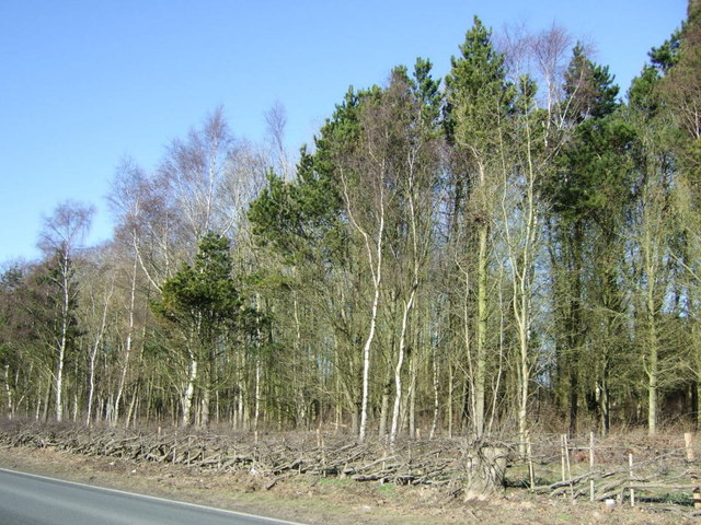
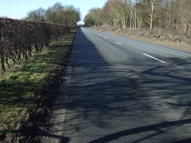
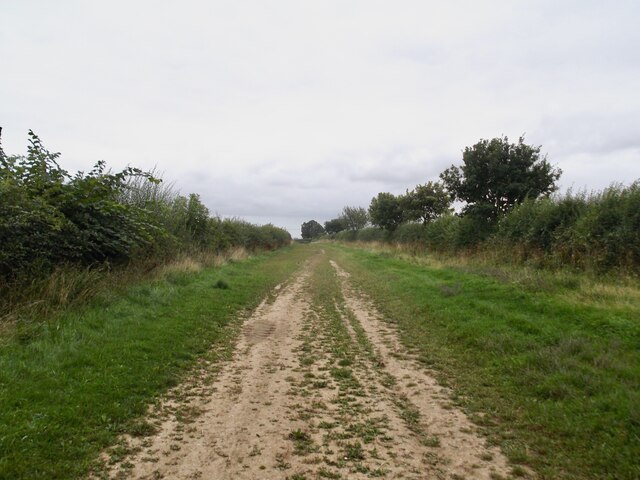
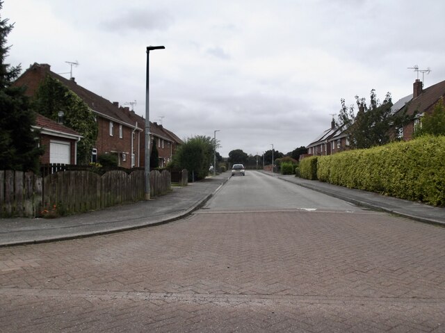
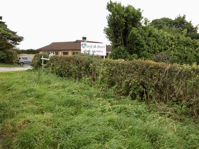
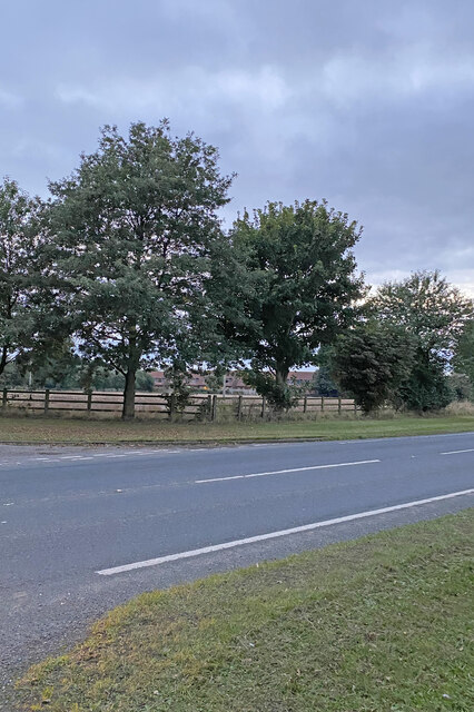
Kelleythorpe Images

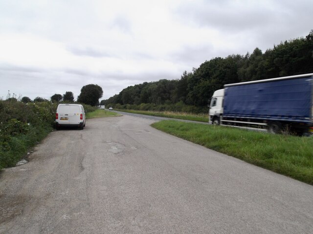
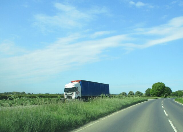
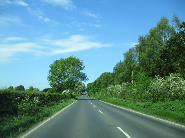
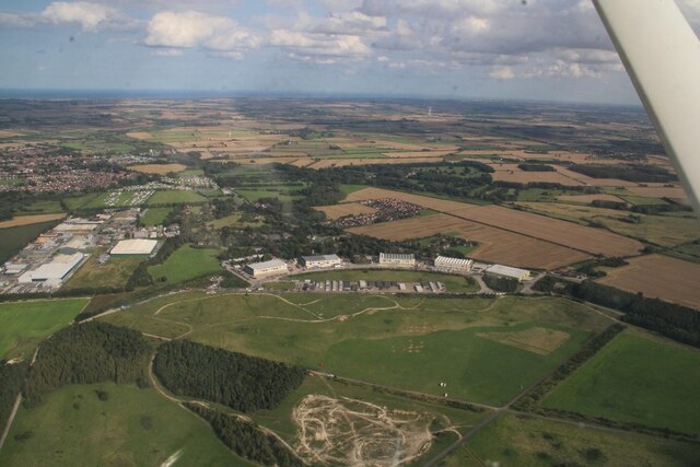
Images are sourced within 2km of 53.995186/-0.45731268 or Grid Reference TA0156. Thanks to Geograph Open Source API. All images are credited.

Looking west on the A614
Lorry  in  layby  on  A614  toward  Eastburn
Lorry in layby on A614 toward Eastburn
A614  toward  Eastburn.  MOD  land  to  the  right To the right behind trees the former RAF Driffield now county HQ for army cadet force
A614 toward Eastburn. MOD land to the right
To the right behind trees the former RAF Driffield now county HQ for army cadet force
A614  approaching  Eastburn On the left behind trees is the large farm and the site of the Medieval Village of Eastburn
A614 approaching Eastburn
On the left behind trees is the large farm and the site of the Medieval Village of Eastburn
Former RAF Driffield: aerial 2023
Woodland beside the A614
A614 towards Goole  Heading south west.
A614 towards Goole
Heading south west.
Woodland beside the A614 Near Eastburn.
Woodland beside the A614
Near Eastburn.
A614 towards Goole Heading south west near Eastburn.
A614 towards Goole
Heading south west near Eastburn.
Crop field and hedgerow South of the A614.
Crop field and hedgerow
South of the A614.
A614 towards Goole Heading south west.
A614 towards Goole
Heading south west.
Roundabout at Driffield Showground
Entrance to Driffield Golf Course
Green Lane to Skerne Leys
Auchinleck Close, Driffield The estate, which originally housed military personnel, has been extended and much of it is private housing
Auchinleck Close, Driffield
The estate, which originally housed military personnel, has been extended and much of it is private housing
Wild at Heart Day Nursery
A166 Driffield
A166 Driffield
Driffield, George Street The benchmark is cut into the gable end of the property 21 George Street.
Driffield, George Street
The benchmark is cut into the gable end of the property 21 George Street.
Show me another place!

Kelleythorpe is located at Grid Ref: TA0156 (Lat: 53.995186, Lng: -0.45731268)

Division: East Riding

Unitary Authority: East Riding of Yorkshire

Police Authority: Humberside

What 3 Words

///smooth.marinated.expose. Near Driffield, East Yorkshire

Related Wikis

Kelleythorpe

Kelleythorpe is a hamlet in the East Riding of Yorkshire, England, it forms part of the civil parish of Kirkburn. It is situated in the Yorkshire Wolds...
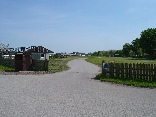
Driffield Show

Driffield Show is a one-day agricultural show held in mid-July in the town of Driffield. The showground is located southwest of the town near Kelleythorpe...

Sunderlandwick

Sunderlandwick is a hamlet in the East Riding of Yorkshire, England. It is situated approximately 1.5 miles (2.4 km) south of Driffield and lies to the...

Little Driffield

Little Driffield is a small village in the civil parish of Driffield, in the East Riding of Yorkshire, England. It is situated on the western outskirts...

Nearby Amenities

Located within 500m of 53.995186,-0.45731268
Showground
Driffield Showground
Lat/Long: 53.9951434/-0.4509793
Post Box
Collection Times: Mo-Fr 09:00; Sa 07:00
Post Box Type: lamp
Ref: YO25 387D
Royal Cypher: EIIR
Royal Cypher Wikidata: Q33102113
Lat/Long: 53.9962131/-0.4593999
Parking
Parking: layby
Lat/Long: 53.9983805/-0.4568335
Post Box
Collection Times: Mo-Fr 18:00; Sa 13:15
Post Box Design: type_k
Post Box Type: pillar
Ref: YO25 408
Royal Cypher: EIIR
Royal Cypher Wikidata: Q33102113
Lat/Long: 53.9992597/-0.4593161
Post Box
Collection Times: Mo-Fr 18:00; Sa 13:15
Post Box Type: meter
Ref: YO25 2024P
Royal Cypher: no
Lat/Long: 53.999278/-0.4593106
Crossing
Crossing: unmarked
Crossing Island: yes
Tactile Paving: yes
Lat/Long: 53.9950123/-0.4576333
Kelleythorpe
Place: hamlet
Wikidata: Q6385749
Lat/Long: 53.9937899/-0.4567954
Access: customers
Entrance: yes
Lat/Long: 53.9993223/-0.4593489
Generator Method: photovoltaic
Generator Output Electricity: yes
Generator Source: solar
Generator Type: solar_photovoltaic_panel
Location: roof
Power: generator
Lat/Long: 53.993304/-0.4640651
Entrance: main
Lat/Long: 53.9992861/-0.4577197
Defibrillator
Defibrillator Location: outside Driffield RUFC - to left of entrance
Emergency: defibrillator
Indoor: no
Lat/Long: 53.9948966/-0.4534381
Entrance: yes
Lat/Long: 53.9949402/-0.4534218
Bicycle Parking
Bicycle Parking: stands
Covered: no
Lat/Long: 53.9949978/-0.4534411
Crossing
Crossing: unmarked
Crossing Island: yes
Tactile Paving: yes
Lat/Long: 53.9949021/-0.4575929
Crossing
Crossing: unmarked
Crossing Island: yes
Tactile Paving: yes
Lat/Long: 53.9950768/-0.4561558
Crossing
Crossing: unmarked
Crossing Island: yes
Tactile Paving: yes
Lat/Long: 53.9948732/-0.4563111
The data included in this document is from www.openstreetmap.org. The data is made available under ODbL.

Have you been to Kelleythorpe?

Leave your review of Kelleythorpe below (or comments, questions and feedback).