Kearsley Moss
Settlement in Lancashire
England
Kearsley Moss
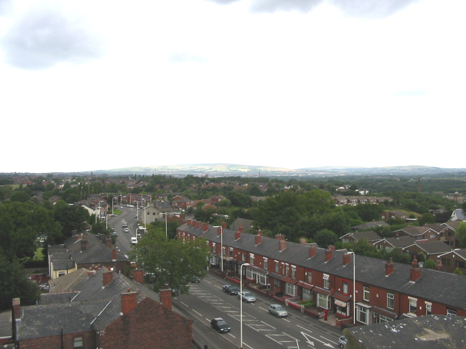
Kearsley Moss is a small area located in the borough of Bolton, within the county of Lancashire in North West England. It is situated between the towns of Kearsley and Farnworth, approximately 9 miles northwest of Manchester city center.
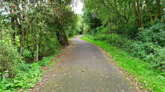
Kearsley Moss is primarily characterized by its marshy and boggy terrain, which gives the area its name. It is a designated Site of Biological Importance (SBI), recognized for its rich biodiversity and unique flora and fauna. The mossland is dominated by wetland habitats, including reed beds, fen, and open water areas. These provide a crucial habitat for a variety of wildlife, including several species of birds, insects, and amphibians.
The mossland is crisscrossed by a network of footpaths and trails, allowing visitors to explore and appreciate the natural beauty of the area. These paths also offer opportunities for walking, jogging, and birdwatching. Kearsley Moss is a popular destination for nature enthusiasts and photographers.
In addition to its ecological significance, Kearsley Moss has historical importance. It was once part of the larger Chat Moss, a vast peat bog that was extensively drained and converted into agricultural land during the 19th century. The transformation of Chat Moss played a significant role in the industrialization of the region.
Overall, Kearsley Moss is a remarkable natural area within the urban landscape of Lancashire. Its wetland habitats and diverse wildlife make it an important ecological and recreational resource for the local community and visitors alike.
If you have any feedback on the listing, please let us know in the comments section below.
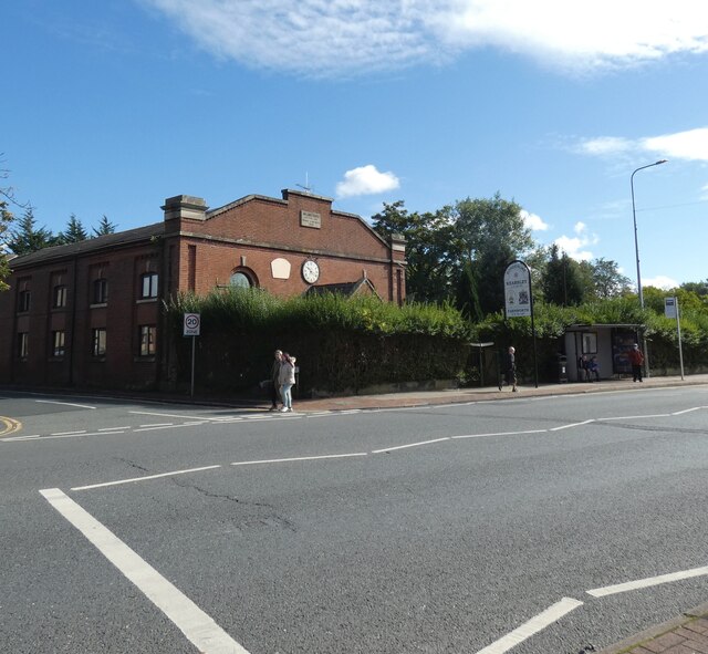
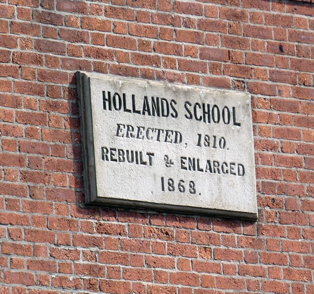
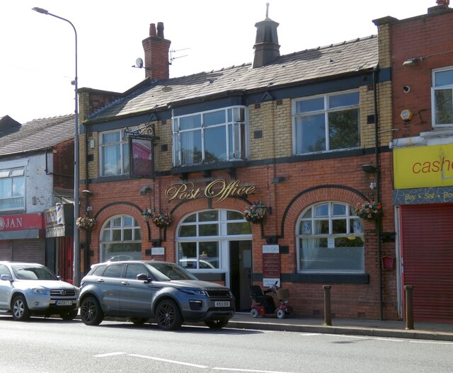
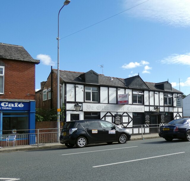
Kearsley Moss Images
Images are sourced within 2km of 53.53656/-2.3694247 or Grid Reference SD7504. Thanks to Geograph Open Source API. All images are credited.


Kearsley Moss is located at Grid Ref: SD7504 (Lat: 53.53656, Lng: -2.3694247)
Unitary Authority: Bolton
Police Authority: Greater Manchester
What 3 Words
///slap.daisy.focus. Near Kearsley, Manchester
Nearby Locations
Related Wikis
Kearsley
Kearsley ( KURZ-lee) is a town in the Metropolitan Borough of Bolton, Greater Manchester, England. The population at the 2011 census was 14,212. Within...
Kearsley Power Station
Kearsley Power Station was a coal-fired power station in Stoneclough, near Kearsley, Bolton, England. It was designed in 1927 by Dr H.F. Parshall for the...
Stoneclough
Stoneclough is a suburban area of Kearsley in the Metropolitan Borough of Bolton, Greater Manchester, England. It is located 3.7 miles (6 km) south-east...
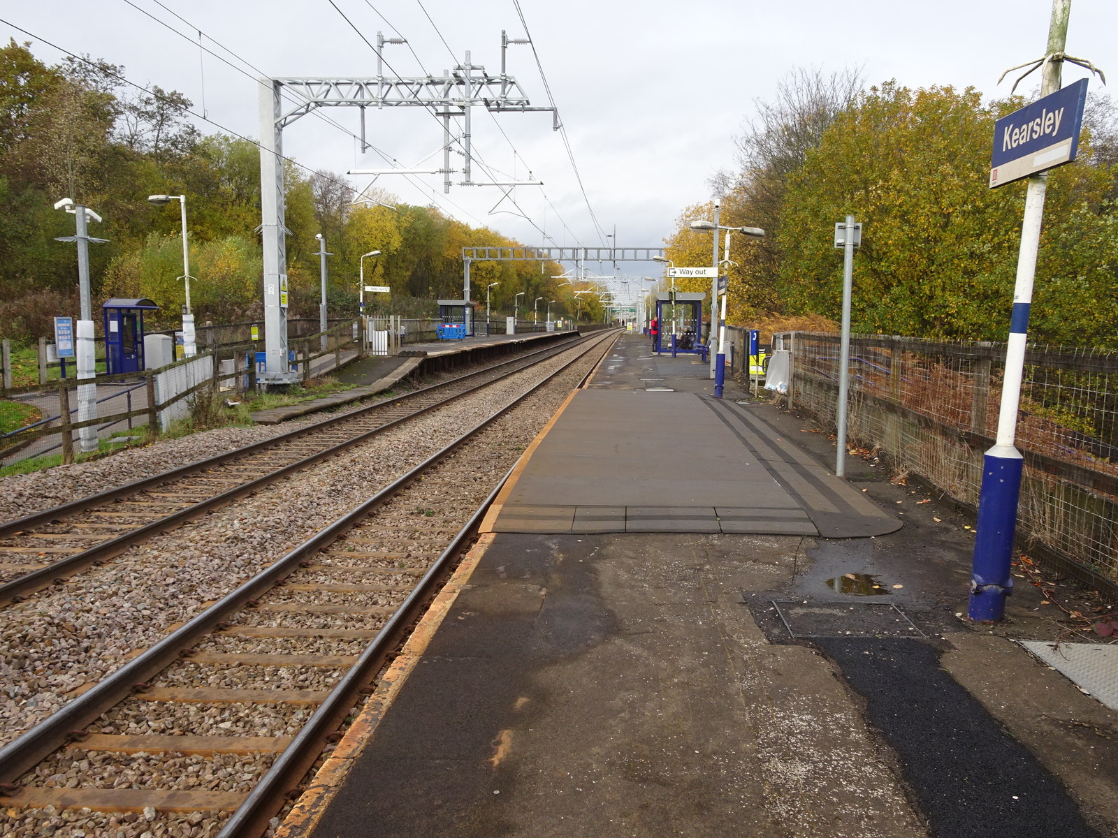
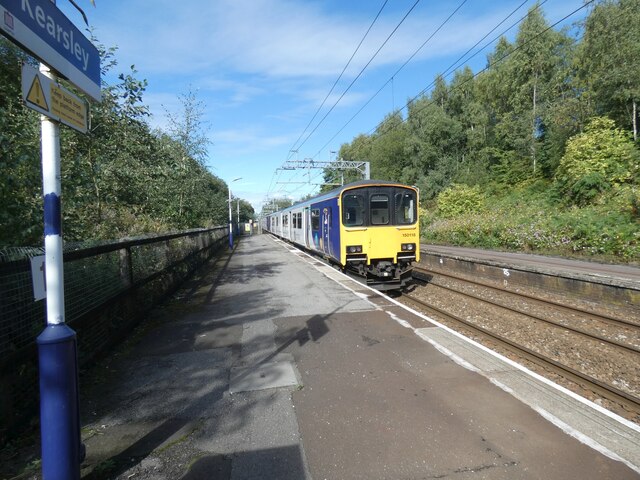
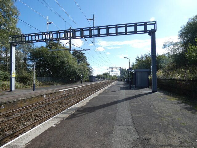
Kearsley railway station
Kearsley railway station serves the town of Kearsley and the outlying villages of Stoneclough, Prestolee and Ringley in Greater Manchester, England. It...
Related Videos

Roe Green to Walkden (stage five): walking the Salford Trail in the wrong order
Stage five of the Salford Trail takes us from Roe Green village to Walkden, via the fields of Linnyshaw, the reservoir at Blackleach ...


Cycling - Manchester to Clifton Country Park and return (relive)
Cycling - Manchester to Clifton Country Park and return.

Nearby Amenities
Located within 500m of 53.53656,-2.3694247Have you been to Kearsley Moss?
Leave your review of Kearsley Moss below (or comments, questions and feedback).