Kearsley Moss
Downs, Moorland in Lancashire
England
Kearsley Moss
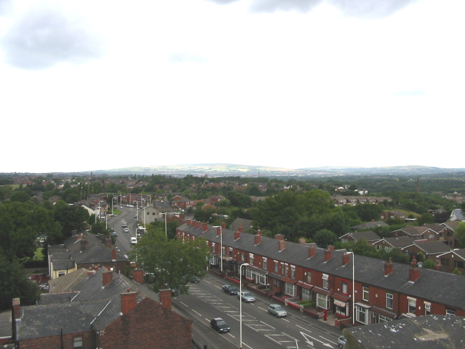
Kearsley Moss is a vast expanse of moorland situated in Lancashire, England. Covering an area of approximately 2,000 acres, it is located in the Kearsley area, near the town of Bolton. The moss is surrounded by urban areas on all sides, including the towns of Farnworth, Little Lever, and Walkden.
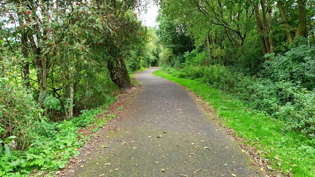
This unique landscape is characterized by its flat, open terrain and the presence of various types of vegetation, including heather, grasses, and mosses. The area is also dotted with small ponds and wetlands, providing a habitat for a variety of wildlife, including birds, insects, and small mammals.
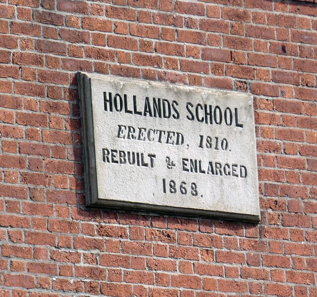
Kearsley Moss has a rich history, with evidence of human activity dating back thousands of years. Archaeological finds in the area have included ancient tools, pottery, and burial mounds. The moss was historically used for peat extraction, which was an important fuel source in the past.
Today, Kearsley Moss serves as a popular recreational area, attracting visitors who enjoy walking, birdwatching, and nature photography. The moss is crisscrossed by a network of footpaths and bridleways, allowing visitors to explore the landscape and enjoy the tranquility of the area.
Overall, Kearsley Moss in Lancashire offers a unique blend of natural beauty, historical significance, and recreational opportunities, making it a cherished asset for both locals and visitors alike.
If you have any feedback on the listing, please let us know in the comments section below.
Kearsley Moss Images
Images are sourced within 2km of 53.534373/-2.3762403 or Grid Reference SD7504. Thanks to Geograph Open Source API. All images are credited.


Kearsley Moss is located at Grid Ref: SD7504 (Lat: 53.534373, Lng: -2.3762403)
Unitary Authority: Bolton
Police Authority: Greater Manchester
What 3 Words
///blank.known.hoping. Near Kearsley, Manchester
Nearby Locations
Related Wikis
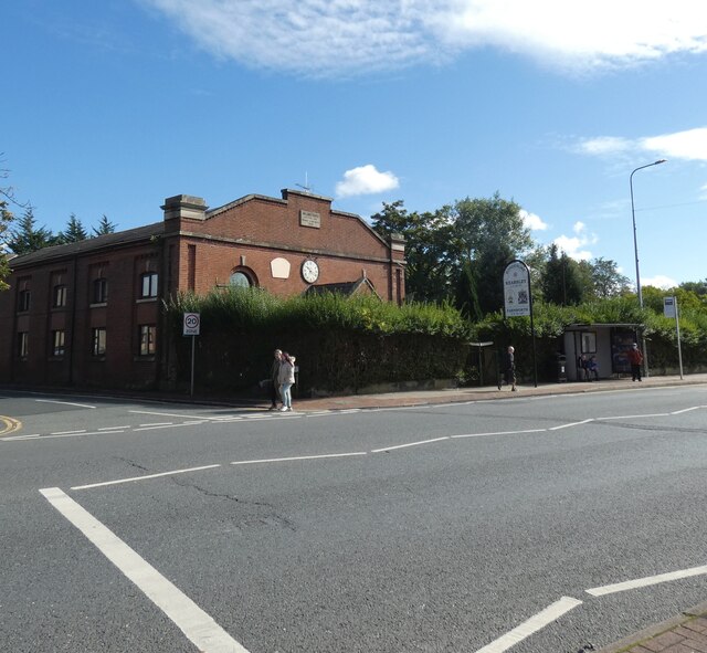
Kearsley
Kearsley ( KURZ-lee) is a town in the Metropolitan Borough of Bolton, Greater Manchester, England. The population at the 2011 census was 14,212. Within...
Kearsley Academy
Kearsley Academy (formerly George Tomlinson School) is a coeducational secondary school and sixth form with academy status sponsored by Northern Education...

Linnyshaw
Linnyshaw is an area of Walkden, a town in the City of Salford district of Greater Manchester, England. Historically within Lancashire, it lies to the...
Linnyshaw Colliery
Linnyshaw Colliery or Berryfield was a coal mine originally owned by the Bridgewater Trustees operating after 1860 on the Manchester Coalfield in Walkden...
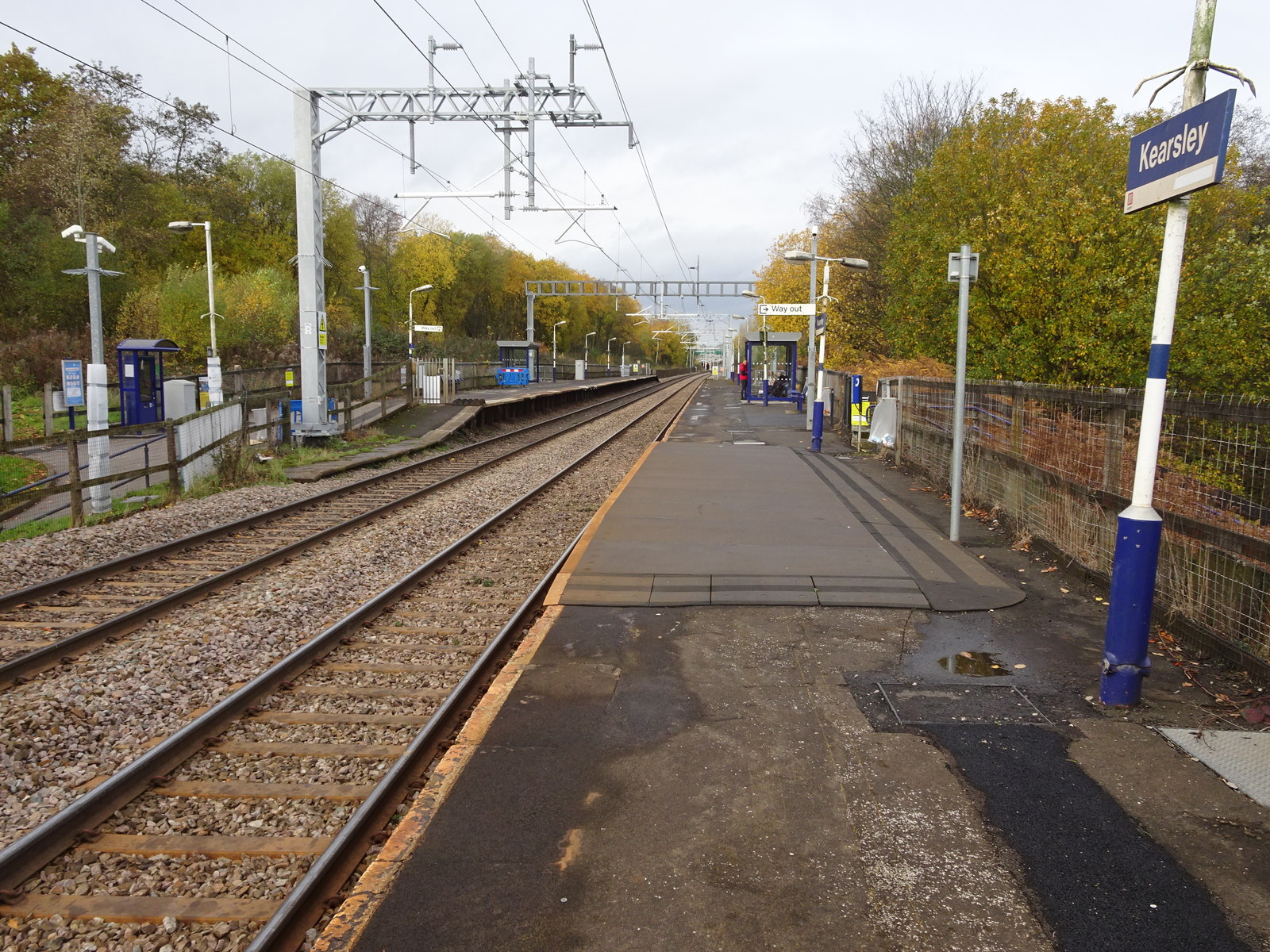
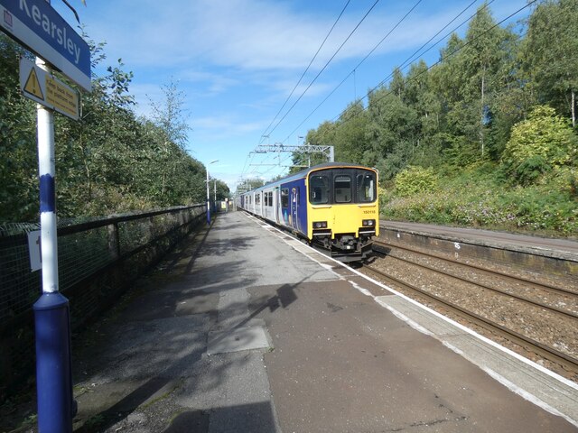
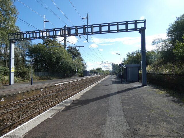
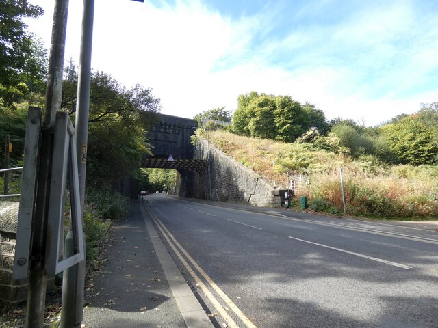
Kearsley railway station
Kearsley railway station serves the town of Kearsley and the outlying villages of Stoneclough, Prestolee and Ringley in Greater Manchester, England. It...

Blackleach Country Park
Blackleach Country Park is a country park in Walkden, Greater Manchester. It is situated half a mile from the town centre just off Bolton Road in the Hill...
Kearsley Power Station
Kearsley Power Station was a coal-fired power station in Stoneclough, near Kearsley, Bolton, England. It was designed in 1927 by Dr H.F. Parshall for the...
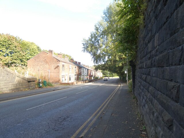
Stoneclough
Stoneclough is a suburban area of Kearsley in the Metropolitan Borough of Bolton, Greater Manchester, England. It is located 3.7 miles (6 km) south-east...
Nearby Amenities
Located within 500m of 53.534373,-2.3762403Have you been to Kearsley Moss?
Leave your review of Kearsley Moss below (or comments, questions and feedback).