Jacks Moss
Downs, Moorland in Yorkshire Craven
England
Jacks Moss

Jacks Moss is a picturesque area located in Yorkshire, England. It is primarily characterized by its stunning scenery, encompassing both the rolling hills of the Yorkshire Downs and the vast expanse of the Moorland. This unique combination of landscapes makes Jacks Moss a popular destination for nature lovers and outdoor enthusiasts.
The Yorkshire Downs in Jacks Moss are renowned for their gentle slopes and lush greenery. The area is dotted with charming villages and picturesque farms, creating a serene and idyllic atmosphere. Visitors can explore the numerous walking trails that crisscross the Downs, offering breathtaking views of the surrounding countryside.
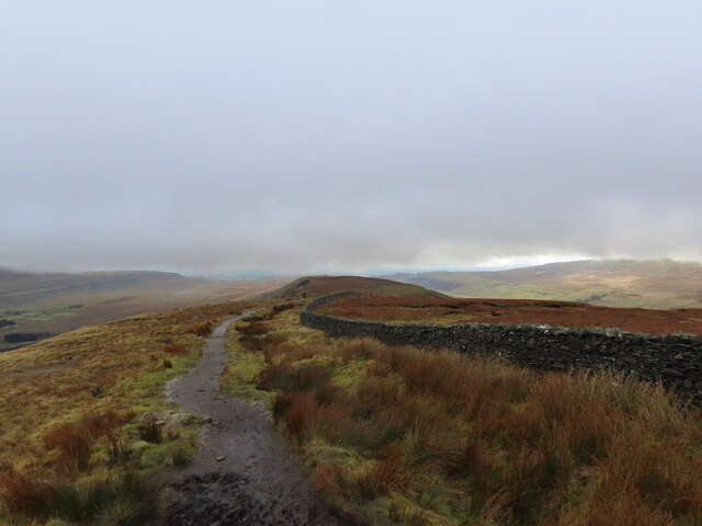
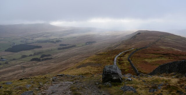
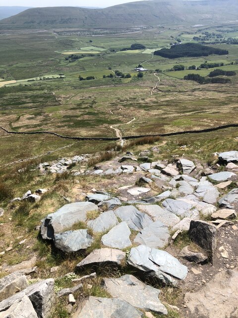
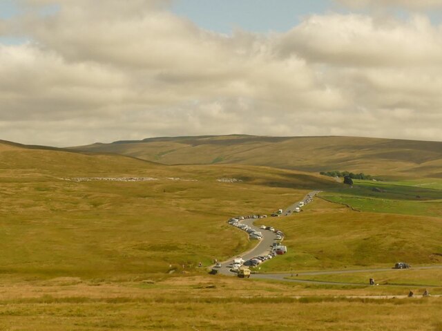
In contrast, the Moorland in Jacks Moss offers a more rugged and wild experience. This vast stretch of open land is characterized by its heather-covered hills, rocky outcrops, and expansive peat bogs. It is home to a diverse range of wildlife, including grouse, deer, and various bird species. Adventurous individuals can enjoy hiking or cycling through the Moorland, immersing themselves in its untamed beauty.
Jacks Moss also boasts several attractions and amenities for visitors. The area is home to charming country pubs and quaint tea rooms, where visitors can relax and enjoy traditional Yorkshire fare. Additionally, there are various accommodation options available, ranging from cozy bed and breakfasts to luxury hotels, ensuring that visitors can find a comfortable place to stay.
Overall, Jacks Moss in Yorkshire offers a unique and diverse experience for those seeking to immerse themselves in the beauty of nature. Whether exploring the gentle slopes of the Yorkshire Downs or venturing into the untamed Moorland, visitors are sure to be captivated by the area's natural charm.
If you have any feedback on the listing, please let us know in the comments section below.
Jacks Moss Images
Images are sourced within 2km of 54.212382/-2.3824103 or Grid Reference SD7579. Thanks to Geograph Open Source API. All images are credited.


Jacks Moss is located at Grid Ref: SD7579 (Lat: 54.212382, Lng: -2.3824103)
Division: West Riding
Administrative County: North Yorkshire
District: Craven
Police Authority: North Yorkshire
What 3 Words
///shovels.mourner.gardens. Near Ingleton, North Yorkshire
Nearby Locations
Related Wikis

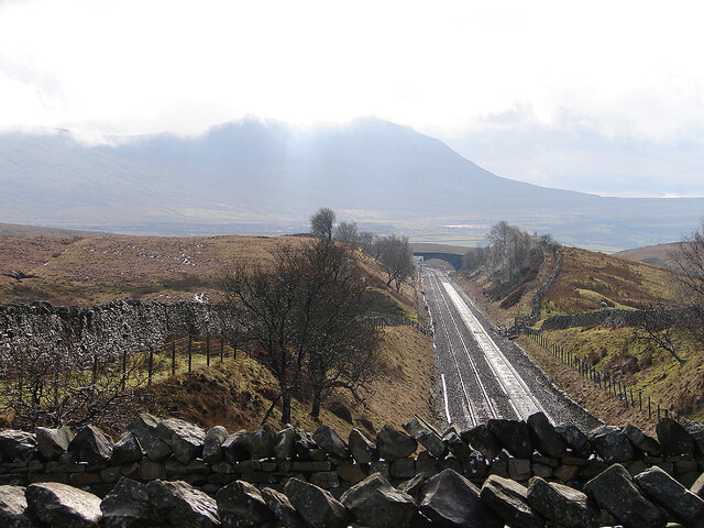
Ribblehead Viaduct
The Ribblehead Viaduct or Batty Moss Viaduct carries the Settle–Carlisle railway across Batty Moss in the Ribble Valley at Ribblehead, in North Yorkshire...

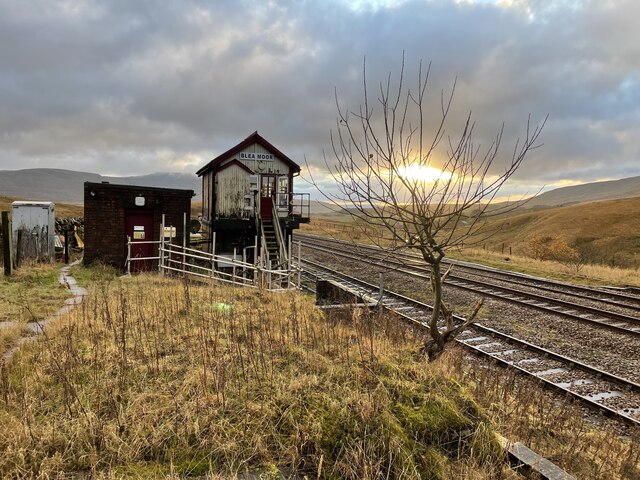
Ribblehead railway station
Ribblehead is a railway station on the Settle and Carlisle Line, which runs between Carlisle and Leeds via Settle. The station, situated 52 miles 17 chains...

Ribblehead Quarry
Ribblehead Quarry is a former limestone quarry next to Ribblehead railway station in the Yorkshire Dales National Park, North Yorkshire, England. It had...

Whernside
Whernside is a mountain in the Yorkshire Dales in Northern England. It is the highest of the Yorkshire Three Peaks, the other two being Ingleborough and...
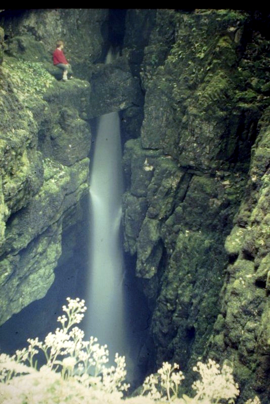
Weathercote Cave
Weathercote Cave is a natural solutional cave in Chapel-le-Dale, North Yorkshire, England. It has been renowned as a natural curiosity since the eighteenth...
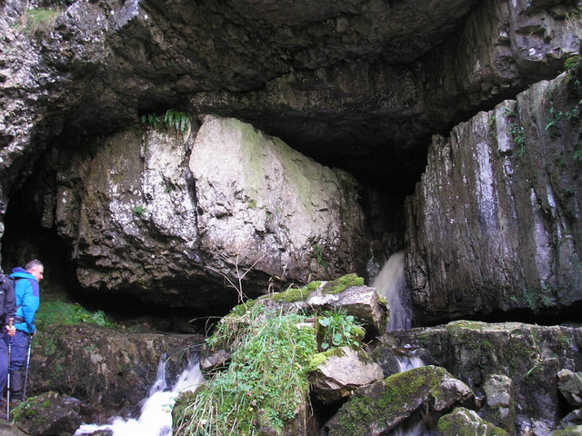
Great Douk Cave
Great Douk Cave is a shallow cave system lying beneath the limestone bench of Ingleborough in Chapel-le-Dale, North Yorkshire, England. It is popular with...

Ribblehead
Ribblehead is the area of moorland at the head of the River Ribble in the area known as Ribblesdale, in the Yorkshire Dales National Park, England. Ribblehead...

Chapel-le-Dale (valley)
Chapel-le-Dale is west-facing valley in the Yorkshire Dales, England. The U-shaped valley of Chapel-le-Dale is one of the few which drain westwards towards...
Nearby Amenities
Located within 500m of 54.212382,-2.3824103Have you been to Jacks Moss?
Leave your review of Jacks Moss below (or comments, questions and feedback).