Crabbed Brae
Downs, Moorland in Berwickshire
Scotland
Crabbed Brae
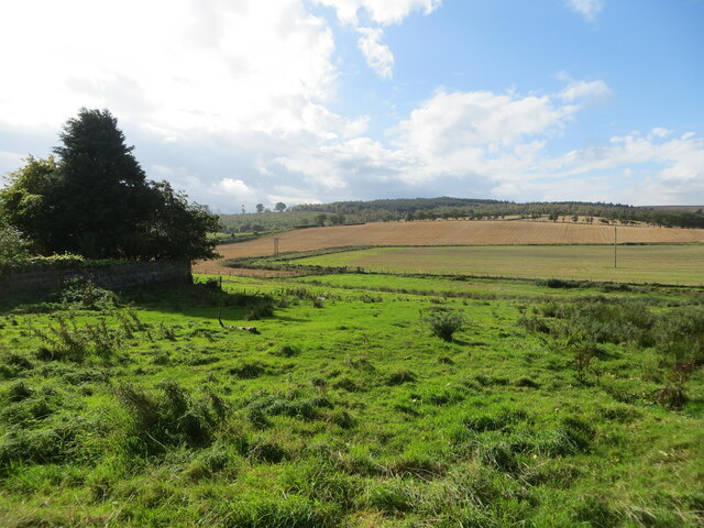
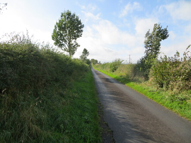
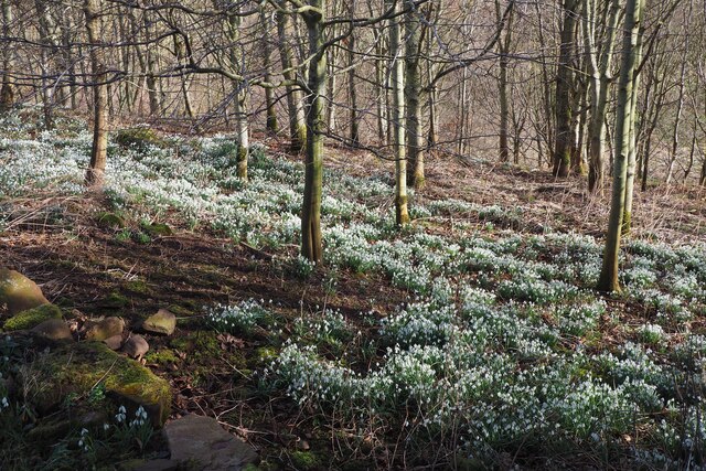
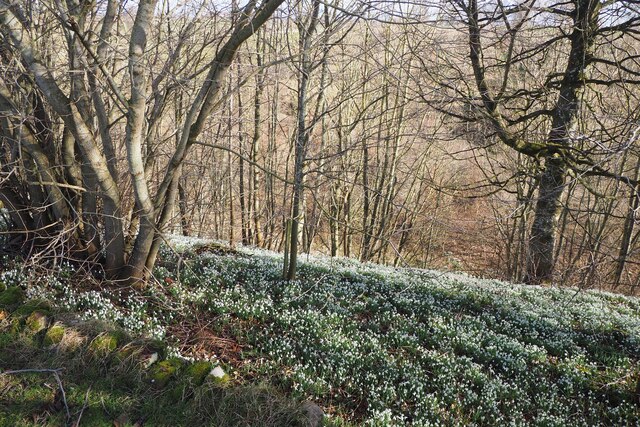
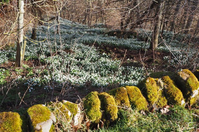
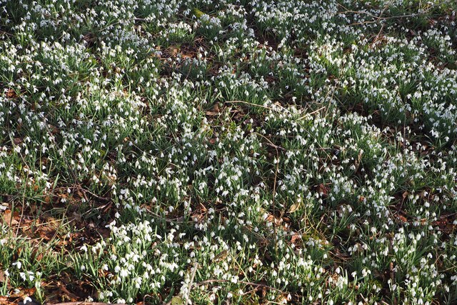
Crabbed Brae is a picturesque area located in Berwickshire, Scotland. Situated amidst downs and moorland, this region boasts stunning views of rolling hills and lush greenery. The landscape is characterized by rugged terrain, with rocky outcrops and sparse vegetation adding to its natural beauty.
The area is home to a variety of wildlife, including birds of prey, deer, and other native species. Visitors to Crabbed Brae can enjoy peaceful walks and hikes through the countryside, taking in the sights and sounds of the surrounding nature. The crisp, fresh air and tranquil atmosphere make it a popular destination for those seeking a retreat from the hustle and bustle of city life.
In addition to its natural beauty, Crabbed Brae is also rich in history, with ancient ruins and archaeological sites scattered throughout the region. The area has a unique charm that draws in visitors from near and far, making it a must-see destination for nature lovers and history enthusiasts alike. Whether exploring the moorland or simply taking in the stunning views, Crabbed Brae offers a truly unforgettable experience for all who visit.
If you have any feedback on the listing, please let us know in the comments section below.
Crabbed Brae Images
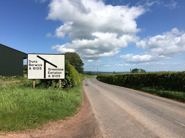
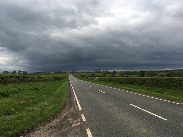
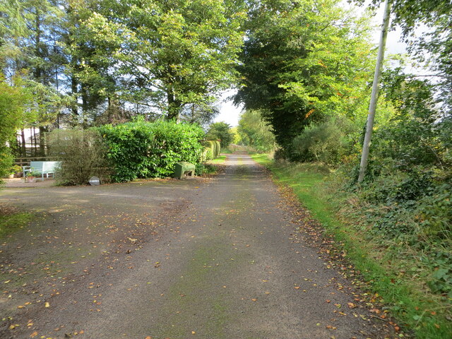
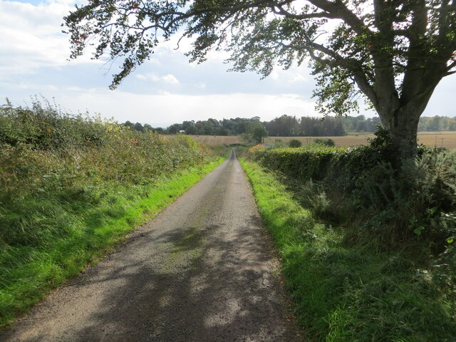
Images are sourced within 2km of 55.741157/-2.397708 or Grid Reference NT7549. Thanks to Geograph Open Source API. All images are credited.
Crabbed Brae is located at Grid Ref: NT7549 (Lat: 55.741157, Lng: -2.397708)
Unitary Authority: The Scottish Borders
Police Authority: The Lothians and Scottish Borders
What 3 Words
///sounds.shell.kickbacks. Near Duns, Scottish Borders
Nearby Locations
Related Wikis

Polwarth Castle
Polwarth Castle was a castle, located near Polwarth, Scottish Borders in Scotland. == History == Held by the Polwarth family it passed by marriage of Elizabeth...

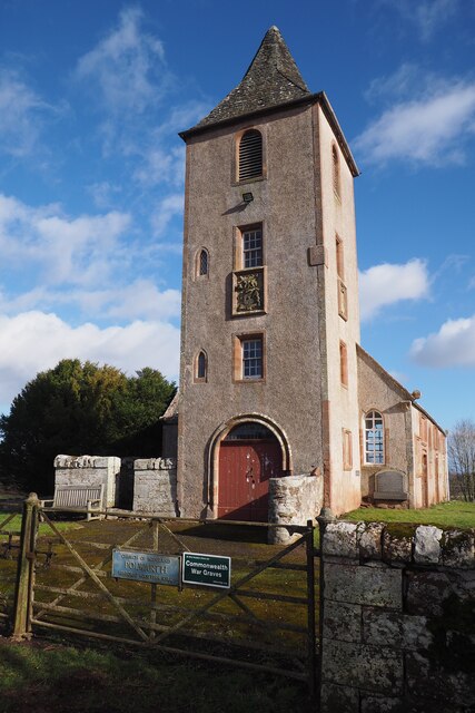
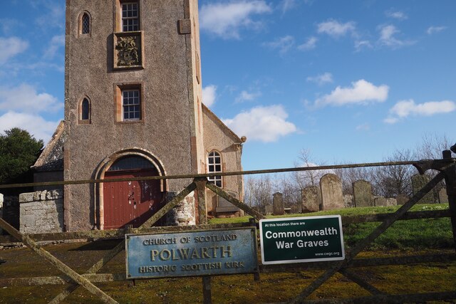
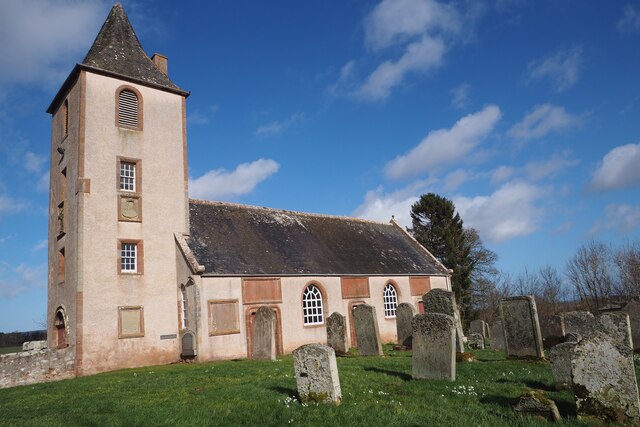
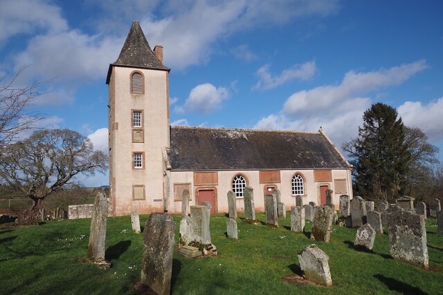
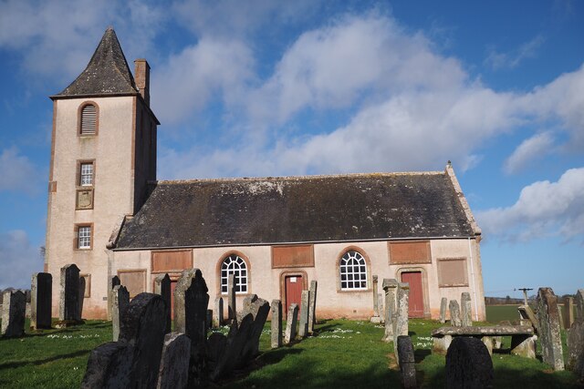
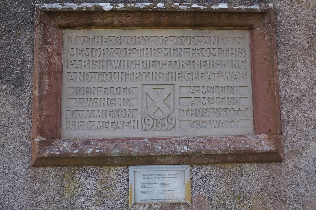
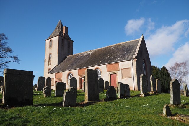
Polwarth Parish Church
Polwarth Parish Church was a member church (Scots: kirk) of the Church of Scotland before closing in 2004. It is situated atop a mound off a minor...
Polwarth, Scottish Borders
Polwarth (Scots: Polart) is a village and parish in the Scottish Borders area of Scotland. It is located at grid reference NT745502, between Greenlaw and...
Marchmont railway station
Marchmont railway station served the estate of Marchmont, Scottish Borders, Scotland from 1863 to 1948 on the North British Railway. == History == The...
Nearby Amenities
Located within 500m of 55.741157,-2.397708Have you been to Crabbed Brae?
Leave your review of Crabbed Brae below (or comments, questions and feedback).