Souther Scales Fell
Downs, Moorland in Yorkshire Craven
England
Souther Scales Fell
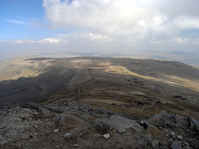
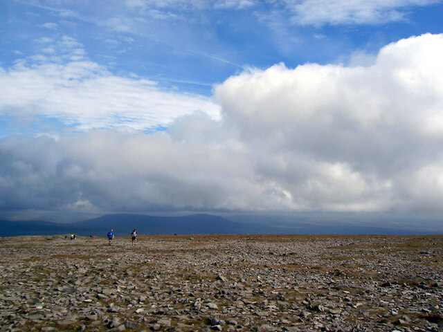
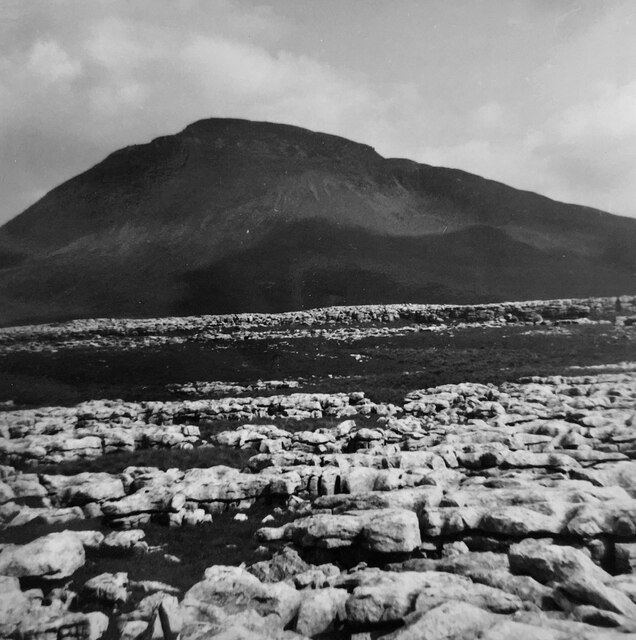
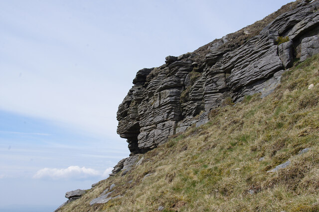
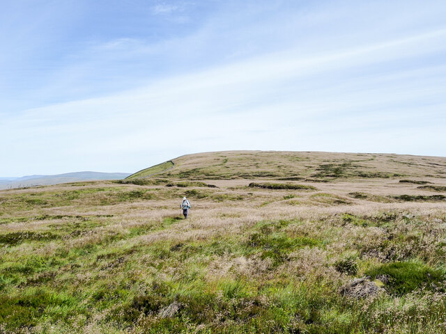
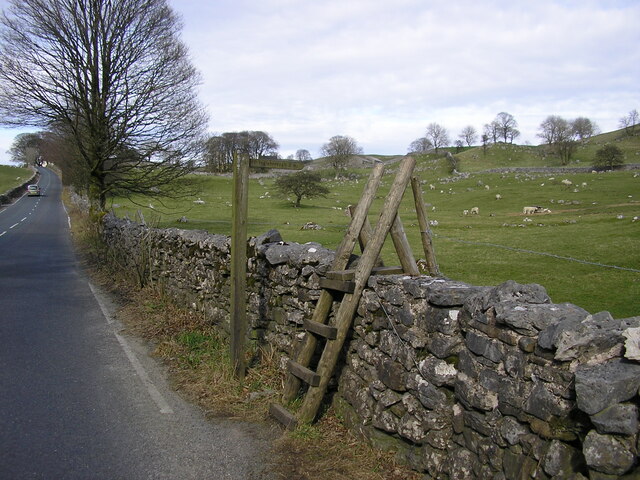
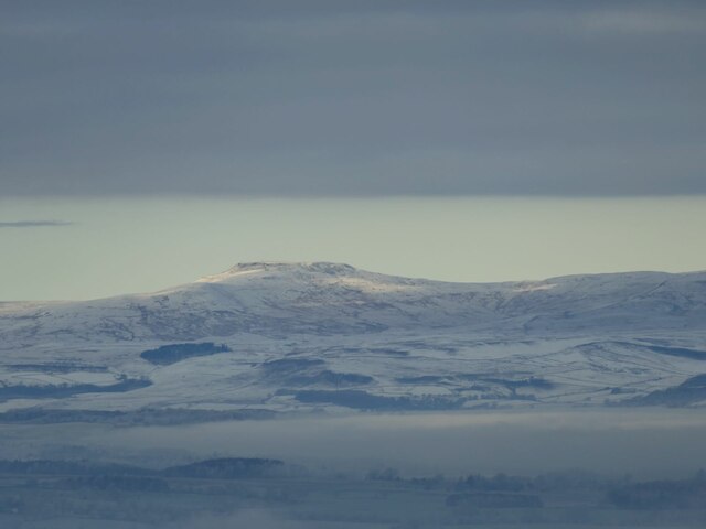
Southern Scales Fell is a prominent geographical feature located in the county of Yorkshire, England. Situated within the Yorkshire Downs, this picturesque fell is known for its breathtaking views and diverse natural landscapes. Rising to an elevation of approximately 520 meters (1,706 feet), it is a popular destination for hiking and outdoor enthusiasts.
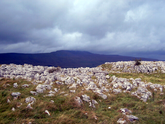
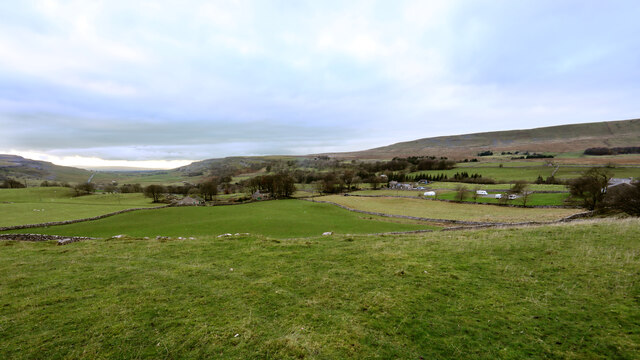
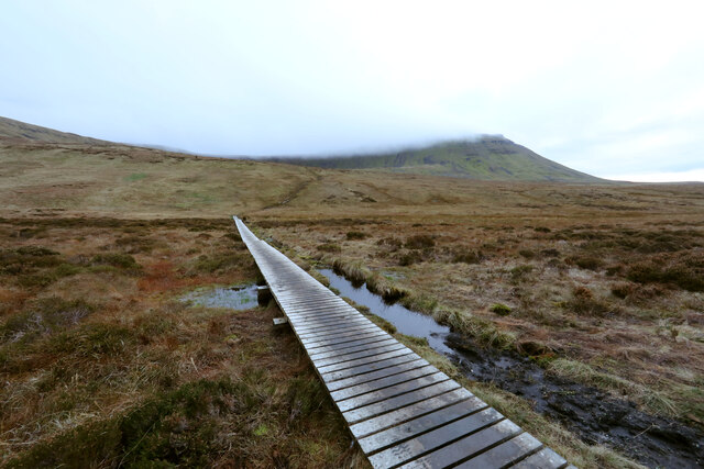
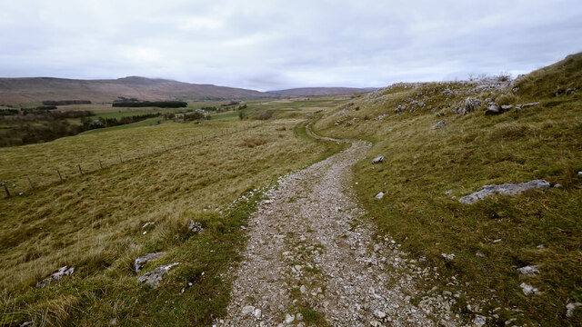
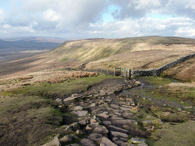
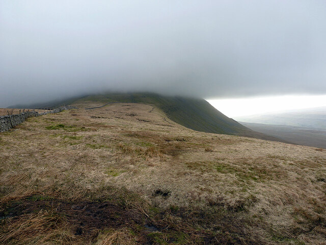
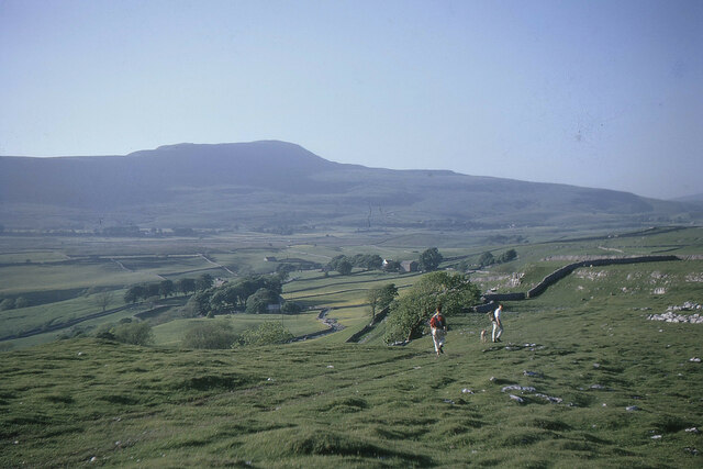
The fell is characterized by its undulating terrain, which is a mix of downs and moorland. Its slopes are covered with heather and grasses, providing a vibrant display of colors throughout the year. The higher parts of the fell offer panoramic views of the surrounding countryside, including the nearby valleys and dales.
Southern Scales Fell is home to a rich variety of flora and fauna, making it an important site for nature conservation. The area is known for its diverse bird population, including species such as lapwings, curlews, and red grouse. Visitors may also have the opportunity to spot other wildlife like hares, rabbits, and foxes.
The fell is easily accessible via well-maintained footpaths, making it a popular destination for walkers and hikers of all abilities. A network of trails crisscrosses the area, providing opportunities for both short walks and longer treks. Along the way, visitors can enjoy the peacefulness of the countryside and take in the breathtaking views.
Overall, Southern Scales Fell is a stunning natural feature in Yorkshire, offering visitors a chance to immerse themselves in the beauty of the Yorkshire Downs and Moorland.
If you have any feedback on the listing, please let us know in the comments section below.
Souther Scales Fell Images
Images are sourced within 2km of 54.180404/-2.3828045 or Grid Reference SD7576. Thanks to Geograph Open Source API. All images are credited.
Souther Scales Fell is located at Grid Ref: SD7576 (Lat: 54.180404, Lng: -2.3828045)
Division: West Riding
Administrative County: North Yorkshire
District: Craven
Police Authority: North Yorkshire
What 3 Words
///forks.rashers.sues. Near Ingleton, North Yorkshire
Nearby Locations
Related Wikis
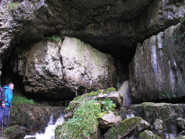
Great Douk Cave
Great Douk Cave is a shallow cave system lying beneath the limestone bench of Ingleborough in Chapel-le-Dale, North Yorkshire, England. It is popular with...

Simon Fell (Yorkshire Dales)
Simon Fell is a subsidiary summit on the north east ridge of Ingleborough, a mountain in the Yorkshire Dales in Northern England. With a height of 650...

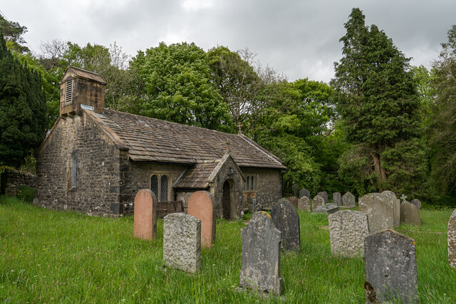
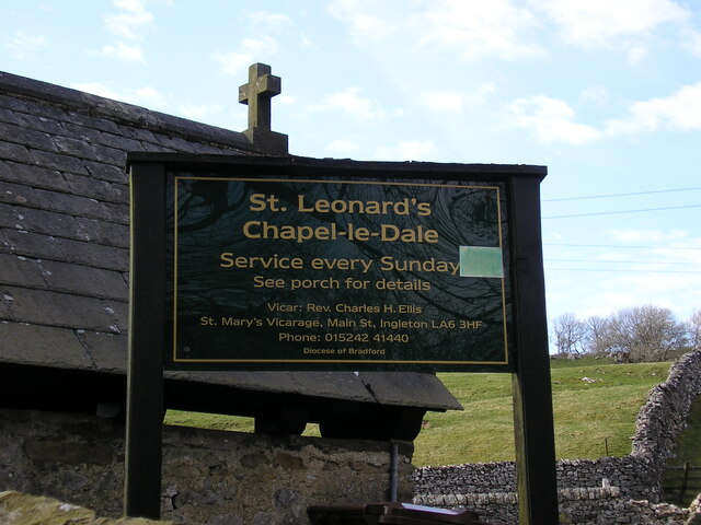
Chapel-le-Dale
Chapel-le-Dale is a hamlet in the civil parish of Ingleton, North Yorkshire, England. It is in the Yorkshire Dales National Park in a valley of the same...

Chapel-le-Dale (valley)
Chapel-le-Dale is west-facing valley in the Yorkshire Dales, England. The U-shaped valley of Chapel-le-Dale is one of the few which drain westwards towards...

Ingleborough
Ingleborough (723 m or 2,372 ft) is the second-highest mountain in the Yorkshire Dales, England. It is one of the Yorkshire Three Peaks (the other two...
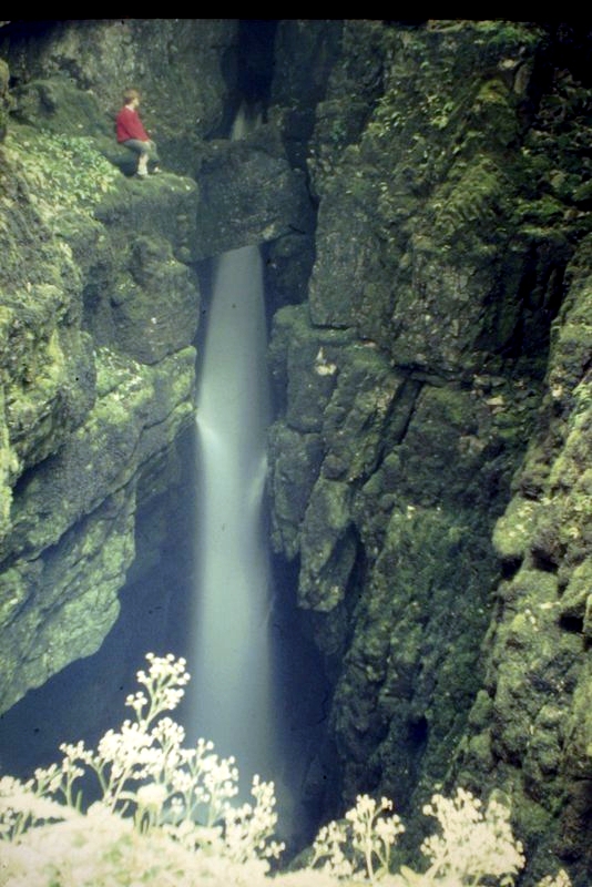
Weathercote Cave
Weathercote Cave is a natural solutional cave in Chapel-le-Dale, North Yorkshire, England. It has been renowned as a natural curiosity since the eighteenth...

Yorkshire Three Peaks
The mountains of Whernside (736 m or 2,415 ft), Ingleborough (723 m or 2,372 ft) and Pen-y-ghent (694 m or 2,277 ft) are collectively known as the Three...

Alum Pot
Alum Pot is a pothole with a large open shaft at a surface elevation of 343 metres (1,125 ft) on the eastern flanks of Simon Fell, North Yorkshire, England...
Nearby Amenities
Located within 500m of 54.180404,-2.3828045Have you been to Souther Scales Fell?
Leave your review of Souther Scales Fell below (or comments, questions and feedback).