Juniper Hill

Settlement in Oxfordshire Cherwell

England

Juniper Hill

A43 lay-by near Cottisford Plantation
A43 lay-by near Cottisford Plantation Credit: Colin Pyle

Juniper Hill is a small village located in Oxfordshire, a county in the southeast of England. Situated approximately 8 miles southwest of the city of Oxford, Juniper Hill falls within the Cherwell district and is surrounded by picturesque countryside and rolling hills.

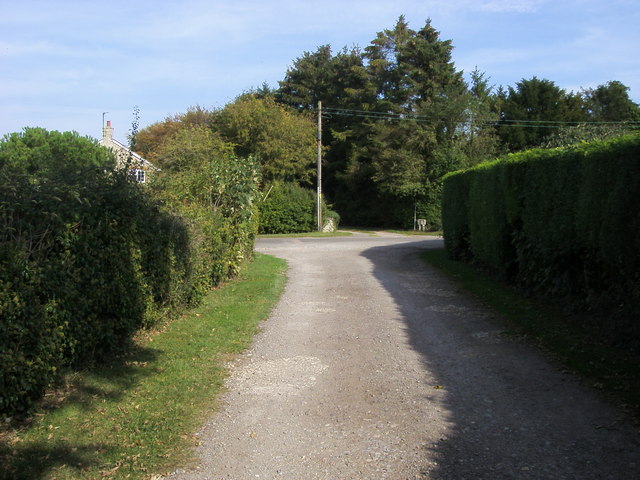
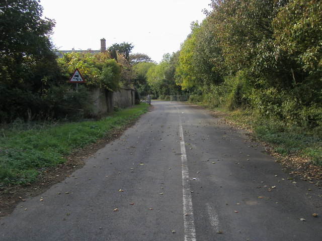
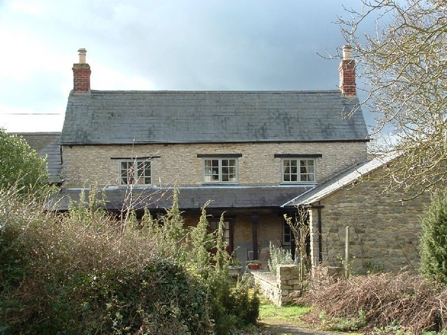
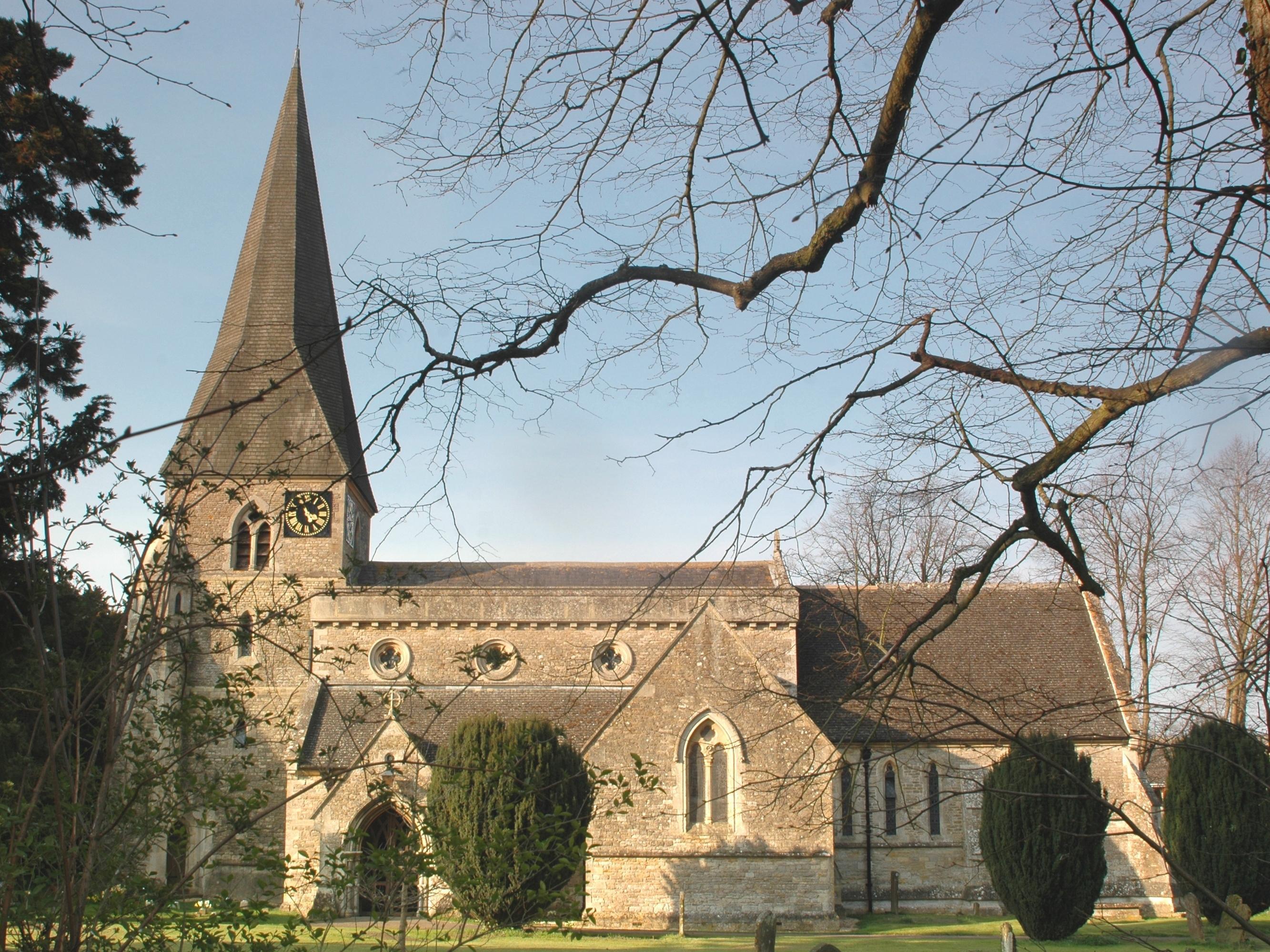
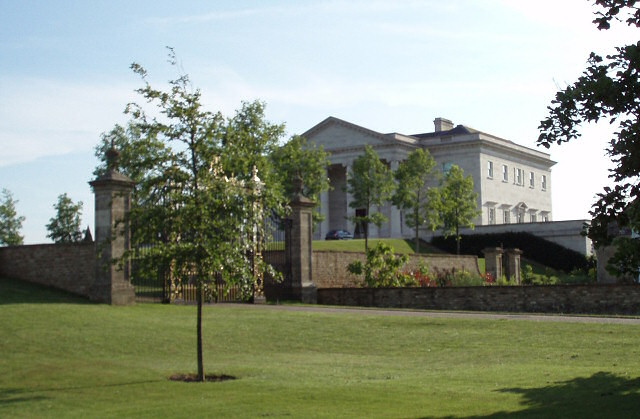
This quaint village, with a population of around 200 residents, offers a peaceful and rural setting. The community is characterized by a mix of traditional cottages and modern houses, blending the old with the new. The village is primarily residential, with a few local amenities such as a village hall and a small church.

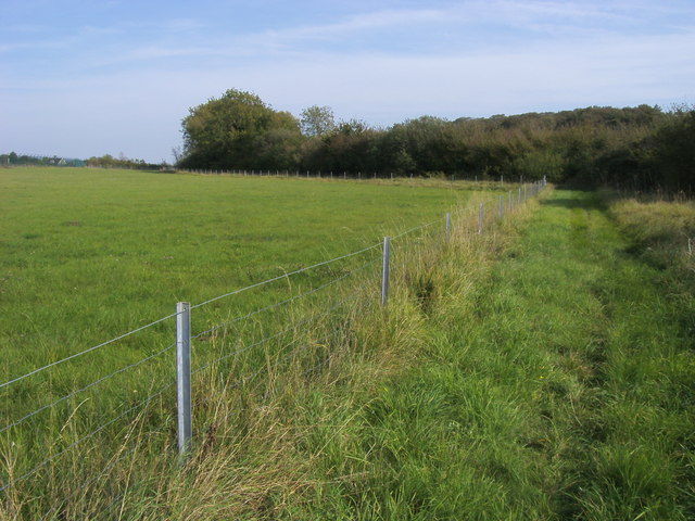
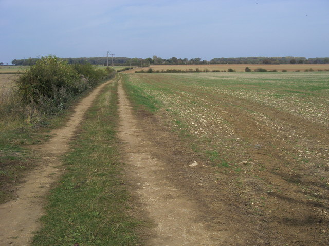
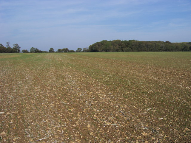
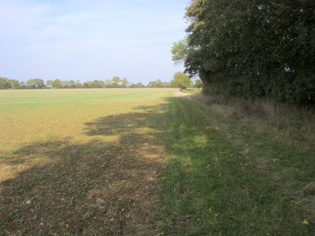
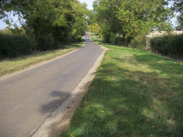
Nature enthusiasts will find Juniper Hill to be an ideal place to explore the outdoors. The surrounding countryside offers numerous walking and cycling paths, allowing residents and visitors to fully immerse themselves in the beauty of the Oxfordshire landscape. The nearby Shotover Country Park, a 117-hectare nature reserve, is a popular destination for outdoor activities and offers stunning views of the surrounding area.

Despite its tranquil atmosphere, Juniper Hill benefits from its proximity to Oxford, which provides access to a wider range of amenities and cultural attractions. Residents can easily commute to the city for work or leisure, enjoying the vibrant atmosphere, historical sites, and renowned educational institutions.

Overall, Juniper Hill is a charming and idyllic village that offers a peaceful retreat from the hustle and bustle of city life, while providing convenient access to nearby urban centers.

If you have any feedback on the listing, please let us know in the comments section below.
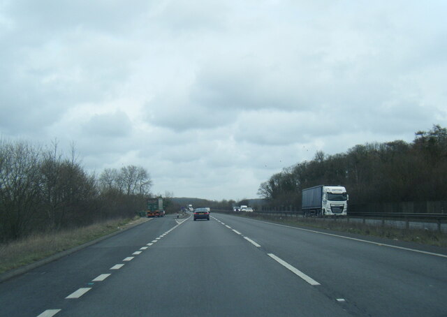
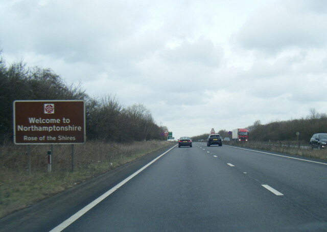
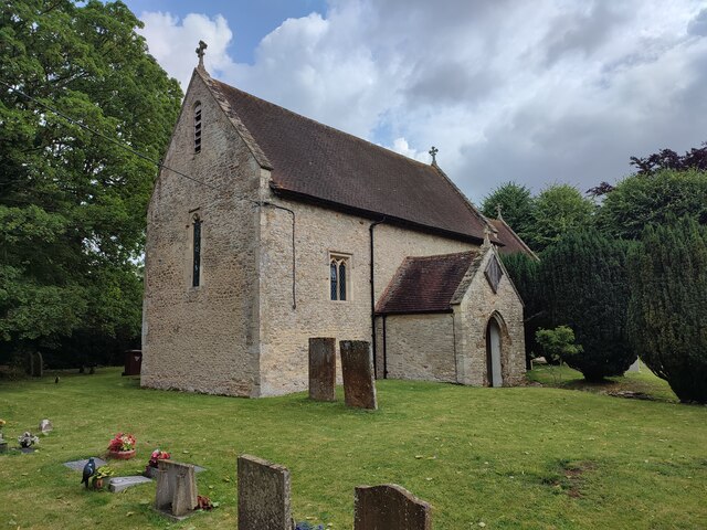
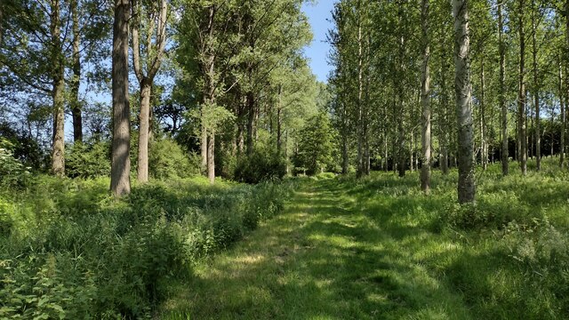
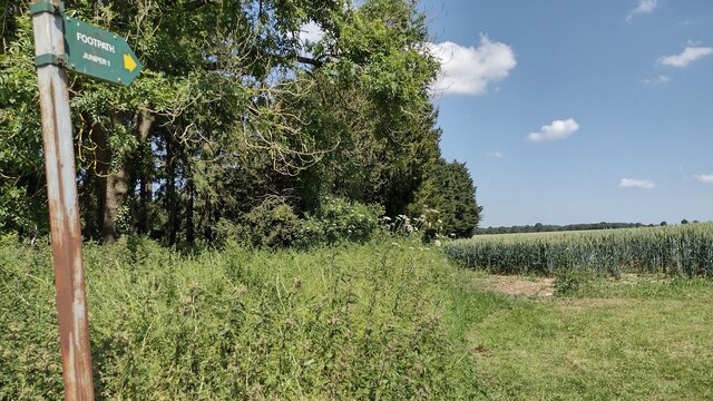
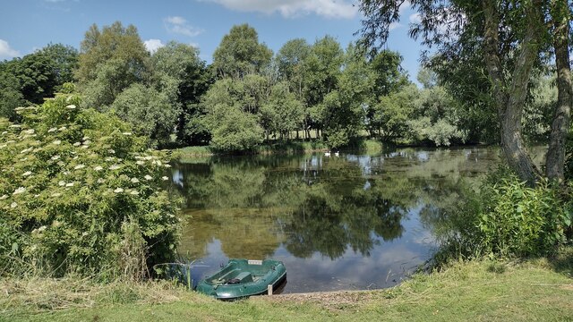
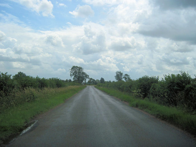
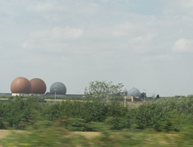
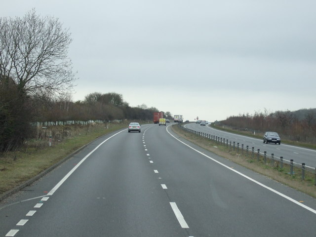
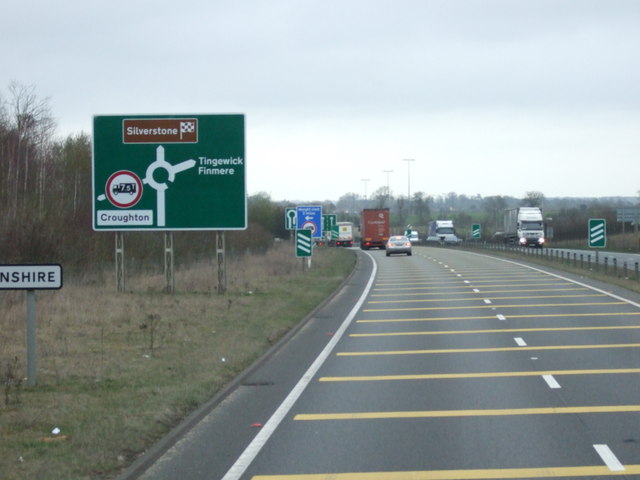
Juniper Hill Images

Images are sourced within 2km of 51.988468/-1.1584025 or Grid Reference SP5732. Thanks to Geograph Open Source API. All images are credited.

A43 lay-by near Cottisford Plantation
A43 at Northamptonshire county boundary
St Mary's Church, Cottisford
Path to Cottisford Path to Cottisford passing through Twigyard Wood
Path to Cottisford
Path to Cottisford passing through Twigyard Wood
Path to Juniper From Cottisford the path to Juniper
Path to Juniper
From Cottisford the path to Juniper
Cottisford Pond Cottisford Pond fishing lake
Cottisford Pond
Cottisford Pond fishing lake
Approaching A421 from Evenley
Radar array RAF Croughton Although originally an RAF airfield the site is now home to the USAF's 422nd Air Base Group. To quote from their factsheet:"their mission is to provide outstanding installation support, services, force protection, and worldwide communications across the entire spectrum of operations." From the A43 the motorist is privy to distant views of a variety of communications aerials.
Radar array RAF Croughton
Although originally an RAF airfield the site is now home to the USAF's 422nd Air Base Group. To quote from their factsheet:"their mission is to provide outstanding installation support, services, force protection, and worldwide communications across the entire spectrum of operations." From the A43 the motorist is privy to distant views of a variety of communications aerials.
Seven Shires Way Seven Shires Way footpath to A43 by boundary of RAF Croughton
Seven Shires Way
Seven Shires Way footpath to A43 by boundary of RAF Croughton
Seven Shires Way Seven Shires Way footpath to Juniper Hill
Seven Shires Way
Seven Shires Way footpath to Juniper Hill
Seven Shires Way Seven Shires Way footpath from Cottisford Heath at Juniper Hill
Seven Shires Way
Seven Shires Way footpath from Cottisford Heath at Juniper Hill
Seven Shires Way Seven Shires Way from Juniper Hill cuts across the field heading up to the copse near The Hulls
Seven Shires Way
Seven Shires Way from Juniper Hill cuts across the field heading up to the copse near The Hulls
Seven Shires Way Seven Shires Way footpath by the copse near The Hulls
Seven Shires Way
Seven Shires Way footpath by the copse near The Hulls
Seven Shires Way Seven Shires Way following the road heading to Monk's House Barn
Seven Shires Way
Seven Shires Way following the road heading to Monk's House Barn
The private road by Monk's House The private road (former A421) now a bridleway by Monk's House
The private road by Monk's House
The private road (former A421) now a bridleway by Monk's House
A43 northbound near Cottisford
A43 towards Northampton
A43 northbound near Barley Mow
Show me another place!

Juniper Hill is located at Grid Ref: SP5732 (Lat: 51.988468, Lng: -1.1584025)

Administrative County: Oxfordshire

District: Cherwell

Police Authority: Thames Valley

What 3 Words

///sponsors.innocence.captive. Near Brackley, Northamptonshire

Related Wikis

Juniper Hill

Juniper Hill is a hamlet in the civil parish of Cottisford in Oxfordshire, England, 2 miles (3.2 km) south of Brackley in neighbouring Northamptonshire...

Cottisford

Cottisford is a village and civil parish in Oxfordshire, about 3.5 miles (5.6 km) south of Brackley in neighbouring Northamptonshire. The parish's northern...

RAF Croughton

Royal Air Force Croughton or more simply RAF Croughton is a Royal Air Force station which is currently a United States Air Force communications station...

Evenley

Evenley is a village and civil parish just over 1 mile (1.6 km) south of Brackley in West Northamptonshire, England. The 2011 Census recorded the parish...

Hardwick with Tusmore

Hardwick with Tusmore is a civil parish in Oxfordshire, England. It was formed in 1932 by merger of the parishes of Hardwick (grid reference SP5729) and...

Tusmore, Oxfordshire

Tusmore is a settlement about 5+1⁄2 miles (9 km) north of Bicester in Oxfordshire. It is the location of the Tusmore country house and estate. == Manor... ==

Death of Harry Dunn

Harry Dunn was a 19-year-old British man who died following a road traffic collision on 27 August 2019. He was riding his motorcycle near Croughton, Northamptonshire...

Hardwick, Cherwell

Hardwick is a village in the civil parish of Hardwick with Tusmore about 4.5 miles (7 km) north of Bicester in Oxfordshire. == Manor == The village's toponym...

Nearby Amenities

Located within 500m of 51.988468,-1.1584025
Juniper Hill
Place: hamlet
Wikidata: Q6313603
Wikipedia: en:Juniper Hill
Lat/Long: 51.9883817/-1.1581342
Old Phone: +44 1869 810276
Postal Code: NN13 5RN
Removed Amenity: telephone
Lat/Long: 51.9882892/-1.1580349
Post Box
Post Box Type: lamp
Postal Code: NN13
Ref: NN13 119
Lat/Long: 51.9883108/-1.1580664
Barrier: stile
Lat/Long: 51.9890108/-1.157601
Barrier: stile
Lat/Long: 51.9857131/-1.1577587
Passing Place
Lat/Long: 51.9868867/-1.1546347
Bus Stop
Fox
Bus: yes
Naptan AtcoCode: 340000427FOX
Naptan Bearing: N
Naptan CommonName: Fox
Naptan Indicator: outside
Naptan Landmark: Fox
Naptan NaptanCode: oxfapmtj
Naptan Street: Juniper Hill
Naptan Verified: no
Public Transport: platform
Source: naptan_import
Lat/Long: 51.9883359/-1.1582819
Passing Place
Source: Bing
Lat/Long: 51.9905858/-1.1612142
The data included in this document is from www.openstreetmap.org. The data is made available under ODbL.

Have you been to Juniper Hill?

Leave your review of Juniper Hill below (or comments, questions and feedback).