Cottisford Heath
Downs, Moorland in Oxfordshire Cherwell
England
Cottisford Heath
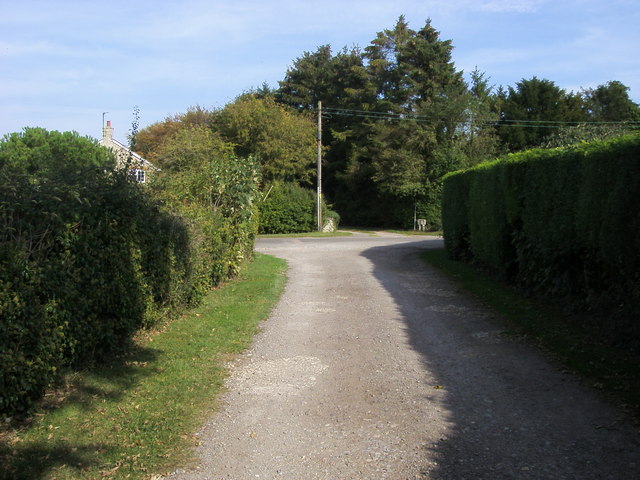
Cottisford Heath is a picturesque area located in Oxfordshire, England. Situated on the outskirts of the village of Cottisford, this heathland encompasses a vast expanse of downs and moorland. The area is known for its natural beauty and provides a peaceful retreat for both locals and visitors alike.
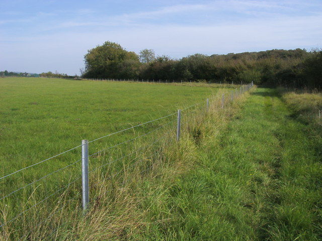
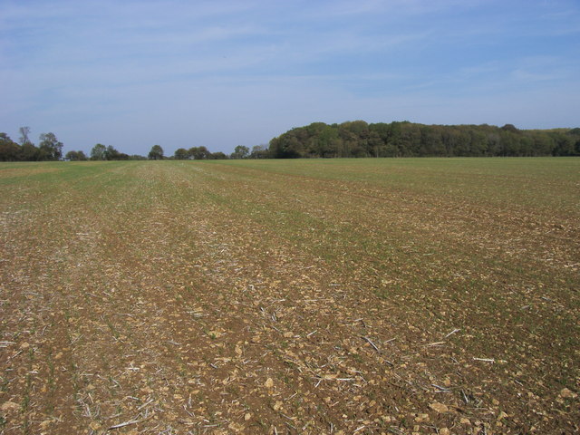
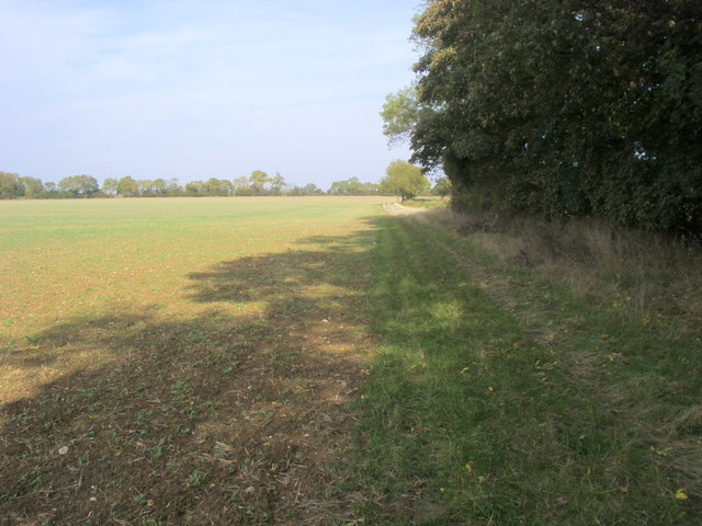
Covering an area of approximately 200 acres, Cottisford Heath showcases a diverse range of flora and fauna. The heathland is characterized by its open grassy areas, scattered with heather, gorse, and bracken. This creates a stunning landscape, especially during the flowering seasons when the heath is adorned with vibrant colors.
The heath is also home to a variety of wildlife, making it a haven for nature enthusiasts. Visitors may spot several species of birds, including buzzards, skylarks, and stonechats, soaring above the open skies. Additionally, the heathland provides important habitat for small mammals such as rabbits, voles, and shrews.
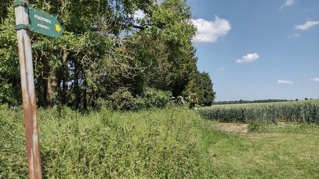
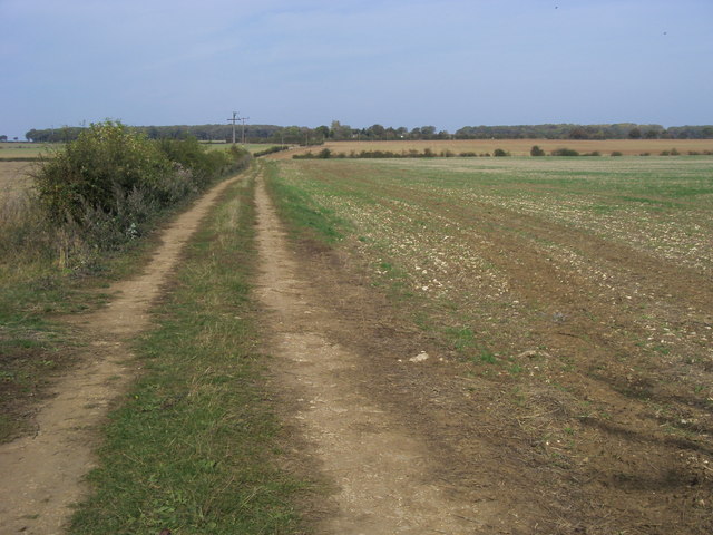
Cottisford Heath offers several walking trails, allowing visitors to explore and appreciate the natural beauty of the area. These paths wind through the open grasslands, offering stunning panoramic views of the surrounding countryside. The heath is also intersected by several streams and ponds, providing a tranquil setting for relaxation and picnics.
Managed by local conservation groups, Cottisford Heath is protected to preserve its unique ecosystem. The heathland plays a crucial role in maintaining biodiversity and acts as an important wildlife corridor, connecting different habitats in the region.
Overall, Cottisford Heath is a haven of natural beauty, offering a peaceful retreat for nature lovers and a glimpse into the diverse flora and fauna of Oxfordshire.
If you have any feedback on the listing, please let us know in the comments section below.
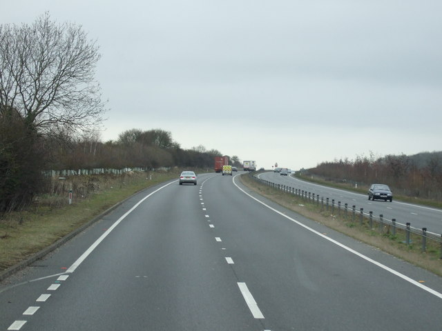
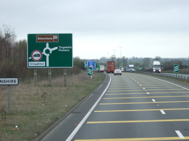
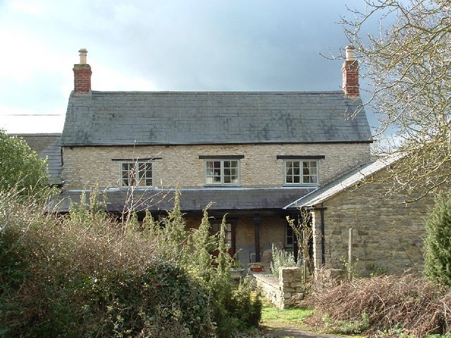
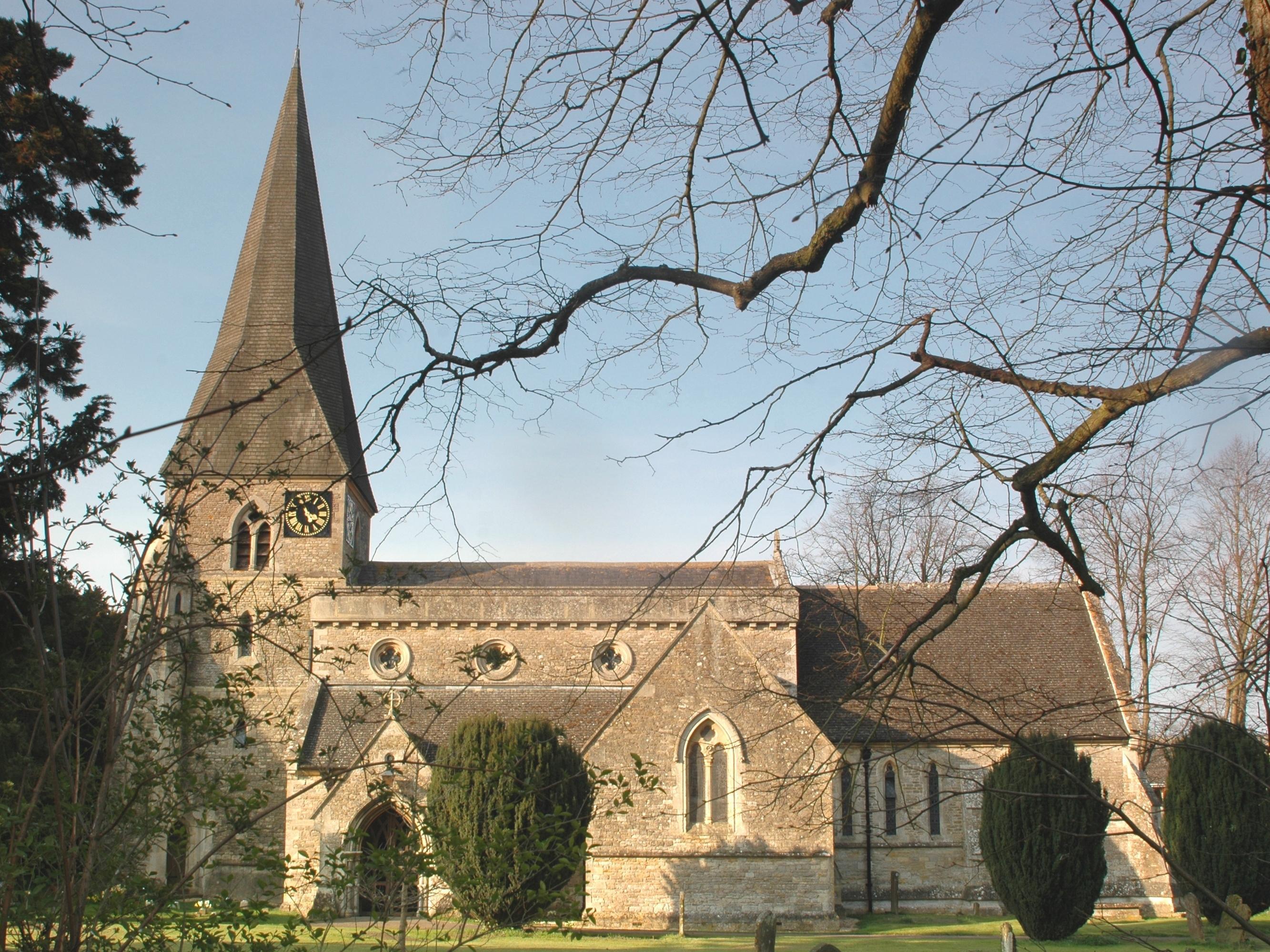
Cottisford Heath Images
Images are sourced within 2km of 51.986532/-1.165647 or Grid Reference SP5732. Thanks to Geograph Open Source API. All images are credited.


Cottisford Heath is located at Grid Ref: SP5732 (Lat: 51.986532, Lng: -1.165647)
Administrative County: Oxfordshire
District: Cherwell
Police Authority: Thames Valley
What 3 Words
///crunching.uncouth.sifts. Near Brackley, Northamptonshire
Nearby Locations
Related Wikis
Juniper Hill
Juniper Hill is a hamlet in the civil parish of Cottisford in Oxfordshire, England, 2 miles (3.2 km) south of Brackley in neighbouring Northamptonshire...

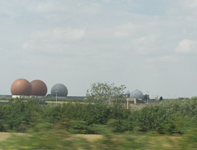
RAF Croughton
Royal Air Force Croughton or more simply RAF Croughton is a Royal Air Force station which is currently a United States Air Force communications station...

Hardwick with Tusmore
Hardwick with Tusmore is a civil parish in Oxfordshire, England. It was formed in 1932 by merger of the parishes of Hardwick (grid reference SP5729) and...

Cottisford
Cottisford is a village and civil parish in Oxfordshire, about 3.5 miles (5.6 km) south of Brackley in neighbouring Northamptonshire. The parish's northern...

Tusmore, Oxfordshire
Tusmore is a settlement about 5+1⁄2 miles (9 km) north of Bicester in Oxfordshire. It is the location of the Tusmore country house and estate. == Manor... ==
Death of Harry Dunn
Harry Dunn was a 19-year-old British man who died following a road traffic collision on 27 August 2019. He was riding his motorcycle near Croughton, Northamptonshire...
Evenley
Evenley is a village and civil parish just over 1 mile (1.6 km) south of Brackley in West Northamptonshire, England. The 2011 Census recorded the parish...

Hardwick, Cherwell
Hardwick is a village in the civil parish of Hardwick with Tusmore about 4.5 miles (7 km) north of Bicester in Oxfordshire. == Manor == The village's toponym...
Nearby Amenities
Located within 500m of 51.986532,-1.165647Have you been to Cottisford Heath?
Leave your review of Cottisford Heath below (or comments, questions and feedback).