Kalliness

Settlement in Shetland

Scotland

Kalliness

Working on the landfall of the interconnector, Weisdale Voe The interconnector will carry electricity generated by the Viking Windfarm to mainland Britain.
Working on the landfall of the interconnector, Weisdale Voe Credit: Mike Pennington

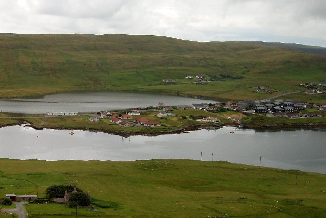
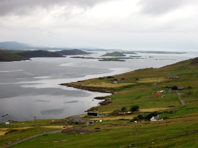
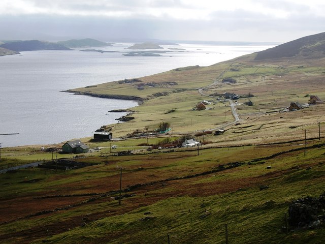
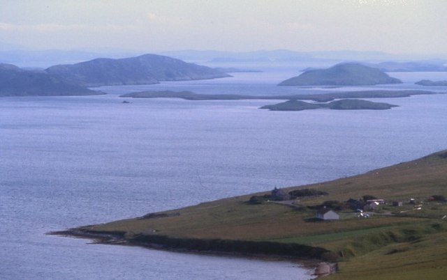
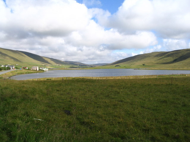
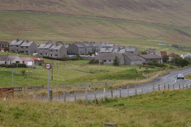
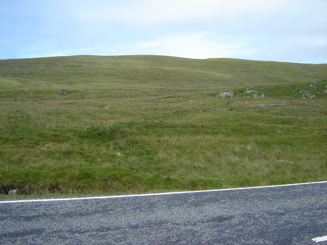
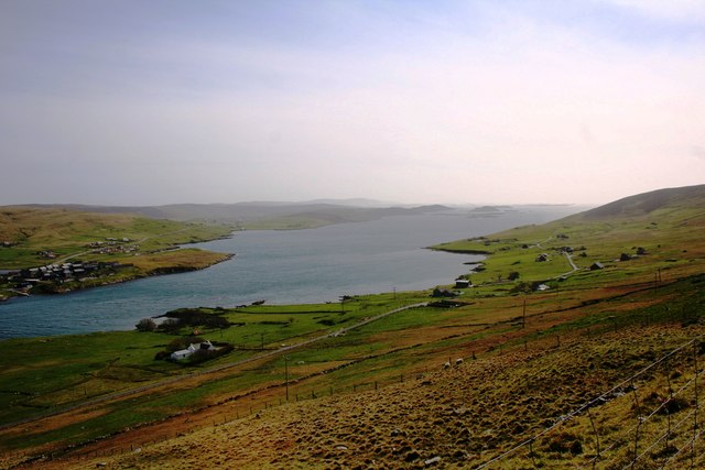
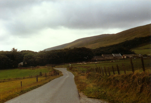
Kalliness is a picturesque coastal village located on the remote and rugged island of Shetland, which belongs to Scotland. Situated in the North Atlantic Ocean, this charming village offers breathtaking views of the surrounding natural beauty, including rolling hills, dramatic cliffs, and crystal-clear waters.

With a population of just over 200 residents, Kalliness exudes a sense of tranquility and serenity. The village is known for its close-knit community, where locals are friendly and welcoming to visitors. The traditional Shetlandic culture is evident throughout the village, with its distinct dialect and vibrant folk music scene.

One of the main attractions in Kalliness is its stunning beaches. The golden sands stretch for miles and provide the perfect setting for long walks, picnics, and even swimming during the warmer months. Wildlife enthusiasts will be delighted by the abundant birdlife, seals, and occasional sightings of whales and dolphins in the surrounding waters.

Kalliness is also an ideal destination for outdoor enthusiasts. The area offers numerous hiking trails, ranging from leisurely strolls along the coast to more challenging routes that lead to impressive viewpoints. Fishing is another popular activity, with the opportunity to catch a variety of fish, including salmon and trout, in the nearby rivers and lochs.

In terms of amenities, Kalliness has a small but well-stocked convenience store, a cozy pub where locals gather for a pint and a chat, and a handful of guesthouses and self-catering accommodations for visitors. Overall, Kalliness provides a peaceful escape for those seeking a taste of traditional Shetland life and stunning coastal scenery.

If you have any feedback on the listing, please let us know in the comments section below.
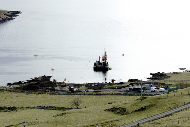
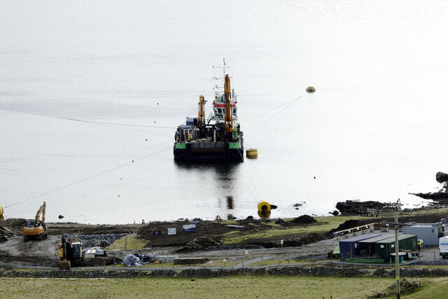
Kalliness Images

Images are sourced within 2km of 60.231271/-1.3028252 or Grid Reference HU3849. Thanks to Geograph Open Source API. All images are credited.

Working on the landfall of the interconnector, Weisdale Voe The interconnector will carry electricity generated by the Viking Windfarm to mainland Britain.
Working on the landfall of the interconnector, Weisdale Voe
The interconnector will carry electricity generated by the Viking Windfarm to mainland Britain.
Landfall for the interconnector, Weisdale Voe
Kalliness The village seen across the waters of Weisdale Voe
Kalliness
The village seen across the waters of Weisdale Voe
Weisdale Voe A view south
Weisdale Voe
A view south
Cott, Weisdale Voe, Shetland Looking south across the community of Cott on the east side of Russaness Hill and down Weisdale Voe with the islands of Greena, Flotta and the Hoggs of Hoy in the distance.
Cott, Weisdale Voe, Shetland
Looking south across the community of Cott on the east side of Russaness Hill and down Weisdale Voe with the islands of Greena, Flotta and the Hoggs of Hoy in the distance.
Cott and Weisdale Voe The crofts at Cott and beyond the islands at the mouth of Weisdale Voe.
Cott and Weisdale Voe
The crofts at Cott and beyond the islands at the mouth of Weisdale Voe.
South end of Loch of Hellister and houses of Kalliness
Looking over Taing of Haggersta to Weisdale Voe from the War Memorial
Hostaberg top Triangulation point at the top of hill
Hostaberg top
Triangulation point at the top of hill
Housing estate at Strom
Haggersta Small collection of buildings beside Weisdale Voe.
Haggersta
Small collection of buildings beside Weisdale Voe.
Housing at Kalliness
Loch of Strom View south from above the bay of Quoy Ness.
Loch of Strom
View south from above the bay of Quoy Ness.
Hill of Hellister from Stromfirth Road
House at Quoyness, by Loch of Strom Beyond the Loch of Strom you can see Whiteness Voe, and in the far distance is the distinctive form of Fitful Head, right at the south end of Mainland Shetland.
House at Quoyness, by Loch of Strom
Beyond the Loch of Strom you can see Whiteness Voe, and in the far distance is the distinctive form of Fitful Head, right at the south end of Mainland Shetland.
Loch of Strom from Quoyness The lochside church can be seen on the left and the remains of a castle are on the small holm. The view south extends as far as Fitful Head, at the very south end of Shetland.
Loch of Strom from Quoyness
The lochside church can be seen on the left and the remains of a castle are on the small holm. The view south extends as far as Fitful Head, at the very south end of Shetland.
Weisdale Voe The broad southwesterly sweep seaward of Weisdale Voe.
Weisdale Voe
The broad southwesterly sweep seaward of Weisdale Voe.
Single track road towards Clach-na-Strom
Show me another place!

Kalliness is located at Grid Ref: HU3849 (Lat: 60.231271, Lng: -1.3028252)

Unitary Authority: Shetland Islands

Police Authority: Highlands and Islands

What 3 Words

///pleaser.venues.builders. Near Aith, Shetland Islands

Related Wikis

Greena

Greena is a small island off the west coast of Mainland, Shetland. It is 10m at its highest point, and is north of Flotta, Shetland. It is in Weisdale...

Weisdale Mill

Weisdale Mill is a watermill in the village of Weisdale, Shetland, Scotland. It is located near the head of Weisdale Voe on the west of the island, a twenty...

Westerfield, Shetland

Westerfield is a coastal community on Mainland, in Shetland, Scotland. The community is within the parish of Sandsting.It lies to the west of Tresta on...

Flotta, Shetland

Flotta (grid reference HU375462) is an island off the south west of Mainland, Shetland. The name may come from the Old Norse, flatey meaning flat island...

Weisdale

Weisdale is a bay, hamlet and ancient parish on Mainland in Shetland, Scotland. The bay opens near the northern extremity of Scalloway Bay, and strikes...

Hoy, Shetland

Hoy (Háey, Old Norse for 'high island') is a small island in Weisdale Voe, an arm of the sea in the Shetland islands, Scotland. Nearby are the smaller...

Tingwall Airport

Tingwall Airport (IATA: LWK, ICAO: EGET), also known as Lerwick/Tingwall Airport, is located in the Tingwall valley, near the village of Gott, 4 NM (7...

Whiteness, Shetland

Whiteness (Old Norse: Hvitanes, white headland) is a village in Tingwall parish, Shetland Islands, Scotland, on Mainland. It is also an ancient civil parish...

Nearby Amenities

Located within 500m of 60.231271,-1.3028252
Fuel
Shop: convenience
Lat/Long: 60.2313757/-1.3019552
Hellister
Place: village
Lat/Long: 60.2295306/-1.3022424
Post Box
Operator: Royal Mail
Post Box Type: lamp
Ref: ZE2 46
Royal Cypher: scottish_crown
Lat/Long: 60.2312116/-1.3019692
Tourist Information Centre
Tourism: information
Lat/Long: 60.2332493/-1.3011906
Shetland Jewellery
Shop: jewelry
Lat/Long: 60.2334491/-1.3010833
Telephone
Booth: KX100
Covered: booth
Lat/Long: 60.2315488/-1.3020838
Robertson and Morrison
Shop: convenience
Lat/Long: 60.2314063/-1.3021347
Recycling
Lat/Long: 60.2312185/-1.3016466
Bus Stop
Naptan AtcoCode: 603044
Naptan NaptanCode: 45823765
Lat/Long: 60.2313117/-1.3016332
Barrier: cattle_grid
Lat/Long: 60.2275228/-1.3023278
Barrier: cattle_grid
Lat/Long: 60.2276267/-1.3008902
Barrier: cattle_grid
Lat/Long: 60.2278158/-1.2989268
Bus Stop
Naptan AtcoCode: 603043
Naptan NaptanCode: 45823764
Lat/Long: 60.229936/-1.3017458
Power: pole
Lat/Long: 60.2270923/-1.3021232
Power: pole
Lat/Long: 60.2276498/-1.3022274
Power: pole
Lat/Long: 60.2283796/-1.3021464
Power: pole
Lat/Long: 60.228993/-1.3020914
Power: pole
Lat/Long: 60.2293924/-1.3020856
Power: pole
Lat/Long: 60.2298105/-1.3020307
Power: pole
Lat/Long: 60.235018/-1.2989777
Power: pole
Lat/Long: 60.2345544/-1.2998778
Power: pole
Lat/Long: 60.2341059/-1.300579
Power: pole
Lat/Long: 60.2336791/-1.3014825
Power: pole
Lat/Long: 60.2333276/-1.3022208
Power: pole
Lat/Long: 60.2273485/-1.2993318
Power: pole
Lat/Long: 60.2274537/-1.3003323
Power: pole
Lat/Long: 60.2275563/-1.301271
The data included in this document is from www.openstreetmap.org. The data is made available under ODbL.

Have you been to Kalliness?

Leave your review of Kalliness below (or comments, questions and feedback).