Jawcraig
Settlement in Stirlingshire
Scotland
Jawcraig
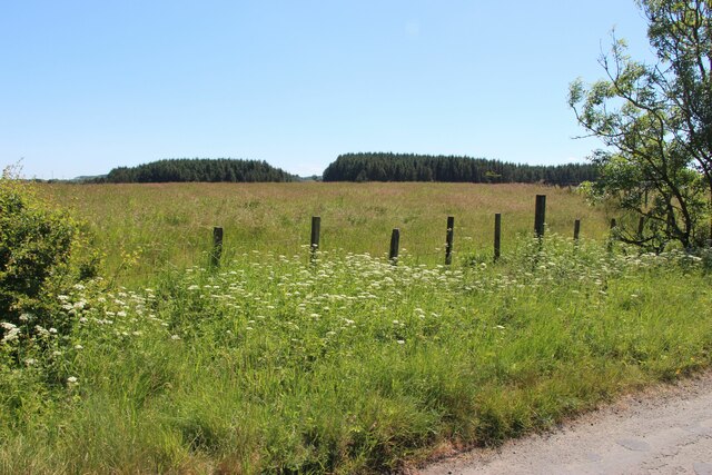
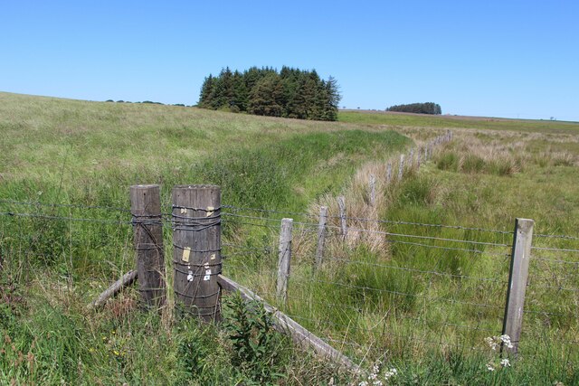
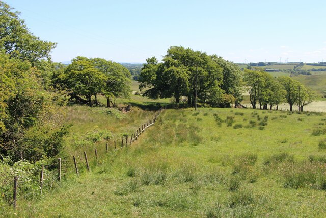
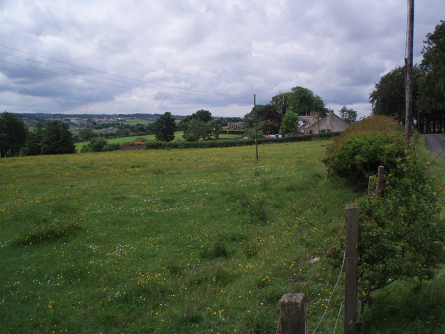
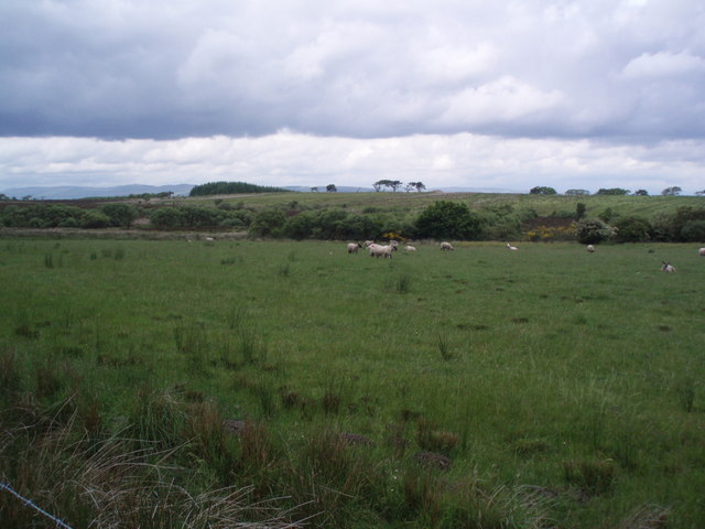
Jawcraig is a small hamlet located in the county of Stirlingshire, Scotland. Situated approximately 5 miles northwest of the town of Falkirk, Jawcraig is nestled within a scenic rural landscape characterized by rolling hills and lush green fields. It is part of the wider Falkirk council area and falls within the Falkirk North electoral ward.
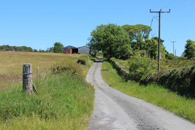
The hamlet is home to a small population, consisting mainly of residential properties and a few farmsteads. The houses in Jawcraig are predominantly traditional stone-built structures, adding to the area's charming and rustic appeal. The community in Jawcraig is close-knit, with a friendly and welcoming atmosphere.
Despite its small size, Jawcraig benefits from its proximity to nearby towns and cities. Falkirk, with its range of amenities including shops, restaurants, and leisure facilities, is easily accessible, providing residents with convenient access to various services. Additionally, the larger cities of Glasgow and Edinburgh are within commuting distance, offering further opportunities for work and entertainment.
The surrounding countryside offers ample opportunities for outdoor activities, with numerous walking trails and cycling routes in the vicinity. The nearby Falkirk Wheel, a remarkable feat of engineering, is a popular tourist attraction and provides a unique experience for visitors.
Overall, Jawcraig provides a peaceful and picturesque setting for those seeking a tranquil rural lifestyle while still having access to the amenities of nearby towns and cities.
If you have any feedback on the listing, please let us know in the comments section below.
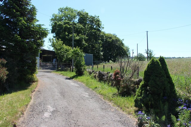
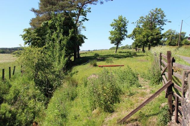
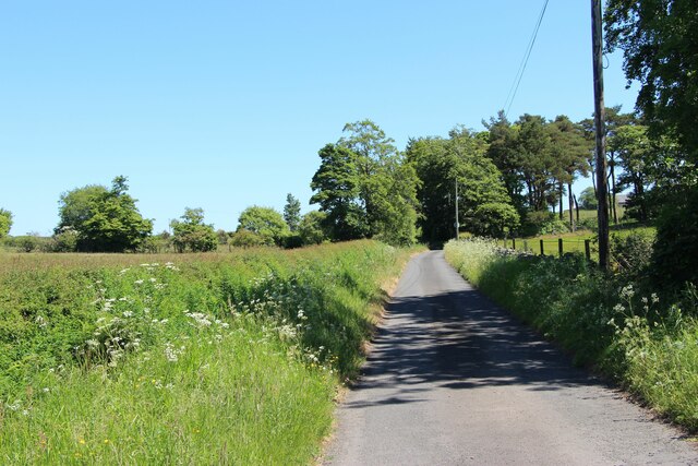
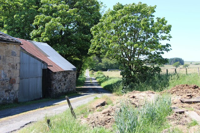
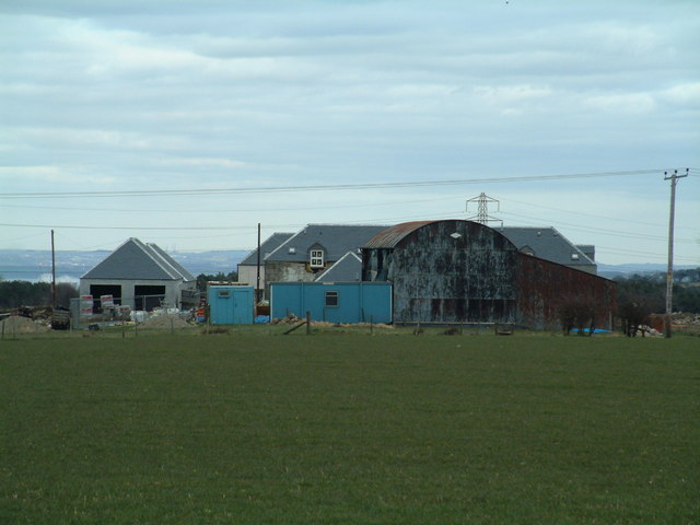
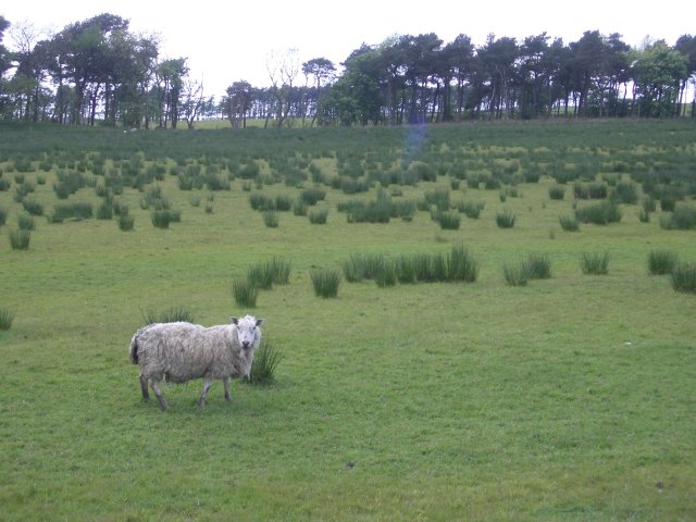
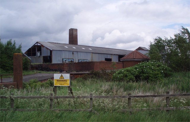
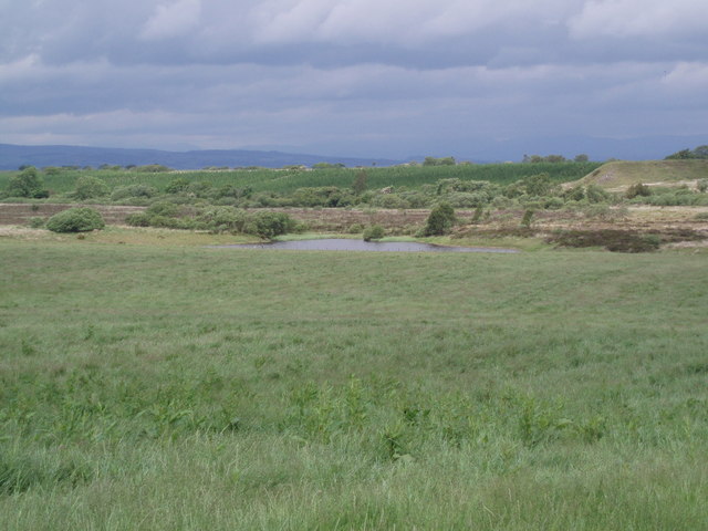
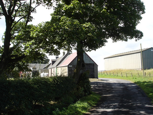
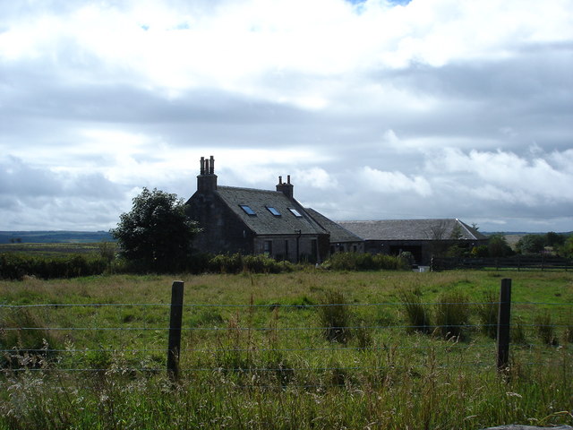
Jawcraig Images
Images are sourced within 2km of 55.956967/-3.8432222 or Grid Reference NS8575. Thanks to Geograph Open Source API. All images are credited.
Jawcraig is located at Grid Ref: NS8575 (Lat: 55.956967, Lng: -3.8432222)
Unitary Authority: Falkirk
Police Authority: Forth Valley
What 3 Words
///strength.refers.requiring. Near Slamannan, Falkirk
Nearby Locations
Related Wikis

Central Belt
The Central Belt of Scotland is the area of highest population density within Scotland. Depending on the definition used, it has a population of between...

Slamannan
Slamannan (Scottish Gaelic: Sliabh Mhanainn) is a village in the south of the Falkirk council area in Central Scotland. It is 4.6 miles (7.4 km) south...
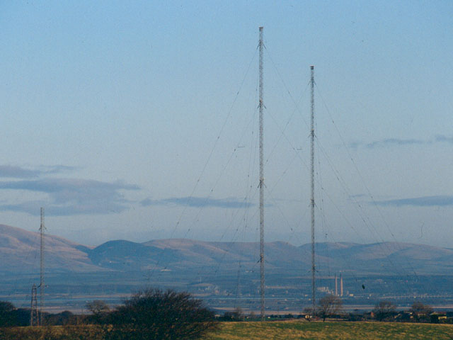
Westerglen transmitting station
The Westerglen transmitting station is a facility for longwave and mediumwave broadcasting established in 1932 at Westerglen Farm, 2 miles (3 km) south...

Slamannan railway station
Slamannan railway station served the village of Slamannan, Falkirk, Scotland, from 1840 to 1930 on the Slamannan Railway. == History == The station was...
Nearby Amenities
Located within 500m of 55.956967,-3.8432222Have you been to Jawcraig?
Leave your review of Jawcraig below (or comments, questions and feedback).