Darnrig Moss
Downs, Moorland in Stirlingshire
Scotland
Darnrig Moss

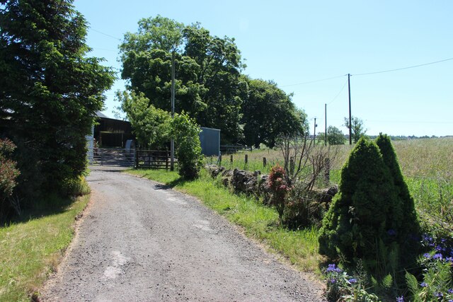
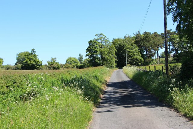
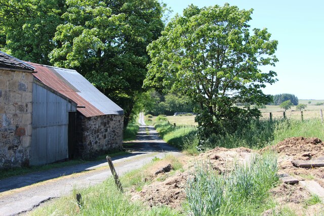
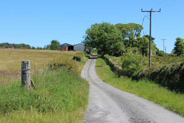
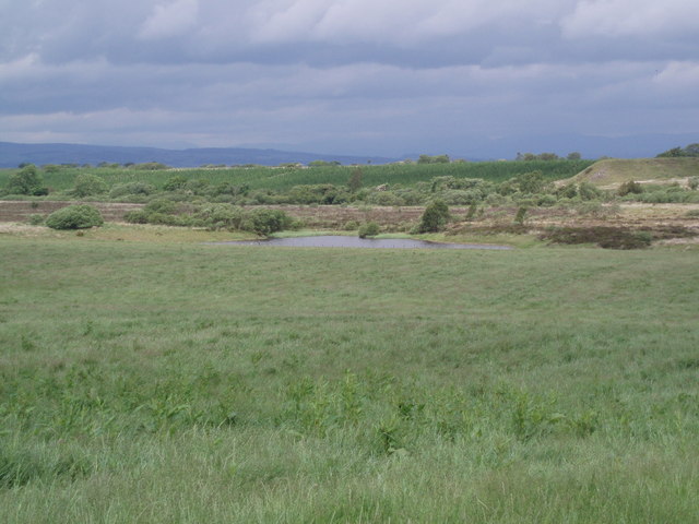
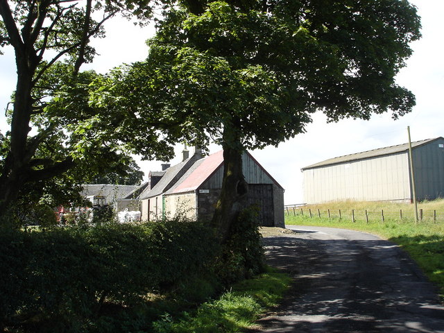
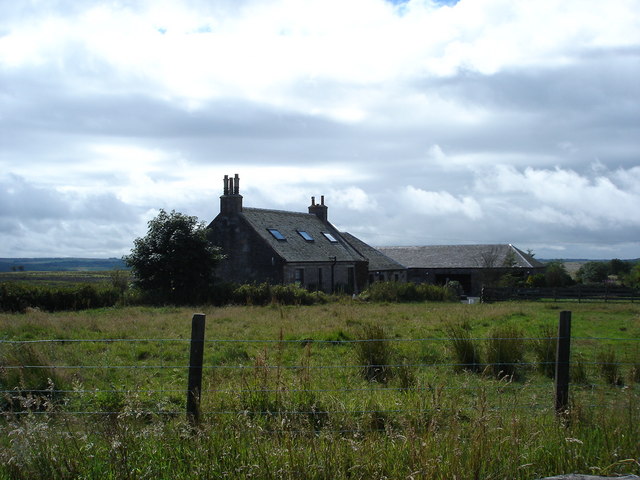
Darnrig Moss is a captivating natural landscape located in Stirlingshire, Scotland. It is a vast expanse of downs and moorland that stretches across several kilometers, offering visitors a unique and serene environment to explore.
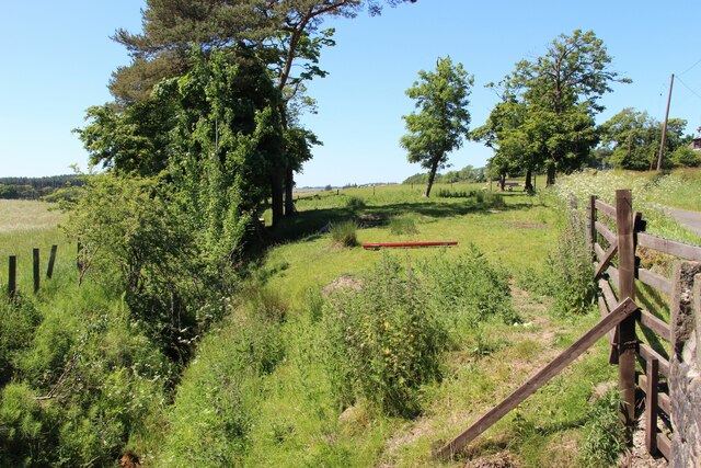
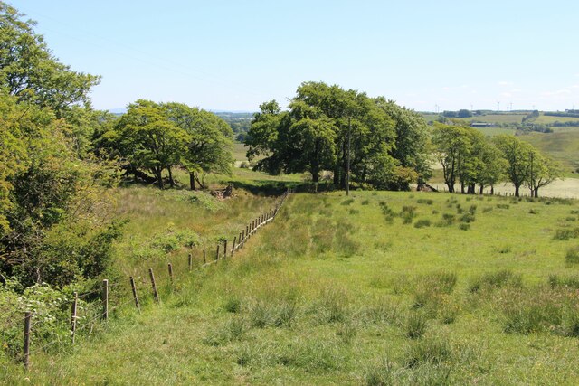
The moss is characterized by its rolling hills, covered in a thick layer of heather and other indigenous vegetation. This creates a stunning tapestry of purples, greens, and browns, particularly during the blooming season. The area is also dotted with numerous lochs, adding to its picturesque appeal.
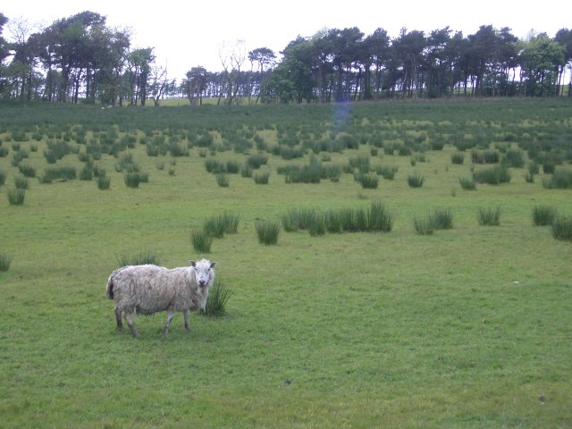
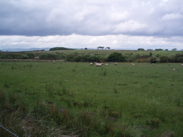
Darnrig Moss is home to a diverse range of flora and fauna, making it an ideal destination for nature enthusiasts and birdwatchers. The moss provides a habitat for various bird species, including curlews, lapwings, and red grouse. It is not uncommon to spot these birds soaring through the skies or nesting in the heather.
The moss is crisscrossed with walking paths and trails, allowing visitors to explore the area at their own pace. These paths offer breathtaking views of the surrounding countryside and showcase the area's natural beauty. It is advisable for visitors to bring suitable walking gear, as the terrain can be uneven and occasionally boggy.
Darnrig Moss is a peaceful and tranquil location, far away from the hustle and bustle of city life. It offers a chance to reconnect with nature and experience the Scottish countryside at its finest. Whether it is for a leisurely stroll or a day of birdwatching, Darnrig Moss is a must-visit destination for anyone seeking a serene and unspoiled natural setting.
If you have any feedback on the listing, please let us know in the comments section below.
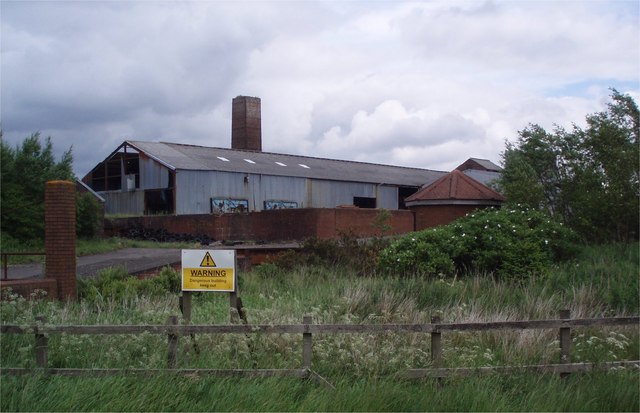
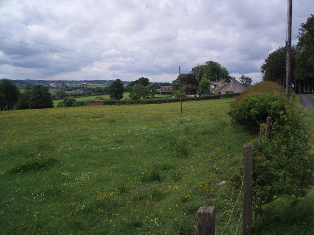
Darnrig Moss Images
Images are sourced within 2km of 55.956203/-3.8306114 or Grid Reference NS8575. Thanks to Geograph Open Source API. All images are credited.


Darnrig Moss is located at Grid Ref: NS8575 (Lat: 55.956203, Lng: -3.8306114)
Unitary Authority: Falkirk
Police Authority: Forth Valley
What 3 Words
///slid.developed.recently. Near Slamannan, Falkirk
Nearby Locations
Related Wikis

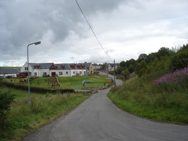
Slamannan
Slamannan (Scottish Gaelic: Sliabh Mhanainn) is a village in the south of the Falkirk council area in Central Scotland. It is 4.6 miles (7.4 km) south...

Central Belt
The Central Belt of Scotland is the area of highest population density within Scotland. Depending on the definition used, it has a population of between...
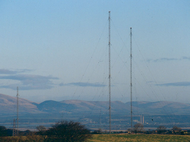
Westerglen transmitting station
The Westerglen transmitting station is a facility for longwave and mediumwave broadcasting established in 1932 at Westerglen Farm, 2 miles (3 km) south...

Slamannan railway station
Slamannan railway station served the village of Slamannan, Falkirk, Scotland, from 1840 to 1930 on the Slamannan Railway. == History == The station was...

Falkirk (council area)
Falkirk (; Scots: Fawkirk [ˈfɔːkɪrk]; Scottish Gaelic: An Eaglais Bhreac) is one of 32 unitary authority council areas of Scotland. It was formed on 1...
Binniehill
Binniehill is a village in Falkirk, Scotland. The name is a tautology, with "binnie" coming from Scottish Gaelic "binnean" meaning a small hill. ��2�...

Battle of Falkirk Muir
The Battle of Falkirk Muir (Scottish Gaelic: Blàr na h-Eaglaise Brice), also known as the Battle of Falkirk, took place on 17 January 1746 during the Jacobite...
Bantaskine
Bantaskine is a park with woodlands in Falkirk, Scotland that was formerly the Bantaskine Estate, a coal mining estate. The artist Mary Georgina Wade...
Nearby Amenities
Located within 500m of 55.956203,-3.8306114Have you been to Darnrig Moss?
Leave your review of Darnrig Moss below (or comments, questions and feedback).