Jackstown
Settlement in Aberdeenshire
Scotland
Jackstown
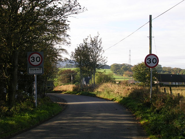
Jackstown is a small village located in Aberdeenshire, Scotland. Situated on the eastern coast of the country, it is nestled between the larger towns of Fraserburgh and Peterhead. With a population of around 500 residents, Jackstown offers a tranquil and close-knit community atmosphere.
The village is known for its picturesque surroundings, surrounded by rolling green hills and scenic landscapes. It has a rich history dating back centuries, evident in its well-preserved traditional architecture and historic landmarks. The main street of Jackstown is lined with charming stone cottages, local shops, and a few small businesses.
Despite its small size, Jackstown offers several amenities to its residents. There is a primary school located within the village, providing education for children in the area. Additionally, the village has a community center that hosts various events and activities throughout the year, fostering a sense of togetherness among its inhabitants.
The natural beauty of Jackstown is a major draw for visitors. The nearby coastline boasts stunning sandy beaches, cliffs, and rugged coastal paths, making it a popular destination for outdoor enthusiasts and nature lovers. The village is also known for its proximity to several golf courses, attracting golf enthusiasts from far and wide.
Overall, Jackstown presents an idyllic setting for those seeking a peaceful and scenic place to live or visit. Its rich history, strong sense of community, and stunning natural surroundings make it a hidden gem within Aberdeenshire.
If you have any feedback on the listing, please let us know in the comments section below.
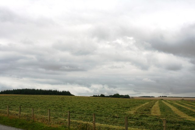
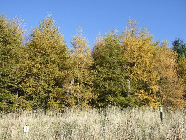
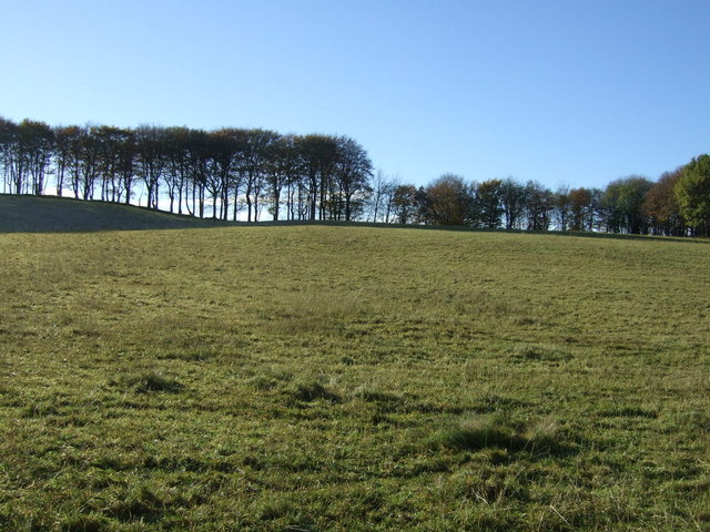
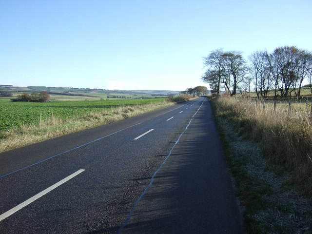
Jackstown Images
Images are sourced within 2km of 57.37158/-2.4125697 or Grid Reference NJ7531. Thanks to Geograph Open Source API. All images are credited.


Jackstown is located at Grid Ref: NJ7531 (Lat: 57.37158, Lng: -2.4125697)
Unitary Authority: Aberdeenshire
Police Authority: North East
What 3 Words
///burst.lilac.payout. Near Rothienorman, Aberdeenshire
Nearby Locations
Related Wikis

Meldrum transmitting station
The Meldrum transmitting station is a broadcasting and telecommunications facility, situated on Core Hill, 4.3 miles (6.9 km) north-west of the village...

Folla Rule
Folla Rule is a hamlet in Aberdeenshire, Scotland, on the site of the 1376 chapel of St Rule at Folla. Another church, St George's Episcopal, was built...

Loanhead of Daviot stone circle
Loanhead of Daviot stone circle is a recumbent stone circle in Aberdeenshire in lowland northeast Scotland. The circle consists of the recumbent stone...

Mounie Castle
Mounie Castle stands in its grounds in the village of Daviot, Aberdeenshire, Scotland. It is a Category A listed building. It was built by Robert Farquhar...
Meikle Wartle
Meikle Wartle is a small rural village in Aberdeenshire, Scotland. It is around 7 miles north of Inverurie. Local facilities include a village hall dating...

Wartle railway station
Wartle railway station was a railway station that served local farms and the nearby hamlet of Meikle Wartle, Aberdeenshire. It was opened in 1857 by the...
Daviot, Aberdeenshire
Daviot (Gaelic: Deimhidh) is a village in Aberdeenshire, 4 miles from the busy town of Inverurie. It is the birthplace of theologian William Robinson Clark...

Fingask railway station
Fingask railway station, Fingask Platform railway station or Fingask Halt railway station was situated in the Fingask area of Aberdeenshire, Scotland,...
Nearby Amenities
Located within 500m of 57.37158,-2.4125697Have you been to Jackstown?
Leave your review of Jackstown below (or comments, questions and feedback).