Inver

Settlement in Caithness

Scotland

Inver

Laidhay Croft Museum Horse-drawn hay rake.
Laidhay Croft Museum Credit: sylvia duckworth

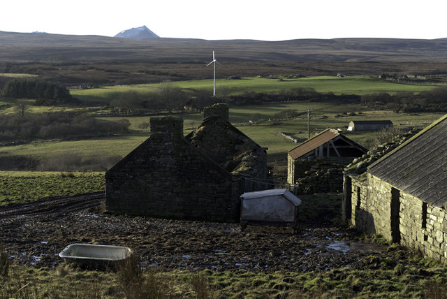
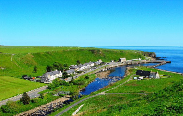
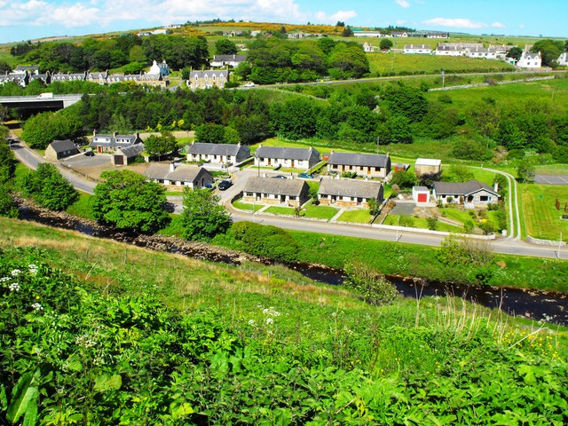
Inver, Caithness is a picturesque village located in the Highland region of Scotland. Nestled along the northeastern coastline, it lies approximately 3 miles west of the town of Wick. With a population of around 500 residents, Inver offers a tranquil and intimate setting for its inhabitants.

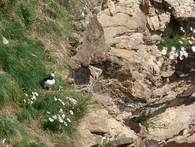
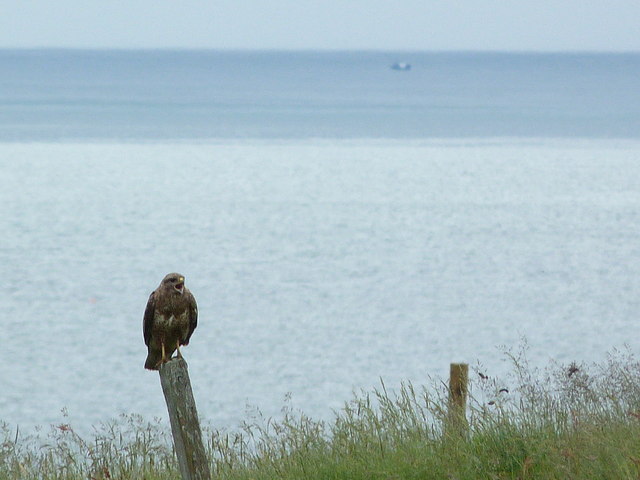
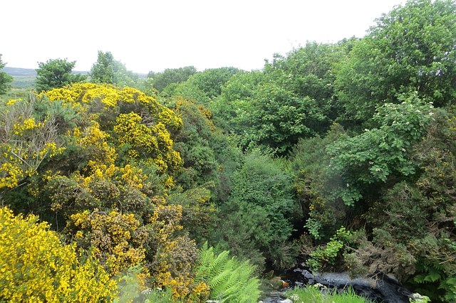
The village is renowned for its stunning natural beauty, boasting panoramic views of the North Sea and the surrounding rugged landscape. Its coastal location also provides opportunities for various outdoor activities such as fishing, boating, and coastal walks.

Inver is rich in history and heritage, with several notable landmarks and historical sites. One such landmark is the Inver House Distillery, which produces the famous Old Pulteney single malt Scotch whisky. Visitors can take a tour of the distillery, learning about the intricate whisky-making process while enjoying samples of the renowned spirit.

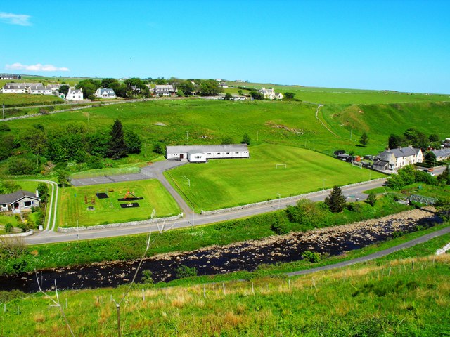
The village is well-served by amenities, including a primary school, a post office, and a local convenience store. Additionally, Inver benefits from its proximity to Wick, where residents can access a wider range of services, including secondary schools, supermarkets, and healthcare facilities.

The community in Inver is tight-knit and welcoming, with various social and recreational activities available for residents. Local events, such as the annual Inver Gala, bring the community together and showcase the talents and traditions of the area.

Inver, Caithness offers a serene and idyllic lifestyle, combining natural beauty, historical significance, and a strong sense of community. It is a destination that appeals to those seeking a peaceful coastal retreat in the heart of the Scottish Highlands.

If you have any feedback on the listing, please let us know in the comments section below.
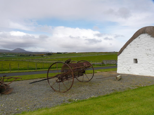
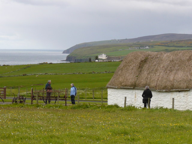
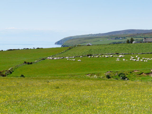
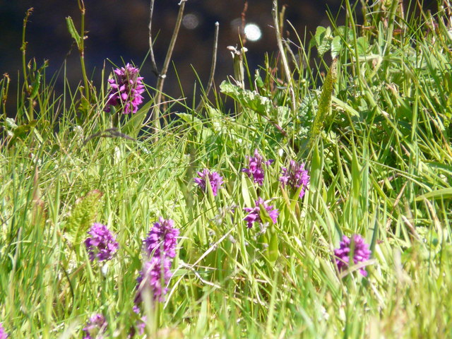
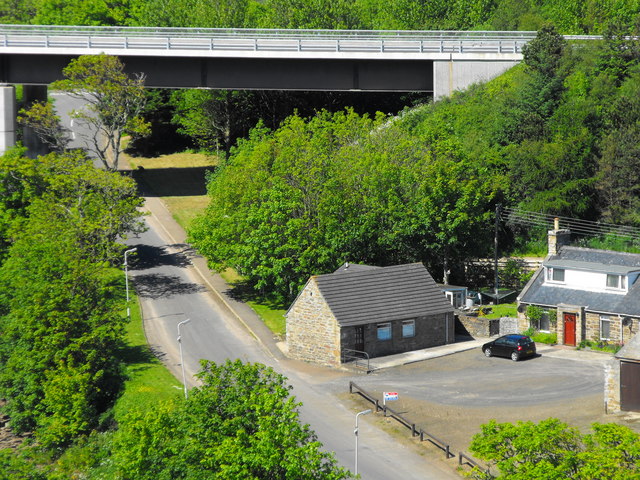
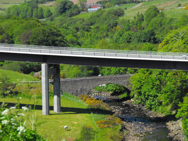
Inver Images

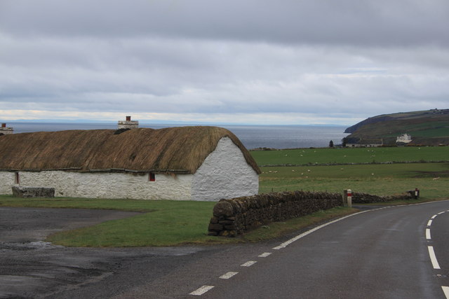
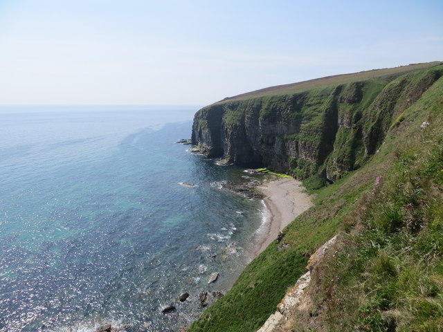
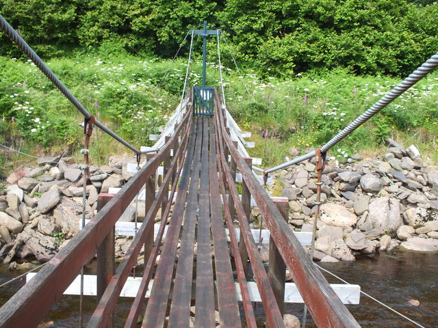
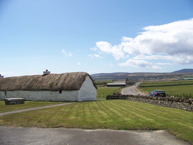
Images are sourced within 2km of 58.252756/-3.4172388 or Grid Reference ND1630. Thanks to Geograph Open Source API. All images are credited.

Laidhay Croft Museum Horse-drawn hay rake.
Laidhay Croft Museum
Horse-drawn hay rake.
Laidhay Croft Museum
Window at Laidhay Croft Museum
Meadow at Laidhay How refreshing to find such a rich natural meadow, knee-high in wildflowers and grasses!
Meadow at Laidhay
How refreshing to find such a rich natural meadow, knee-high in wildflowers and grasses!
Orchids in the meadow at Laidhay
Puffin on the cliffs near Toremore
Buzzard on the cliff-top near Toremore No doubt on the lookout for an unguarded egg or seabird chick.
Buzzard on the cliff-top near Toremore
No doubt on the lookout for an unguarded egg or seabird chick.
Ruin near Badnagie - looking towards Morvern
Laidhay Croft Museum on the A9
Coast line at Fraigheach
Footbridge across Dunbeath Water Footbridge across Dunbeath Water near Dunbeath Broch
Footbridge across Dunbeath Water
Footbridge across Dunbeath Water near Dunbeath Broch
Laidhay Croft Museum on the A9
Black Burn, Dunbeath Down there in the jungle.
Black Burn, Dunbeath
Down there in the jungle.
Dunbeath Harbour Featured by Neil Gunn in his stories
Dunbeath Harbour
Featured by Neil Gunn in his stories
Dunbeath Playing Field Picture shows the field and Village Hall beside Dunbeath Water
Dunbeath Playing Field
Picture shows the field and Village Hall beside Dunbeath Water
Housing Estate Housing at Dunbeath beside Dunbeath Water
Housing Estate
Housing at Dunbeath beside Dunbeath Water
Once Dunbeath Smiddy Once a smiddy then a tearoom/restaurant. What a pity it is now closed.
Once Dunbeath Smiddy
Once a smiddy then a tearoom/restaurant. What a pity it is now closed.
Telford's Bridge Dunbeath Telford's Bridge once carried the A9 over Dunbeath Water and has been replaced by the modern structure above it in the picture.
Telford's Bridge Dunbeath
Telford's Bridge once carried the A9 over Dunbeath Water and has been replaced by the modern structure above it in the picture.
Show me another place!

Inver is located at Grid Ref: ND1630 (Lat: 58.252756, Lng: -3.4172388)

Unitary Authority: Highland

Police Authority: Highlands and Islands

What 3 Words

///parsnips.monday.unravel. Near Dunbeath, Highland

Nearby Locations

Inver Bulno

Related Wikis

Dunbeath Water

Dunbeath Water is a short river in Caithness in northern Scotland. It rises at Loch Braigh na h-Aibhne in the Flow Country and initially flows northeast...

Dunbeath

Dunbeath (Scottish Gaelic: Dùn Bheithe) is a village in south-east Caithness, Scotland on the A9 road. It sits astride the Dunbeath Water just before it...

Balnabruich

Balnabruich (from Scottish Gaelic Baile na Bruaich) is a small hamlet on the east coast of Scotland, close to Dunbeath, Caithness, Scottish Highlands...

Dunbeath Castle

Dunbeath Castle is located on the east coast of Caithness, 2 kilometres (1.2 mi) south of Dunbeath, in northern Scotland. Although a castle has stood here...

Nearby Amenities

Located within 500m of 58.252756,-3.4172388
Torebeg
Place: hamlet
Lat/Long: 58.2545492/-3.4224096
Inver
Place: hamlet
Lat/Long: 58.2519011/-3.4168939
Inver Caravan Park & BB
Addr City: Dunbeath
Addr Postcode: KW6 6EH
Phone: +44 1593 731441
Tourism: camp_site
Website: http://www.invercaravanpark.co.uk
Wheelchair: yes
Wheelchair Description: One room in BB is fully accessible. It contains 3 single beds and private bathroom with shower
Lat/Long: 58.2501756/-3.4216049
Toremore
Place: hamlet
Lat/Long: 58.2539716/-3.4133833
Post Box
Collection Times: Mo-Sa 12:00
Post Box Mounting: pier
Post Box Type: lamp
Ref: KW6 44
Royal Cypher: scottish_crown
Lat/Long: 58.2492317/-3.4218984
Power: pole
Lat/Long: 58.2525953/-3.4217397
Power: pole
Lat/Long: 58.252028/-3.4228442
Power: pole
Lat/Long: 58.2516776/-3.4235244
Power: pole
Lat/Long: 58.2514639/-3.423965
Power: pole
Lat/Long: 58.2513907/-3.4253558
Power: pole
Lat/Long: 58.2513614/-3.4193499
Power: pole
Lat/Long: 58.2519767/-3.4205316
Power: pole
Lat/Long: 58.2532353/-3.4229477
Power: pole
Lat/Long: 58.2497962/-3.4212178
Power: pole
Lat/Long: 58.2501733/-3.4207651
Power: pole
Lat/Long: 58.250559/-3.4203062
Power: pole
Lat/Long: 58.2509415/-3.4198473
Power: pole
Lat/Long: 58.251684/-3.4188849
Power: pole
Lat/Long: 58.2520622/-3.418355
Power: pole
Lat/Long: 58.2524148/-3.4178616
Power: pole
Lat/Long: 58.2527716/-3.4173804
Power: pole
Lat/Long: 58.252543/-3.4168627
Power: pole
Lat/Long: 58.251949/-3.4154739
Power: pole
Lat/Long: 58.2515921/-3.4146617
Power: pole
Lat/Long: 58.2567173/-3.4135176
Power: pole
Lat/Long: 58.2560197/-3.4149125
Power: pole
Lat/Long: 58.2552944/-3.4163662
Power: pole
Lat/Long: 58.2547293/-3.4153328
Power: pole
Lat/Long: 58.2541353/-3.4142465
Power: pole
Lat/Long: 58.2526417/-3.4193571
Power: pole
Lat/Long: 58.2507871/-3.4195586
Power: pole
Lat/Long: 58.250385/-3.4210961
The data included in this document is from www.openstreetmap.org. The data is made available under ODbL.

Have you been to Inver?

Leave your review of Inver below (or comments, questions and feedback).