Instow Town
Settlement in Devon North Devon
England
Instow Town
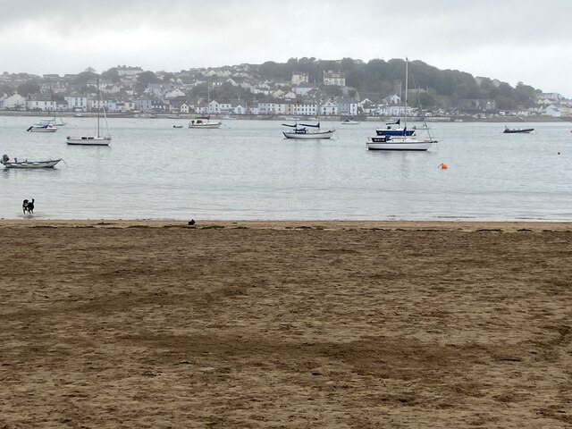
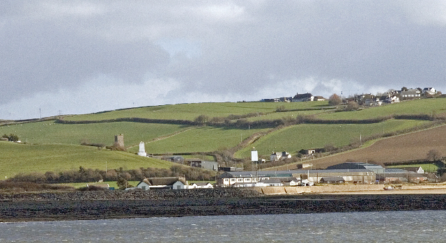
Instow is a picturesque village located in North Devon, England. Situated between the estuaries of the rivers Taw and Torridge, it offers stunning views of the surrounding countryside and the Atlantic Ocean. With a population of around 1,000 residents, Instow is a small but vibrant community that attracts visitors from far and wide.
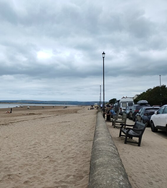
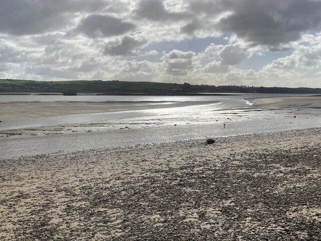
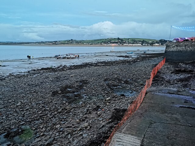
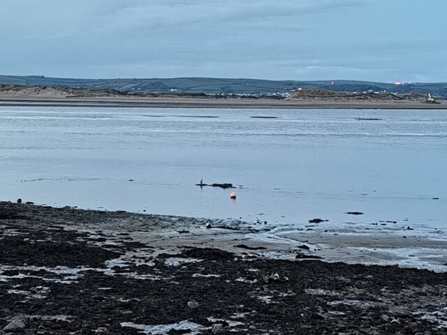
The village is known for its beautiful sandy beach, which stretches for miles and provides the perfect spot for sunbathing, swimming, and various water sports. It is a popular destination for families, as the beach is safe and the waters are relatively calm. The sand dunes and dune grasses add to the natural beauty of the area.
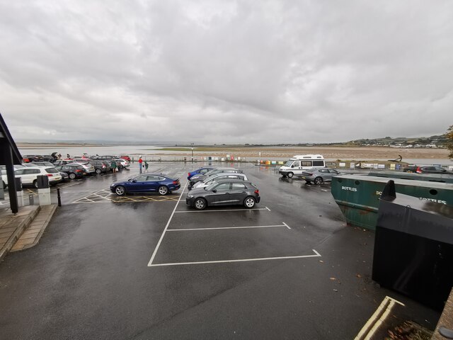
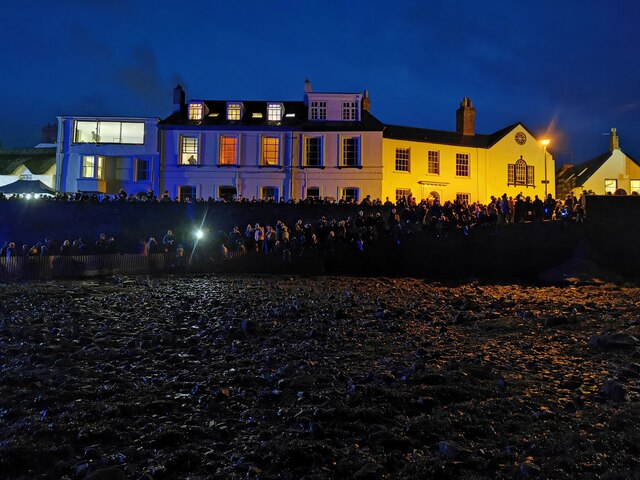
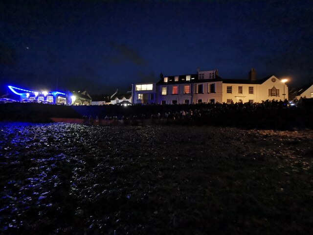
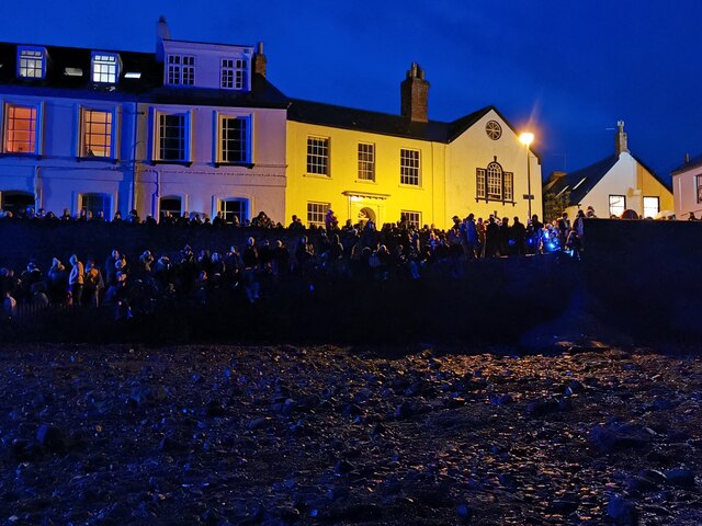
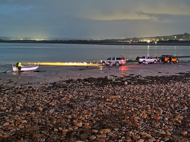
Instow boasts a rich maritime history, and the village's charming waterfront is lined with traditional fishermen's cottages and elegant Georgian houses. The Instow Quay is a focal point of the village, where boats can be seen bobbing in the water and fishermen unloading their catch. The quay also offers a delightful selection of cafes, restaurants, and pubs, where visitors can enjoy delicious seafood and soak up the peaceful atmosphere.
For those looking to explore the area further, the nearby Tarka Trail provides an excellent opportunity for walking and cycling. This scenic trail follows the path of the old railway line and offers stunning views of the estuary and surrounding countryside.
In summary, Instow is a delightful coastal village in North Devon, offering a charming waterfront, a beautiful sandy beach, and a rich maritime history. It is a perfect destination for those seeking relaxation, outdoor activities, and a taste of traditional village life.
If you have any feedback on the listing, please let us know in the comments section below.
Instow Town Images
Images are sourced within 2km of 51.05946/-4.167007 or Grid Reference SS4831. Thanks to Geograph Open Source API. All images are credited.


Instow Town is located at Grid Ref: SS4831 (Lat: 51.05946, Lng: -4.167007)
Administrative County: Devon
District: North Devon
Police Authority: Devon and Cornwall
What 3 Words
///evenly.workflow.lifelong. Near Fremington, Devon
Nearby Locations
Related Wikis
RM Instow
RM Instow, also known as Arromanches Camp, is a military installation operated by the Royal Marines at Instow in North Devon located 5.2 miles (8.4 km...
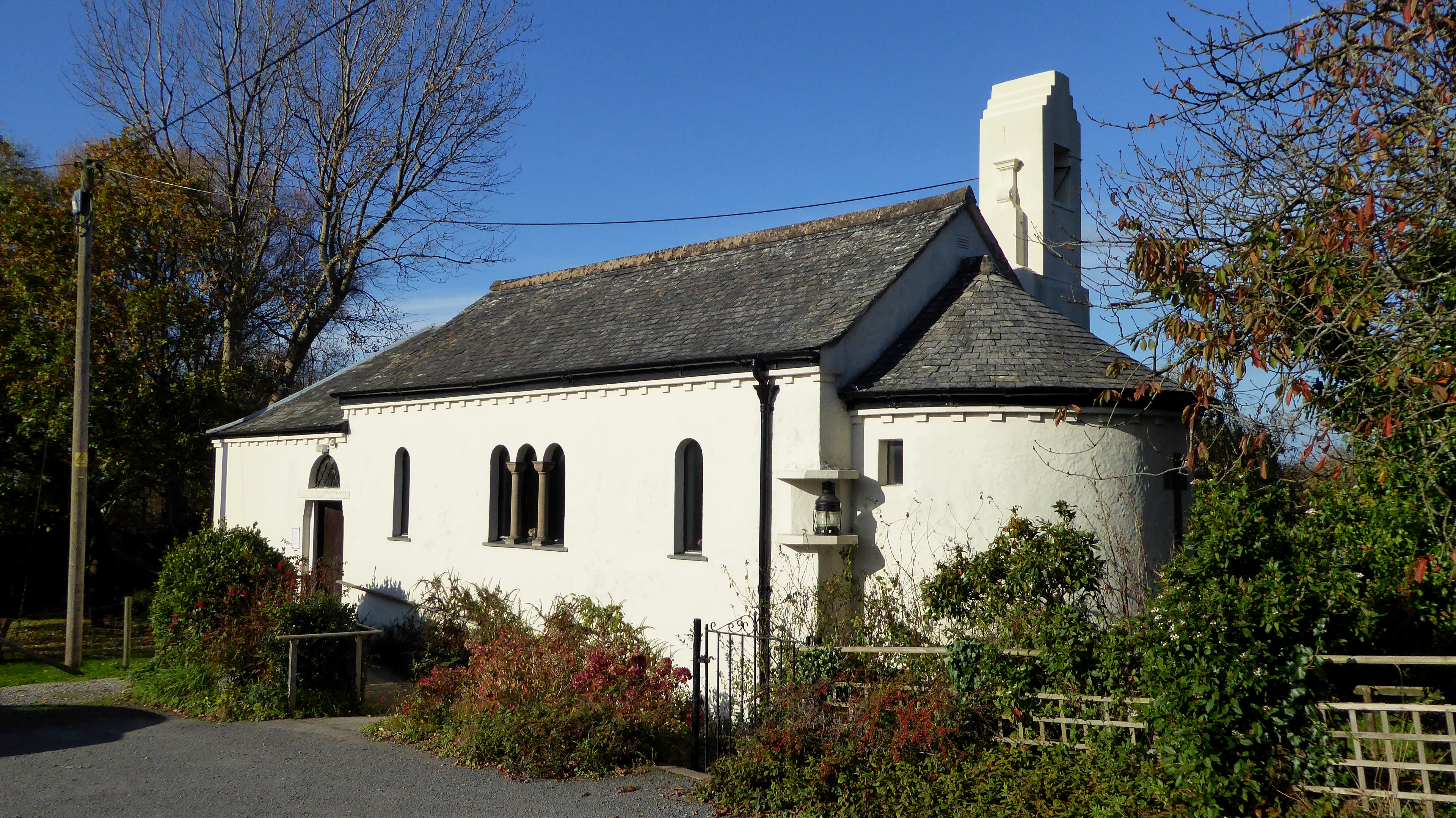
All Saints Chapel, Instow
All Saints Chapel is a combined Church of England chapel and community centre in Instow, Devon, England. == History == All Saints was designed by the local...

Instow
Instow is a village in north Devon, England. It is on the estuary where the rivers Taw and Torridge meet, between the villages of Westleigh and Yelland...
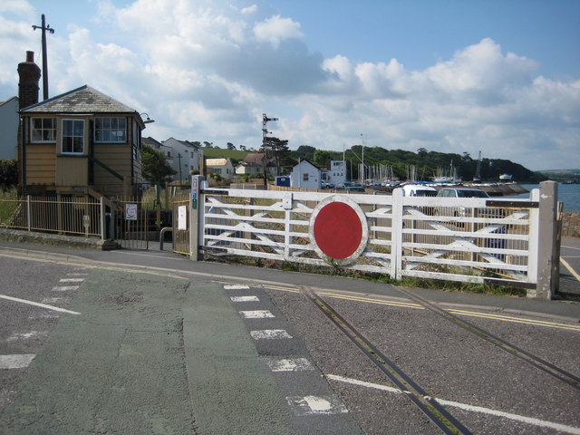
Instow railway station
Instow railway station was a railway station in the village of Instow, North Devon, England, on the Bideford Extension of the North Devon Railway. Opened...
Nearby Amenities
Located within 500m of 51.05946,-4.167007Have you been to Instow Town?
Leave your review of Instow Town below (or comments, questions and feedback).