Incline Top
Settlement in Glamorgan
Wales
Incline Top
Incline Top is a small village located in the county of Glamorgan, Wales. Situated in the beautiful countryside, it is surrounded by rolling hills and picturesque landscapes. The village is known for its tranquil and peaceful atmosphere, making it a popular destination for those seeking a break from the hustle and bustle of city life.
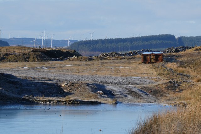
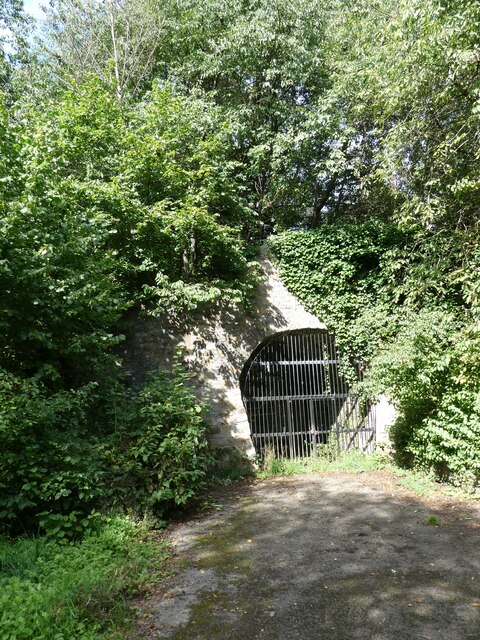
Despite its small size, Incline Top has a rich history. It was once a thriving mining community, with numerous collieries operating in the area. The remnants of these industrial sites can still be seen today, adding a sense of historical significance to the village.
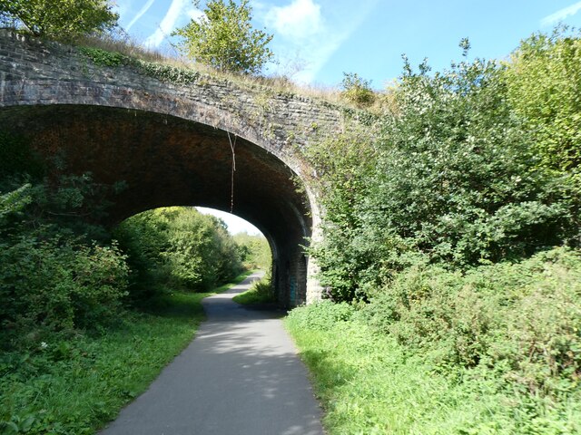
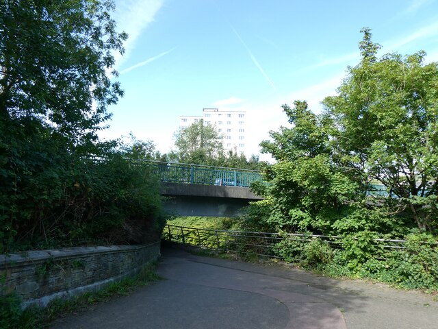
The main attraction in Incline Top is the stunning countryside. The village is a perfect base for outdoor activities such as hiking, walking, and cycling. There are several well-maintained trails that offer breathtaking views of the surrounding countryside, making it a haven for nature lovers and outdoor enthusiasts.
Incline Top is also home to a tight-knit community. The locals are known for their warm hospitality and friendly nature, making visitors feel welcome and at home. The village has a small but vibrant social scene, with local pubs and community events being the hub of activity.
Although Incline Top may be off the beaten path, it offers a unique and authentic Welsh experience. With its beautiful landscapes, rich history, and welcoming community, it is a hidden gem waiting to be explored by those seeking a peaceful getaway.
If you have any feedback on the listing, please let us know in the comments section below.
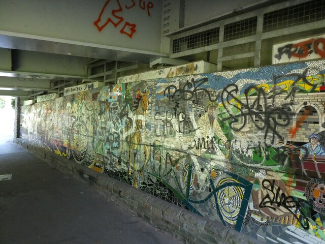
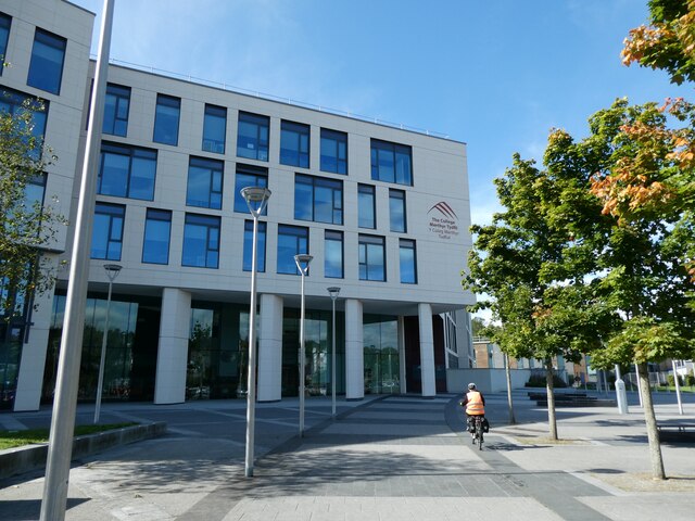
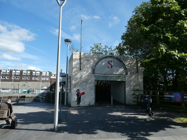
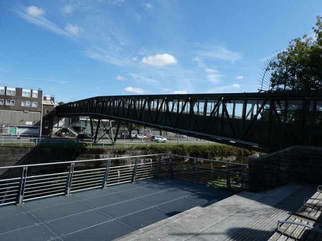
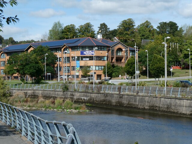
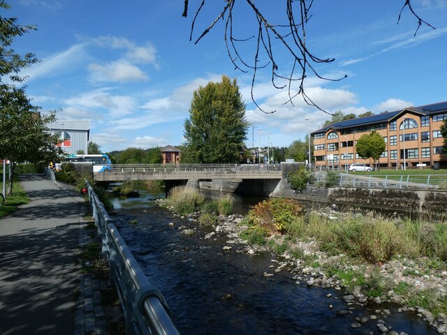
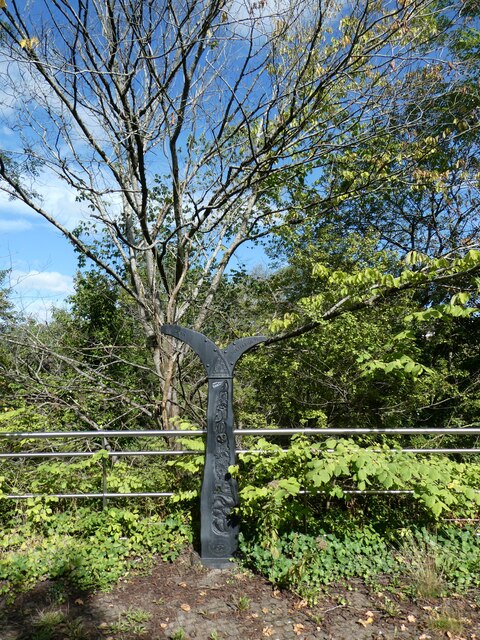
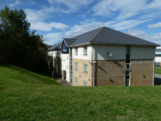
Incline Top Images
Images are sourced within 2km of 51.751737/-3.362241 or Grid Reference SO0606. Thanks to Geograph Open Source API. All images are credited.

Incline Top is located at Grid Ref: SO0606 (Lat: 51.751737, Lng: -3.362241)
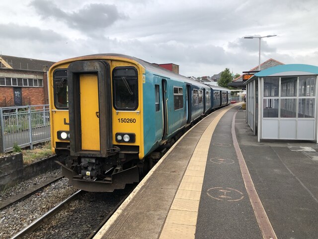
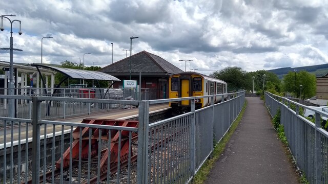
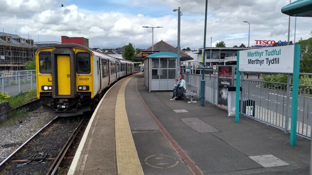
Unitary Authority: Merthyr Tydfil
Police Authority: South Wales
What 3 Words
///quit.drives.recent. Near Merthyr Tydfil
Nearby Locations
Related Wikis
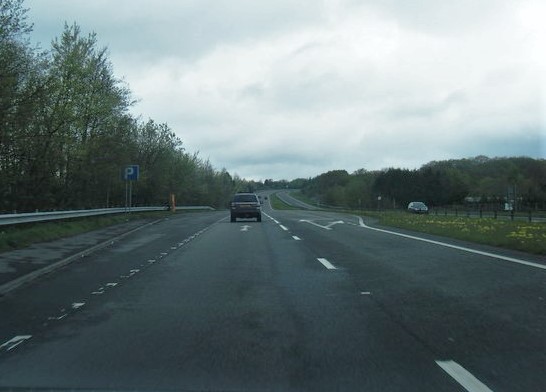
A4060 road
The A4060, also known as the East of Abercynon to East of Dowlais Trunk Road, is a trunk road in Wales. == Route == The road starts at A470 The Pentrebach...
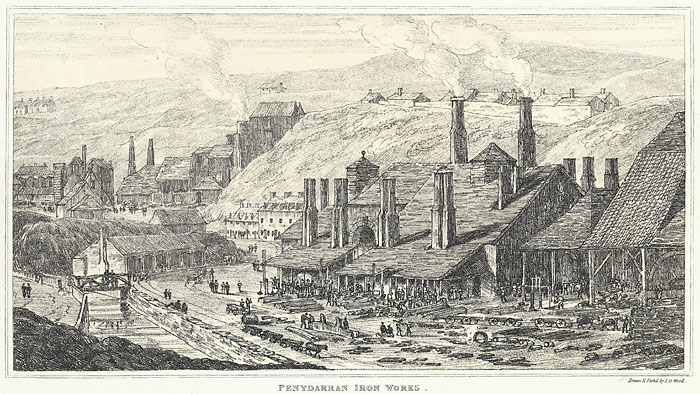
Penydarren Ironworks
Penydarren Ironworks was the fourth of the great ironworks established at Merthyr Tydfil in South Wales. Built in 1784 by the brothers Samuel Homfray,...
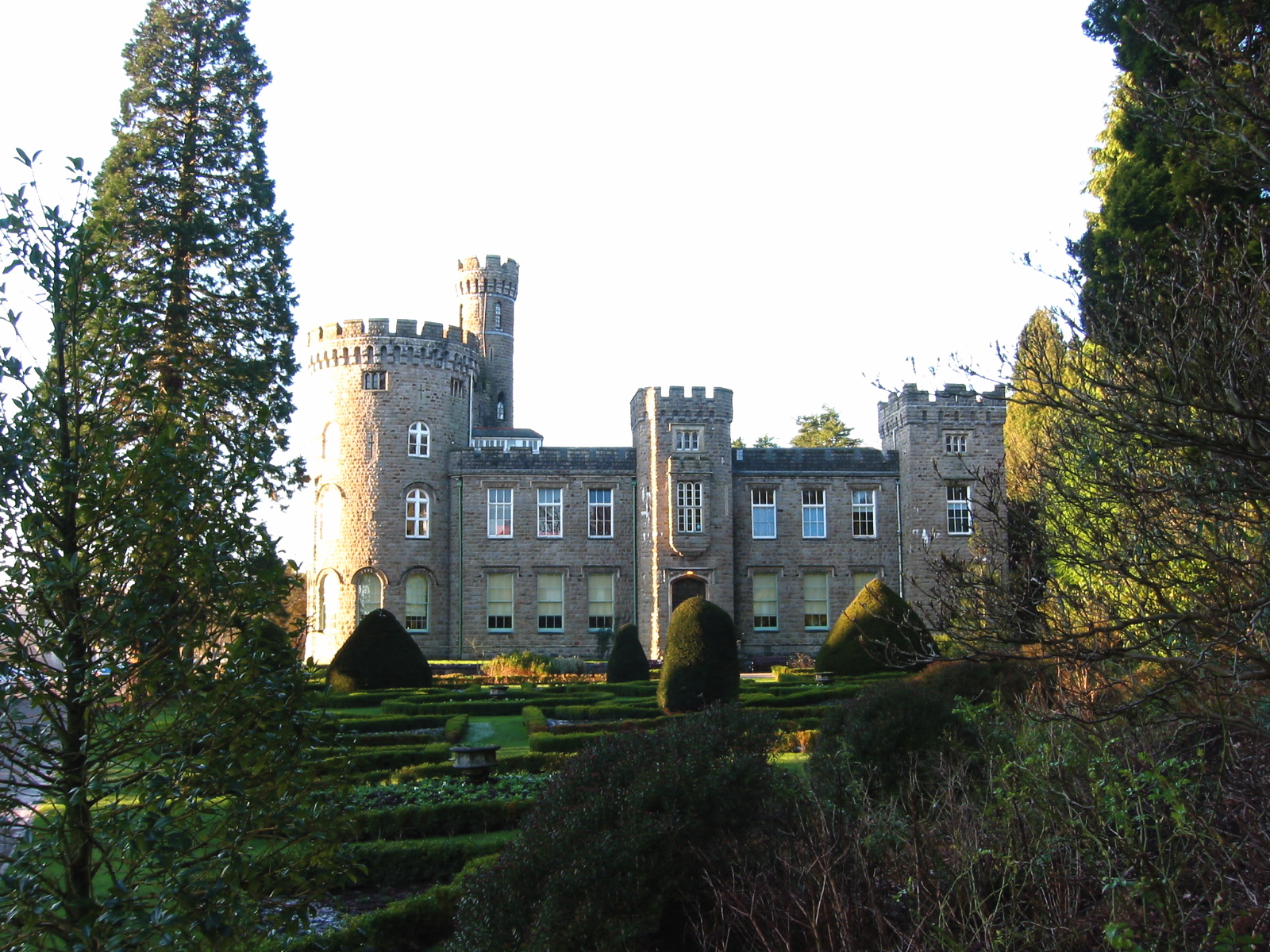
Cyfarthfa High School
Cyfarthfa High School is a comprehensive school, based in Merthyr Tydfil County Borough, Wales, that was established in 1970. Cyfarthfa means "Place of...

Town, Merthyr Tydfil
Town is the name of a local government community and electoral ward in the town of Merthyr Tydfil, in Merthyr Tydfil County Borough, Wales. == Description... ==
Nearby Amenities
Located within 500m of 51.751737,-3.362241Have you been to Incline Top?
Leave your review of Incline Top below (or comments, questions and feedback).