Inchina

Settlement in Cromartyshire

Scotland

Inchina

In Gleann Garbh On the path up the valley of the Inverianvie River.
In Gleann Garbh Credit: Julian Paren

Inchina is a small village located in the county of Cromartyshire, in the northern part of Scotland. Situated on the eastern coast of the Black Isle peninsula, it is surrounded by picturesque landscapes and offers stunning views of the Moray Firth. The village is situated approximately 17 miles northeast of the town of Dingwall and about 24 miles north of the city of Inverness.

Inchina is a tight-knit community with a population of around 200 residents. The village is known for its peaceful and tranquil atmosphere, making it an ideal place for those seeking a quiet and idyllic lifestyle. The local economy is mainly reliant on agriculture, with several farms surrounding the village. Additionally, fishing plays a small role in the village's economy due to its proximity to the Moray Firth.

The village is home to a primary school, providing education for the local children. For secondary education, students typically commute to nearby towns. Inchina is also served by a few local amenities, including a village hall that hosts community events and gatherings. The nearest shops and services can be found in the nearby towns and cities.

Inchina's location offers easy access to various outdoor activities and attractions. The Black Isle peninsula is renowned for its scenic beauty, with opportunities for hiking, cycling, and wildlife spotting. Additionally, the village is a short drive away from the historic town of Cromarty, where visitors can explore its charming streets, visit the museum, or take a boat tour to spot dolphins in the firth.

Overall, Inchina is a peaceful and picturesque village offering a close-knit community, stunning natural surroundings, and easy access to outdoor activities.

If you have any feedback on the listing, please let us know in the comments section below.
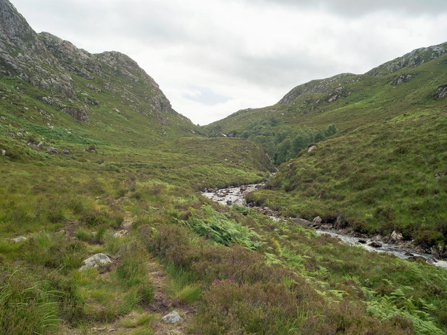
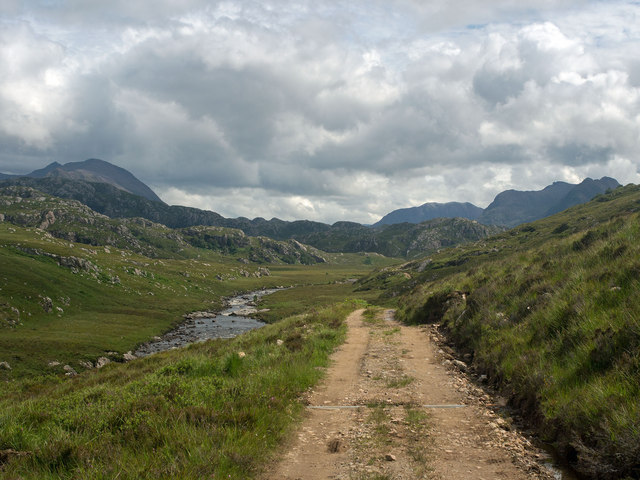
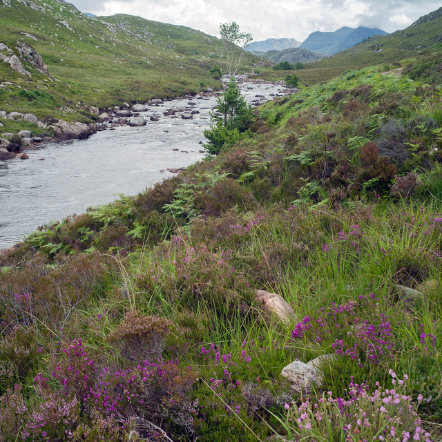
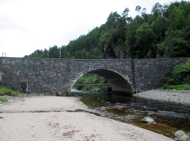
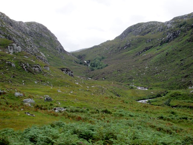
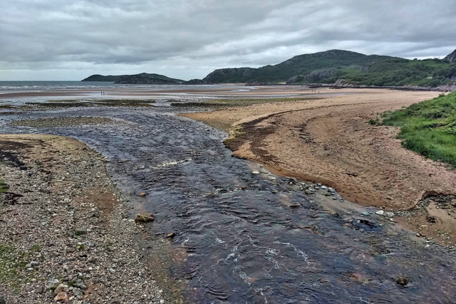
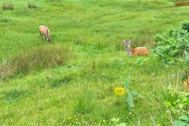
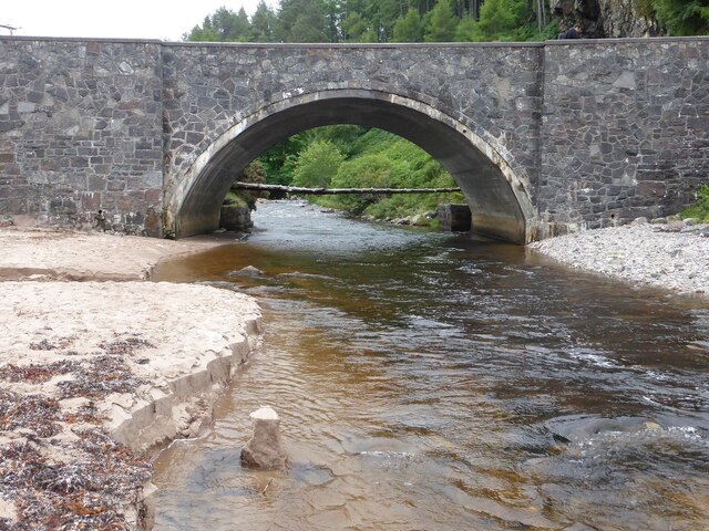
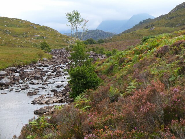
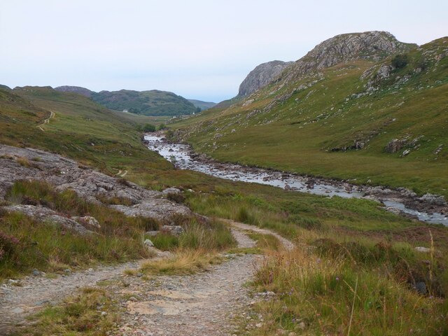
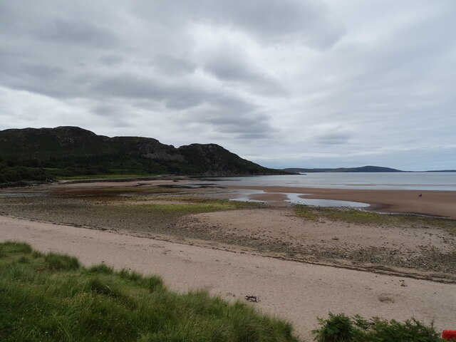
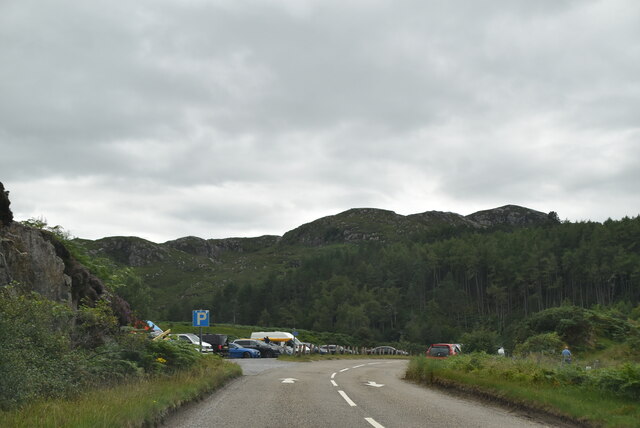
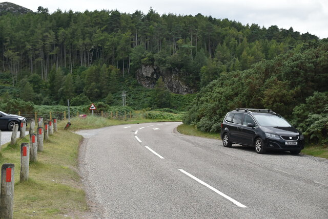
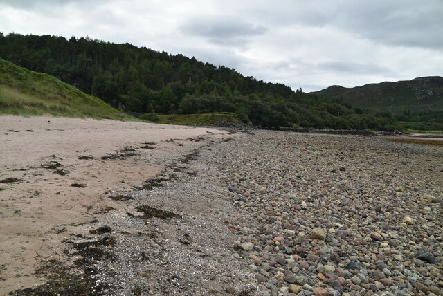
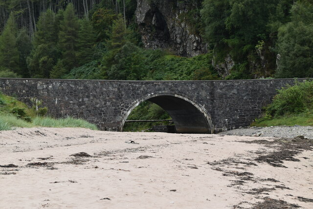
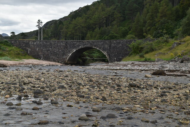
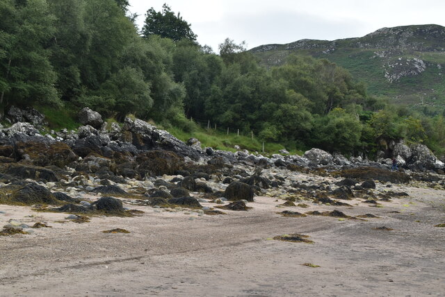
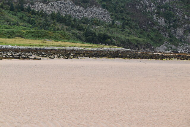
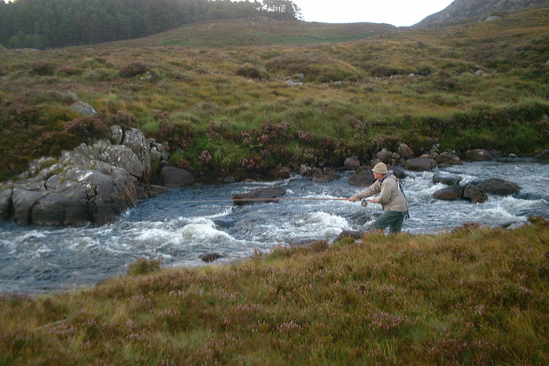
Inchina Images

Images are sourced within 2km of 57.861629/-5.434569 or Grid Reference NG9690. Thanks to Geograph Open Source API. All images are credited.

In Gleann Garbh On the path up the valley of the Inverianvie River.
In Gleann Garbh
On the path up the valley of the Inverianvie River.
Land Rover track by the Gruinard River A good quality track to make speed across this empty sector of the Highlands.
Land Rover track by the Gruinard River
A good quality track to make speed across this empty sector of the Highlands.
The Gruinard River The river that drains Loch na Sealga and enters the sea by Gruinard House.  Heathers and bracken dominate the bank.
The Gruinard River
The river that drains Loch na Sealga and enters the sea by Gruinard House. Heathers and bracken dominate the bank.
River  Inverlanvie  entering  Gruinard  Bay Under the bridge carrying the A832
River Inverlanvie entering Gruinard Bay
Under the bridge carrying the A832
Looking  up  Gleann  Garbh  toward  Eas  Dubh  waterfall The River Inverlanvie runs through into Gruinard Bay
Looking up Gleann Garbh toward Eas Dubh waterfall
The River Inverlanvie runs through into Gruinard Bay
Inverianvie River
Inverianvie River
Grazing deer
Grazing deer
Inverianvie River Bridge Note the sand stack if there is such a thing in the foreground.
Inverianvie River Bridge
Note the sand stack if there is such a thing in the foreground.
The Gruinard River Beinn Dearg Bheag and Mor are ahead, summits in the cloud.
The Gruinard River
Beinn Dearg Bheag and Mor are ahead, summits in the cloud.
Track by the Gruinard River Looking back past Torr an Daimh and Torr Mor towards the A832.
Track by the Gruinard River
Looking back past Torr an Daimh and Torr Mor towards the A832.
Gruinard Bay
Gruinard Bay
A832, Gruinard Bay The North Coast 500 is a 516 mile scenic route around the north coast of Scotland, starting and ending at Inverness Castle. The route is also known as the NC500 and was launched in 2015, linking many features in the north Highlands of Scotland in one touring route.
The route has increased visitor numbers to parts of the north of Scotland, which has brought economic benefits to some areas. The increase in traffic has also led to more instances of bad and dangerous driving, as well as damage to the roads and concerns about the environmental impact. 
Apparently the route was amended in 2022 with detours etc being removed.
Wikipedia: <span class="nowrap"><a title="https://en.wikipedia.org/wiki/North_Coast_500" rel="nofollow ugc noopener" href="https://en.wikipedia.org/wiki/North_Coast_500">Link</a><img style="margin-left:2px;" alt="External link" title="External link - shift click to open in new window" src="https://s1.geograph.org.uk/img/external.png" width="10" height="10"/></span> 
Original route map: <span class="nowrap"><a title="https://en.wikipedia.org/wiki/North_Coast_500#/media/File:North_Coast_500,_Scotland.svg" rel="nofollow ugc noopener" href="https://en.wikipedia.org/wiki/North_Coast_500#/media/File:North_Coast_500,_Scotland.svg">Link</a><img style="margin-left:2px;" alt="External link" title="External link - shift click to open in new window" src="https://s1.geograph.org.uk/img/external.png" width="10" height="10"/></span> 
Latest route map: <span class="nowrap"><a title="https://www.northcoast500.com/explore-the-route/" rel="nofollow ugc noopener" href="https://www.northcoast500.com/explore-the-route/">Link</a><img style="margin-left:2px;" alt="External link" title="External link - shift click to open in new window" src="https://s1.geograph.org.uk/img/external.png" width="10" height="10"/></span>
A832, Gruinard Bay
The North Coast 500 is a 516 mile scenic route around the north coast of Scotland, starting and ending at Inverness Castle. The route is also known as the NC500 and was launched in 2015, linking many features in the north Highlands of Scotland in one touring route. The route has increased visitor numbers to parts of the north of Scotland, which has brought economic benefits to some areas. The increase in traffic has also led to more instances of bad and dangerous driving, as well as damage to the roads and concerns about the environmental impact. Apparently the route was amended in 2022 with detours etc being removed. Wikipedia: LinkExternal link Original route map: LinkExternal link Latest route map: LinkExternal link
A832, Gruinard Bay The A832 runs 127 miles from the Black Isle to Braemore Junction <a href="https://www.geograph.org.uk/photo/7232275">NH2077 : Braemore Junction</a>.
<span class="nowrap"><a title="https://www.sabre-roads.org.uk/wiki/index.php?title=A832" rel="nofollow ugc noopener" href="https://www.sabre-roads.org.uk/wiki/index.php?title=A832">Link</a><img style="margin-left:2px;" alt="External link" title="External link - shift click to open in new window" src="https://s1.geograph.org.uk/img/external.png" width="10" height="10"/></span>
A832, Gruinard Bay
The A832 runs 127 miles from the Black Isle to Braemore Junction NH2077 : Braemore Junction. LinkExternal link
Gruinard Bay
Gruinard Bay
Inverianvie River Bridge
Inverianvie River & Bridge
Gruinard Bay
Gruinard Bay
Gruinard Bay
Gruinard Bay
Show me another place!

Inchina is located at Grid Ref: NG9690 (Lat: 57.861629, Lng: -5.434569)

Unitary Authority: Highland

Police Authority: Highlands and Islands

What 3 Words

///insolvent.adopting.musical. Near Ullapool, Highland

Related Wikis

Gruinard Island

Gruinard Island ( GRIN-yərd;Scottish Gaelic: Eilean Ghruinneard) is a small, oval-shaped Scottish island approximately 2 kilometres (1+1⁄4 miles) long...

Little Gruinard

The Little Gruinard is a river in Wester Ross, Scotland which runs from the Fionn Loch into Gruinard Bay (famed for Gruinard Island). It lies within the...

First Coast, Highland

First Coast is a small settlement in Wester Ross in the North West Highlands of Scotland. It is situated on the south shore of Gruinard Bay and on the...

Badluarach

Badluarach (Scottish Gaelic: Am Bad Luachrach) is a small village on the south shore of Little Loch Broom, in Wester Ross in the Highland council area...

Nearby Amenities

Located within 500m of 57.861629,-5.434569
Power: pole
Lat/Long: 57.8633437/-5.4358738
Power: pole
Lat/Long: 57.8631004/-5.4368666
Power: pole
Lat/Long: 57.8626302/-5.4387744
Power: pole
Lat/Long: 57.8624024/-5.4396388
Power: pole
Lat/Long: 57.8618711/-5.4408438
Power: pole
Lat/Long: 57.8613078/-5.4421072
Power: pole
Lat/Long: 57.8601186/-5.4300759
Power: pole
Lat/Long: 57.8603519/-5.4306692
Power: pole
Lat/Long: 57.8606025/-5.4312919
Power: pole
Lat/Long: 57.8608557/-5.4319439
Power: pole
Lat/Long: 57.8610942/-5.4325145
Power: pole
Lat/Long: 57.8613387/-5.4331355
Power: pole
Lat/Long: 57.8615651/-5.433411
Power: pole
Lat/Long: 57.8619405/-5.4342652
Power: pole
Lat/Long: 57.8623594/-5.4352008
Power: pole
Lat/Long: 57.8627548/-5.4360925
The data included in this document is from www.openstreetmap.org. The data is made available under ODbL.

Have you been to Inchina?

Leave your review of Inchina below (or comments, questions and feedback).