Inchbrae
Settlement in Angus
Scotland
Inchbrae

Inchbrae is a small village located in the county of Angus, Scotland. Situated on the banks of the River South Esk, it is known for its picturesque surroundings and tranquil atmosphere. The village is nestled amidst rolling hills and lush greenery, offering residents and visitors a peaceful retreat from the hustle and bustle of city life.
Inchbrae is home to a close-knit community, with a population of around 500 residents. The village boasts a range of amenities to cater to the needs of its inhabitants, including a local primary school, a post office, and a small convenience store. The village hall serves as a hub for community activities, hosting events and gatherings throughout the year.
Nature enthusiasts will find Inchbrae to be an ideal destination, as it offers numerous opportunities for outdoor recreation. The River South Esk is renowned for its excellent fishing spots, attracting anglers from near and far. The surrounding countryside also provides ample opportunities for hiking, cycling, and birdwatching, with several nature trails and paths to explore.
For history enthusiasts, Inchbrae is within close proximity to several notable landmarks. The nearby Glamis Castle, a stunning medieval fortress, is a popular tourist attraction, known for its grand architecture and rich history. In addition, the village is within easy reach of the Angus Glens, a series of picturesque valleys and mountains, perfect for exploring and experiencing the beauty of the Scottish countryside.
Overall, Inchbrae is a charming village that offers a peaceful and idyllic setting, making it an attractive place to live or visit for those seeking a close connection with nature and a sense of community.
If you have any feedback on the listing, please let us know in the comments section below.
Inchbrae Images
Images are sourced within 2km of 56.506793/-2.6864398 or Grid Reference NO5735. Thanks to Geograph Open Source API. All images are credited.


Inchbrae is located at Grid Ref: NO5735 (Lat: 56.506793, Lng: -2.6864398)
Unitary Authority: Angus
Police Authority: Tayside
What 3 Words
///humidity.fools.submerged. Near Carnoustie, Angus
Related Wikis

Panbride
Panbride is a village and civil parish in the council area of Angus, Scotland. It is situated 0.5 miles (1 km) north-east of Carnoustie and 6 miles (10...
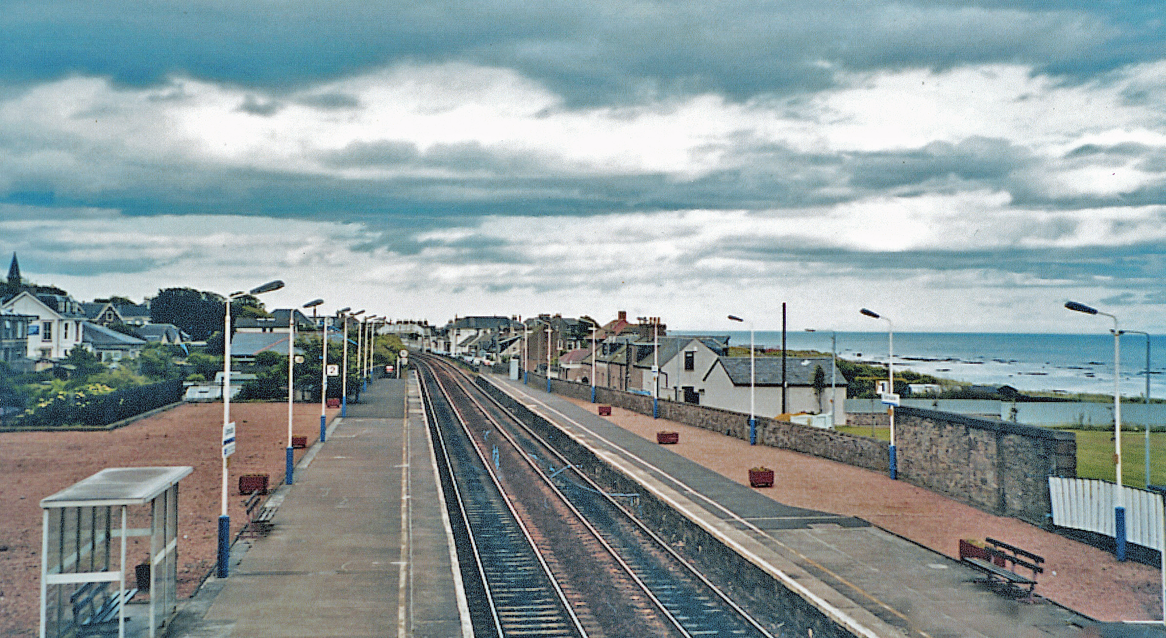
Carnoustie railway station
Carnoustie railway station is a railway station which serves the town of Carnoustie, Angus, Scotland. It is sited 10 miles 33 chains (16.8 km) east of...

Easthaven railway station
Easthaven railway station served the village of East Haven, Angus, Scotland from 1838 to 1967 on the Dundee and Arbroath Railway. == History == The station...

Battle of Barry
The Battle of Barry is a legendary battle in which the Scots, purportedly led by Malcolm II, defeated a Danish invasion force in 1010 AD. Its supposed...
Nearby Amenities
Located within 500m of 56.506793,-2.6864398Have you been to Inchbrae?
Leave your review of Inchbrae below (or comments, questions and feedback).