Craigmill
Settlement in Angus
Scotland
Craigmill

Craigmill is a small village located in the county of Angus, Scotland. Situated in the eastern part of the country, it is nestled amidst picturesque rolling hills and stunning natural landscapes. The village is situated approximately 10 miles southwest of the town of Forfar and 20 miles north of Dundee.
With a population of around 500 residents, Craigmill exudes a tranquil and close-knit community atmosphere. The village primarily consists of residential properties, with a few local businesses and amenities. The architecture in Craigmill is predominantly traditional, with charming stone cottages and houses dotting the landscape.
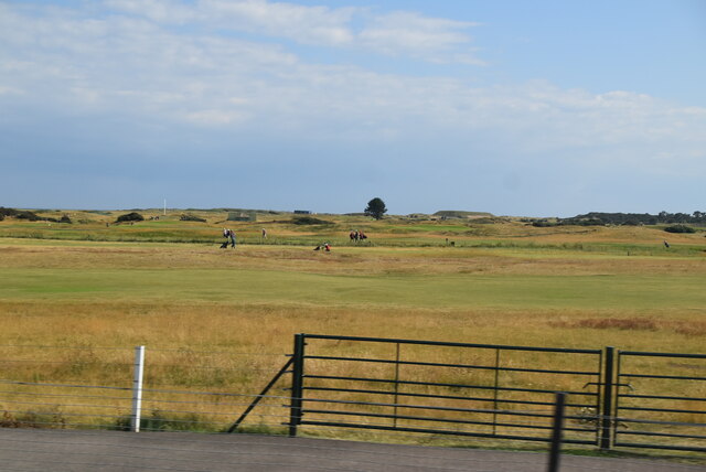
The village benefits from its idyllic rural setting, offering residents and visitors plenty of opportunities for outdoor activities. The surrounding area is ideal for hiking, cycling, and exploring the nearby Angus Glens, which are renowned for their breathtaking beauty and diverse wildlife.
Although Craigmill may be small in size, it is conveniently located near larger towns and cities. For those seeking more extensive amenities, the nearby town of Forfar offers a range of shops, supermarkets, and leisure facilities.
Craigmill is also within easy reach of the bustling city of Dundee, which provides further opportunities for employment, education, and cultural experiences. Additionally, the village benefits from good transportation links, with regular bus services connecting it to neighboring towns and cities.
Overall, Craigmill is a peaceful and picturesque village that offers a tranquil countryside lifestyle, while also providing easy access to the amenities and attractions of larger nearby towns and cities.
If you have any feedback on the listing, please let us know in the comments section below.
Craigmill Images
Images are sourced within 2km of 56.50509/-2.700186 or Grid Reference NO5735. Thanks to Geograph Open Source API. All images are credited.


Craigmill is located at Grid Ref: NO5735 (Lat: 56.50509, Lng: -2.700186)
Unitary Authority: Angus
Police Authority: Tayside
What 3 Words
///palm.cabbages.menu. Near Carnoustie, Angus
Related Wikis
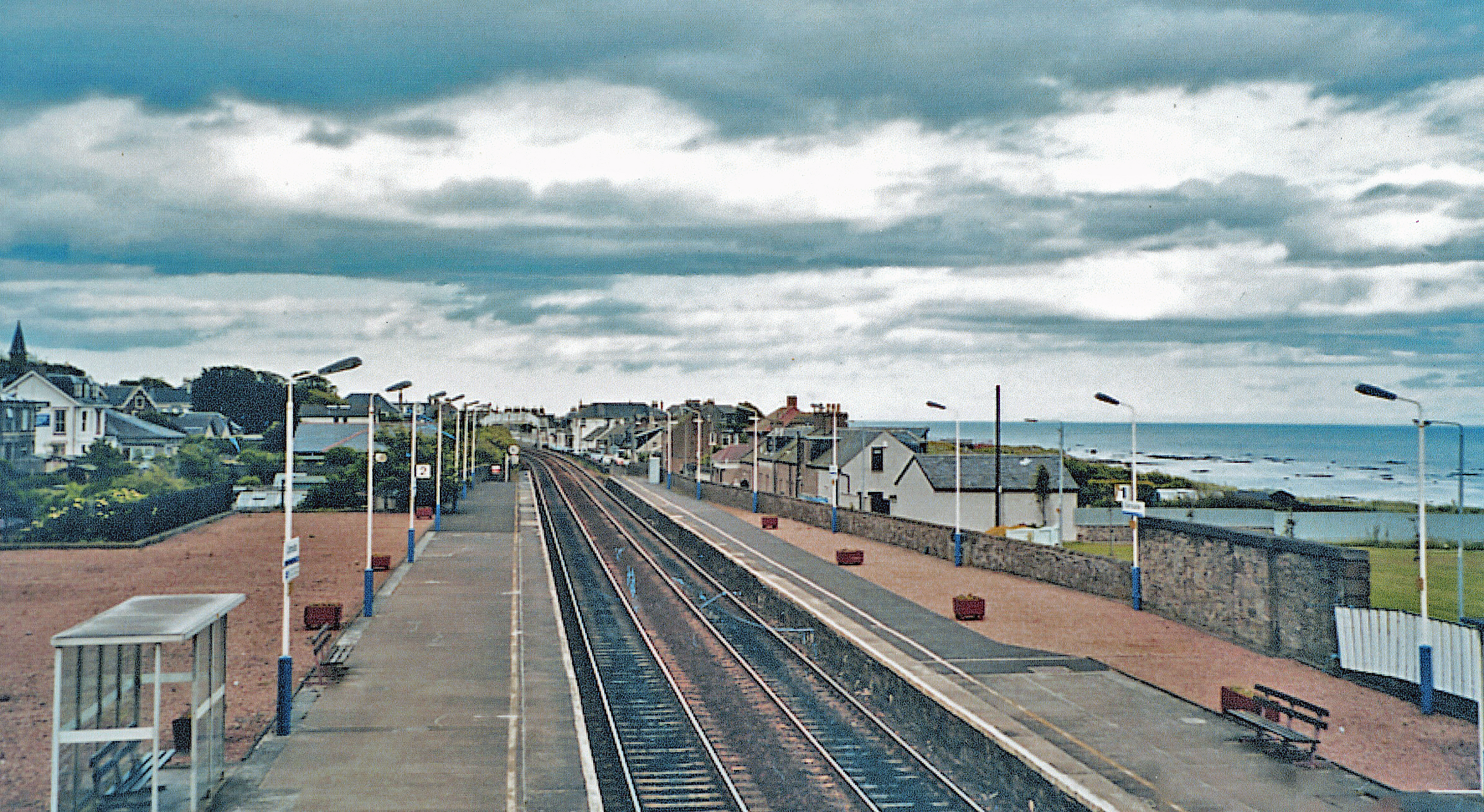
Carnoustie railway station
Carnoustie railway station is a railway station which serves the town of Carnoustie, Angus, Scotland. It is sited 10 miles 33 chains (16.8 km) east of...

Battle of Barry
The Battle of Barry is a legendary battle in which the Scots, purportedly led by Malcolm II, defeated a Danish invasion force in 1010 AD. Its supposed...
Carnoustie
Carnoustie (; Scottish Gaelic: Càrn Ùstaidh) is a town and former police burgh in the council area of Angus, Scotland. It is at the mouth of the Barry...

Panbride
Panbride is a village and civil parish in the council area of Angus, Scotland. It is situated 0.5 miles (1 km) north-east of Carnoustie and 6 miles (10...
Nearby Amenities
Located within 500m of 56.50509,-2.700186Have you been to Craigmill?
Leave your review of Craigmill below (or comments, questions and feedback).