Badinaconair
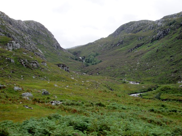
Downs, Moorland in Ross-shire
Scotland
Badinaconair
Badinaconair is a small village located in Ross-shire, a historic county in the Scottish Highlands. Nestled amidst picturesque surroundings, the village is primarily known for its stunning downs and moorland landscapes.
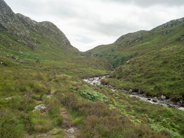
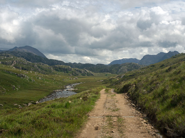
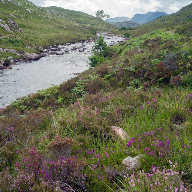
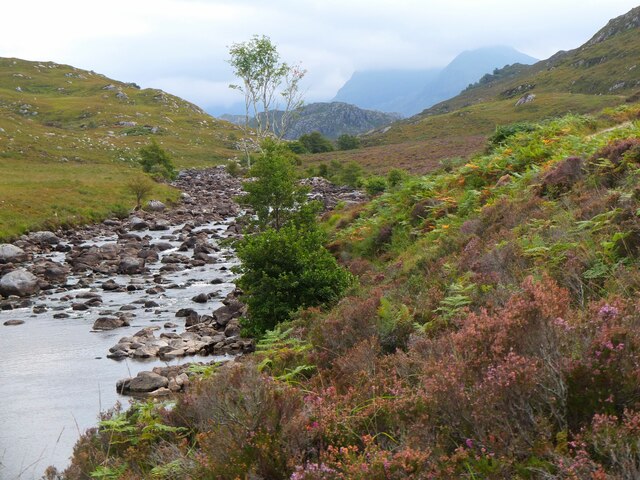
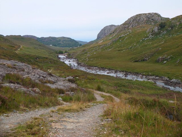
The downs of Badinaconair stretch for miles, offering panoramic views of rolling hills and lush greenery. These downs are home to a variety of flora and fauna, making it a haven for nature enthusiasts and wildlife lovers. Visitors can enjoy leisurely walks or hikes along the well-marked trails, taking in the fresh air and tranquil atmosphere.
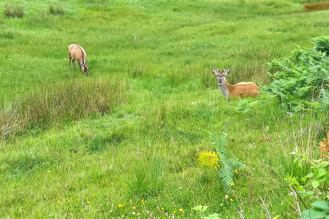
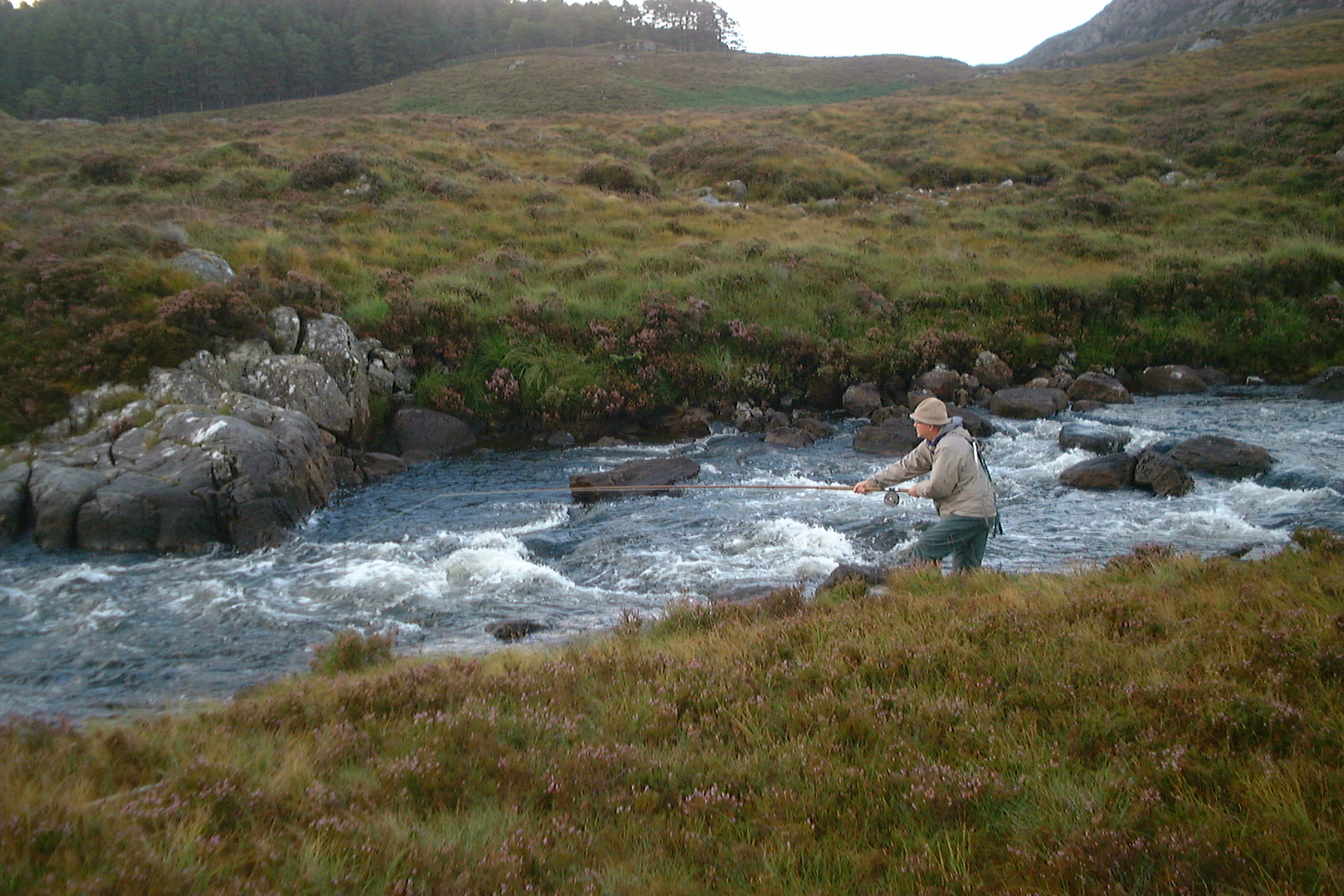
The moorland in Badinaconair is equally captivating, with its vast open spaces and heather-covered terrain. This unique landscape provides a habitat for various bird species, including grouse and peregrine falcons, making it a popular spot for birdwatching. The moorland also boasts numerous small lochs and streams, adding to the area's natural beauty.
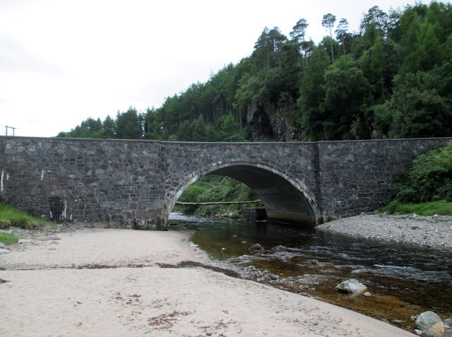
In addition to its natural wonders, Badinaconair has a small community of residents who take pride in preserving the village's charm and tranquility. The village offers limited amenities, with a few local shops and a cozy pub that serves as a gathering place for locals and visitors alike.
For those seeking a peaceful retreat or a chance to reconnect with nature, Badinaconair in Ross-shire is a hidden gem worth exploring. Its downs and moorland provide a serene escape from the bustle of city life, offering an opportunity to immerse oneself in the beauty of the Scottish Highlands.
If you have any feedback on the listing, please let us know in the comments section below.
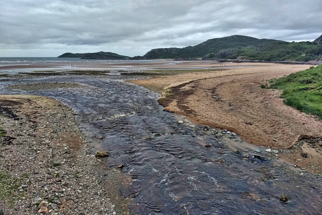
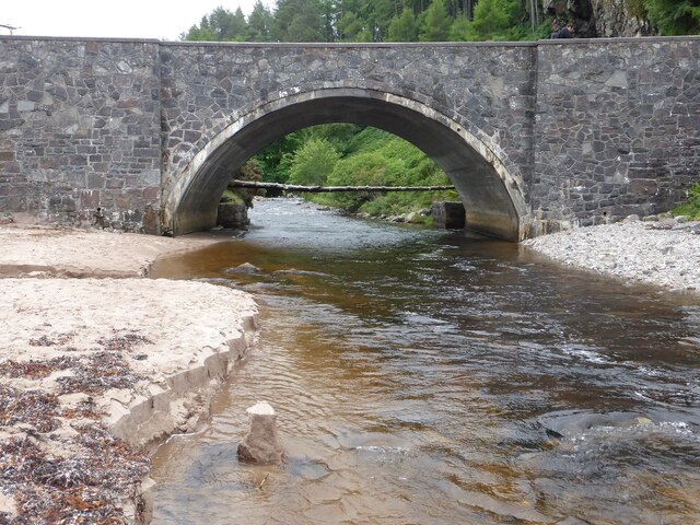
Badinaconair Images
Images are sourced within 2km of 57.855318/-5.4286387 or Grid Reference NG9690. Thanks to Geograph Open Source API. All images are credited.


Badinaconair is located at Grid Ref: NG9690 (Lat: 57.855318, Lng: -5.4286387)
Unitary Authority: Highland
Police Authority: Highlands and Islands
What 3 Words
///summer.remarking.stretch. Near Ullapool, Highland
Nearby Locations
Related Wikis
Little Gruinard
The Little Gruinard is a river in Wester Ross, Scotland which runs from the Fionn Loch into Gruinard Bay (famed for Gruinard Island). It lies within the...

First Coast, Highland
First Coast is a small settlement in Wester Ross in the North West Highlands of Scotland. It is situated on the south shore of Gruinard Bay and on the...

Badluarach
Badluarach (Scottish Gaelic: Am Bad Luachrach) is a small village on the south shore of Little Loch Broom, in Wester Ross in the Highland council area...

Gruinard Island
Gruinard Island ( GRIN-yərd;Scottish Gaelic: Eilean Ghruinneard) is a small, oval-shaped Scottish island approximately 2 kilometres (1+1⁄4 miles) long...

Gruinard Bay
Gruinard Bay is a large remote coastal embayment, located 12 miles north of Poolewe, in northwestern Ross and Cromarty, and is in the former parish of...

Badcaul
Badcaul (Scottish Gaelic: Bada Call) is a village in Highland, Scotland, on the southern shore of Little Loch Broom and is a village in the Highland council...

Sand, Highland
Sand (Scottish Gaelic: Sannda) is a small hamlet, located on the southern shore of Gruinard Bay, and lying to the west of the village of Laide in Ross...

Laide
Laide (Scottish Gaelic: An Leathad) is a small village in the northwest of the Highlands of Scotland. It is situated on the southern shore of Gruinard...
Nearby Amenities
Located within 500m of 57.855318,-5.4286387Have you been to Badinaconair?
Leave your review of Badinaconair below (or comments, questions and feedback).