Hoton Hills

Settlement in Leicestershire Charnwood

England

Hoton Hills

Frozen floods – 1978 Flood meadows along the River Soar near Loughborough. A South Notts bus heads towards the Great Central Railway viaduct on its way to Nottingham.
Frozen floods – 1978 Credit: Alan Murray-Rust

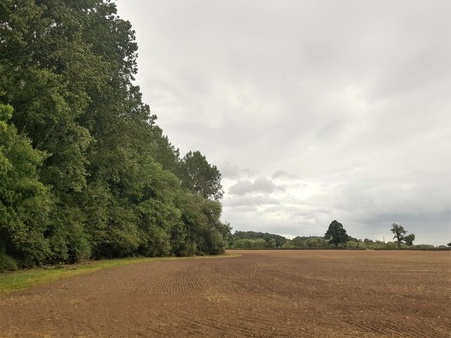
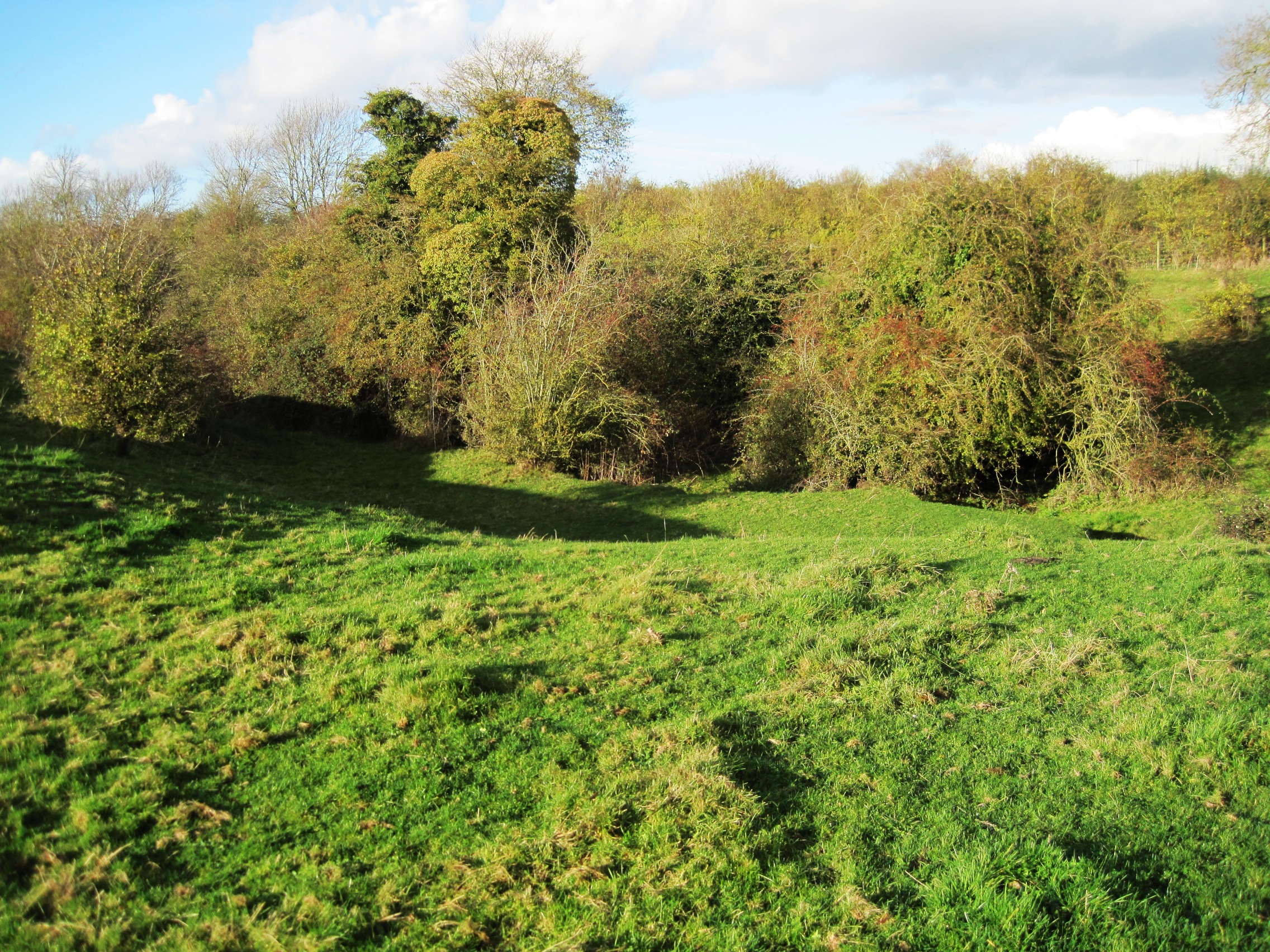
Hoton Hills is a picturesque village located in the county of Leicestershire, England. Situated in the Charnwood Forest, it is surrounded by rolling hills, lush green fields, and charming countryside. The village is nestled approximately ten miles north of Loughborough and twelve miles south of Nottingham, making it an ideal location for those seeking a peaceful rural setting while still being within easy reach of larger towns.

Hoton Hills has a rich history that dates back to the medieval era, and evidence of this can be found in the village's historic buildings and architecture. The village church, St. Andrew's, is a notable landmark and dates back to the 12th century, featuring stunning stained glass windows and intricate stonework.

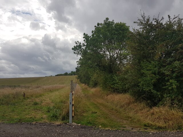
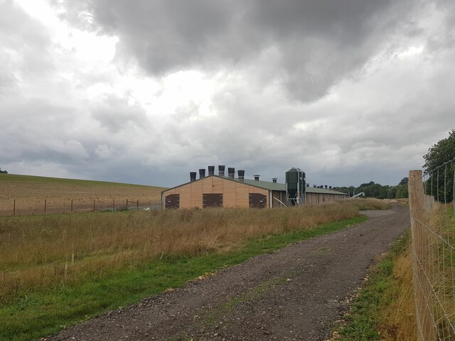
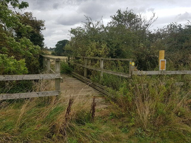
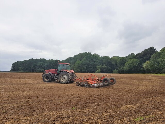
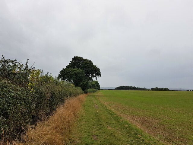
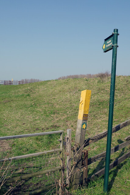
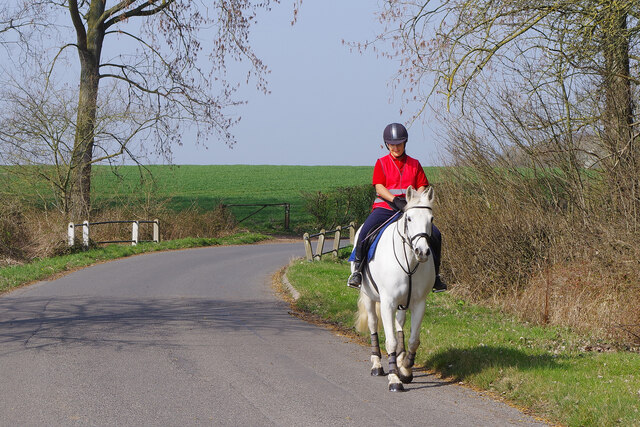
Despite its small size, Hoton Hills boasts a friendly and tight-knit community. The village is home to a number of amenities, including a primary school, a village hall, and a local pub. The surrounding countryside offers ample opportunities for outdoor activities such as hiking, cycling, and horse riding, with many scenic trails and bridleways to explore.

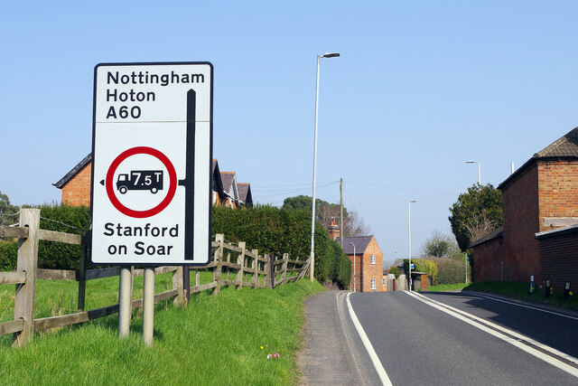
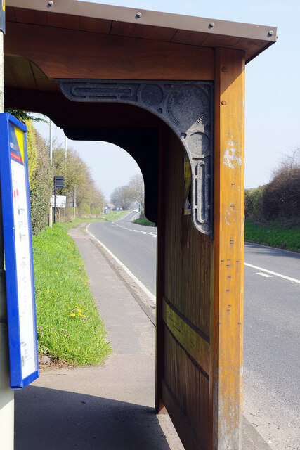
Hoton Hills is well-connected to the wider region, with good transport links to nearby towns and cities. The village is easily accessible by road, with the A60 running nearby, and there are regular bus services that connect to Loughborough and Nottingham. The nearest train station is Loughborough, which provides regular services to Leicester, Nottingham, and beyond.

For those seeking a peaceful and idyllic village setting with a strong sense of community, Hoton Hills in Leicestershire offers a delightful place to call home.

If you have any feedback on the listing, please let us know in the comments section below.
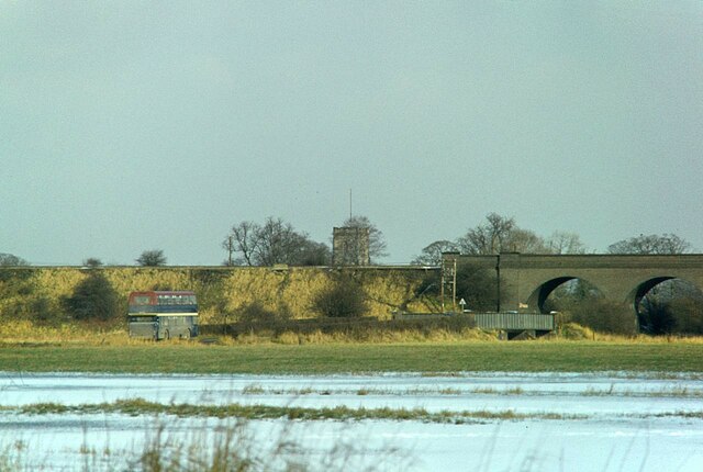
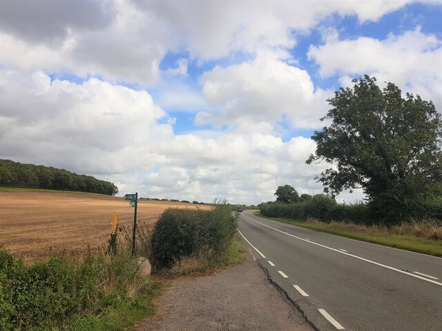
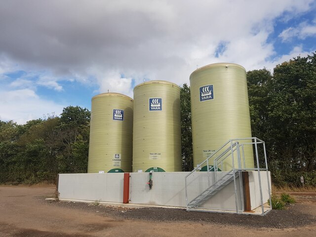
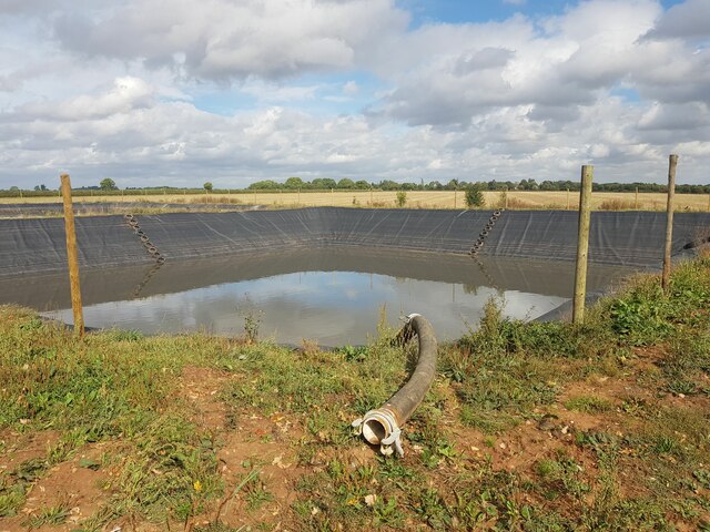
Hoton Hills Images

Images are sourced within 2km of 52.795107/-1.171086 or Grid Reference SK5522. Thanks to Geograph Open Source API. All images are credited.

Frozen floods – 1978 Flood meadows along the River Soar near Loughborough. A South Notts bus heads towards the Great Central Railway viaduct on its way to Nottingham.
Frozen floods – 1978
Flood meadows along the River Soar near Loughborough. A South Notts bus heads towards the Great Central Railway viaduct on its way to Nottingham.
Footpath off Loughborough Road Going past Mere Hill Spinney on the left
Footpath off Loughborough Road
Going past Mere Hill Spinney on the left
Liquid fertilizer tanks and bund "Chafer 35N + 7SO3". Mainly ammonium nitrate with urea and sulfate. I don't know if bund protection against leakage is a statutory requirement. This one looks well made.
Liquid fertilizer tanks and bund
"Chafer 35N + 7SO3". Mainly ammonium nitrate with urea and sulfate. I don't know if bund protection against leakage is a statutory requirement. This one looks well made.
'Prestwold Lagoons' slurry pit One of two pits operated by Whites Recycling
'Prestwold Lagoons' slurry pit
One of two pits operated by Whites Recycling
The Packe Arms, Hoton Formerly called The Marquis of Granby, "Our current name comes from The Packes, a prestigious Victorian family of land-owners from Leicester. Charles James Packe restored The Packe Arms in [1831]" <span class="nowrap"><a title="https://www.vintageinn.co.uk/restaurants/midlands/thepackearmshoton" rel="nofollow ugc noopener" href="https://www.vintageinn.co.uk/restaurants/midlands/thepackearmshoton">Link</a><img style="margin-left:2px;" alt="External link" title="External link - shift click to open in new window" src="https://s1.geograph.org.uk/img/external.png" width="10" height="10"/></span>
The Packe Arms, Hoton
Formerly called The Marquis of Granby, "Our current name comes from The Packes, a prestigious Victorian family of land-owners from Leicester. Charles James Packe restored The Packe Arms in [1831]" LinkExternal link
The Cross Britain Way climbing onto the Hoton Hills The Cross Britain Way is a 279 mile, east-west trail across England and Wales, created to help raise money for Macmillan Cancer Support. Starting at Boston (where the original Macmillan Way starts), it crosses the Fens, the Vale of Belvoir, the Leicestershire/Nottinghamshire Wolds, the National Forest, Cannock Chase, East Shropshire along the Iron Bridge Gorge, the Shropshire Hills, the hills of mid Wales, the Berwyn Mountains, and Snowdonia National Park, to its end at Barmouth. <span class="nowrap"><a title="https://ldwa.org.uk/ldp/members/show_path.php?path_name=Macmillan+Way+-+Cross+Britain+Way" rel="nofollow ugc noopener" href="https://ldwa.org.uk/ldp/members/show_path.php?path_name=Macmillan+Way+-+Cross+Britain+Way">Link</a><img style="margin-left:2px;" alt="External link" title="External link - shift click to open in new window" src="https://s1.geograph.org.uk/img/external.png" width="10" height="10"/></span>
The Cross Britain Way climbing onto the Hoton Hills
The Cross Britain Way is a 279 mile, east-west trail across England and Wales, created to help raise money for Macmillan Cancer Support. Starting at Boston (where the original Macmillan Way starts), it crosses the Fens, the Vale of Belvoir, the Leicestershire/Nottinghamshire Wolds, the National Forest, Cannock Chase, East Shropshire along the Iron Bridge Gorge, the Shropshire Hills, the hills of mid Wales, the Berwyn Mountains, and Snowdonia National Park, to its end at Barmouth. LinkExternal link
Poultry shed Seems to have a large 'free range' area.
Poultry shed
Seems to have a large 'free range' area.
Footbridge over King's Brook Taking a bridleway over the county boundary into Nottinghamshire
Footbridge over King's Brook
Taking a bridleway over the county boundary into Nottinghamshire
Fallen ash by King's Brook
Harrowing on the flank of the Hoton Hills Seems to be doing a second pass
Harrowing on the flank of the Hoton Hills
Seems to be doing a second pass
On the edge of Black-a-moors Spinney 'Blackmoor Spinney' on the 1884 OS map <span class="nowrap"><a title="https://maps.nls.uk/view/114591981" rel="nofollow ugc noopener" href="https://maps.nls.uk/view/114591981">Link</a><img style="margin-left:2px;" alt="External link" title="External link - shift click to open in new window" src="https://s1.geograph.org.uk/img/external.png" width="10" height="10"/></span>
On the edge of Black-a-moors Spinney
'Blackmoor Spinney' on the 1884 OS map LinkExternal link
The Cross Britain Way on Moat Hill The Cross Britain Way is a 279 mile, east-west trail across England and Wales, created to help raise money for Macmillan Cancer Support. Starting at Boston (where the original Macmillan Way starts), it crosses the Fens, the Vale of Belvoir, the Leicestershire/Nottinghamshire Wolds, the National Forest, Cannock Chase, East Shropshire along the Iron Bridge Gorge, the Shropshire Hills, the hills of mid Wales, the Berwyn Mountains, and Snowdonia National Park, to its end at Barmouth. <span class="nowrap"><a title="https://ldwa.org.uk/ldp/members/show_path.php?path_name=Macmillan+Way+-+Cross+Britain+Way" rel="nofollow ugc noopener" href="https://ldwa.org.uk/ldp/members/show_path.php?path_name=Macmillan+Way+-+Cross+Britain+Way">Link</a><img style="margin-left:2px;" alt="External link" title="External link - shift click to open in new window" src="https://s1.geograph.org.uk/img/external.png" width="10" height="10"/></span>
The Cross Britain Way on Moat Hill
The Cross Britain Way is a 279 mile, east-west trail across England and Wales, created to help raise money for Macmillan Cancer Support. Starting at Boston (where the original Macmillan Way starts), it crosses the Fens, the Vale of Belvoir, the Leicestershire/Nottinghamshire Wolds, the National Forest, Cannock Chase, East Shropshire along the Iron Bridge Gorge, the Shropshire Hills, the hills of mid Wales, the Berwyn Mountains, and Snowdonia National Park, to its end at Barmouth. LinkExternal link
Cotes Bridge Cotes Bridge carries the A60 over the River Soar. The structure dates from the 18th century, although some fragments are of medieval date and the parapet was rebuilt in the 20th century. It is grade II listed. The bridge was the location of a minor battle in 1644 during the Civil War when Royalist forces were trying to reach Newark to relieve the garrison there. They were held up by the Parliamentary army here and initially forced back into Loughborough, but after word was received that the Royalist garrison at Ashby castle had been reinforced, the Parliamentarians withdrew allowing the Royalists to continue on to Newark.
Cotes Bridge
Cotes Bridge carries the A60 over the River Soar. The structure dates from the 18th century, although some fragments are of medieval date and the parapet was rebuilt in the 20th century. It is grade II listed. The bridge was the location of a minor battle in 1644 during the Civil War when Royalist forces were trying to reach Newark to relieve the garrison there. They were held up by the Parliamentary army here and initially forced back into Loughborough, but after word was received that the Royalist garrison at Ashby castle had been reinforced, the Parliamentarians withdrew allowing the Royalists to continue on to Newark.
Footpath to Stanford Lane The footpath cuts a corner off between the A60 and Stanford Lane in Cotes village.
Footpath to Stanford Lane
The footpath cuts a corner off between the A60 and Stanford Lane in Cotes village.
A60 through Cotes Although the A60 is a long distance road, running in full from Loughborough to Doncaster, the southernmost section winds its way through a succession of villages in Leicestershire and Nottinghamshire. The first of these is Cotes, a very small place that most motorists probably barely notice. It's a pleasant enough drive if the traffic isn't too heavy.
A60 through Cotes
Although the A60 is a long distance road, running in full from Loughborough to Doncaster, the southernmost section winds its way through a succession of villages in Leicestershire and Nottinghamshire. The first of these is Cotes, a very small place that most motorists probably barely notice. It's a pleasant enough drive if the traffic isn't too heavy.
Parish notice case at Cotes It is a common arrangement for notices to be displayed in cases such as this one for Burton on the Wolds, Cotes and Prestwold Parish Council. As well as the council meeting agenda there is a variety of miscellaneous items posted including an advertisement for Mr Muck's Garden Supplies Ltd and Happy Waggs canine services.
Parish notice case at Cotes
It is a common arrangement for notices to be displayed in cases such as this one for Burton on the Wolds, Cotes and Prestwold Parish Council. As well as the council meeting agenda there is a variety of miscellaneous items posted including an advertisement for Mr Muck's Garden Supplies Ltd and Happy Waggs canine services.
Riding to Cotes This rather splendid horse and its lady rider were proceeding slowly along Stanford Lane on a beautiful spring day. Life at a nice gentle pace!
Riding to Cotes
This rather splendid horse and its lady rider were proceeding slowly along Stanford Lane on a beautiful spring day. Life at a nice gentle pace!
Bus shelter at Cotes Kinchbus service 9 passes through Cotes on its way from Loughborough to Nottingham via Bunny. For what is essentially a rural service the frequency is pretty good - hourly for much of the day and there is a Sunday service. What's more, the timetable case displays up-to-date information in an easy to read format - this is how it should be! The basically simple bus shelter has rather interesting brackets.
Bus shelter at Cotes
Kinchbus service 9 passes through Cotes on its way from Loughborough to Nottingham via Bunny. For what is essentially a rural service the frequency is pretty good - hourly for much of the day and there is a Sunday service. What's more, the timetable case displays up-to-date information in an easy to read format - this is how it should be! The basically simple bus shelter has rather interesting brackets.
Show me another place!

Hoton Hills is located at Grid Ref: SK5522 (Lat: 52.795107, Lng: -1.171086)

Administrative County: Leicestershire

District: Charnwood

Police Authority: Leicestershire

What 3 Words

///coached.hinted.estimated. Near Burton on the Wolds, Leicestershire

Related Wikis

Hoton

Hoton is a village and civil parish in the Charnwood district of Leicestershire, England, on the A60 north-east of Loughborough, just south of the border...

Cotes, Leicestershire

Cotes is a hamlet and very small civil parish near the town of Loughborough in Leicestershire, England. Cotes has a population of about 50. At the 2011...

Wymeswold Meadows

Wymeswold Meadows is a 4.5-hectare (11-acre) nature reserve east of Wymeswold in Leicestershire. It is owned and managed by the Leicestershire and Rutland...

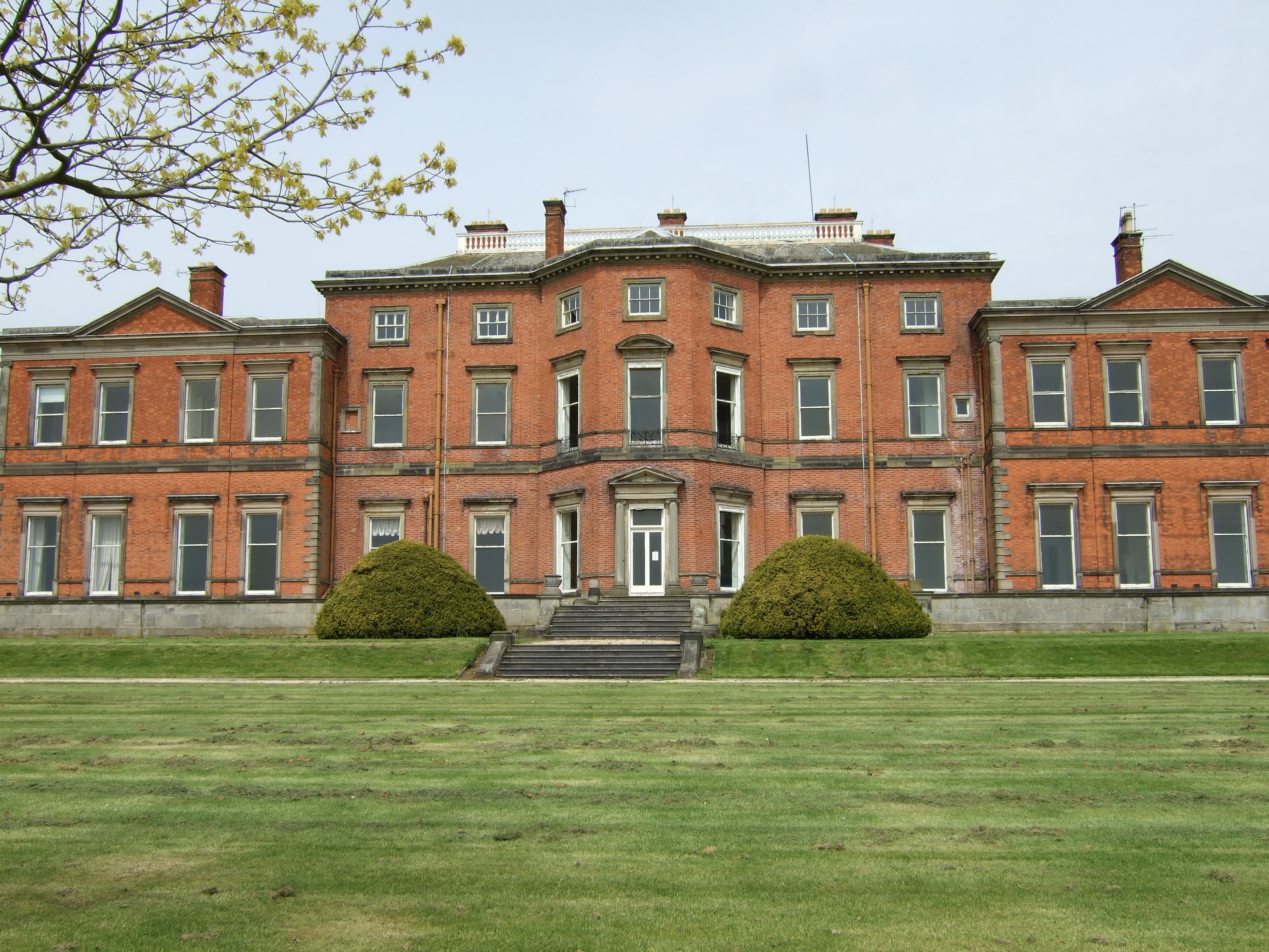
Stanford Hall, Nottinghamshire

Stanford Hall is a grade II* listed 18th-century English country house in Nottinghamshire, England, in Stanford on Soar just north of Loughborough. It...

Stanford on Soar

Stanford on Soar, known locally as Stanford, is a village and civil parish in the Rushcliffe district of Nottinghamshire, England near the River Soar....

Prestwold

Prestwold is a hamlet and civil parish in the Charnwood district of Leicestershire, England. The parish has a population of around 60. The population...

Church of St John the Baptist, Stanford on Soar

The Church of St. John the Baptist, Stanford on Soar is a parish church in the Church of England in Stanford on Soar, Nottinghamshire. The church is Grade...

Cotes Grassland

Cotes Grassland is a 3.3-hectare (8.2-acre) biological Site of Special Scientific Interest in Cotes in Leicestershire.This meadow on the bank of the River...

Have you been to Hoton Hills?

Leave your review of Hoton Hills below (or comments, questions and feedback).