Black-a-moors Spinney

Wood, Forest in Leicestershire Charnwood

England

Black-a-moors Spinney

Liquid fertilizer tanks and bund "Chafer 35N + 7SO3". Mainly ammonium nitrate with urea and sulfate. I don't know if bund protection against leakage is a statutory requirement. This one looks well made.
Liquid fertilizer tanks and bund Credit: Tim Heaton

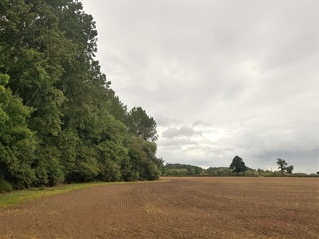
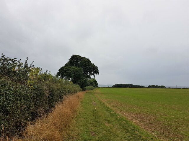
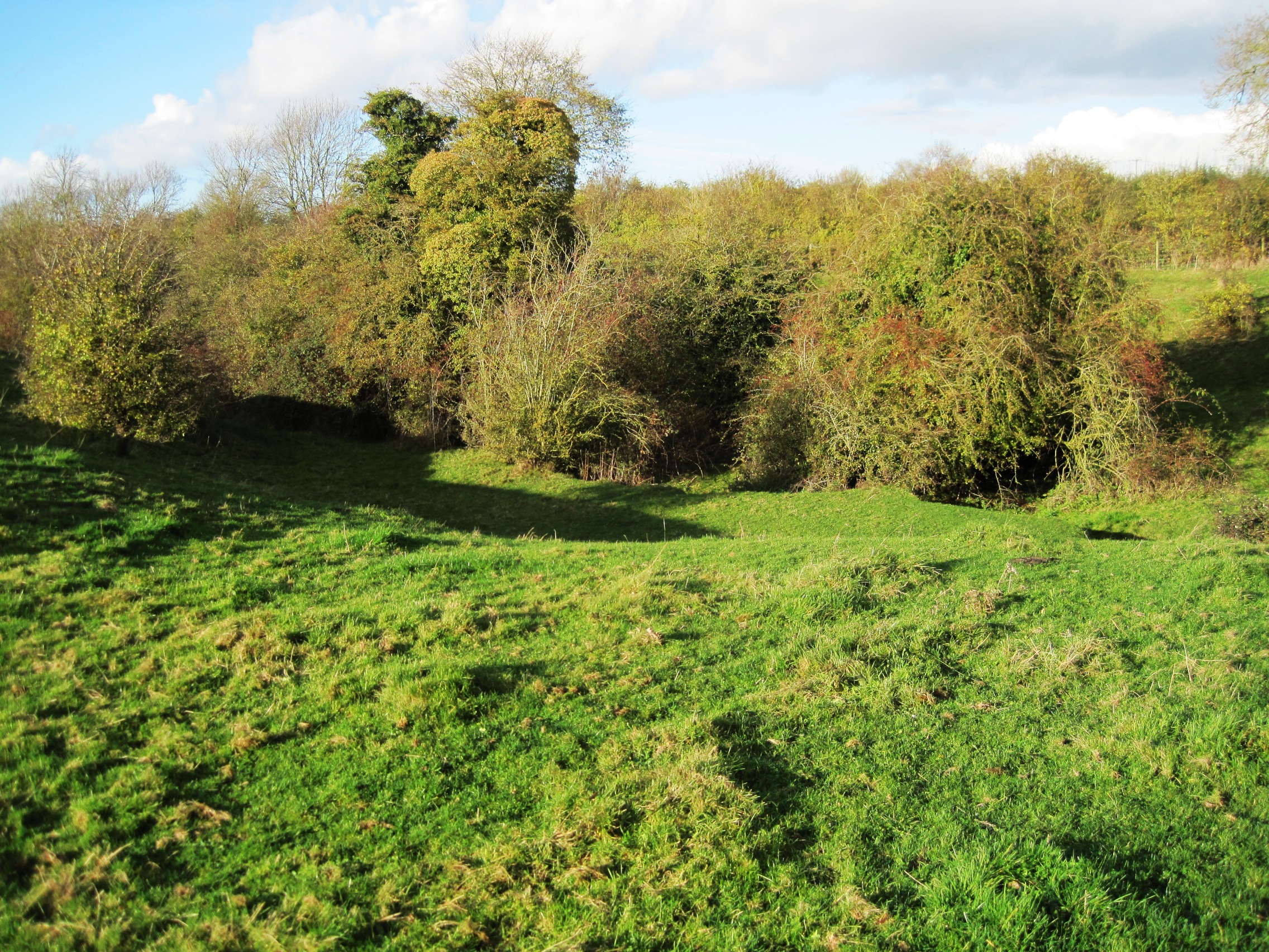
Black-a-moors Spinney is a woodland area located in Leicestershire, England. Covering an approximate area of ??30 acres, it is situated near the village of Woodhouse Eaves, within the picturesque Charnwood Forest. The spinney is a popular destination for nature enthusiasts, hikers, and local residents seeking a tranquil escape.

The woodland is characterized by a diverse range of indigenous trees, including oak, birch, beech, and ash, which create a dense and verdant canopy. This contributes to the spinney's reputation as a haven for wildlife, attracting a variety of bird species such as woodpeckers, owls, and songbirds. Additionally, the woodland floor is adorned with an array of wildflowers and plants, providing a habitat for butterflies and other insects.

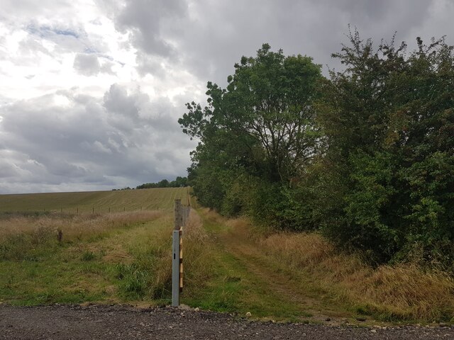
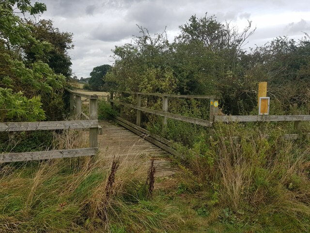
Several footpaths wind their way through Black-a-moors Spinney, allowing visitors to explore and enjoy the natural beauty of the area. These paths are well-maintained and signposted, making it easy for visitors to navigate and discover the woodland's hidden gems. The spinney also offers breathtaking views of the surrounding countryside, with glimpses of rolling hills and distant villages.

In addition to its natural attractions, Black-a-moors Spinney holds historical significance as well. The woodland was once part of the ancient Charnwood Forest, which was extensively used for timber and hunting during medieval times. Today, remnants of this history can be found in the form of old boundary walls and earthworks scattered throughout the spinney.

Overall, Black-a-moors Spinney is a cherished natural treasure in Leicestershire, providing a serene and enchanting environment for visitors to immerse themselves in the beauty of nature.

If you have any feedback on the listing, please let us know in the comments section below.

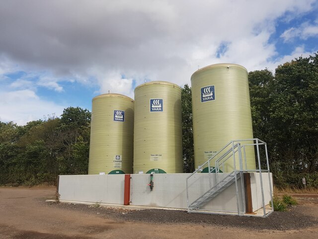
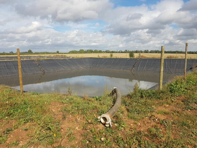
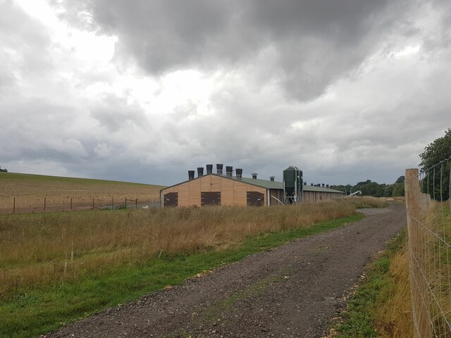
Black-a-moors Spinney Images

Images are sourced within 2km of 52.800898/-1.1777396 or Grid Reference SK5522. Thanks to Geograph Open Source API. All images are credited.
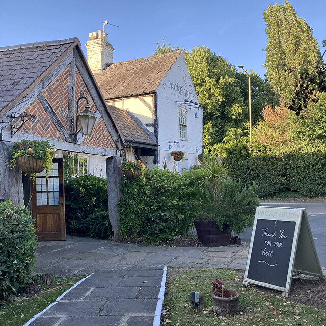
Liquid fertilizer tanks and bund "Chafer 35N + 7SO3". Mainly ammonium nitrate with urea and sulfate. I don't know if bund protection against leakage is a statutory requirement. This one looks well made.
Liquid fertilizer tanks and bund
"Chafer 35N + 7SO3". Mainly ammonium nitrate with urea and sulfate. I don't know if bund protection against leakage is a statutory requirement. This one looks well made.
'Prestwold Lagoons' slurry pit One of two pits operated by Whites Recycling
'Prestwold Lagoons' slurry pit
One of two pits operated by Whites Recycling
The Packe Arms, Hoton Formerly called The Marquis of Granby, "Our current name comes from The Packes, a prestigious Victorian family of land-owners from Leicester. Charles James Packe restored The Packe Arms in [1831]" <span class="nowrap"><a title="https://www.vintageinn.co.uk/restaurants/midlands/thepackearmshoton" rel="nofollow ugc noopener" href="https://www.vintageinn.co.uk/restaurants/midlands/thepackearmshoton">Link</a><img style="margin-left:2px;" alt="External link" title="External link - shift click to open in new window" src="https://s1.geograph.org.uk/img/external.png" width="10" height="10"/></span>
The Packe Arms, Hoton
Formerly called The Marquis of Granby, "Our current name comes from The Packes, a prestigious Victorian family of land-owners from Leicester. Charles James Packe restored The Packe Arms in [1831]" LinkExternal link
The Cross Britain Way climbing onto the Hoton Hills The Cross Britain Way is a 279 mile, east-west trail across England and Wales, created to help raise money for Macmillan Cancer Support. Starting at Boston (where the original Macmillan Way starts), it crosses the Fens, the Vale of Belvoir, the Leicestershire/Nottinghamshire Wolds, the National Forest, Cannock Chase, East Shropshire along the Iron Bridge Gorge, the Shropshire Hills, the hills of mid Wales, the Berwyn Mountains, and Snowdonia National Park, to its end at Barmouth. <span class="nowrap"><a title="https://ldwa.org.uk/ldp/members/show_path.php?path_name=Macmillan+Way+-+Cross+Britain+Way" rel="nofollow ugc noopener" href="https://ldwa.org.uk/ldp/members/show_path.php?path_name=Macmillan+Way+-+Cross+Britain+Way">Link</a><img style="margin-left:2px;" alt="External link" title="External link - shift click to open in new window" src="https://s1.geograph.org.uk/img/external.png" width="10" height="10"/></span>
The Cross Britain Way climbing onto the Hoton Hills
The Cross Britain Way is a 279 mile, east-west trail across England and Wales, created to help raise money for Macmillan Cancer Support. Starting at Boston (where the original Macmillan Way starts), it crosses the Fens, the Vale of Belvoir, the Leicestershire/Nottinghamshire Wolds, the National Forest, Cannock Chase, East Shropshire along the Iron Bridge Gorge, the Shropshire Hills, the hills of mid Wales, the Berwyn Mountains, and Snowdonia National Park, to its end at Barmouth. LinkExternal link
Poultry shed Seems to have a large 'free range' area.
Poultry shed
Seems to have a large 'free range' area.
Footbridge over King's Brook Taking a bridleway over the county boundary into Nottinghamshire
Footbridge over King's Brook
Taking a bridleway over the county boundary into Nottinghamshire
Fallen ash by King's Brook
Harrowing on the flank of the Hoton Hills Seems to be doing a second pass
Harrowing on the flank of the Hoton Hills
Seems to be doing a second pass
On the edge of Black-a-moors Spinney 'Blackmoor Spinney' on the 1884 OS map <span class="nowrap"><a title="https://maps.nls.uk/view/114591981" rel="nofollow ugc noopener" href="https://maps.nls.uk/view/114591981">Link</a><img style="margin-left:2px;" alt="External link" title="External link - shift click to open in new window" src="https://s1.geograph.org.uk/img/external.png" width="10" height="10"/></span>
On the edge of Black-a-moors Spinney
'Blackmoor Spinney' on the 1884 OS map LinkExternal link
The Cross Britain Way on Moat Hill The Cross Britain Way is a 279 mile, east-west trail across England and Wales, created to help raise money for Macmillan Cancer Support. Starting at Boston (where the original Macmillan Way starts), it crosses the Fens, the Vale of Belvoir, the Leicestershire/Nottinghamshire Wolds, the National Forest, Cannock Chase, East Shropshire along the Iron Bridge Gorge, the Shropshire Hills, the hills of mid Wales, the Berwyn Mountains, and Snowdonia National Park, to its end at Barmouth. <span class="nowrap"><a title="https://ldwa.org.uk/ldp/members/show_path.php?path_name=Macmillan+Way+-+Cross+Britain+Way" rel="nofollow ugc noopener" href="https://ldwa.org.uk/ldp/members/show_path.php?path_name=Macmillan+Way+-+Cross+Britain+Way">Link</a><img style="margin-left:2px;" alt="External link" title="External link - shift click to open in new window" src="https://s1.geograph.org.uk/img/external.png" width="10" height="10"/></span>
The Cross Britain Way on Moat Hill
The Cross Britain Way is a 279 mile, east-west trail across England and Wales, created to help raise money for Macmillan Cancer Support. Starting at Boston (where the original Macmillan Way starts), it crosses the Fens, the Vale of Belvoir, the Leicestershire/Nottinghamshire Wolds, the National Forest, Cannock Chase, East Shropshire along the Iron Bridge Gorge, the Shropshire Hills, the hills of mid Wales, the Berwyn Mountains, and Snowdonia National Park, to its end at Barmouth. LinkExternal link
A6006 eastbound
A6006 eastbound
A6006 eastbound
A6006 eastbound
A6006 eastbound
A6006 eastbound
A6006 eastbound
A6006 eastbound
A6006 eastbound
A6006 eastbound
A6006 eastbound
A6006 eastbound
Riding to Cotes This rather splendid horse and its lady rider were proceeding slowly along Stanford Lane on a beautiful spring day. Life at a nice gentle pace!
Riding to Cotes
This rather splendid horse and its lady rider were proceeding slowly along Stanford Lane on a beautiful spring day. Life at a nice gentle pace!
Hoton: The Packe Arms A popular pub-restaurant on Rempstone Road, photographed on a June evening.
Hoton: The Packe Arms
A popular pub-restaurant on Rempstone Road, photographed on a June evening.
Show me another place!

Black-a-moors Spinney is located at Grid Ref: SK5522 (Lat: 52.800898, Lng: -1.1777396)

Administrative County: Leicestershire

District: Charnwood

Police Authority: Leicestershire

What 3 Words

///megawatt.graduated.boost. Near East Leake, Nottinghamshire

Related Wikis

Wymeswold Meadows

Wymeswold Meadows is a 4.5-hectare (11-acre) nature reserve east of Wymeswold in Leicestershire. It is owned and managed by the Leicestershire and Rutland...

Stanford Hall, Nottinghamshire

Stanford Hall is a grade II* listed 18th-century English country house in Nottinghamshire, England, in Stanford on Soar just north of Loughborough. It...

Stanford on Soar

Stanford on Soar, known locally as Stanford, is a village and civil parish in the Rushcliffe district of Nottinghamshire, England near the River Soar....

Church of St John the Baptist, Stanford on Soar

The Church of St. John the Baptist, Stanford on Soar is a parish church in the Church of England in Stanford on Soar, Nottinghamshire. The church is Grade...

Nearby Amenities

Located within 500m of 52.800898,-1.1777396
Description: Waymark post
Lat/Long: 52.802877/-1.173385
The data included in this document is from www.openstreetmap.org. The data is made available under ODbL.

Have you been to Black-a-moors Spinney?

Leave your review of Black-a-moors Spinney below (or comments, questions and feedback).