Horsleygate

Settlement in Derbyshire North East Derbyshire

England

Horsleygate

A field of sunflowers At Barlow Village Sunflowers
A field of sunflowers Credit: Graham Hogg

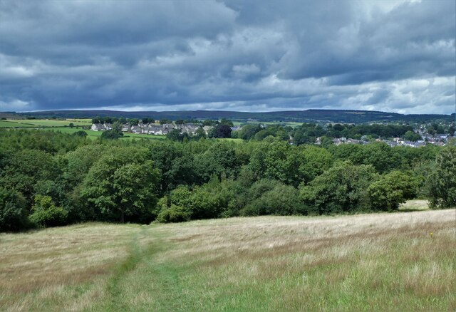
Horsleygate is a small village located in Derbyshire, England. Situated in the district of North East Derbyshire, it lies approximately 9 miles east of the town of Chesterfield. The village is nestled within the picturesque countryside, surrounded by rolling hills and green fields.

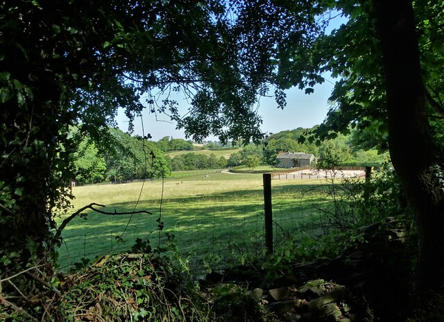
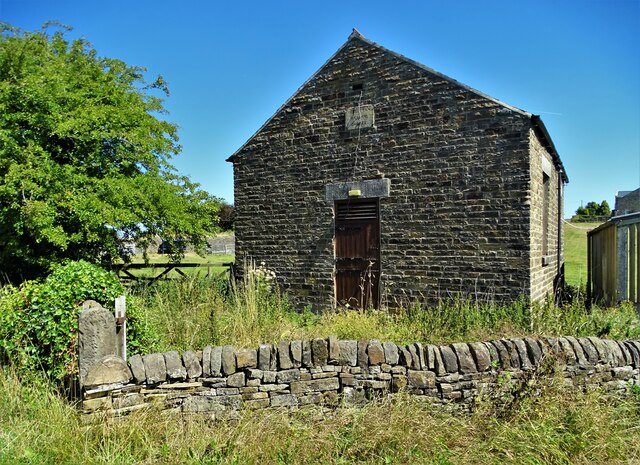
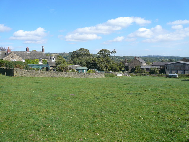
Horsleygate is known for its tranquil and rural setting, making it a popular destination for those seeking a peaceful retreat away from the hustle and bustle of city life. The village is characterized by its charming stone-built cottages and traditional architecture, adding to its overall quaint and idyllic atmosphere.

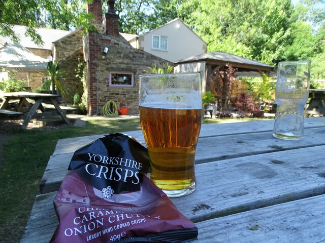
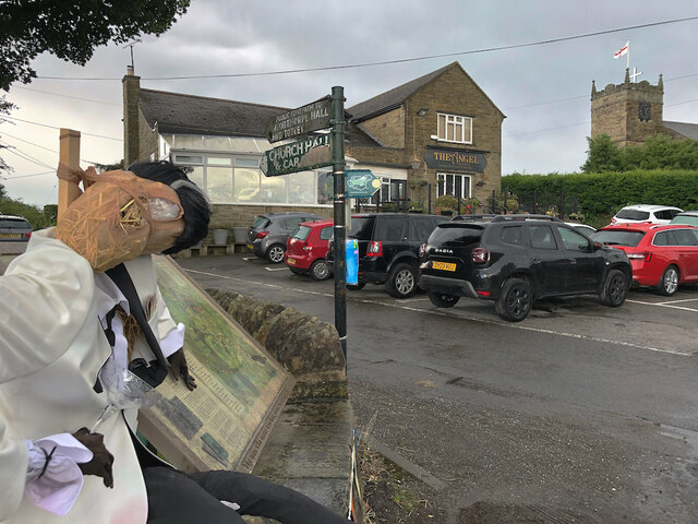
The village offers a range of amenities to its residents and visitors alike. There is a local pub, The Gate Inn, which serves traditional British fare and is a hub for socializing and community events. Additionally, there is a village hall that hosts various activities and gatherings throughout the year.

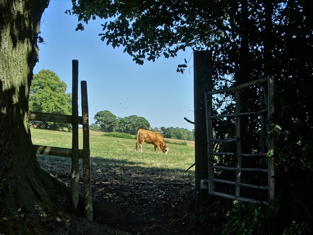
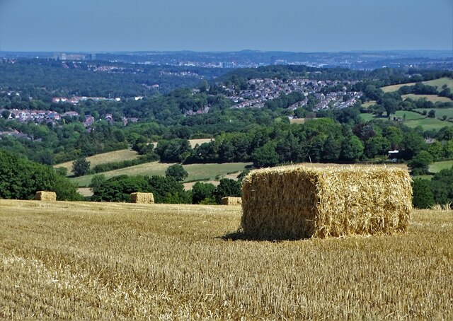
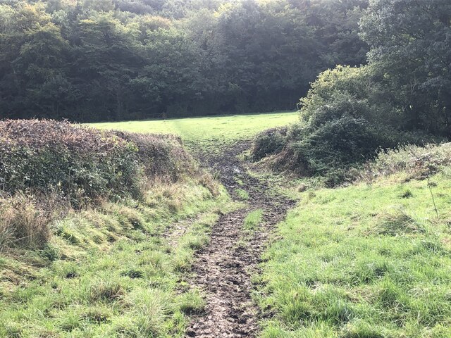
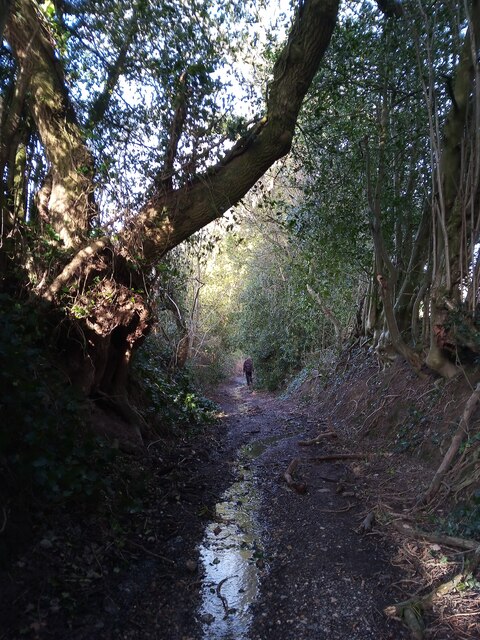
The surrounding area of Horsleygate is abundant in natural beauty and provides ample opportunities for outdoor activities. The nearby Peak District National Park offers stunning landscapes, ideal for hiking, cycling, and exploring the great outdoors. The historic Chatsworth House, a renowned stately home and garden, is also within close proximity to the village and is a popular tourist attraction.

Overall, Horsleygate is a charming and peaceful village that offers a quintessential English countryside experience. Its scenic location, traditional architecture, and access to nearby attractions make it a delightful place to visit or call home.

If you have any feedback on the listing, please let us know in the comments section below.
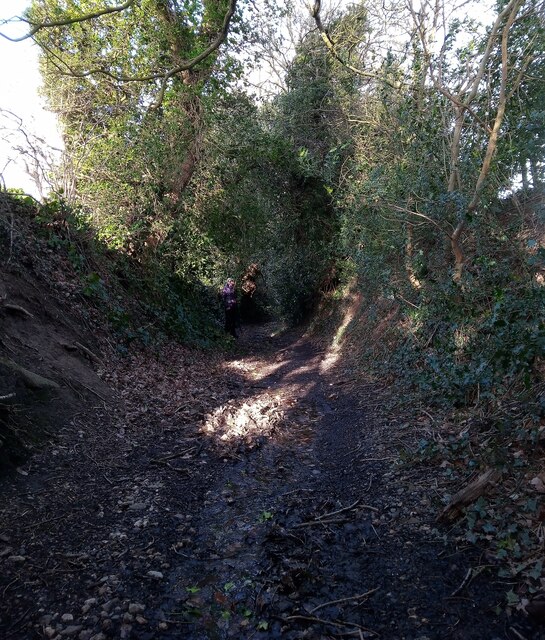
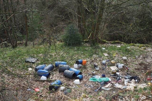
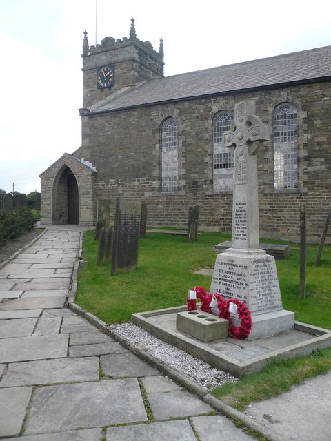
Horsleygate Images

Images are sourced within 2km of 53.288814/-1.5342779 or Grid Reference SK3176. Thanks to Geograph Open Source API. All images are credited.

A field of sunflowers At Barlow Village Sunflowers
A field of sunflowers
At Barlow Village Sunflowers
Giant sunflowers Two of the thousands in a field at Barlow Village Sunflowers
Giant sunflowers
Two of the thousands in a field at Barlow Village Sunflowers
A giant sunflower One of thousands in a field at Barlow Village Sunflowers
A giant sunflower
One of thousands in a field at Barlow Village Sunflowers
Young cow grazing at Horsleygate
Shandy and crisps at "The Royal Oak", Millthorpe On another hot summer's day in August 2022
Shandy and crisps at "The Royal Oak", Millthorpe
On another hot summer's day in August 2022
Gatepost at Holmesfield Common
A view of Owler Lee Farm Seen from Fanshawe Gate Lane
A view of Owler Lee Farm
Seen from Fanshawe Gate Lane
After the Harvest Harvested field at Lydgate, Holmesfield with a view of Sheffield's southern  suburbs.
After the Harvest
Harvested field at Lydgate, Holmesfield with a view of Sheffield's southern suburbs.
Disused chapel at Holmesfield Common This Wesleyan Reform Chapel was erected in 1848. It could accommodate a hundred people.
Disused chapel at Holmesfield Common
This Wesleyan Reform Chapel was erected in 1848. It could accommodate a hundred people.
Angel and scarecrow, Holmesfield Popular gastro-pub next to St Swithin's Church. The rather dishevelled figure on the left would appear to be a remnant of the village's scarecrow hunt/festival/competition, maybe deliberately so, given the champagne glass in its hand, but in no worse a state than many of the others nearby.
Angel and scarecrow, Holmesfield
Popular gastro-pub next to St Swithin's Church. The rather dishevelled figure on the left would appear to be a remnant of the village's scarecrow hunt/festival/competition, maybe deliberately so, given the champagne glass in its hand, but in no worse a state than many of the others nearby.
Looking back to Gillifield Wood and Totley From the edge of Woodthorpe Hall grounds
Looking back to Gillifield Wood and Totley
From the edge of Woodthorpe Hall grounds
Gillifield Wood and Totley In the southern suburbs of Sheffield
Gillifield Wood and Totley
In the southern suburbs of Sheffield
A field full of sunflowers A seasonal visitor attraction at Village Sunflowers
A field full of sunflowers
A seasonal visitor attraction at Village Sunflowers
Strange sight in a field of barley One of the features of the visitor attraction at Village Sunflowers
Strange sight in a field of barley
One of the features of the visitor attraction at Village Sunflowers
The path from Unthank Lane, looking into Stripes Wood
Ancient hollow way This has water in it because of recent rain but I think the path was not intended as a drainage channel. It seemed like an ancient hollow way.
Ancient hollow way
This has water in it because of recent rain but I think the path was not intended as a drainage channel. It seemed like an ancient hollow way.
Ancient hollow way Still in use as a public footpath this hollow way was possibly eroded by the hooves of cattle and pack animals over many centuries, possibly starting before the iron age.
Ancient hollow way
Still in use as a public footpath this hollow way was possibly eroded by the hooves of cattle and pack animals over many centuries, possibly starting before the iron age.
Fly-tip beside Horsleygate Road What can you say?
Fly-tip beside Horsleygate Road
What can you say?
Show me another place!

Horsleygate is located at Grid Ref: SK3176 (Lat: 53.288814, Lng: -1.5342779)

Administrative County: Derbyshire

District: North East Derbyshire

Police Authority: Derbyshire

What 3 Words

///sticky.bunny.breakfast. Near Dronfield, Derbyshire

Nearby Locations

Millthorpe Horsleygate

Related Wikis

Unthank, Derbyshire

Unthank is a hamlet in the North East Derbyshire district of Derbyshire, England. It is sited on a narrow lane on the southern slopes of the Cordwell Valley...

St Swithin's Church, Holmesfield

St Swithin's Church is a Grade II listed parish church in the Church of England in Holmesfield, Derbyshire. == History == The church dates from 1727 with...

Holmesfield

Holmesfield is a village and civil parish in the English county of Derbyshire. The population of the civil parish at the 2011 census was 971. The name...

Cartledge

Cartledge is a hamlet in Derbyshire, England. It is 10 kilometres (6 mi) southwest of Sheffield, and just south of the village of Holmesfield. Its name...

Nearby Amenities

Located within 500m of 53.288814,-1.5342779
Barrier: stile
Lat/Long: 53.2916223/-1.5372747
Barrier: stile
Ele: 162.3471680
Steps: 3
Stile: wall
Lat/Long: 53.285983/-1.5299418
Ele: 164.7503662
Lat/Long: 53.2861235/-1.5313944
Barrier: stile
Ele: 165.9520264
Steps: 1
Stile: stepover
Lat/Long: 53.2861568/-1.5313848
Ele: 182.0539551
Lat/Long: 53.2874991/-1.5323233
Barrier: stile
Ele: 182.2943115
Stile: squeezer
Lat/Long: 53.2875314/-1.5323691
Ele: 181.5733643
Lat/Long: 53.287478/-1.5323142
Barrier: stile
Ele: 180.3717041
Steps: 0
Stile: stepover
Lat/Long: 53.2873601/-1.5323054
Barrier: stile
Ele: 181.3330078
Steps: 1
Stile: stepover
Lat/Long: 53.2874632/-1.5322512
Barrier: stile
Steps: 1
Stile: wall
Lat/Long: 53.2890063/-1.5339681
Passing Place
Lat/Long: 53.284526/-1.5364385
Ele: 157.0000000
Lat/Long: 53.284804/-1.5354835
Barrier: stile
Ele: 158.0000000
Lat/Long: 53.2848253/-1.5354821
Ele: 167.0000000
Lat/Long: 53.2861233/-1.5351683
Ele: 176.0000000
Lat/Long: 53.2866186/-1.5339721
Barrier: stile
Ele: 166.0000000
Steps: 1
Stile: stepover
Lat/Long: 53.2850495/-1.5311073
Ele: 189
Lat/Long: 53.28797/-1.5406175
Ele: 189
Lat/Long: 53.2880226/-1.5409829
Barrier: stile
Lat/Long: 53.289971/-1.5363706
Barrier: stile
Lat/Long: 53.2888164/-1.5344801
Barrier: stile
Lat/Long: 53.2879732/-1.53075
Barrier: stile
Lat/Long: 53.2899235/-1.5289181
Barrier: stile
Lat/Long: 53.2892515/-1.5303041
The data included in this document is from www.openstreetmap.org. The data is made available under ODbL.

Have you been to Horsleygate?

Leave your review of Horsleygate below (or comments, questions and feedback).