Horsington Marsh
Settlement in Somerset South Somerset
England
Horsington Marsh

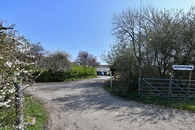
Horsington Marsh is a picturesque rural area located in the county of Somerset, England. Situated near the village of Horsington, it is a predominantly flat marshland covering an area of approximately 2 square miles. The marsh is nestled between the River Cale and the A303 road, offering convenient access for visitors and locals alike.
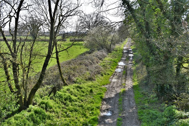
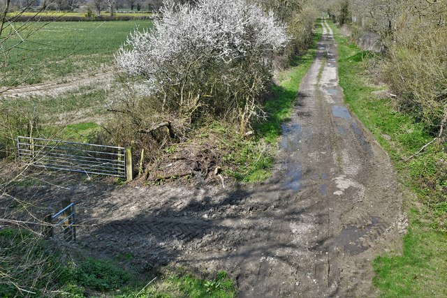
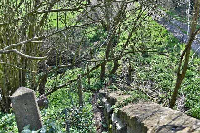
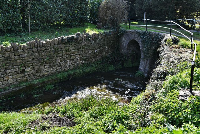
The landscape of Horsington Marsh is characterized by its lush green fields, meandering waterways, and diverse wildlife. The marshland is home to a variety of flora and fauna, including wetland plants, waterfowl, and small mammals. It provides a vital habitat for many species and is recognized as an important natural site in the region.
Walking through Horsington Marsh, one can enjoy the tranquility and beauty of the countryside. The area offers several footpaths and trails that allow visitors to explore the marsh and its surroundings. Additionally, there are designated bird-watching spots where enthusiasts can observe a wide range of bird species in their natural habitat.
Horsington Marsh has also been a subject of conservation efforts, with initiatives aimed at preserving its unique ecosystem. The marshland plays a crucial role in flood prevention, acting as a natural buffer during heavy rainfall. This ecological function has been recognized and protected to ensure the long-term sustainability of the area.
Overall, Horsington Marsh is a charming and ecologically significant location, offering a peaceful retreat for nature lovers and a valuable resource for the local community.
If you have any feedback on the listing, please let us know in the comments section below.
Horsington Marsh Images
Images are sourced within 2km of 51.022016/-2.4039794 or Grid Reference ST7124. Thanks to Geograph Open Source API. All images are credited.


Horsington Marsh is located at Grid Ref: ST7124 (Lat: 51.022016, Lng: -2.4039794)
Administrative County: Somerset
District: South Somerset
Police Authority: Avon and Somerset
What 3 Words
///anchorman.generated.looked. Near Templecombe, Somerset
Nearby Locations
Related Wikis

Church of St John the Baptist, Horsington
The Anglican Church of St John the Baptist in Horsington, Somerset, England was built in the 15th century and rebuilt between 1885 and 1887. It is a Grade...
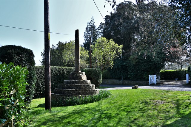
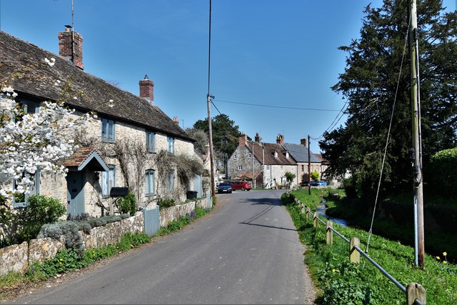
Horsington, Somerset
Horsington is a village and Civil parish in Somerset, England, situated 4 miles (6.4 km) south of Wincanton and 1 mile (1.6 km) north of Templecombe in...
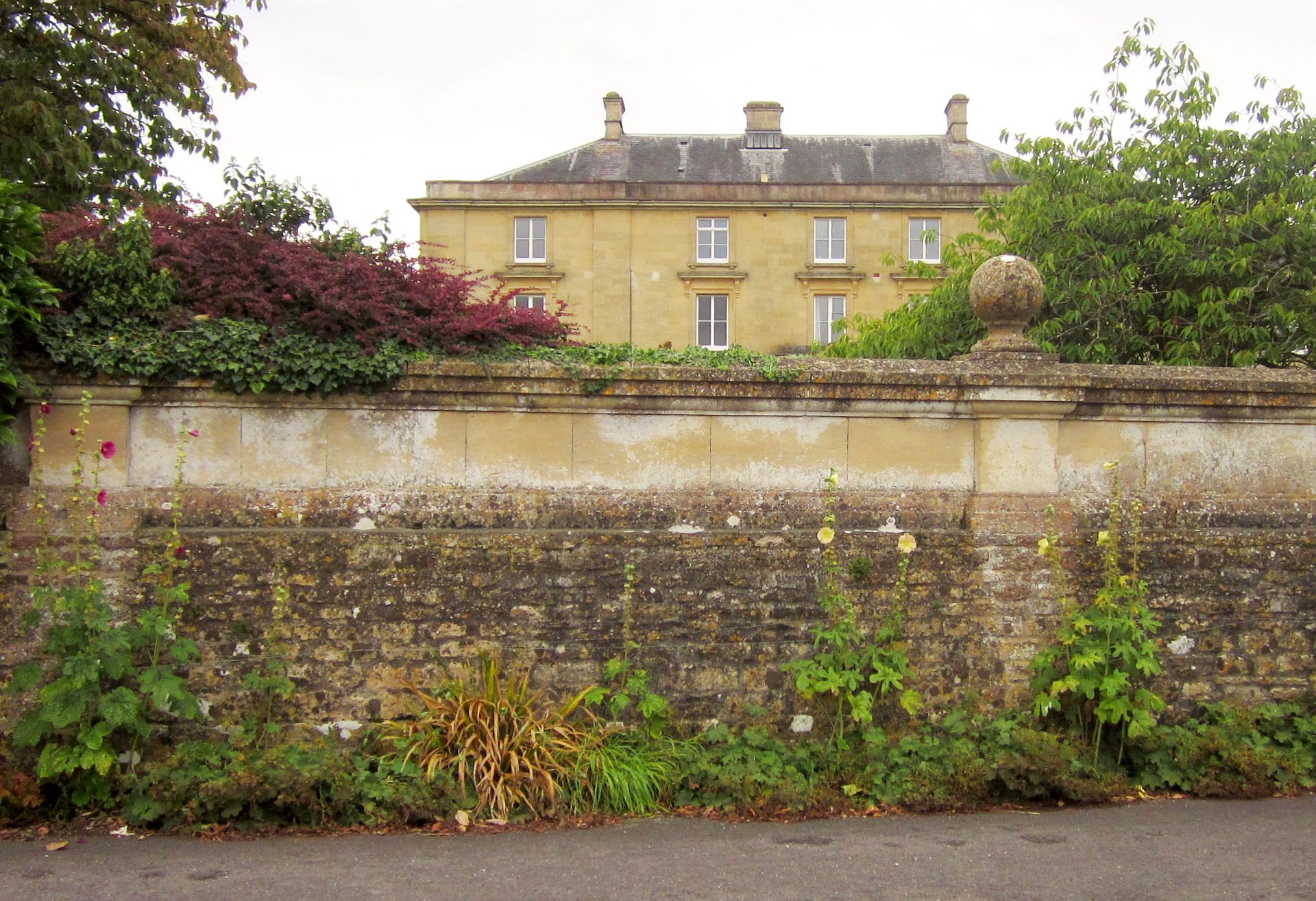
Horsington House
Horsington House is a country house in Horsington, near Templecombe in Somerset. It is a stone-built house with pillared porch, built in 1839. It is a...

Church of St Mary, Abbas and Templecombe
The Anglican Church of St Mary at Templecombe, within the English county of Somerset, was built in the 12th century and is a Grade II* listed building...

Abbas Combe
Abbas Combe is a village in the civil parish of Abbas and Templecombe, in the county of Somerset, England. It is situated on the A357 road beside Templecombe...

Templecombe railway station
Templecombe railway station serves the town of Templecombe in Somerset, England. It is situated on the West of England Main Line, 112 miles 2 chains (180...

Templecombe Preceptory
Templecombe Preceptory (or Combe Templariorum) was established in 1185 in Templecombe, Somerset, England. One of the manors within the parish was held...

North Cheriton
North Cheriton is a small village and civil parish in South Somerset with a population of 208. It is located on the A357 south-west of Wincanton. ��2...
Nearby Amenities
Located within 500m of 51.022016,-2.4039794Have you been to Horsington Marsh?
Leave your review of Horsington Marsh below (or comments, questions and feedback).