Mariansleigh

Settlement in Devon North Devon

England

Mariansleigh

Meshaw: hedge laying On the back lane between Meshaw church and the site of Meshaw Mill
Meshaw: hedge laying Credit: Martin Bodman

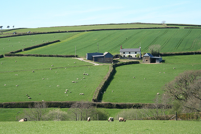
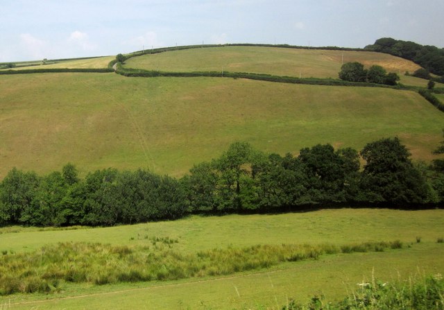
Mariansleigh is a small village located in the county of Devon, England. Situated in the North Devon district, it lies about 5 miles south of South Molton and 13 miles north of the city of Exeter. The village is nestled amidst the picturesque rolling countryside, surrounded by lush green fields and scenic landscapes.

With a population of around 200 residents, Mariansleigh maintains a close-knit and welcoming community. The village exudes a sense of peacefulness and tranquility, making it an idyllic retreat for those seeking a quiet countryside escape. The architecture of Mariansleigh reflects its rich history, with several traditional thatched cottages and historic buildings dotting the landscape.

Despite its small size, Mariansleigh boasts a vibrant social scene. The village pub, The Rising Sun, serves as a popular gathering spot for locals and visitors alike, offering a cozy ambiance and a selection of traditional ales and pub food. The village also has a well-maintained village hall, which hosts various events and activities throughout the year, fostering a strong community spirit.

Mariansleigh enjoys convenient access to nearby amenities and attractions. The bustling market town of South Molton is within easy reach, offering a range of shops, supermarkets, and services. Additionally, the stunning landscapes of Exmoor National Park are just a short drive away, providing ample opportunities for outdoor activities such as hiking, cycling, and wildlife spotting.

In summary, Mariansleigh is a picturesque and peaceful village in the heart of Devon, offering a tight-knit community, beautiful countryside surroundings, and easy access to nearby amenities and attractions.

If you have any feedback on the listing, please let us know in the comments section below.
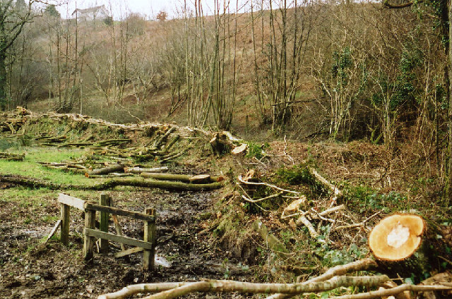
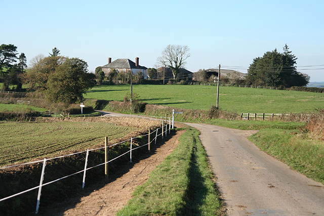
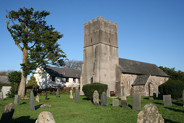
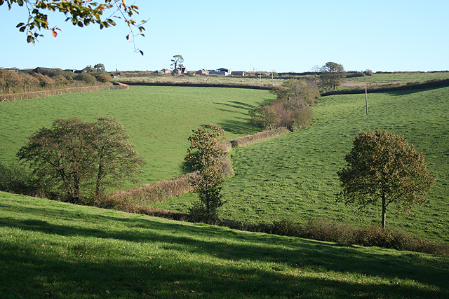
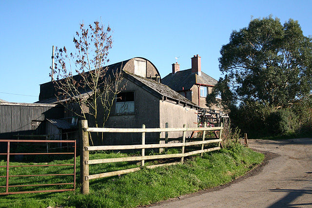
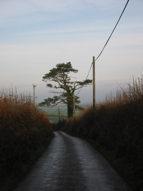
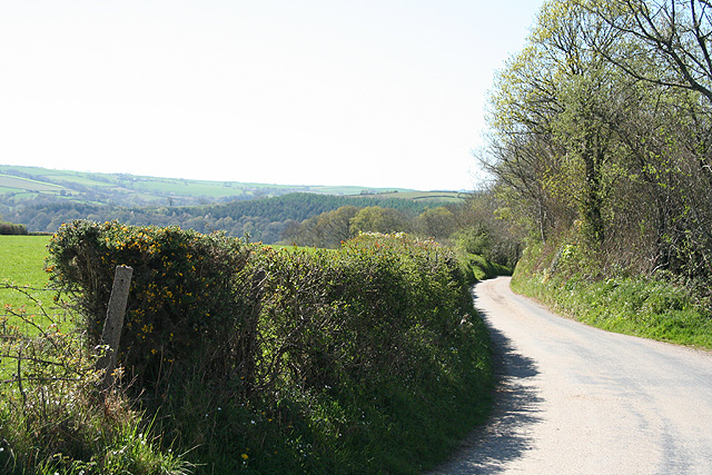
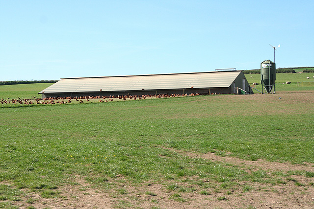
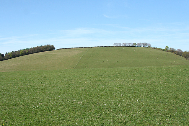
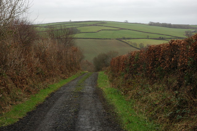
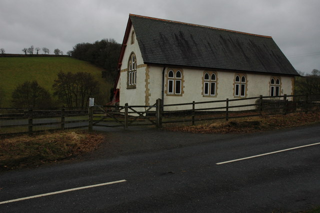
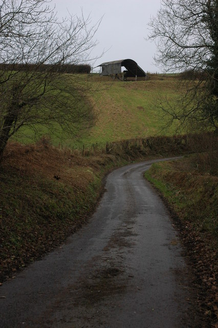
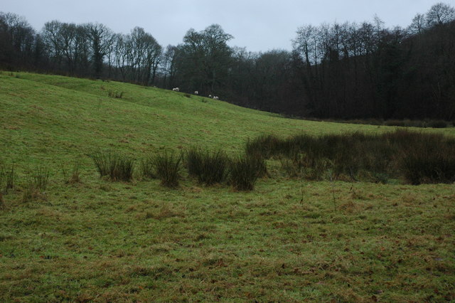
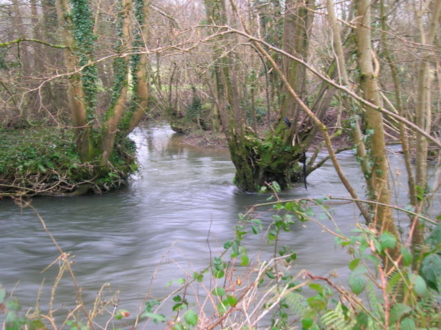
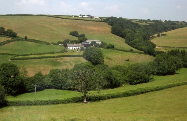
Mariansleigh Images

Images are sourced within 2km of 50.984414/-3.790318 or Grid Reference SS7422. Thanks to Geograph Open Source API. All images are credited.

Meshaw: hedge laying On the back lane between Meshaw church and the site of Meshaw Mill
Meshaw: hedge laying
On the back lane between Meshaw church and the site of Meshaw Mill
Mariansleigh: approaching Hilltown The right turn heads for Bishop’s Nympton; the next junction, on the left, is for Upcott. Ahead is Hilltown farm and the road to Mariansleigh village
Mariansleigh: approaching Hilltown
The right turn heads for Bishop’s Nympton; the next junction, on the left, is for Upcott. Ahead is Hilltown farm and the road to Mariansleigh village
Mariansleigh: St Mary’s church The village name suggests the original dedication was to St Marina and this may have been lost at the Reformation. Looking north east
Mariansleigh: St Mary’s church
The village name suggests the original dedication was to St Marina and this may have been lost at the Reformation. Looking north east
Mariansleigh: towards Upcott Looking south east across a valley south of Mariansleigh village. Upcott is on the skyline
Mariansleigh: towards Upcott
Looking south east across a valley south of Mariansleigh village. Upcott is on the skyline
Mariansleigh: Lower Upcott Looking east-south-east
Mariansleigh: Lower Upcott
Looking east-south-east
Scots Pine mark tree at Uppacott This tree is a landmark visible from miles around. Scots Pine trees were planted to mark farmsteads and drovers routes in the past.
Scots Pine mark tree at Uppacott
This tree is a landmark visible from miles around. Scots Pine trees were planted to mark farmsteads and drovers routes in the past.
Mariansleigh: lane to Alswear Looking west-north-west
Mariansleigh: lane to Alswear
Looking west-north-west
Bishop’s Nympton: towards Barton A small farm west of the village
Bishop’s Nympton: towards Barton
A small farm west of the village
Bishop’s Nympton: near Westwood A poultry farm
Bishop’s Nympton: near Westwood
A poultry farm
Bishop’s Nympton: Crosse A Devon longhouse by the back lane from Bishop’s Nympton to South Molton. Looking north east
Bishop’s Nympton: Crosse
A Devon longhouse by the back lane from Bishop’s Nympton to South Molton. Looking north east
Bishop’s Nympton: towards Blastridge Hill View from Radley Cross looking north. The hill is beyond the square
Bishop’s Nympton: towards Blastridge Hill
View from Radley Cross looking north. The hill is beyond the square
Oxham Lane, Romansleigh Oxham Lane is a track from the village of Romansleigh to the valley through which the poetically named Little Silver Stream flows. Across the valley the pattern of fields to the south of Westacott Farm can be seen on the hillside.
Oxham Lane, Romansleigh
Oxham Lane is a track from the village of Romansleigh to the valley through which the poetically named Little Silver Stream flows. Across the valley the pattern of fields to the south of Westacott Farm can be seen on the hillside.
Parish Hall, near Mariansleigh Hall on the side of the B3137 in the valley between Romansleigh and Mariansleigh.
Parish Hall, near Mariansleigh
Hall on the side of the B3137 in the valley between Romansleigh and Mariansleigh.
Barn near Mariansleigh Barn in a field above Middle Wood to the west of Mariansleigh.
Barn near Mariansleigh
Barn in a field above Middle Wood to the west of Mariansleigh.
Sheep in a field at Odam Bridge Reeds growing in this field at Odam Bridge indicates the land is wet.
Sheep in a field at Odam Bridge
Reeds growing in this field at Odam Bridge indicates the land is wet.
Confluence of the River Mole and Crooked oak Here the River Mole is joined by the Crooked Oak, the third largest tributary of the river. The Brook rises around a mile and a half East of East Knowstone and meanders through the settelments of Ash mill and Bishops Nympton before it meets the Mole here
Confluence of the River Mole and Crooked oak
Here the River Mole is joined by the Crooked Oak, the third largest tributary of the river. The Brook rises around a mile and a half East of East Knowstone and meanders through the settelments of Ash mill and Bishops Nympton before it meets the Mole here
Milltown The farm is seen across the Little Silver Stream valley from the B3137. Further up the slope, above Milltown Wood, is Southacott.
Milltown
The farm is seen across the Little Silver Stream valley from the B3137. Further up the slope, above Milltown Wood, is Southacott.
Little Silver Stream valley From the B3137. Above, Milltown Hill loops around to the right as it climbs from the farm shown in <a href="https://www.geograph.org.uk/photo/3689132">SS7520 : Milltown</a> towards Uppacott Cross.
Little Silver Stream valley
From the B3137. Above, Milltown Hill loops around to the right as it climbs from the farm shown in SS7520 : Milltown towards Uppacott Cross.
Show me another place!

Mariansleigh is located at Grid Ref: SS7422 (Lat: 50.984414, Lng: -3.790318)

Administrative County: Devon

District: North Devon

Police Authority: Devon and Cornwall

What 3 Words

///looks.skippers.races. Near South Molton, Devon

Related Wikis

Mariansleigh

Mariansleigh is a village and civil parish in Devon, England. In 2021 the parish had a population of 170. == External links == GENUKI Mariansleigh Page

Alswear

Alswear is a village in Devon, England, approximately 25 miles (40 km) northwest of Exeter. == References == == External links == Media related to Alswear...

Romansleigh

Romansleigh is a village and civil parish in the North Devon district of Devon, England. It is surrounded clockwise from the north by the parishes of Mariansleigh...

Bishop's Nympton

Bishop's Nympton is a village and civil parish in the North Devon district of Devon, England, about three miles east of South Molton. According to the...

Queen's Nympton

Queen's Nympton or Queensnympton is a small civil parish in the North Devon district of Devon, England. According to the 2001 census it had a population...

Meshaw

Meshaw is a village and civil parish in the North Devon district of Devon, England. Its nearest town is South Molton, which lies approximately 5.9 miles...

Ash Mill

Ash Mill is a village in Devon, England.Ashmill was the site of Ashwater station on the former L.S.W.R. North Cornwall line which closed in the 1960s....

South Molton Community College

South Molton Community College (known to students and teachers as SMCC) is a coeducational foundation secondary school located in South Molton in the English...

Nearby Amenities

Located within 500m of 50.984414,-3.790318
Mariansleigh
Place: village
Source: OS_OpenData_StreetView
Lat/Long: 50.9841465/-3.790165
Generator Method: photovoltaic
Generator Output Electricity: yes
Generator Source: solar
Generator Type: solar_photovoltaic_panel
Location: roof
Power: generator
Lat/Long: 50.9848689/-3.7889139
Generator Method: photovoltaic
Generator Output Electricity: yes
Generator Source: solar
Generator Type: solar_photovoltaic_panel
Location: roof
Power: generator
Lat/Long: 50.9835239/-3.7911281
Generator Method: photovoltaic
Generator Output Electricity: yes
Generator Source: solar
Generator Type: solar_photovoltaic_panel
Location: roof
Power: generator
Lat/Long: 50.9838937/-3.7920749
Power: pole
Source: bing
Lat/Long: 50.9809243/-3.785879
Power: pole
Source: bing
Lat/Long: 50.98117/-3.7868071
Power: pole
Source: bing
Lat/Long: 50.9814115/-3.7877445
Power: pole
Source: bing
Lat/Long: 50.9815736/-3.7883694
Power: pole
Source: bing
Lat/Long: 50.9818725/-3.7898567
Power: pole
Source: bing
Lat/Long: 50.9832715/-3.7924571
Power: pole
Source: bing
Lat/Long: 50.982298/-3.791053
Power: pole
Source: bing
Lat/Long: 50.982732/-3.7922734
Power: pole
Source: bing
Lat/Long: 50.9828156/-3.7936185
Power: pole
Source: bing
Lat/Long: 50.9828941/-3.7948269
Power: pole
Source: bing
Lat/Long: 50.9829861/-3.7961505
Booth: K6
Covered: booth
Man Made: telephone_box
Lat/Long: 50.984397/-3.7907919
Post Box
Post Box Type: wall
Lat/Long: 50.9844233/-3.7906349
The data included in this document is from www.openstreetmap.org. The data is made available under ODbL.

Have you been to Mariansleigh?

Leave your review of Mariansleigh below (or comments, questions and feedback).