Hopshort

Settlement in Shropshire

England

Hopshort

Country Lane by Bishops Wood A country lane by Bishops Wood near to a hamlet called Doley.
Country Lane by Bishops Wood Credit: Stephen Pearce

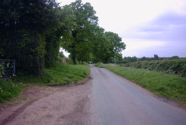
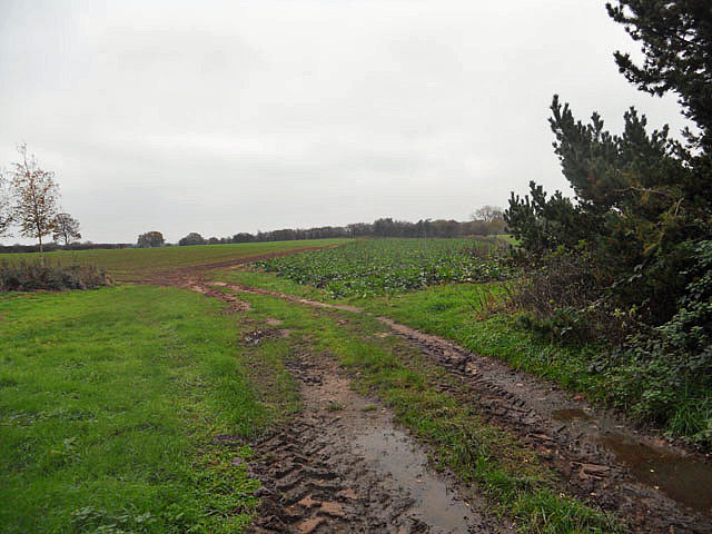
Hopshort is a small village located in the county of Shropshire, England. Situated approximately 5 miles northeast of the county town of Shrewsbury, Hopshort is nestled in a picturesque rural setting, surrounded by rolling hills and lush green fields. The village is part of the Atcham civil parish and falls within the administrative district of Shropshire Council.

With a population of around 300 residents, Hopshort boasts a tight-knit community that thrives on its rural charm. The village is characterized by traditional stone cottages, some dating back several centuries, which add to its historical appeal. The local architecture reflects a blend of different periods, including Tudor and Georgian influences.

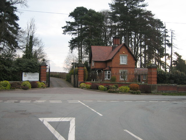
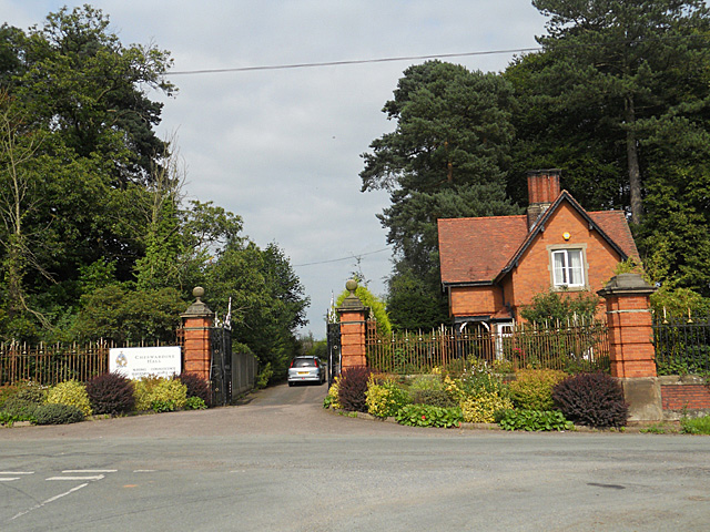
Despite its small size, Hopshort is well-served by various amenities. The village features a village hall, which serves as a hub for community activities and events. Additionally, there is a local public house that acts as a gathering place for residents and visitors alike.

The surrounding countryside offers ample opportunities for outdoor activities, including scenic walks, cycling, and horse riding. The village is also in close proximity to the River Severn, providing opportunities for fishing and boating enthusiasts.

Hopshort benefits from its strategic location, with excellent transport links to neighboring towns and cities. The A5 road runs nearby, connecting the village to Shrewsbury and Telford, while the nearby Shrewsbury railway station provides regular services to destinations across the country.

In summary, Hopshort exudes a timeless charm with its rural setting, historical architecture, and strong sense of community. It offers a tranquil retreat for those seeking a peaceful village lifestyle within easy reach of urban conveniences.

If you have any feedback on the listing, please let us know in the comments section below.
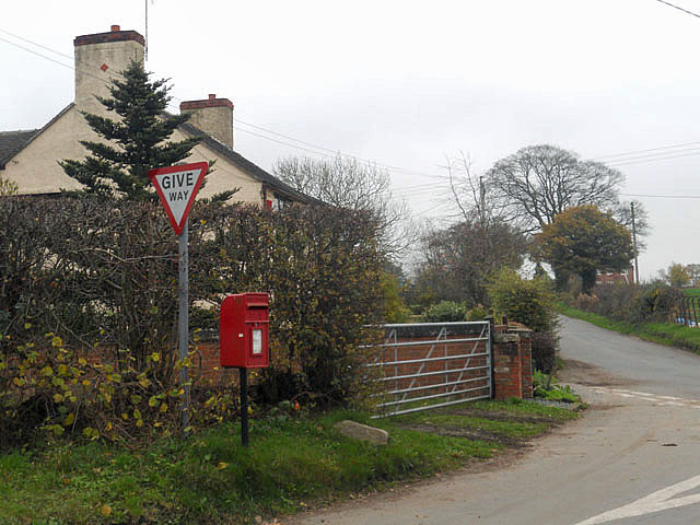
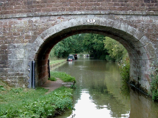
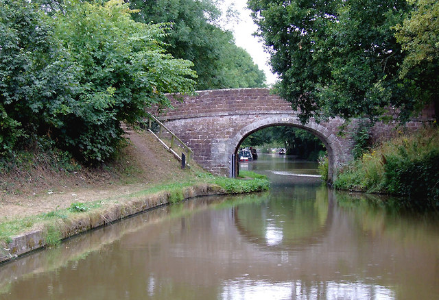
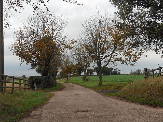
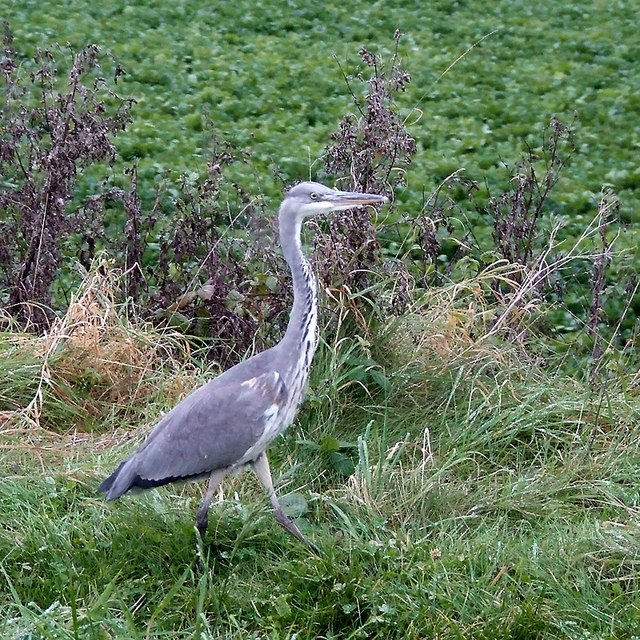
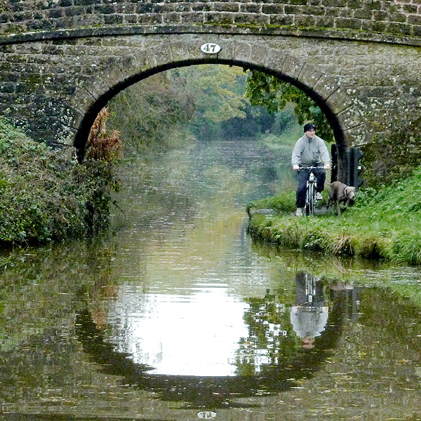
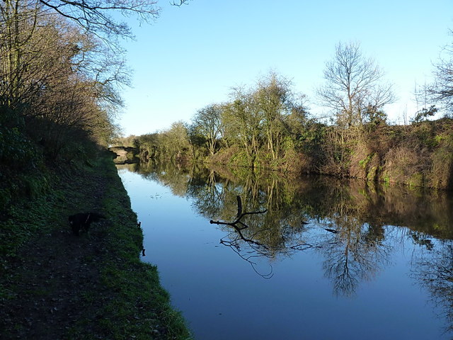
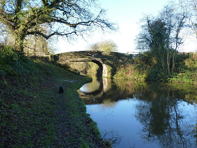
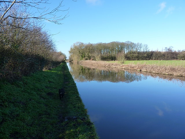
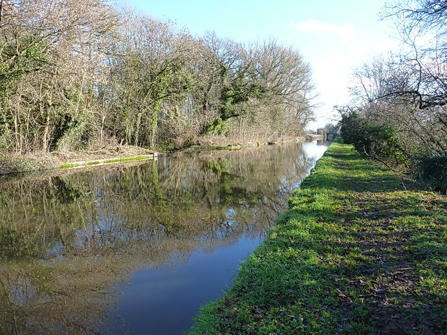
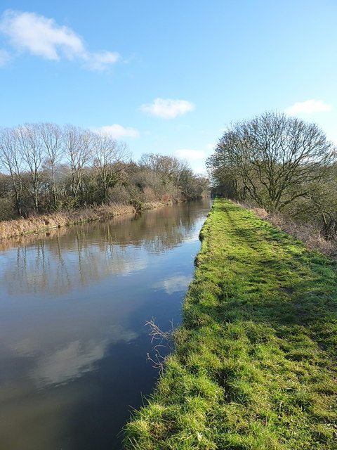
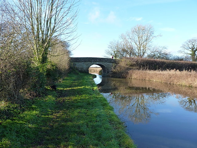
Hopshort Images

Images are sourced within 2km of 52.852716/-2.4033269 or Grid Reference SJ7228. Thanks to Geograph Open Source API. All images are credited.

Country Lane by Bishops Wood A country lane by Bishops Wood near to a hamlet called Doley.
Country Lane by Bishops Wood
A country lane by Bishops Wood near to a hamlet called Doley.
The main entrance and Lodge for Cheswardine Hall The view is taken from the road from Cheswardine village, and shows the ornate wrought iron gates on the main drive up to Cheswardine Hall. The Lodge is now in separate ownership from the Hall, and careful examination of the drive beyond the gates shows a modern concrete fence separating the two properties.
The main entrance and Lodge for Cheswardine Hall
The view is taken from the road from Cheswardine village, and shows the ornate wrought iron gates on the main drive up to Cheswardine Hall. The Lodge is now in separate ownership from the Hall, and careful examination of the drive beyond the gates shows a modern concrete fence separating the two properties.
Entrance to Cheswardine Hall
Fields and crops near Hopshot
Postbox at Doley crossroads
Hallemans Bridge west of Soudley, Shropshire Bridge No 53 across the Shropshire Union Canal carries Westcott Lane between Cheswardine and Goldstone.
Hallemans Bridge west of Soudley, Shropshire
Bridge No 53 across the Shropshire Union Canal carries Westcott Lane between Cheswardine and Goldstone.
Hallemans Bridge west of Soudley, Shropshire Bridge No 53 across the Shropshire Union Canal carries Westcott Lane between Cheswardine and Goldstone.
Hallemans Bridge west of Soudley, Shropshire
Bridge No 53 across the Shropshire Union Canal carries Westcott Lane between Cheswardine and Goldstone.
Private driveway
Private driveway
Canalside heron near Soudley, Shropshire Seen on the towpath of the Shropshire Union Canal.
Canalside heron near Soudley, Shropshire
Seen on the towpath of the Shropshire Union Canal.
Biking the dog, near Cheswardine, Shropshire Well "walking the dog" would seem to be a wild inaccuracy, and I do try to make my descriptions reliable. This is at Black Flat Bridge, No 47 across the Shropshire Union Canal, on a dull morning in October.
Biking the dog, near Cheswardine, Shropshire
Well "walking the dog" would seem to be a wild inaccuracy, and I do try to make my descriptions reliable. This is at Black Flat Bridge, No 47 across the Shropshire Union Canal, on a dull morning in October.
Shroppy canal at Knighton A section of the canal coming out of Knighton cutting, and heading towards the Black Flat bridge in the distance.
Shroppy canal at Knighton
A section of the canal coming out of Knighton cutting, and heading towards the Black Flat bridge in the distance.
Black Flat bridge (no 47) on the Shroppy
The Knighton Wood straight Between Knighton cutting and the woods ahead, the canal here cuts a dead straight course across the countryside of Staffordshire. The border with Shropshire is just on the far side of the woods.
The Knighton Wood straight
Between Knighton cutting and the woods ahead, the canal here cuts a dead straight course across the countryside of Staffordshire. The border with Shropshire is just on the far side of the woods.
In Knighton Wood An area that used to provide superb fishing - small roach, perch and gudgeon aplenty in the 1980s, with the chance of a decent bream or carp once in a while. It'd be interesting to have a warm afternoon back here with half a pint of pinkies and some bloodworm.
In Knighton Wood
An area that used to provide superb fishing - small roach, perch and gudgeon aplenty in the 1980s, with the chance of a decent bream or carp once in a while. It'd be interesting to have a warm afternoon back here with half a pint of pinkies and some bloodworm.
Just west of Knighton Wood A straight section of the Shroppy, where it crosses the county border between Shrops (in the foreground) and Staffs (about 150 yards away)
Just west of Knighton Wood
A straight section of the Shroppy, where it crosses the county border between Shrops (in the foreground) and Staffs (about 150 yards away)
Park Heath bridge (48) The road between Puleston and Soudley crosses the Shroppy at Park Heath.
Park Heath bridge (48)
The road between Puleston and Soudley crosses the Shroppy at Park Heath.
Canal milepost at Park Heath One of several original cast iron mileposts along this piece of the canal. The next one southeast is <a href="https://www.geograph.org.uk/photo/3819006">SJ7426 : Canal milepost at Knighton</a>, and the next one northwest is <a href="https://www.geograph.org.uk/photo/3819019">SJ7128 : Canal milepost at Little Soudley</a>
Canal milepost at Park Heath
One of several original cast iron mileposts along this piece of the canal. The next one southeast is SJ7426 : Canal milepost at Knighton, and the next one northwest is SJ7128 : Canal milepost at Little Soudley
Hazeldines Bridge (no 49) A farm bridge, providing access from Park Heath farm to fields north of the canal.
Hazeldines Bridge (no 49)
A farm bridge, providing access from Park Heath farm to fields north of the canal.
Show me another place!

Hopshort is located at Grid Ref: SJ7228 (Lat: 52.852716, Lng: -2.4033269)

Unitary Authority: Shropshire

Police Authority: West Merica

What 3 Words

///cork.suitably.cubs. Near Chetwynd, Shropshire

Nearby Locations

Soudley Hopshort

Related Wikis

Soudley, Shropshire

Soudley is a small village in Shropshire in the civil parish of Cheswardine. The village had a pub called The Wheatsheaf until it was destroyed by fire...

Cheswardine

Cheswardine ( CHEZ-war-dyne) is a rural village and civil parish in north east Shropshire, England. The village lies close to the border with Staffordshire...

Goldstone, Shropshire

Goldstone is a small hamlet in eastern Shropshire, England, in the civil parish of Cheswardine. It lies in an isolated rural area north of Hinstock and...

Knighton, Stafford

Knighton is a hamlet part of the parish of Adbaston in the county of Staffordshire, England. Knighton is situated close to the Staffordshire/Shropshire...

Nearby Amenities

Located within 500m of 52.852716,-2.4033269
Power: pole
Lat/Long: 52.8530694/-2.409082
Power: pole
Lat/Long: 52.8534173/-2.4071258
Power: pole
Lat/Long: 52.8537054/-2.405585
Power: pole
Lat/Long: 52.8540345/-2.4037234
Power: pole
Lat/Long: 52.8543617/-2.4017494
Power: pole
Lat/Long: 52.8546785/-2.3998618
Power: pole
Lat/Long: 52.8550357/-2.3984074
Give Way
Direction: backward
Lat/Long: 52.8548846/-2.4056614
Give Way
Direction: forward
Lat/Long: 52.8528231/-2.4031902
Give Way
Direction: backward
Lat/Long: 52.8527207/-2.4032692
The data included in this document is from www.openstreetmap.org. The data is made available under ODbL.

Have you been to Hopshort?

Leave your review of Hopshort below (or comments, questions and feedback).